Sheffield Rough
Wood, Forest in Hampshire New Forest
England
Sheffield Rough
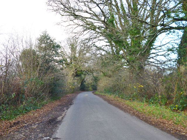
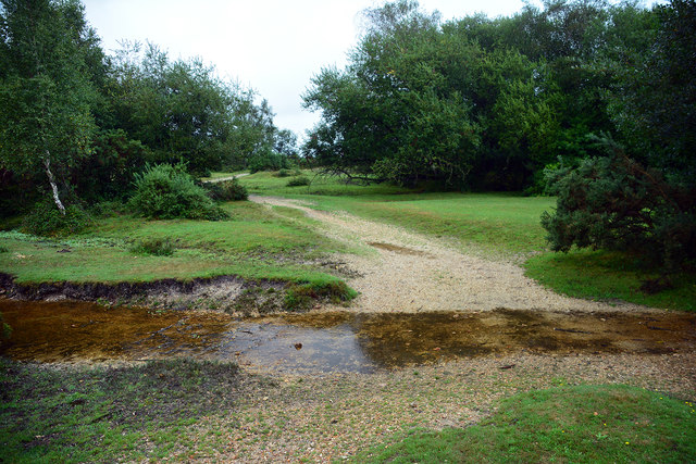
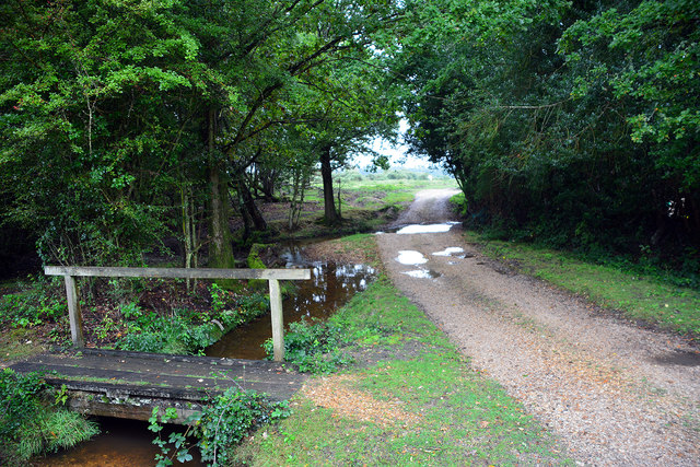
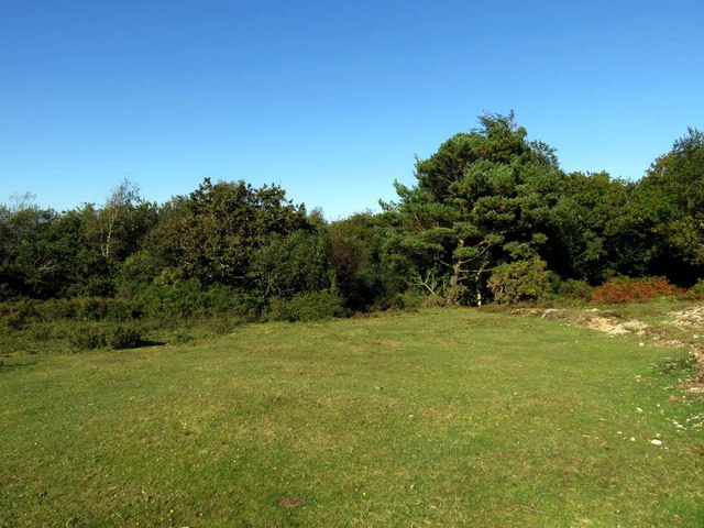
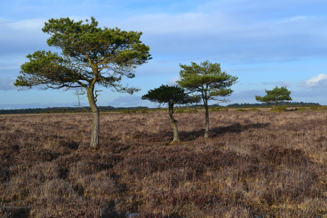
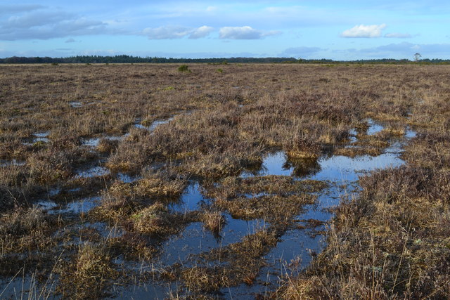
Sheffield Rough, Hampshire is a picturesque woodland area located in the southern region of England. Covering an expansive area of approximately 500 acres, it is renowned for its natural beauty and rich biodiversity. The rough is situated in the county of Hampshire, specifically within the district of Sheffield.
The woodland is characterized by its dense canopy of trees, predominantly consisting of native species such as oak, beech, and birch. The forest floor is adorned with a variety of vibrant wildflowers and ferns, adding to its scenic allure. Sheffield Rough is home to a diverse range of wildlife, including numerous bird species such as woodpeckers, owls, and various songbirds. It also provides shelter to small mammals like foxes, badgers, and deer.
The rough offers a multitude of recreational opportunities for visitors. There are several well-maintained walking trails that wind their way through the forest, allowing visitors to immerse themselves in the tranquil surroundings. These paths provide an ideal setting for nature walks, birdwatching, and photography. Sheffield Rough also contains designated picnic areas, which are perfect for enjoying a leisurely lunch amidst the natural splendor.
Additionally, the rough plays a vital role in the local ecosystem, acting as a carbon sink and contributing to the overall climate regulation of the area. It provides valuable habitat for a wide range of flora and fauna, supporting the delicate balance of the local ecosystem.
In summary, Sheffield Rough, Hampshire is a stunning woodland area that offers visitors a chance to escape the hustle and bustle of urban life and immerse themselves in the beauty of nature. With its diverse wildlife, scenic trails, and serene atmosphere, it is a haven for nature enthusiasts and a treasure of the Hampshire countryside.
If you have any feedback on the listing, please let us know in the comments section below.
Sheffield Rough Images
Images are sourced within 2km of 50.796666/-1.52831 or Grid Reference SZ3399. Thanks to Geograph Open Source API. All images are credited.


Sheffield Rough is located at Grid Ref: SZ3399 (Lat: 50.796666, Lng: -1.52831)
Administrative County: Hampshire
District: New Forest
Police Authority: Hampshire
What 3 Words
///competent.dweller.parsnips. Near Brockenhurst, Hampshire
Nearby Locations
Related Wikis

Pilley, Hampshire
Pilley is a small village in the civil parish of Boldre, in the New Forest national park in Hampshire, England. Pilley is located 2 miles north of the...

Roydon Woods
Roydon Woods is a 294.9-hectare (729-acre) biological Site of Special Scientific Interest near Brockenhurst in Hampshire. It is a nature reserve managed...

RAF Beaulieu
Royal Air Force Beaulieu or more simply RAF Beaulieu is a former Royal Air Force station in the New Forest, Hampshire, England. It was also known as Beaulieu...
Boldre
Boldre is a village and civil parish in the New Forest district of Hampshire, England. It is in the south of the New Forest National Park, above the broadening...

Portmore, Hampshire
Portmore is a hamlet in the New Forest National Park of Hampshire, England. It is in the civil parish of Boldre. Its nearest town is Lymington, which...

A337 road
The A337 road is a road in southern England that runs from the M27 motorway in Hampshire to Christchurch in Dorset. == Route of Road == The A337 begins...

Walhampton School
Walhampton School is a coeducational private preparatory school situated in the hamlet of Walhampton, near Lymington, England. It is the result of the...
Lymington River Reedbeds
Lymington River Reedbeds is a 41.7-hectare (103-acre) biological Site of Special Scientific Interest in Lymington in Hampshire. It is a nature reserve...
Nearby Amenities
Located within 500m of 50.796666,-1.52831Have you been to Sheffield Rough?
Leave your review of Sheffield Rough below (or comments, questions and feedback).