Sheffield Copse
Wood, Forest in Hampshire New Forest
England
Sheffield Copse
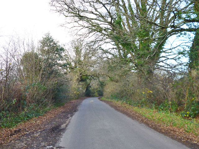
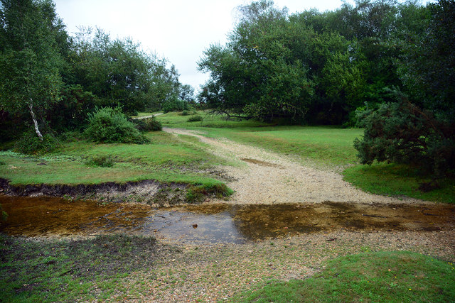
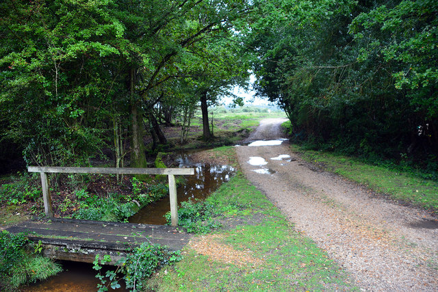
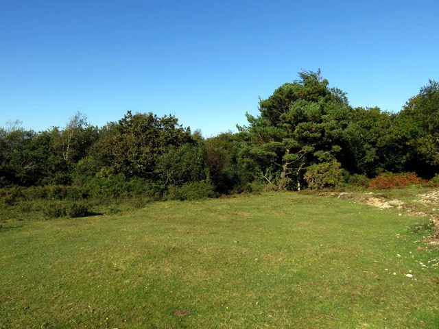
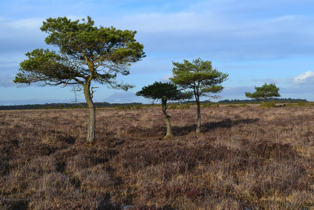
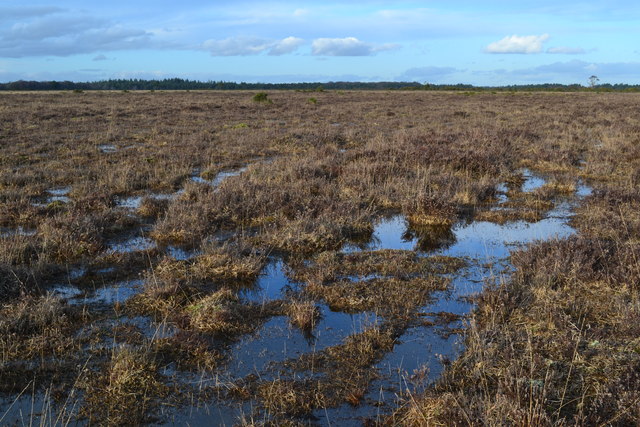
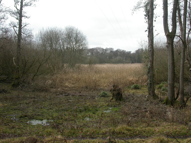
Sheffield Copse, located in Hampshire, is a charming woodland area renowned for its natural beauty and diverse ecosystem. Spanning over several acres, this enchanting forest is a popular destination for nature enthusiasts and outdoor adventurers alike.
The copse is home to a wide variety of tree species, including oak, beech, birch, and pine, creating a rich tapestry of vibrant foliage that changes with the seasons. The dense canopy provides ample shade during the summer months, making it an ideal spot for picnics and leisurely walks.
Traversing Sheffield Copse, visitors will come across a network of well-maintained trails that wind their way through the forest, allowing for easy exploration of the area. These pathways cater to all levels of fitness and are suitable for both casual strolls and more challenging hikes.
The copse supports a thriving ecosystem, with a plethora of wildlife species calling it home. Birdwatchers can look forward to spotting various avian species, including woodpeckers, owls, and warblers. Additionally, the copse is home to mammals such as deer, foxes, and badgers, adding to the allure of this natural haven.
Sheffield Copse offers a tranquil retreat from the hustle and bustle of everyday life. Its peaceful ambiance, coupled with its stunning natural scenery, makes it a favorite spot for those seeking solace in nature. Whether it's a quiet walk, a family outing, or a solo exploration, Sheffield Copse promises to deliver a memorable experience for all who visit.
If you have any feedback on the listing, please let us know in the comments section below.
Sheffield Copse Images
Images are sourced within 2km of 50.796393/-1.5298025 or Grid Reference SZ3399. Thanks to Geograph Open Source API. All images are credited.


Sheffield Copse is located at Grid Ref: SZ3399 (Lat: 50.796393, Lng: -1.5298025)
Administrative County: Hampshire
District: New Forest
Police Authority: Hampshire
What 3 Words
///rigid.headers.blotting. Near Brockenhurst, Hampshire
Nearby Locations
Related Wikis

Pilley, Hampshire
Pilley is a small village in the civil parish of Boldre, in the New Forest national park in Hampshire, England. Pilley is located 2 miles north of the...

Roydon Woods
Roydon Woods is a 294.9-hectare (729-acre) biological Site of Special Scientific Interest near Brockenhurst in Hampshire. It is a nature reserve managed...

RAF Beaulieu
Royal Air Force Beaulieu or more simply RAF Beaulieu is a former Royal Air Force station in the New Forest, Hampshire, England. It was also known as Beaulieu...
Boldre
Boldre is a village and civil parish in the New Forest district of Hampshire, England. It is in the south of the New Forest National Park, above the broadening...

Portmore, Hampshire
Portmore is a hamlet in the New Forest National Park of Hampshire, England. It is in the civil parish of Boldre. Its nearest town is Lymington, which...

A337 road
The A337 road is a road in southern England that runs from the M27 motorway in Hampshire to Christchurch in Dorset. == Route of Road == The A337 begins...
Lymington River Reedbeds
Lymington River Reedbeds is a 41.7-hectare (103-acre) biological Site of Special Scientific Interest in Lymington in Hampshire. It is a nature reserve...

Walhampton School
Walhampton School is a coeducational private preparatory school situated in the hamlet of Walhampton, near Lymington, England. It is the result of the...
Nearby Amenities
Located within 500m of 50.796393,-1.5298025Have you been to Sheffield Copse?
Leave your review of Sheffield Copse below (or comments, questions and feedback).