Black Spinney

Wood, Forest in Warwickshire Warwick

England

Black Spinney

The summit of Howes Lane Howes Lane (B4115) forms part of Coventry city boundary. Here it crosses a low ridge that juts out between the river Sowe and Finham brook. The oak trees are a reminder of its former rural nature but beyond the hedgerow on the right traffic roars by on the A46 bypass.
The summit of Howes Lane Credit: E Gammie

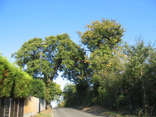
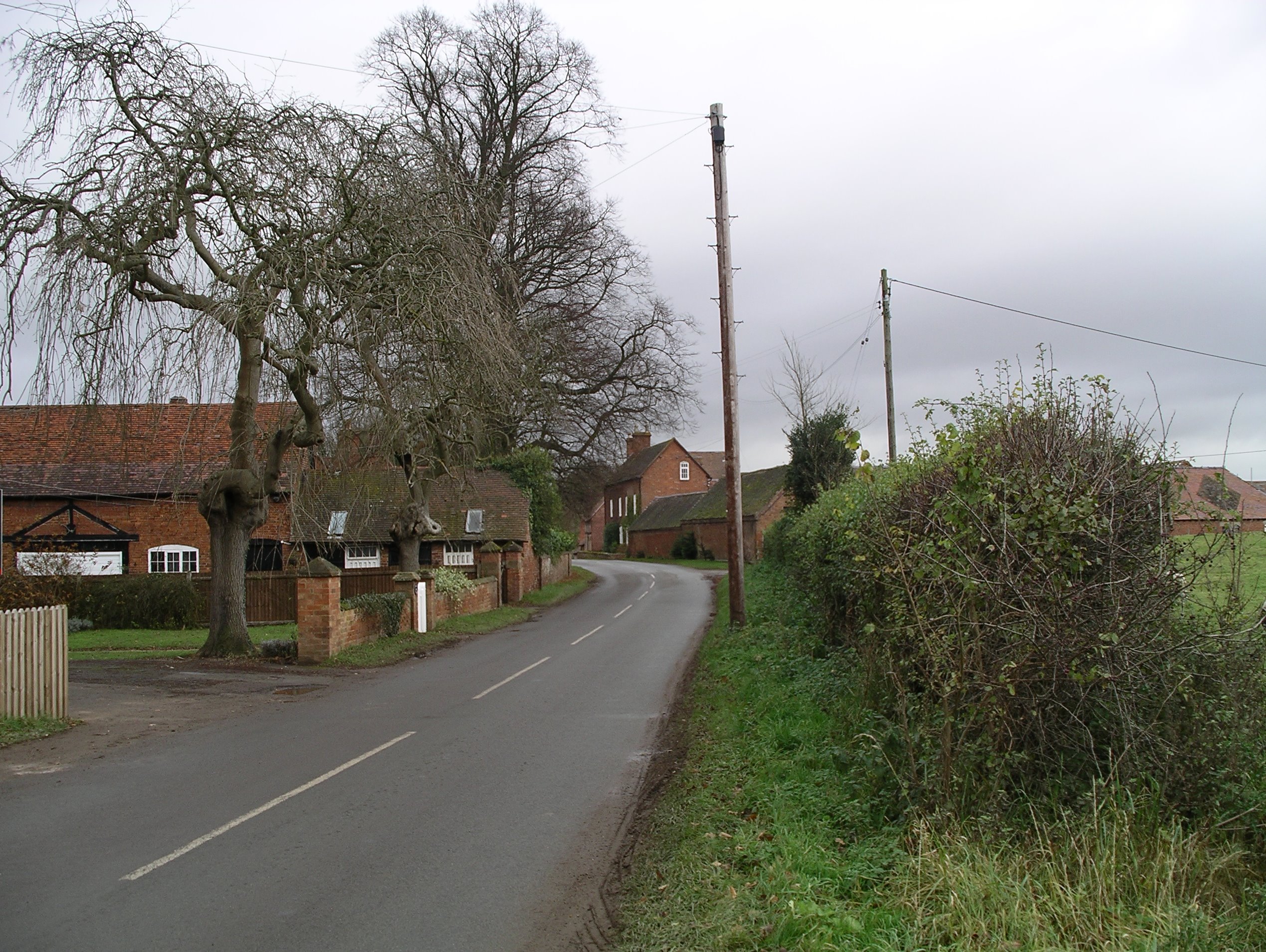
Black Spinney is a picturesque woodland located in Warwickshire, England. Situated near the village of Wood End, this forested area spans over 100 acres and offers a tranquil escape from the hustle and bustle of urban life. The name "Black Spinney" derives from the dense canopy of trees that create a shadowy ambiance throughout the woodland.

The forest is predominantly composed of native deciduous trees, including oak, beech, and birch, which provide a beautiful display of vibrant colors during autumn. The forest floor is covered with an array of wildflowers and ferns, adding to the natural beauty of the surroundings.

Black Spinney is a haven for wildlife enthusiasts, as it is home to a diverse range of species. Birdwatchers can spot a variety of bird species, such as woodpeckers, owls, and thrushes, while squirrels and badgers are often seen scurrying among the undergrowth. The woodland also supports an abundance of insects, including butterflies and beetles.

Visitors to Black Spinney can enjoy a network of well-maintained walking trails, allowing them to explore the forest at their own pace. These trails lead to hidden clearings, babbling streams, and scenic viewpoints, offering opportunities for peaceful reflection and nature observation. The forest is a popular destination for families, as it provides a safe and educational environment for children to learn about the natural world.

In summary, Black Spinney is a captivating woodland in Warwickshire, offering a serene retreat for nature lovers. With its diverse flora and fauna, well-marked trails, and peaceful ambiance, it is a delightful destination for anyone seeking solace in the heart of nature.

If you have any feedback on the listing, please let us know in the comments section below.

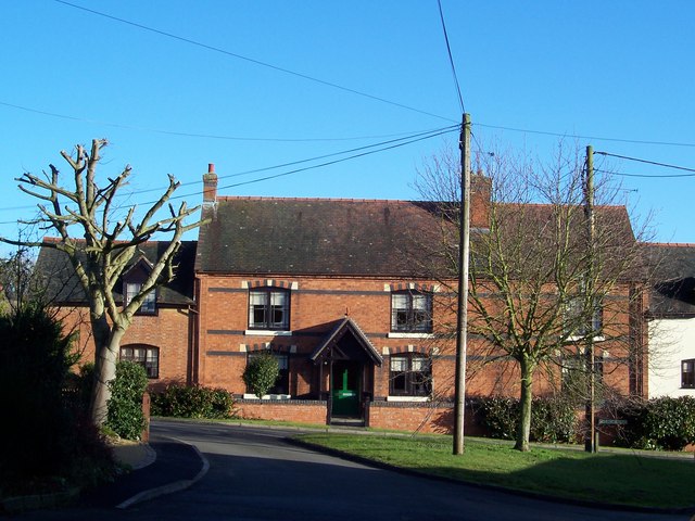
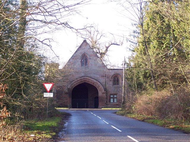
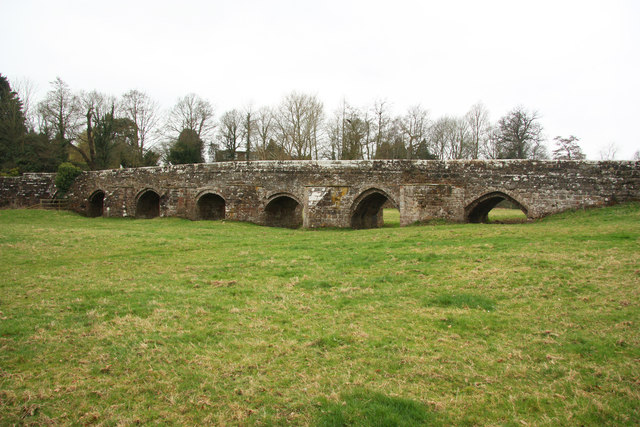
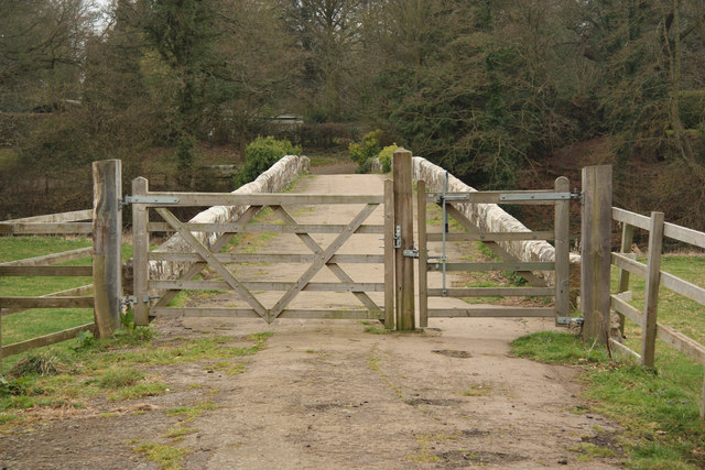
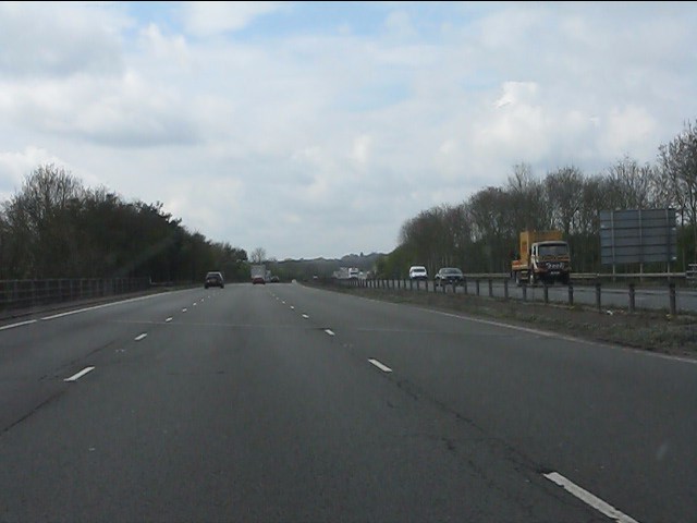
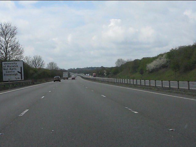
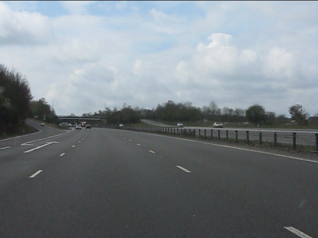
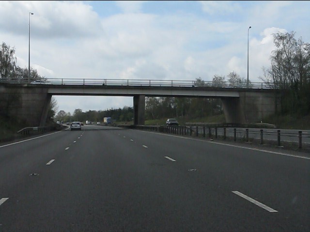
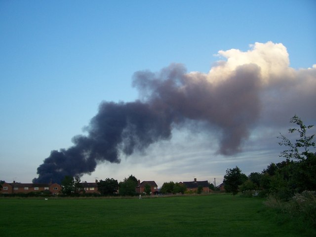
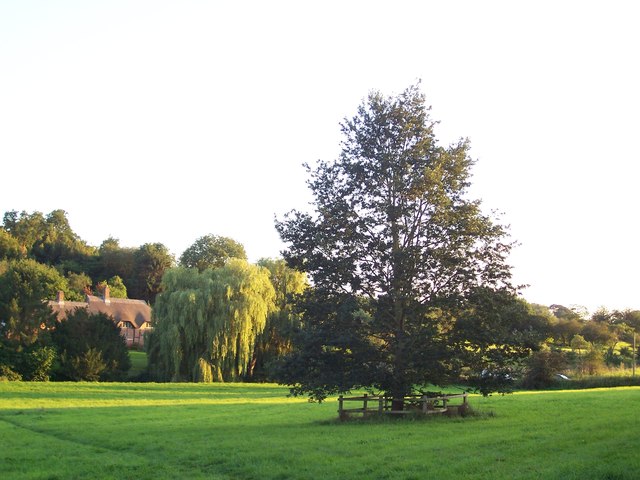
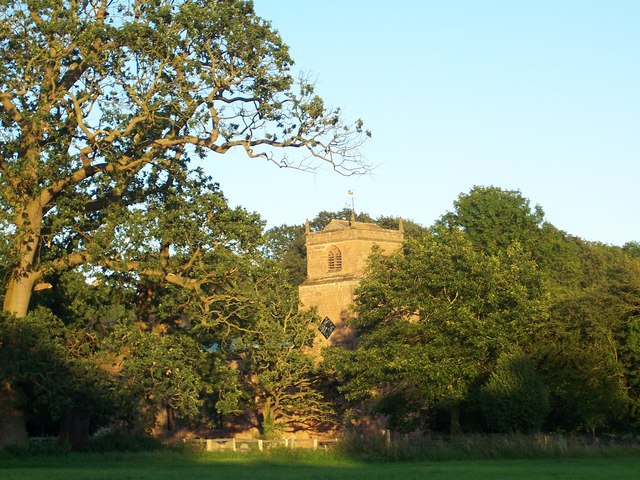
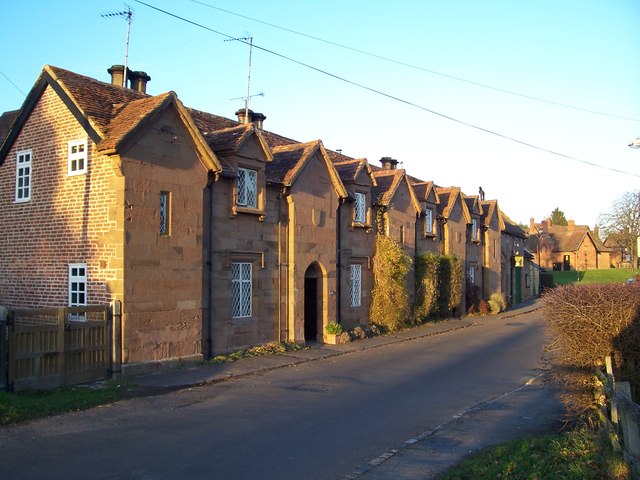
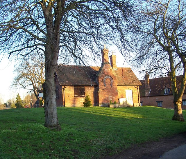
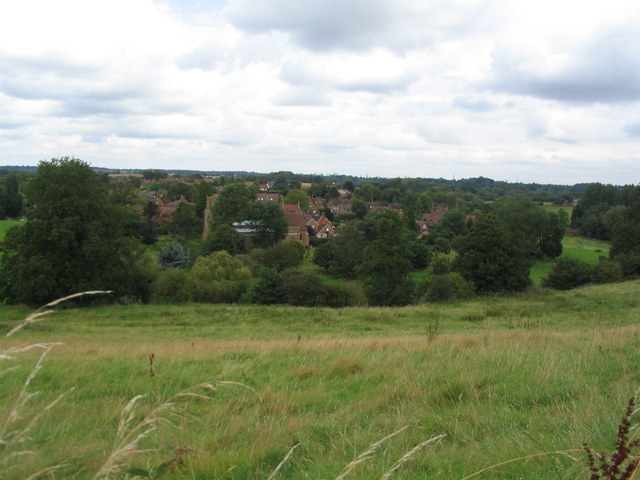
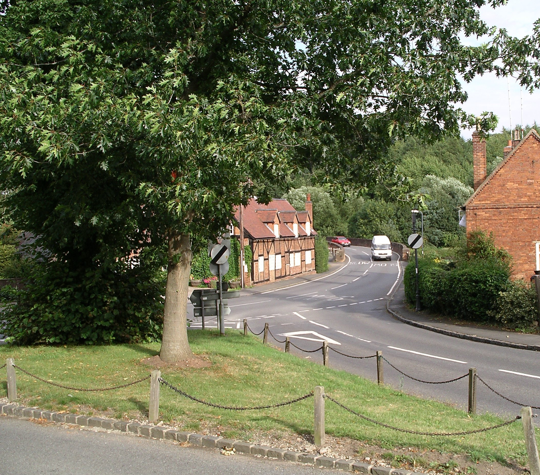
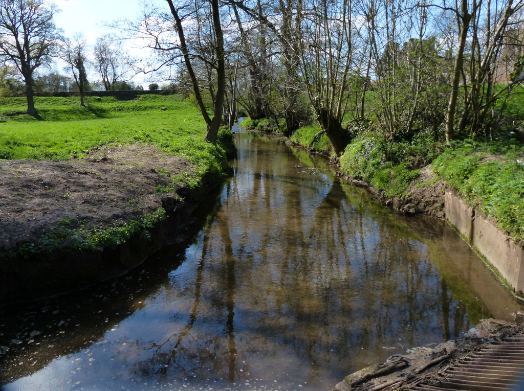
Black Spinney Images

Images are sourced within 2km of 52.35379/-1.504036 or Grid Reference SP3372. Thanks to Geograph Open Source API. All images are credited.

The summit of Howes Lane Howes Lane (B4115) forms part of Coventry city boundary. Here it crosses a low ridge that juts out between the river Sowe and Finham brook. The oak trees are a reminder of its former rural nature but beyond the hedgerow on the right traffic roars by on the A46 bypass.
The summit of Howes Lane
Howes Lane (B4115) forms part of Coventry city boundary. Here it crosses a low ridge that juts out between the river Sowe and Finham brook. The oak trees are a reminder of its former rural nature but beyond the hedgerow on the right traffic roars by on the A46 bypass.
St John the Baptist Church, Baginton
Graves of Polish Servicemen at St John the Baptist Church, Baginton There are nine graves of Polish airmen who were fighting with the RAF and were stationed at RAF Baginton, now Coventry Airport. They were all members of 308 (Krakow) Squadron.
Graves of Polish Servicemen at St John the Baptist Church, Baginton
There are nine graves of Polish airmen who were fighting with the RAF and were stationed at RAF Baginton, now Coventry Airport. They were all members of 308 (Krakow) Squadron.
Lucy Price House, Church Road, Baginton This is named after Lucy Price (nee Bromley) who was a benefactress and endowed the village with a school in 1814. The house was built in the late 16th/early 17th century and is timber framed.
Lucy Price House, Church Road, Baginton
This is named after Lucy Price (nee Bromley) who was a benefactress and endowed the village with a school in 1814. The house was built in the late 16th/early 17th century and is timber framed.
Home Farm, Baginton
Home Farm, Baginton
Tantara Lodge Once a gatehouse for Stoneleigh Abbey, it now sits on the fringe of Stoneleigh Golf Course.
Tantara Lodge
Once a gatehouse for Stoneleigh Abbey, it now sits on the fringe of Stoneleigh Golf Course.
Stare Bridge Grade II* listed, 15th century bridge across the River Avon and floodplain, it is one of the finest surviving examples of a medieval bridge. Only 10ft wide, it has long-since been replaced by a newer bridge and the road diverted.
Stare Bridge
Grade II* listed, 15th century bridge across the River Avon and floodplain, it is one of the finest surviving examples of a medieval bridge. Only 10ft wide, it has long-since been replaced by a newer bridge and the road diverted.
Stare Bridge Footpath across the 15th century Stare Bridge <a title="https://www.geograph.org.uk/photo/2853236" href="https://www.geograph.org.uk/photo/2853236">Link</a> at Stoneleigh Park
Stare Bridge
Footpath across the 15th century Stare Bridge Link at Stoneleigh Park
A46 crossing St Martin's Road (B4113)
A46 - half-mile to Stoneleigh exit
A46 - Stoneleigh junction A classic "diamond" junction.
A46 - Stoneleigh junction
A classic "diamond" junction.
A46 - Stoneleigh junction bridge
Factory Fire over Baginton
Cottage by the river
Stoneleigh Church The church in the evening sun.
Stoneleigh Church
The church in the evening sun.
Houses and club in Stoneleigh
The old forge on the village green, Stoneleigh This has been restored and now houses a shop selling fireplaces. The entrance is on the other side of the building
The old forge on the village green, Stoneleigh
This has been restored and now houses a shop selling fireplaces. The entrance is on the other side of the building
Stoneleigh from Motslow Hill Looking across the river Avon to Stoneleigh village, with the church partially obscured by trees in the centre.
Stoneleigh from Motslow Hill
Looking across the river Avon to Stoneleigh village, with the church partially obscured by trees in the centre.
Show me another place!

Black Spinney is located at Grid Ref: SP3372 (Lat: 52.35379, Lng: -1.504036)

Administrative County: Warwickshire

District: Warwick

Police Authority: Warwickshire

What 3 Words

///much.smiles.ballots. Near Ryton on Dunsmore, Warwickshire

Related Wikis

Stoneleigh, Warwickshire

Stoneleigh is a small village in Warwickshire, England, on the River Sowe, situated 4.5 miles (7.25 km) south of Coventry and 5.5 miles (9 km) north of...

Finham Brook

The Finham Brook is a lower tributary of the River Sowe, it flows through Kenilworth and Warwickshire, England, to join the Sowe near Finham. Its principal...

River Sowe

The River Sowe is a river in Warwickshire and West Midlands, England. It is a tributary of the River Avon, and flows into it just south of Stoneleigh...

Stareton

Stareton is a small hamlet in Warwickshire, England. The population is included within Stoneleigh parish. It is situated about half a mile from Stoneleigh...
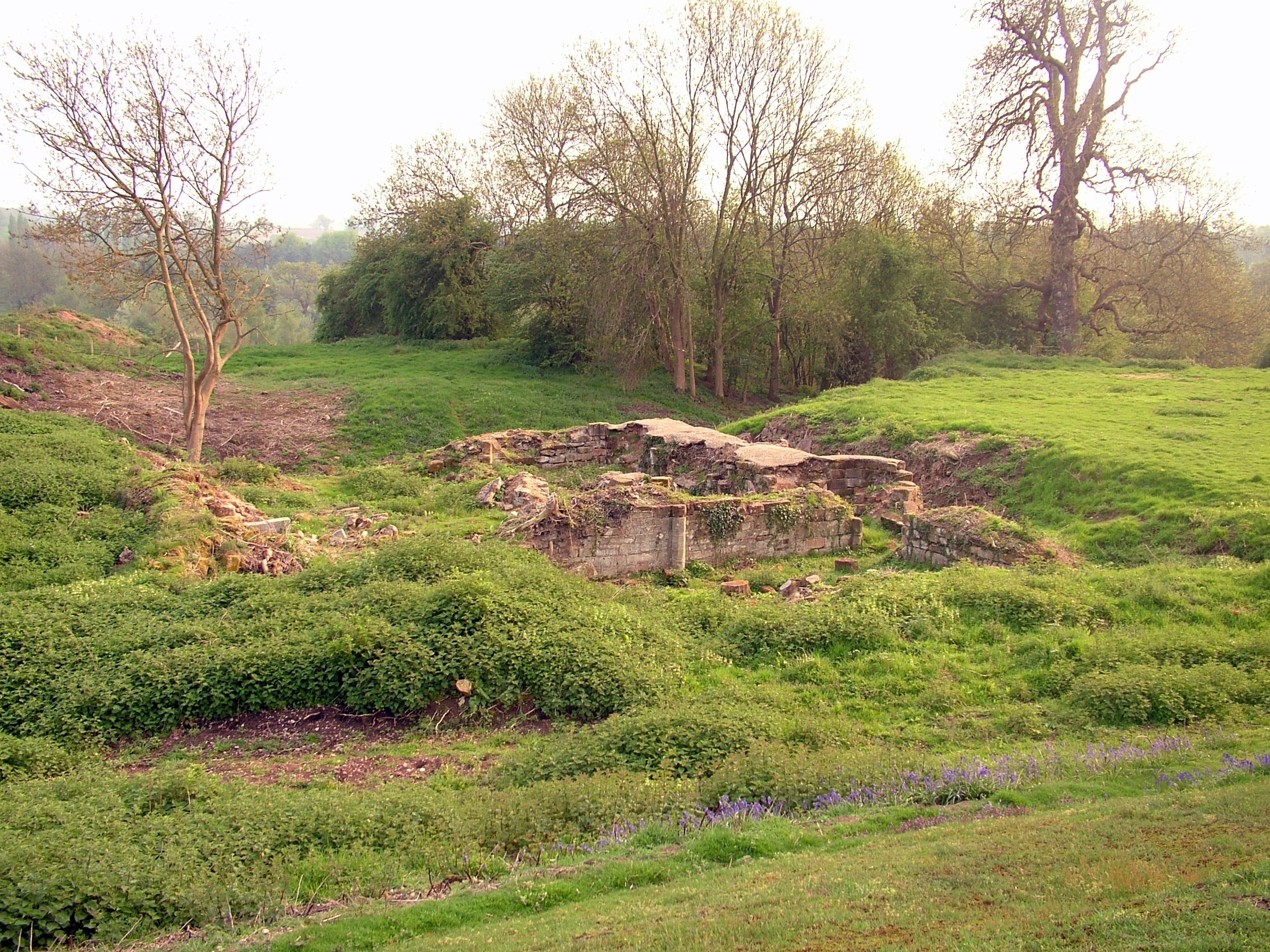
Baginton Castle

Baginton Castle, also known as Bagot's Castle, is a ruined castle in Baginton, Warwickshire, England. It was originally built in the 12th century by Geoffrey...
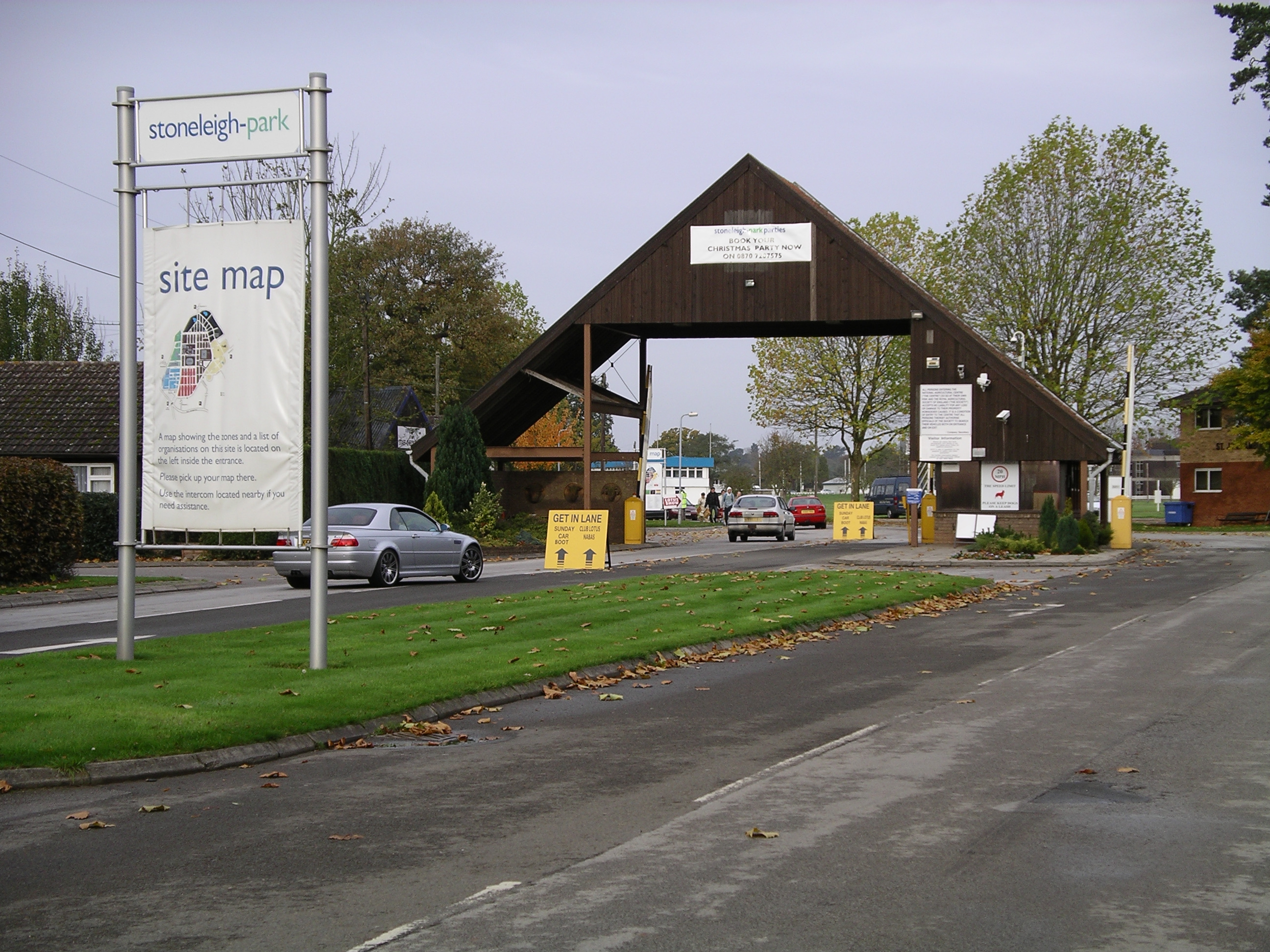
Stoneleigh Park

Stoneleigh Park, known between 1963 and 2013 as the National Agricultural Centre, is a business park located south-west of the village of Stoneleigh, Warwickshire...

Baginton

Baginton is a village and civil parish in the Warwick district of Warwickshire, England, and has a common border with the City of Coventry / West Midlands...

Rare Breeds Survival Trust

The Rare Breeds Survival Trust is a conservation charity whose purpose is to secure the continued existence and viability of the native farm animal genetic...

Nearby Amenities

Located within 500m of 52.35379,-1.504036
Give Way
Direction: forward
Lat/Long: 52.3520623/-1.5078352
Hole 2 Tee
Lat/Long: 52.3505328/-1.5036513
Hole 3 Tee
Lat/Long: 52.3513323/-1.5083183
Hole 5 Tee
Lat/Long: 52.3499692/-1.506945
Hole 2 Tee
Lat/Long: 52.3496451/-1.5026641
Hole 3 Tee
Lat/Long: 52.3503529/-1.503737
Hole 4 Tee
Lat/Long: 52.3498221/-1.5048635
Description: Tall white post with red hat
Marker: aerial
Utility: fuel
Lat/Long: 52.3539921/-1.5048389
Colour: white
Marker: post
Material: concrete
Utility: fuel
Lat/Long: 52.3539829/-1.5048588
Colour: white
Marker: post
Material: concrete
Utility: fuel
Lat/Long: 52.3540058/-1.5048274
The data included in this document is from www.openstreetmap.org. The data is made available under ODbL.

Have you been to Black Spinney?

Leave your review of Black Spinney below (or comments, questions and feedback).