Morrell's Wood

Wood, Forest in Yorkshire Harrogate

England

Morrell's Wood

Old milepost One of the two remaining mileposts along this 6 mile stretch of the B6265, this is how the photographer found it in March 2022.  When it was first recorded in 2006 it was already very sunken in this narrow verge.
Old milepost Credit: Hilary Jones

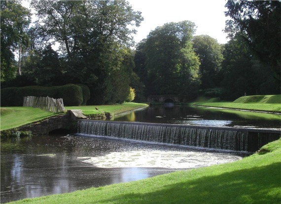
Morrell's Wood is a picturesque forest located in Yorkshire, England. Spanning over a vast area, this wood is renowned for its natural beauty and diverse range of flora and fauna. The wood is named after the Morrell family who have owned and maintained the land for generations.

As visitors enter Morrell's Wood, they are greeted by a canopy of ancient trees, creating a sense of tranquility and escape from the outside world. The wood features a network of well-maintained footpaths, allowing visitors to explore its enchanting surroundings at their own pace. Towering oak, beech, and ash trees dominate the landscape, providing a home to a myriad of woodland creatures such as deer, rabbits, and squirrels.

The forest floor is adorned with a colorful carpet of wildflowers during spring, including bluebells, primroses, and violets. This vibrant display attracts a plethora of butterflies and bees, adding to the wood's natural charm. Birdwatchers can also delight in spotting a variety of species, including woodpeckers, owls, and thrushes.

Morrell's Wood offers a haven for nature enthusiasts and photographers alike, providing countless opportunities to capture the beauty of its landscape. It is also a popular destination for family outings and picnics, with designated areas offering facilities for visitors to relax and enjoy the surroundings.

Overall, Morrell's Wood is a haven of natural splendor, inviting visitors to immerse themselves in the tranquility of its woodland setting and discover the wonders of Yorkshire's countryside.

If you have any feedback on the listing, please let us know in the comments section below.

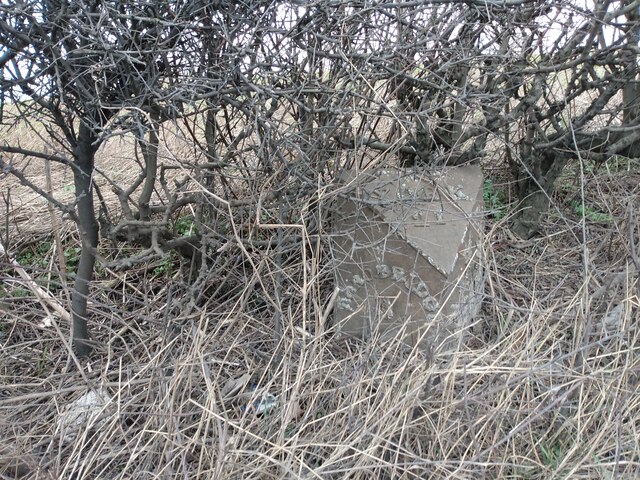
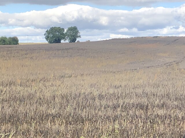
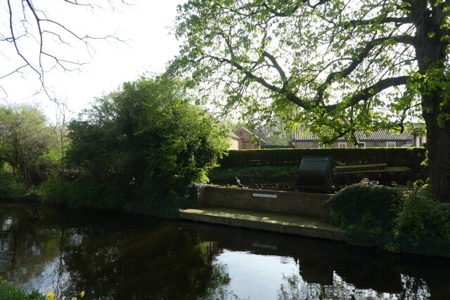
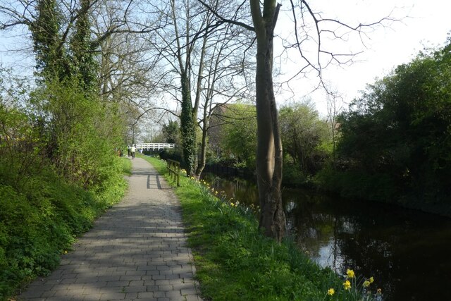
Morrell's Wood Images

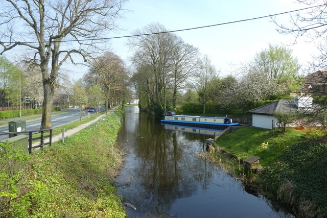
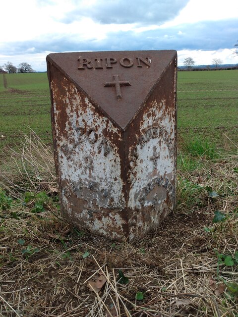
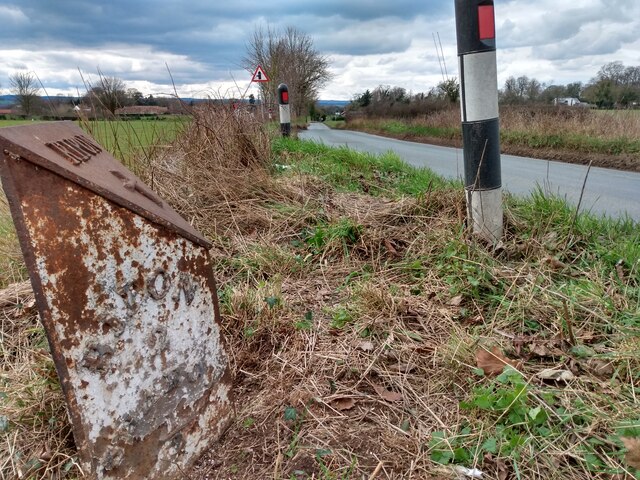
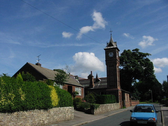
Images are sourced within 2km of 54.123562/-1.4831566 or Grid Reference SE3369. Thanks to Geograph Open Source API. All images are credited.

Old milepost One of the two remaining mileposts along this 6 mile stretch of the B6265, this is how the photographer found it in March 2022.  When it was first recorded in 2006 it was already very sunken in this narrow verge.
Old milepost
One of the two remaining mileposts along this 6 mile stretch of the B6265, this is how the photographer found it in March 2022. When it was first recorded in 2006 it was already very sunken in this narrow verge.
Old milepost After 25 minutes of clearing vegetation and soil by the photographer this milepost is now more visible.  As the verge at this point is only about a metre wide it may be difficult to completely refurbish it safely.  It is one of 14 known survivors of mileposts made by J Ingram, Ripon which are on the A61 from Ripon to Harrogate and the B6265 from Boroughbridge through Ripon to Pateley Bridge.
Old milepost
After 25 minutes of clearing vegetation and soil by the photographer this milepost is now more visible. As the verge at this point is only about a metre wide it may be difficult to completely refurbish it safely. It is one of 14 known survivors of mileposts made by J Ingram, Ripon which are on the A61 from Ripon to Harrogate and the B6265 from Boroughbridge through Ripon to Pateley Bridge.
Crop ready for harvesting Looks like some kind of vetch to me
Crop ready for harvesting
Looks like some kind of vetch to me
Canal and railway Looking across the Ripon Canal to a house with a narrow gauge railway in the garden.
Canal and railway
Looking across the Ripon Canal to a house with a narrow gauge railway in the garden.
Towpath along Ripon Canal Looking along part of the Ripon Canal Towpath to the east of the bypass.
Towpath along Ripon Canal
Looking along part of the Ripon Canal Towpath to the east of the bypass.
Ripon Canal from a footbridge Looking away from Ripon along the canal.
Ripon Canal from a footbridge
Looking away from Ripon along the canal.
Old milepost One of only two mileposts on the 5 miles of minor road between Ripon and Dishforth.  It is about 100m east of Strait Lane into Copt Hewick.   It is exposed to the weather from the north.  The legends which can just be made out are RIPON/2/SHAROW/½ on the left face and COPT-HEWICK/½/DISHFORTH/3 on the right.  Probably cast at the J Ingram foundry in Ripon.
Old milepost
One of only two mileposts on the 5 miles of minor road between Ripon and Dishforth. It is about 100m east of Strait Lane into Copt Hewick. It is exposed to the weather from the north. The legends which can just be made out are RIPON/2/SHAROW/½ on the left face and COPT-HEWICK/½/DISHFORTH/3 on the right. Probably cast at the J Ingram foundry in Ripon.
Old milepost The Ripon 2 milepost leaning back.   In March the dead grass trampled down but in summer lost in tall wayside vegetation.  In the distance on the righthand side of the road can just be made out the white road sign for Strait Lane into Copt Hewick
Old milepost
The Ripon 2 milepost leaning back. In March the dead grass trampled down but in summer lost in tall wayside vegetation. In the distance on the righthand side of the road can just be made out the white road sign for Strait Lane into Copt Hewick
Copt Hewick, Pumping Station The benchmark is cut into the north-east facing wall of the village Yorkshire Water pumping station.
Copt Hewick, Pumping Station
The benchmark is cut into the north-east facing wall of the village Yorkshire Water pumping station.
Copt Hewick, Pumping Station There is a benchmark cut into the north-east facing wall of the village Yorkshire Water pumping station.
Copt Hewick, Pumping Station
There is a benchmark cut into the north-east facing wall of the village Yorkshire Water pumping station.
Copt Hewick, Luncarr Lane According to the OS benchmark database there was a benchmark cut into a gatepost at this field entrance. The entrance has been widened with new gateposts. The cutmark has been destroyed.
Copt Hewick, Luncarr Lane
According to the OS benchmark database there was a benchmark cut into a gatepost at this field entrance. The entrance has been widened with new gateposts. The cutmark has been destroyed.
Upper Stepping Stones, Fisher Green A public footpath crosses these modern concrete stepping stones across the River Skell near Ripon.
There is another set of stepping stones, the Lower Stepping Stones, a short distance downstream.
Upper Stepping Stones, Fisher Green
A public footpath crosses these modern concrete stepping stones across the River Skell near Ripon. There is another set of stepping stones, the Lower Stepping Stones, a short distance downstream.
Bogs Lane Access lane for Bogs House off the B6265 east of Ripon.
Bogs Lane
Access lane for Bogs House off the B6265 east of Ripon.
B6265 towards Boroughbridge Despite only being classified as a 'B' road, this route carries plenty of traffic, being the main route south east from Ripon towards the A1(M).
B6265 towards Boroughbridge
Despite only being classified as a 'B' road, this route carries plenty of traffic, being the main route south east from Ripon towards the A1(M).
Reflection in the canal
Boundary wall of Ripon Racecourse According to the OS benchmark database there is a benchmark cut into the north-east face of the wall. Nothing was found.
Boundary wall of Ripon Racecourse
According to the OS benchmark database there is a benchmark cut into the north-east face of the wall. Nothing was found.
Ripon Canal Lockhouse According to the OS benchmark database there is a benchmark cut into the north-east face of the wall and very close to the corner angle. Nothing was found.
Ripon Canal Lockhouse
According to the OS benchmark database there is a benchmark cut into the north-east face of the wall and very close to the corner angle. Nothing was found.
Roundabout on Ripon Bypass According to the OS benchmark database there is a benchmark cut into a roadside wall at this location. The Ripon Bypass was built in 1992 and all walls were destroyed.
Roundabout on Ripon Bypass
According to the OS benchmark database there is a benchmark cut into a roadside wall at this location. The Ripon Bypass was built in 1992 and all walls were destroyed.
Show me another place!

Morrell's Wood is located at Grid Ref: SE3369 (Lat: 54.123562, Lng: -1.4831566)

Division: West Riding

Administrative County: North Yorkshire

District: Harrogate

Police Authority: North Yorkshire

What 3 Words

///organisms.cabs.reviews. Near Ripon, North Yorkshire

Related Wikis

Bridge Hewick

Bridge Hewick is a village and civil parish in the Harrogate district of North Yorkshire, England. The village is situated on the River Ure, and approximately...

Ripon Racecourse

Ripon Racecourse is a thoroughbred horse racing venue located in Ripon, North Yorkshire, England and is nicknamed the Garden Racecourse. == History... ==

Copt Hewick

Copt Hewick is a village and civil parish in the Harrogate district of North Yorkshire, England. The village lies about two miles east of Ripon. It had...

River Skell

The River Skell is a 12-mile-long (19 km) tributary of the River Ure in North Yorkshire, England. Its source is in boggy ground on moorland 2 miles (3...

Littlethorpe, North Yorkshire

Littlethorpe is a village and civil parish in the Harrogate district, in the English county of North Yorkshire, near the city of Ripon. Littlethorpe has...

Sharow

Sharow is a village and civil parish in the Harrogate district of North Yorkshire, England. It is about 1 mile (1.6 km) north-east of Ripon. The name...

Ripon Canal

The Ripon Canal is located in North Yorkshire, England. It was built by the canal engineer William Jessop to link the city of Ripon with the navigable...

Abbeys Amble

The Abbeys Amble is a long-distance path in North Yorkshire, England. It is a circular walk of 104 miles (167 km), based on Ripon. It links three abbeys...

Nearby Amenities

Located within 500m of 54.123562,-1.4831566
Created By: Merkaartor 0.13
Lat/Long: 54.1255425/-1.4864628
Created By: Merkaartor 0.13
Lat/Long: 54.1249799/-1.4858545
Created By: Merkaartor 0.13
Lat/Long: 54.1246431/-1.4856387
Created By: Merkaartor 0.13
Lat/Long: 54.1239581/-1.4853378
Created By: Merkaartor 0.13
Lat/Long: 54.1225497/-1.4824468
Created By: Merkaartor 0.13
Lat/Long: 54.1224656/-1.4811126
Created By: Merkaartor 0.13
Lat/Long: 54.1222813/-1.4800196
Created By: Merkaartor 0.13
Lat/Long: 54.1214318/-1.4765493
The data included in this document is from www.openstreetmap.org. The data is made available under ODbL.

Have you been to Morrell's Wood?

Leave your review of Morrell's Wood below (or comments, questions and feedback).