Bank Close Wood

Wood, Forest in Yorkshire Harrogate

England

Bank Close Wood

Old milepost One of the two remaining mileposts along this 6 mile stretch of the B6265, this is how the photographer found it in March 2022.  When it was first recorded in 2006 it was already very sunken in this narrow verge.
Old milepost Credit: Hilary Jones

Bank Close Wood is a picturesque woodland located in Yorkshire, England. Spanning over a vast area, it is a significant natural asset to the region. The wood is situated within close proximity to the village of Yorkshire, providing easy access for locals and tourists alike.

The wood is characterized by its diverse range of tree species, including oak, beech, ash, and birch. These majestic trees create a dense canopy, providing a cool and sheltered environment for various flora and fauna. The forest floor is adorned with a carpet of vibrant wildflowers, creating a stunning display during the spring and summer months.

Bank Close Wood is home to a wide array of wildlife. Visitors may encounter numerous bird species, such as woodpeckers, owls, and thrushes, as well as small mammals like squirrels, rabbits, and hedgehogs. The woodland also supports a rich insect population, contributing to the overall biodiversity of the area.

The wood offers a range of recreational activities for nature enthusiasts. There are well-maintained walking trails that wind through the forest, providing an opportunity to explore its beauty. These trails are suitable for all levels of fitness and offer stunning views of the surrounding landscape. Additionally, the wood is a popular spot for birdwatching and photography, attracting enthusiasts from far and wide.

Bank Close Wood is not only a haven for wildlife and nature lovers but also plays a vital role in maintaining the ecological balance of the region. It serves as a valuable habitat for numerous plant and animal species, contributing to the overall health of the local ecosystem.

If you have any feedback on the listing, please let us know in the comments section below.

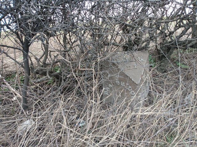
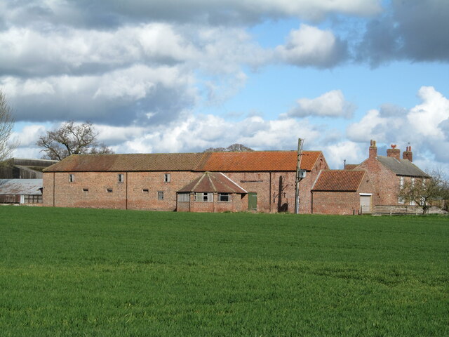
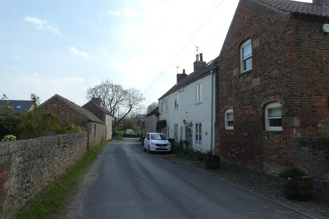
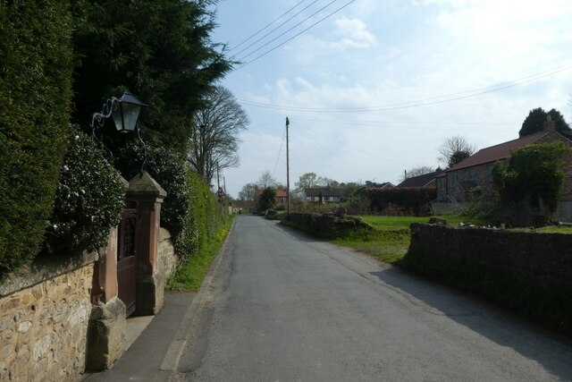
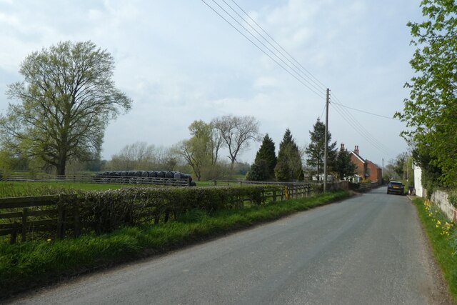
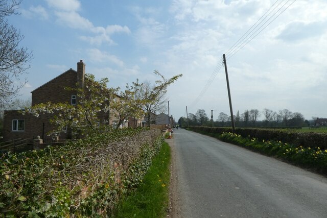
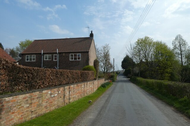
Bank Close Wood Images

Images are sourced within 2km of 54.115845/-1.4860368 or Grid Reference SE3369. Thanks to Geograph Open Source API. All images are credited.

Old milepost One of the two remaining mileposts along this 6 mile stretch of the B6265, this is how the photographer found it in March 2022.  When it was first recorded in 2006 it was already very sunken in this narrow verge.
Old milepost
One of the two remaining mileposts along this 6 mile stretch of the B6265, this is how the photographer found it in March 2022. When it was first recorded in 2006 it was already very sunken in this narrow verge.
Old milepost After 25 minutes of clearing vegetation and soil by the photographer this milepost is now more visible.  As the verge at this point is only about a metre wide it may be difficult to completely refurbish it safely.  It is one of 14 known survivors of mileposts made by J Ingram, Ripon which are on the A61 from Ripon to Harrogate and the B6265 from Boroughbridge through Ripon to Pateley Bridge.
Old milepost
After 25 minutes of clearing vegetation and soil by the photographer this milepost is now more visible. As the verge at this point is only about a metre wide it may be difficult to completely refurbish it safely. It is one of 14 known survivors of mileposts made by J Ingram, Ripon which are on the A61 from Ripon to Harrogate and the B6265 from Boroughbridge through Ripon to Pateley Bridge.
Bogs Lane Access lane for Bogs House off the B6265 east of Ripon.
Bogs Lane
Access lane for Bogs House off the B6265 east of Ripon.
B6265 towards Boroughbridge Despite only being classified as a 'B' road, this route carries plenty of traffic, being the main route south east from Ripon towards the A1(M).
B6265 towards Boroughbridge
Despite only being classified as a 'B' road, this route carries plenty of traffic, being the main route south east from Ripon towards the A1(M).
Reflection in the canal
Boundary wall of Ripon Racecourse According to the OS benchmark database there is a benchmark cut into the north-east face of the wall. Nothing was found.
Boundary wall of Ripon Racecourse
According to the OS benchmark database there is a benchmark cut into the north-east face of the wall. Nothing was found.
Ripon Canal Lockhouse According to the OS benchmark database there is a benchmark cut into the north-east face of the wall and very close to the corner angle. Nothing was found.
Ripon Canal Lockhouse
According to the OS benchmark database there is a benchmark cut into the north-east face of the wall and very close to the corner angle. Nothing was found.
Newby Hall
Newby Hall
Pond and statue, Newby Hall
Old wheel house at Little Givendale I'd photographed the farm on a previous occasion, but had never noticed the most interesting feature which is this wheelhouse attached to the side of a long brick barn. At one time a horse would be employed to walk round in circles within the building, thus turning a series of gear wheels attached to a shaft running into the barn to power threshing equipment. The 25" map of 1890 clearly shows the wheelhouse.
Old wheel house at Little Givendale
I'd photographed the farm on a previous occasion, but had never noticed the most interesting feature which is this wheelhouse attached to the side of a long brick barn. At one time a horse would be employed to walk round in circles within the building, thus turning a series of gear wheels attached to a shaft running into the barn to power threshing equipment. The 25" map of 1890 clearly shows the wheelhouse.
Farm buildings near Ripon Looking across farmland from the road to Littlethorpe.
Farm buildings near Ripon
Looking across farmland from the road to Littlethorpe.
National speed limit signs on Littlethorpe Road Looking towards Littlethorpe on the road from Ripon.
National speed limit signs on Littlethorpe Road
Looking towards Littlethorpe on the road from Ripon.
Littlethorpe Road Looking along Littlethorpe Road as it enters the village.
Littlethorpe Road
Looking along Littlethorpe Road as it enters the village.
Passing St. Michael's Church Looking through part of the village in Littlethorpe.
Passing St. Michael's Church
Looking through part of the village in Littlethorpe.
Along Pottery Lane Looking towards Littlethorpe and Ripon.
Along Pottery Lane
Looking towards Littlethorpe and Ripon.
Houses along Pottery Lane Looking along a road to the south of Littlethorpe.
Houses along Pottery Lane
Looking along a road to the south of Littlethorpe.
House south of Littlethorpe Looking along Pottery Lane.
House south of Littlethorpe
Looking along Pottery Lane.
Corner on Pottery Lane Looking along Pottery Lane towards Littlethorpe and Ripon.
Corner on Pottery Lane
Looking along Pottery Lane towards Littlethorpe and Ripon.
Show me another place!

Bank Close Wood is located at Grid Ref: SE3369 (Lat: 54.115845, Lng: -1.4860368)

Division: West Riding

Administrative County: North Yorkshire

District: Harrogate

Police Authority: North Yorkshire

What 3 Words

///same.tortoises.darkest. Near Ripon, North Yorkshire

Related Wikis

Ripon Racecourse

Ripon Racecourse is a thoroughbred horse racing venue located in Ripon, North Yorkshire, England and is nicknamed the Garden Racecourse. == History... ==

Littlethorpe, North Yorkshire

Littlethorpe is a village and civil parish in the Harrogate district, in the English county of North Yorkshire, near the city of Ripon. Littlethorpe has...

Bridge Hewick

Bridge Hewick is a village and civil parish in the Harrogate district of North Yorkshire, England. The village is situated on the River Ure, and approximately...
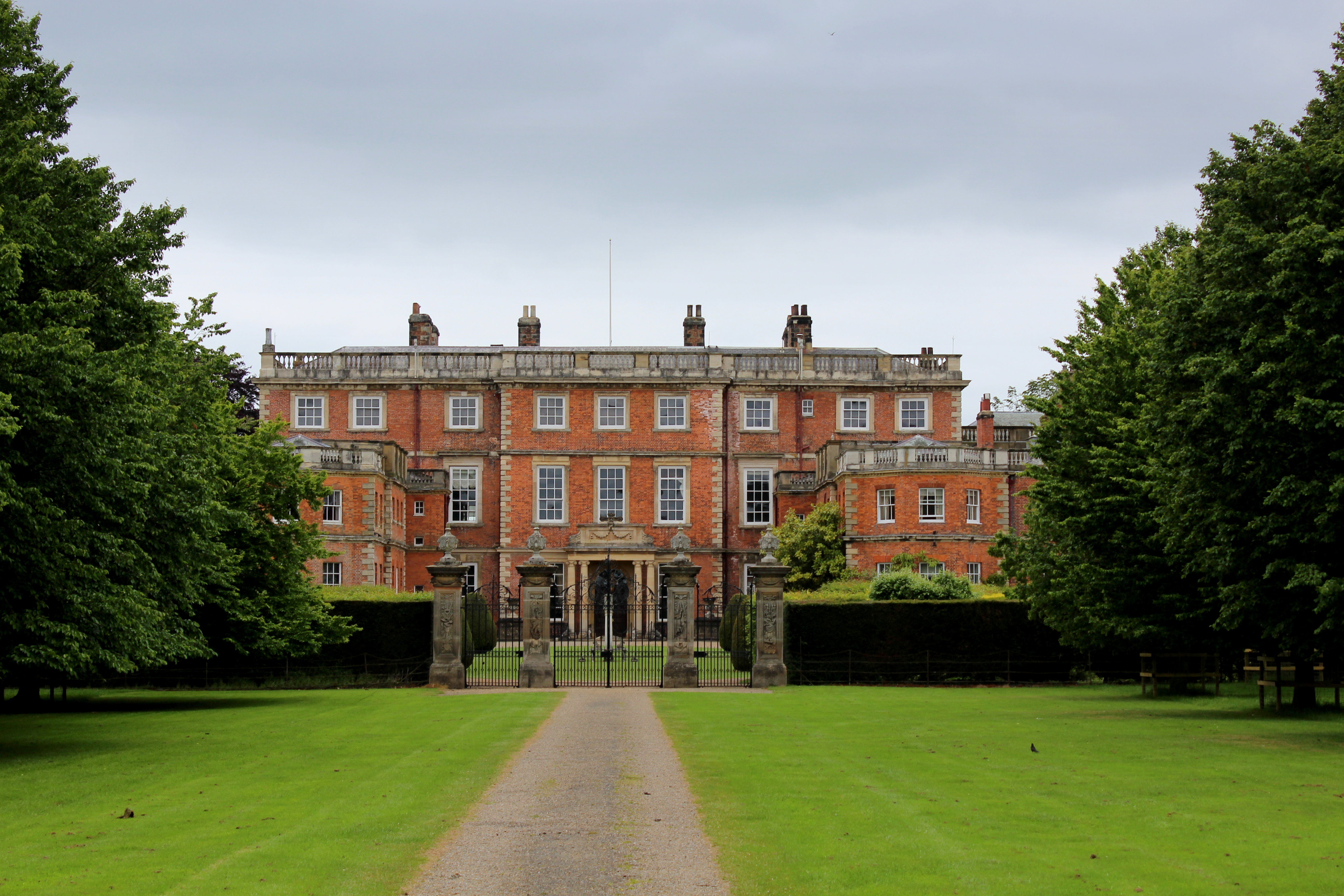
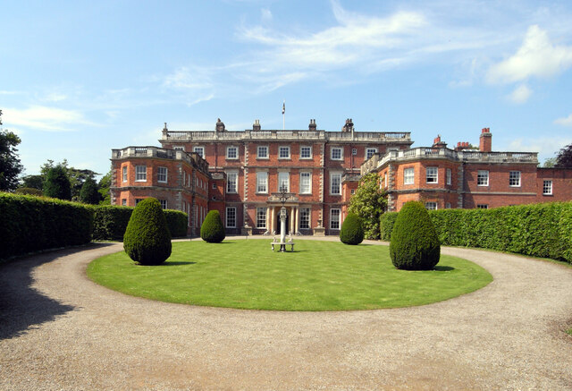
Newby Hall

Newby Hall is a country house beside the River Ure in the parish of Skelton-on-Ure in North Yorkshire, England. It is 3 miles (4.8 km) south-east of Ripon...

Copt Hewick

Copt Hewick is a village and civil parish in the Harrogate district of North Yorkshire, England. The village lies about two miles east of Ripon. It had...

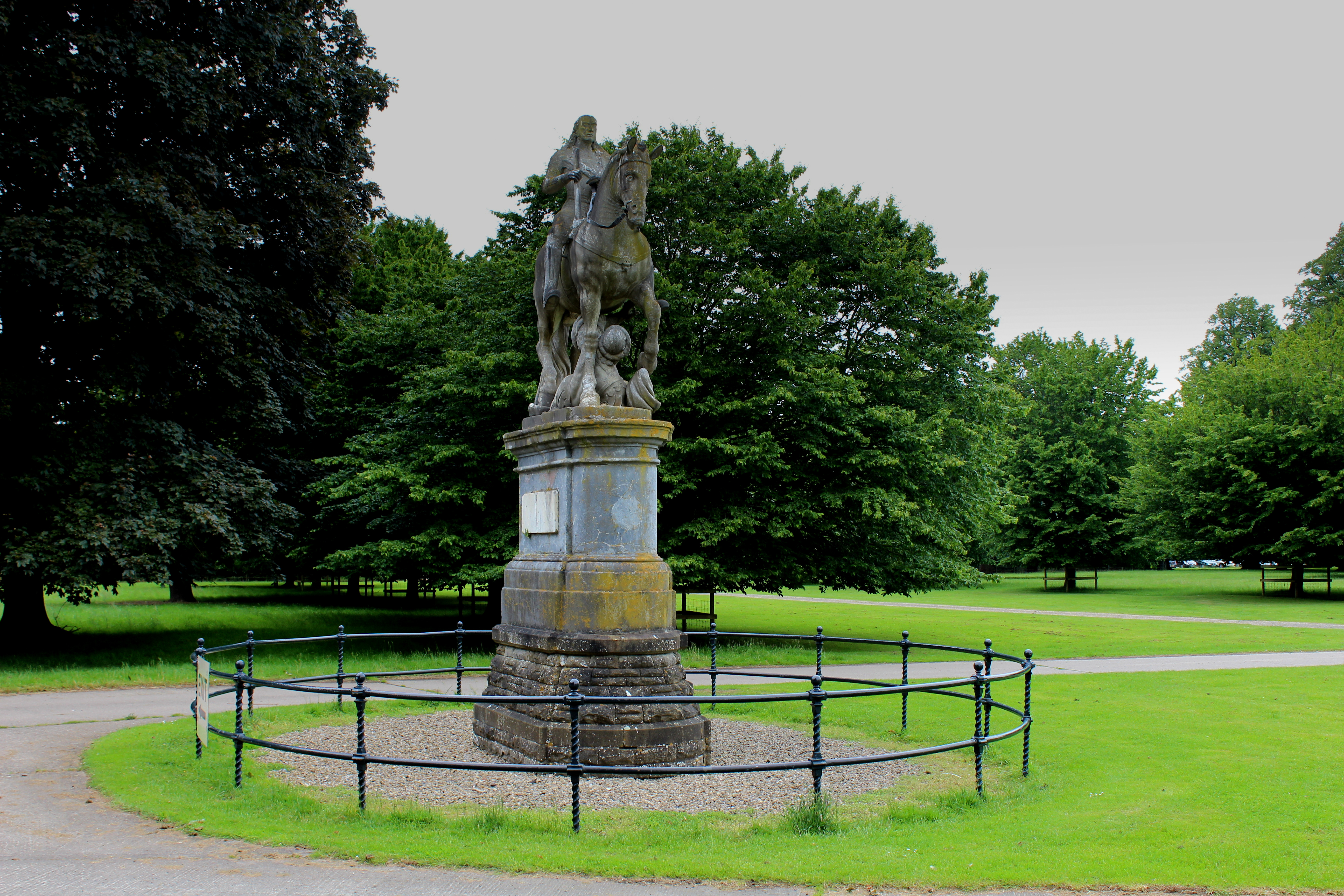
Equestrian statue of Charles II trampling Cromwell

An equestrian statue of Charles II trampling Cromwell stands near Newby Hall in North Yorkshire, England. It was previously sited at Gautby Hall in Lincolnshire...
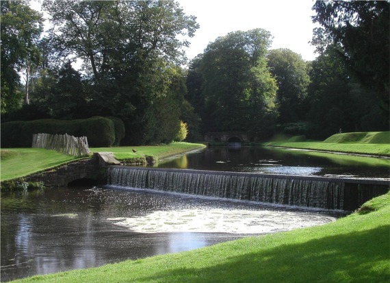
River Skell

The River Skell is a 12-mile-long (19 km) tributary of the River Ure in North Yorkshire, England. Its source is in boggy ground on moorland 2 miles (3...
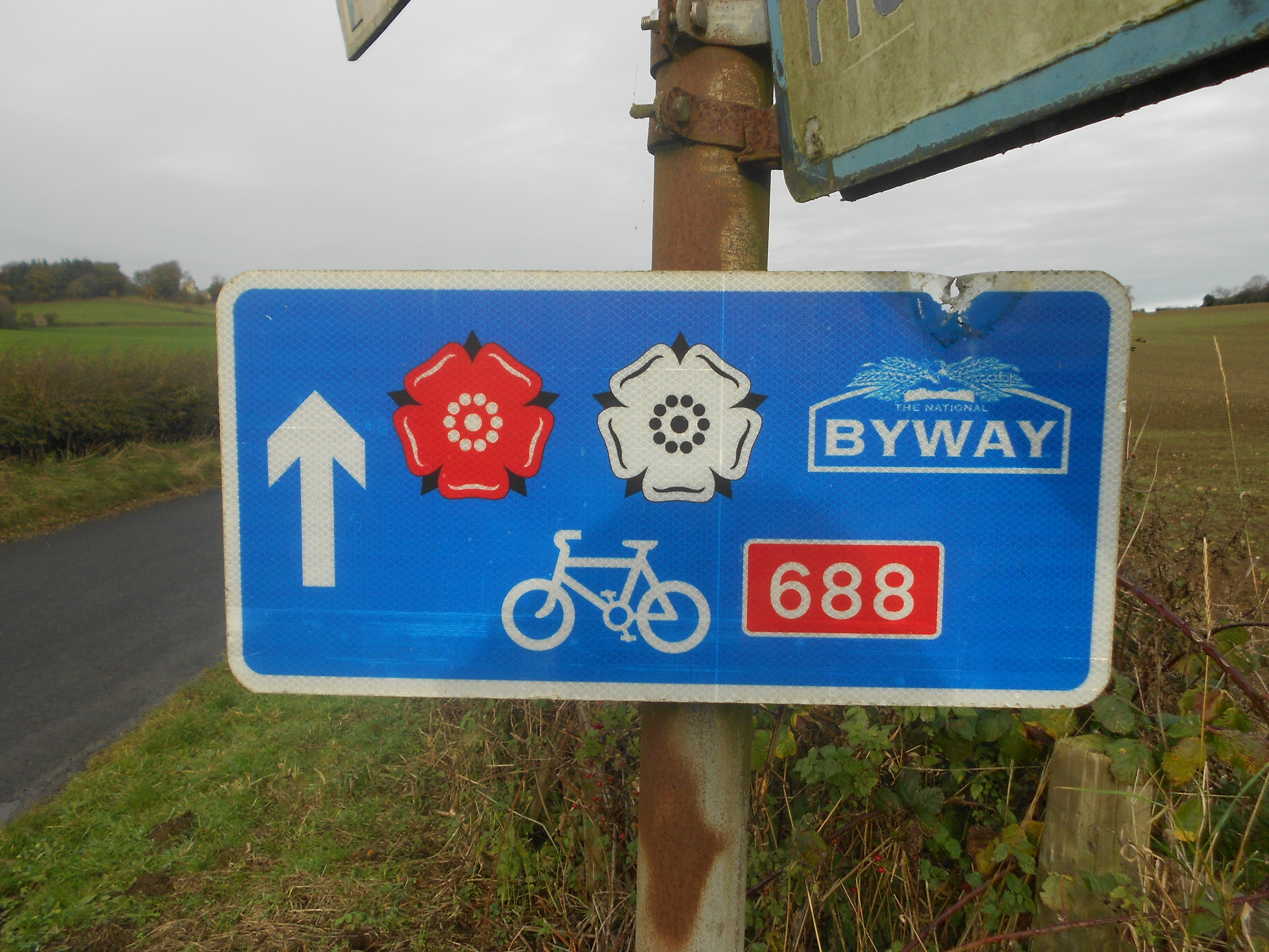
Way of the Roses

The Way of the Roses is the newest of Great Britain's coast-to-coast long-distance cycle routes and is based on minor roads, disused railway lines and...

Nearby Amenities

Located within 500m of 54.115845,-1.4860368
Givendale
Is In: UK,England,Yorkshire,North Yorkshire
Place: hamlet
Lat/Long: 54.1171112/-1.4858739
Leisure: slipway
Lat/Long: 54.1118657/-1.488745
The data included in this document is from www.openstreetmap.org. The data is made available under ODbL.

Have you been to Bank Close Wood?

Leave your review of Bank Close Wood below (or comments, questions and feedback).