Pike's Hill
Hill, Mountain in Hampshire New Forest
England
Pike's Hill
Pike's Hill is a prominent hill located in the county of Hampshire, England. Situated near the village of Broughton, it forms part of the picturesque landscape of the South Downs National Park. With an elevation of approximately 250 meters (820 feet), Pike's Hill offers breathtaking panoramic views of the surrounding countryside.
The hill is characterized by its gentle slopes and lush greenery, making it a popular destination for outdoor enthusiasts and nature lovers. Its location within the South Downs provides ample opportunities for activities such as hiking, walking, and birdwatching. The area is home to a diverse range of flora and fauna, including rare species of plants and animals.
Pike's Hill is also steeped in history, with evidence of human habitation dating back thousands of years. Archaeological remains, including ancient burial mounds and earthworks, have been discovered in the vicinity, adding to its historical significance.
Access to Pike's Hill is facilitated by a network of well-maintained footpaths and trails, which offer different routes and levels of difficulty to suit all abilities. The hill is a popular spot for picnics and family outings, providing a peaceful and tranquil setting for visitors to enjoy.
In summary, Pike's Hill in Hampshire is a stunning natural landmark, offering stunning vistas, rich biodiversity, and a glimpse into the region's past. It is a haven for outdoor enthusiasts and a place where visitors can immerse themselves in the beauty of the English countryside.
If you have any feedback on the listing, please let us know in the comments section below.
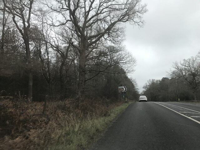
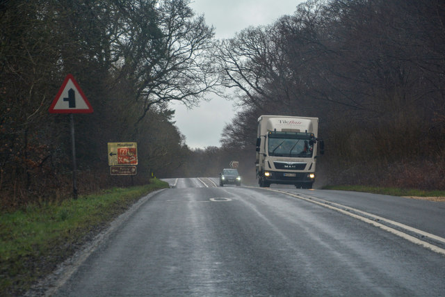
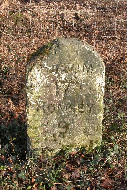
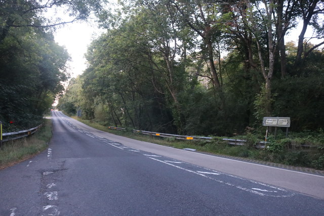
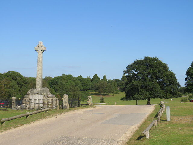
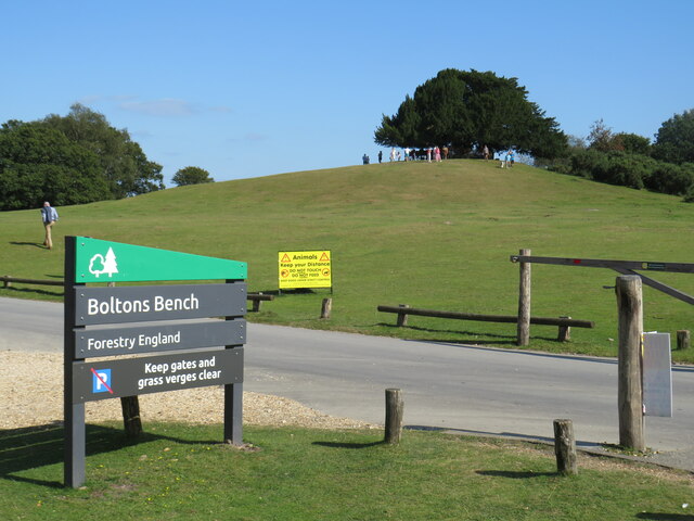
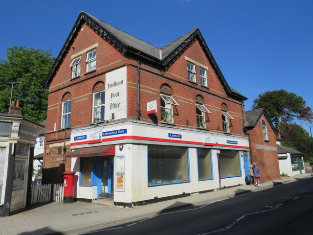
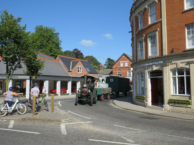
Pike's Hill Images
Images are sourced within 2km of 50.876159/-1.5775099 or Grid Reference SU2908. Thanks to Geograph Open Source API. All images are credited.

Pike's Hill is located at Grid Ref: SU2908 (Lat: 50.876159, Lng: -1.5775099)
Administrative County: Hampshire
District: New Forest
Police Authority: Hampshire
What 3 Words
///bleach.umbrellas.crash. Near Lyndhurst, Hampshire
Nearby Locations
Related Wikis
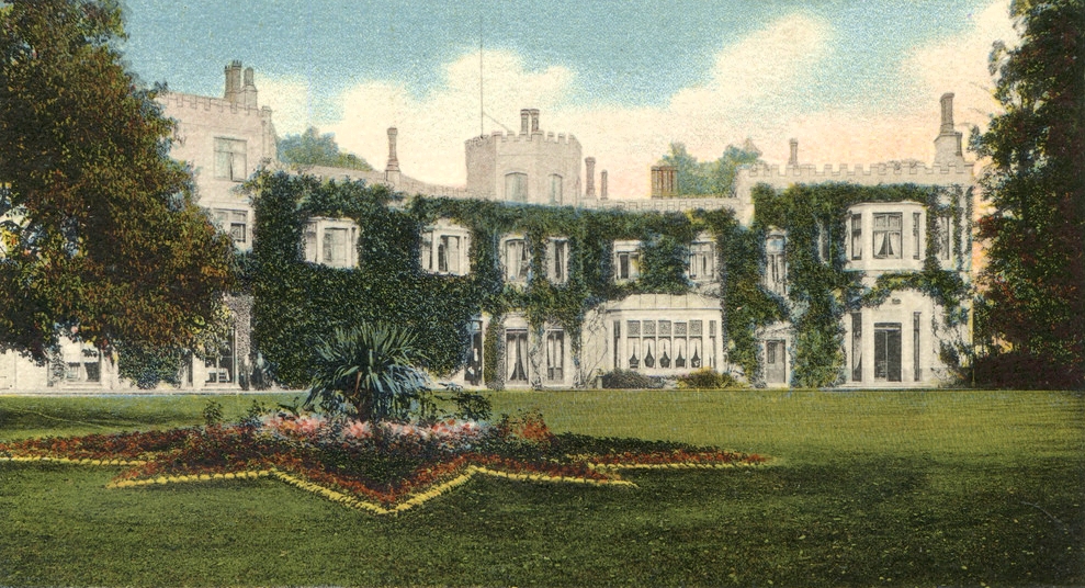
Glasshayes
Glasshayes House is a historic country house in Lyndhurst, in The New Forest, Hampshire. Used in the 20th century as the Grand Hotel, then the Lyndhurst...

Lyndhurst, Hampshire
Lyndhurst is a large village and civil parish situated in the New Forest National Park in Hampshire, England, about nine miles (14 km) south-west of Southampton...

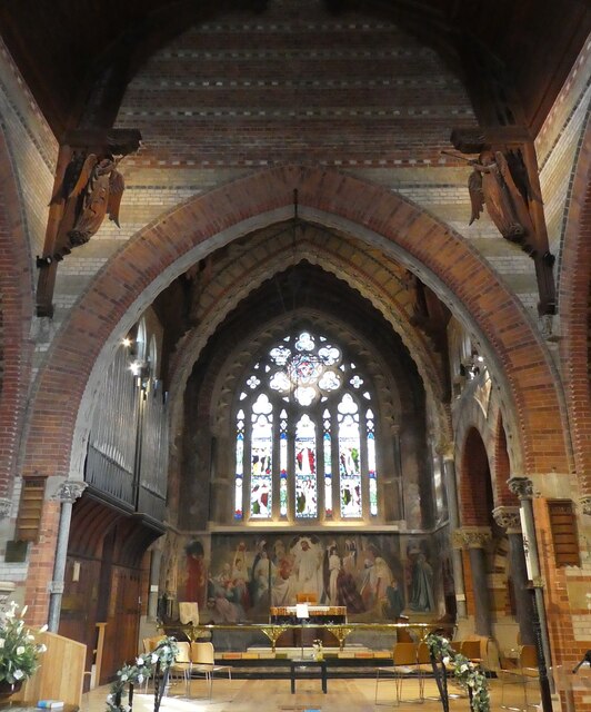
Christ Church, Emery Down
Christ Church is a Church of England church in Emery Down, Hampshire, England. It was designed by William Butterfield and constructed in 1863–64. The church...

Emery Down
Emery Down is a small village in the New Forest National Park in Hampshire, England. Its nearest town is Lyndhurst, which lies approximately 1.4 miles...

Bank, Hampshire
Bank is a village in the English county of Hampshire. The settlement is within the civil parish of Lyndhurst in the New Forest, and is located approximately...

Allum Green
Allum Green is a hamlet southwest of Lyndhurst, Hampshire, England. During the night of 5/6 September 1940 it was the scene of a Luftwaffe bombing raid...

Minstead Lodge
Minstead Lodge in Hampshire is a building of historical significance built in about 1830 and is Grade II listed on the English Heritage Register. Today...

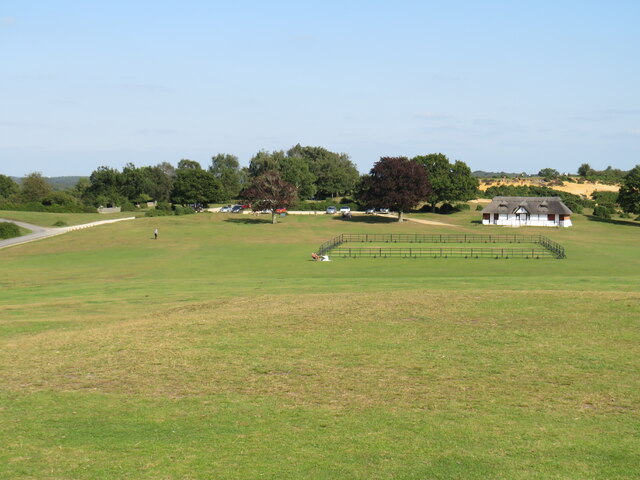
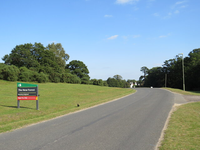
New Forest
The New Forest is one of the largest remaining tracts of unenclosed pasture land, heathland and forest in Southern England, covering southwest Hampshire...
Nearby Amenities
Located within 500m of 50.876159,-1.5775099Have you been to Pike's Hill?
Leave your review of Pike's Hill below (or comments, questions and feedback).