Northerwood Inclosure
Wood, Forest in Hampshire New Forest
England
Northerwood Inclosure
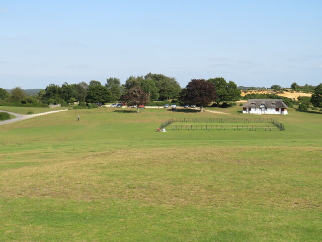
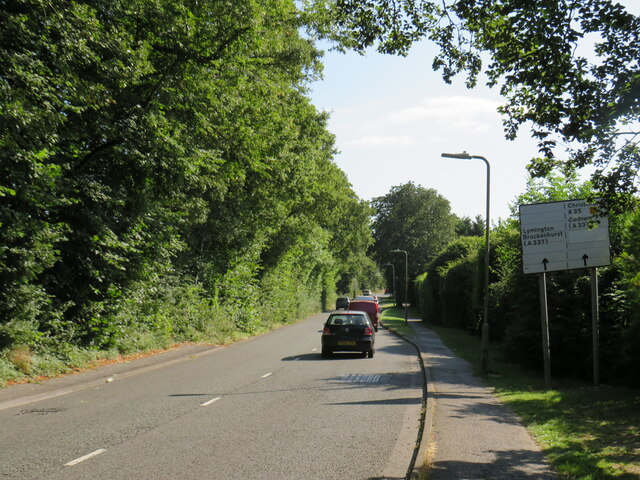
Northerwood Inclosure is a picturesque woodland located in the county of Hampshire, England. Spanning over a vast area, it is considered one of the most beautiful and well-preserved woodlands in the region. The inclosure is nestled within the New Forest National Park, which is renowned for its diverse flora and fauna.
The woodland is characterized by its dense canopy of towering trees, predominantly consisting of oak, beech, and birch. These majestic trees provide a habitat for a wide variety of wildlife, including deer, foxes, badgers, and numerous bird species. It is a haven for nature enthusiasts and birdwatchers who can enjoy the tranquility and observe the fascinating wildlife in their natural habitat.
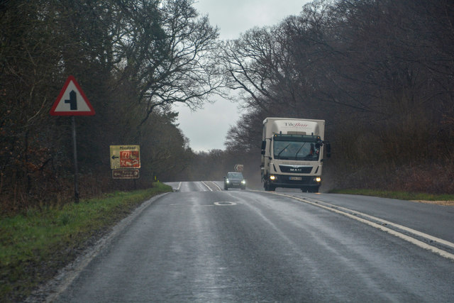
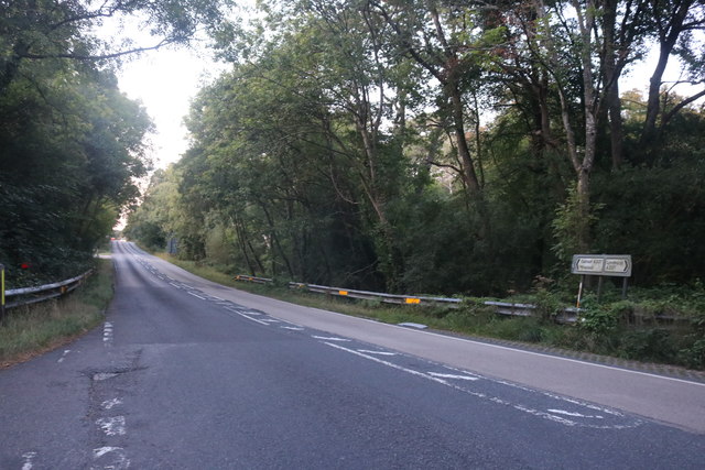
Northerwood Inclosure offers a network of well-maintained footpaths and trails, allowing visitors to explore the woodland at their own pace. The paths wind through the ancient trees, offering glimpses of sun-dappled clearings and secluded ponds. The inclosure is particularly popular among hikers and cyclists, who can enjoy the stunning scenery while engaging in their favorite outdoor activities.
In addition to its natural beauty, Northerwood Inclosure also has historical significance. It is believed to have been an important hunting ground during medieval times and served as a source of timber for shipbuilding in the past. Today, remnants of old charcoal hearths can still be found, providing a glimpse into its industrial heritage.
Overall, Northerwood Inclosure is a cherished gem in Hampshire, offering visitors a chance to escape the bustle of modern life and immerse themselves in the tranquility of nature.
If you have any feedback on the listing, please let us know in the comments section below.
Northerwood Inclosure Images
Images are sourced within 2km of 50.874806/-1.588807 or Grid Reference SU2908. Thanks to Geograph Open Source API. All images are credited.

Northerwood Inclosure is located at Grid Ref: SU2908 (Lat: 50.874806, Lng: -1.588807)
Administrative County: Hampshire
District: New Forest
Police Authority: Hampshire
What 3 Words
///atomic.marshes.unite. Near Lyndhurst, Hampshire
Nearby Locations
Related Wikis

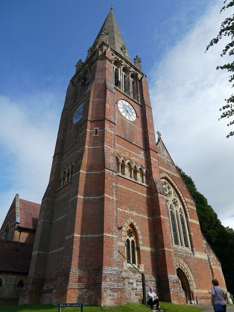
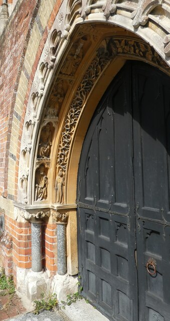
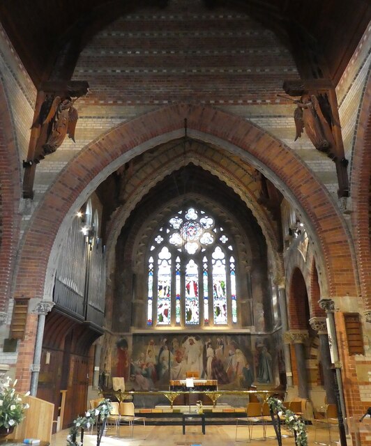
Christ Church, Emery Down
Christ Church is a Church of England church in Emery Down, Hampshire, England. It was designed by William Butterfield and constructed in 1863–64. The church...

Emery Down
Emery Down is a small village in the New Forest National Park in Hampshire, England. Its nearest town is Lyndhurst, which lies approximately 1.4 miles...

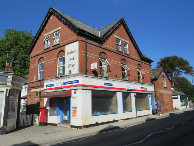
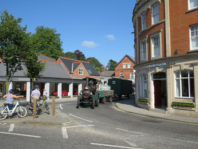
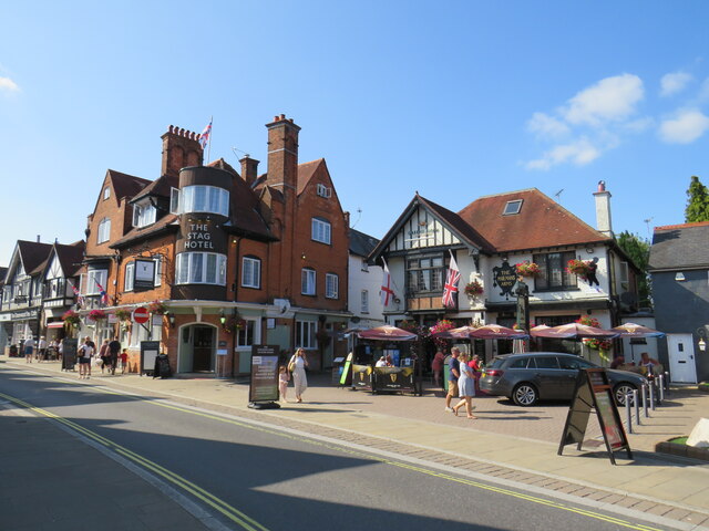
Lyndhurst, Hampshire
Lyndhurst is a large village and civil parish situated in the New Forest National Park in Hampshire, England, about nine miles (14 km) south-west of Southampton...
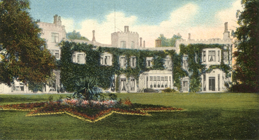
Glasshayes
Glasshayes House is a historic country house in Lyndhurst, in The New Forest, Hampshire. Used in the 20th century as the Grand Hotel, then the Lyndhurst...

Bank, Hampshire
Bank is a village in the English county of Hampshire. The settlement is within the civil parish of Lyndhurst in the New Forest, and is located approximately...

Allum Green
Allum Green is a hamlet southwest of Lyndhurst, Hampshire, England. During the night of 5/6 September 1940 it was the scene of a Luftwaffe bombing raid...

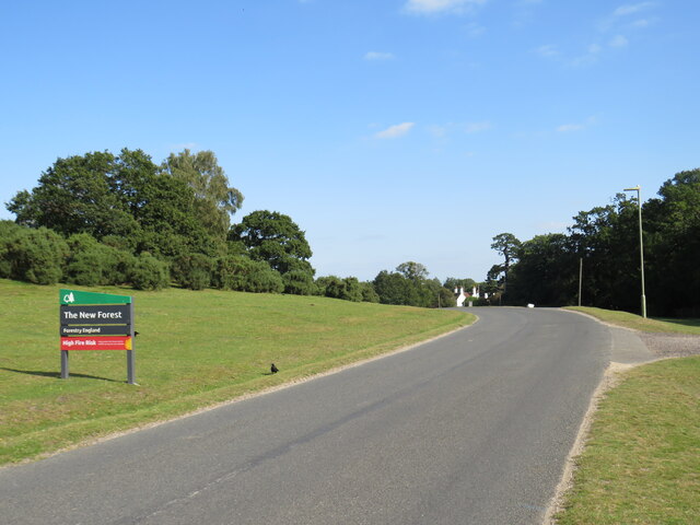
New Forest
The New Forest is one of the largest remaining tracts of unenclosed pasture land, heathland and forest in Southern England, covering southwest Hampshire...

Portuguese Fireplace
The Portuguese Fireplace is a war memorial in the New Forest National Park, near the village of Lyndhurst, Hampshire, England. It is located on the road...
Nearby Amenities
Located within 500m of 50.874806,-1.588807Have you been to Northerwood Inclosure?
Leave your review of Northerwood Inclosure below (or comments, questions and feedback).