Gallows Hill
Hill, Mountain in Warwickshire Warwick
England
Gallows Hill
Gallows Hill is a prominent hill located in Warwickshire, England. Situated near the town of Warwick, it is a well-known landmark within the region. Despite its name, the hill does not possess any historical associations with gallows or executions. The origin of the name remains uncertain, with some speculating it may have been derived from an old English word or local folklore.
The hill itself is relatively low, measuring approximately 115 meters in height. It is characterized by gentle slopes and is covered in lush greenery, making it an ideal spot for leisurely walks and outdoor activities. Due to its elevated position, Gallows Hill offers breathtaking panoramic views of the surrounding countryside and nearby towns, including Warwick and Leamington Spa.
The area surrounding Gallows Hill is predominantly rural, with a mix of farmlands and residential properties. It attracts nature enthusiasts and hikers who appreciate the peaceful and picturesque scenery. The hill is also home to a variety of plant and animal species, adding to its ecological value.
Access to Gallows Hill is convenient, with several footpaths and trails leading to its summit. Visitors can explore the hill at their own pace, taking in the beauty of the landscape and enjoying the tranquility it offers. While it may not have any significant historical or cultural significance, Gallows Hill remains a cherished natural feature in Warwickshire, drawing locals and tourists alike to its captivating vistas and peaceful ambiance.
If you have any feedback on the listing, please let us know in the comments section below.
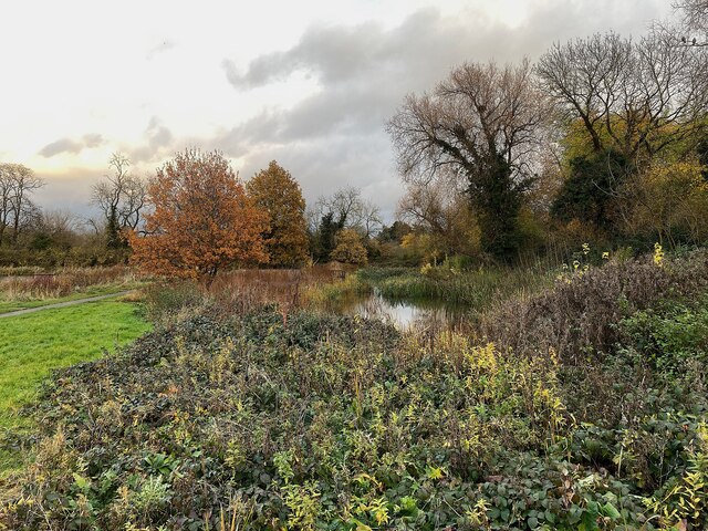
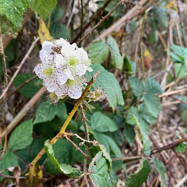
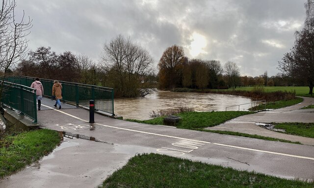
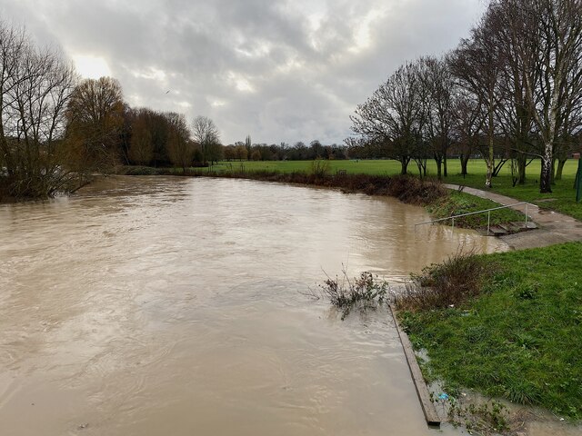
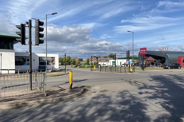
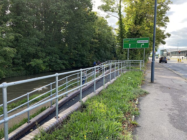
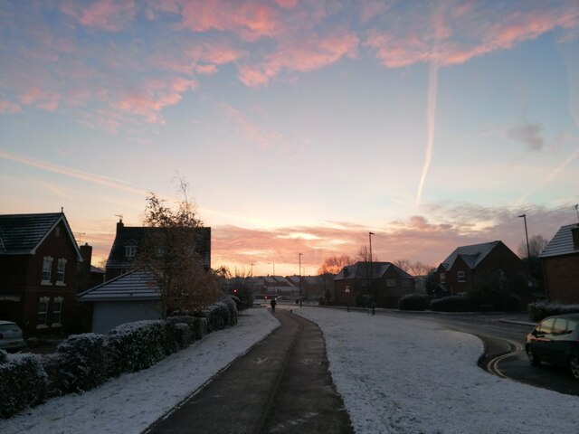
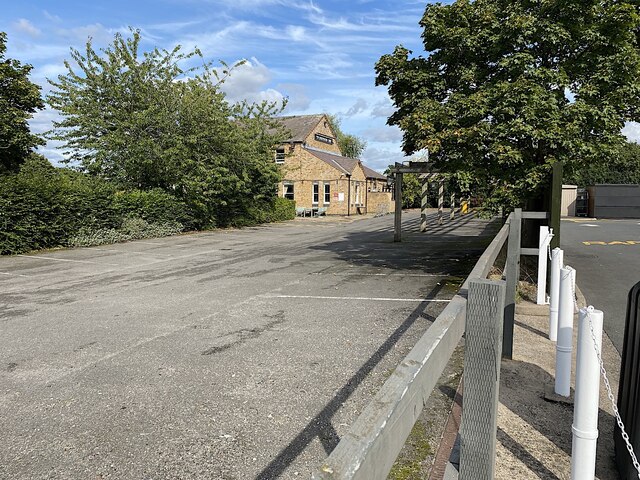
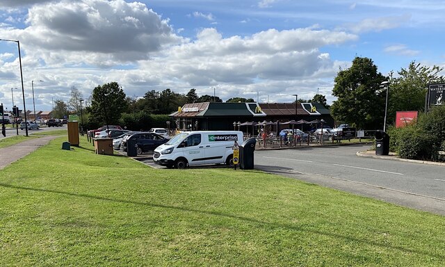
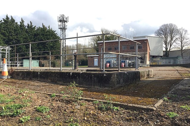
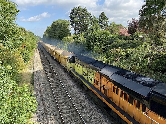
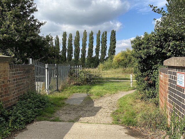
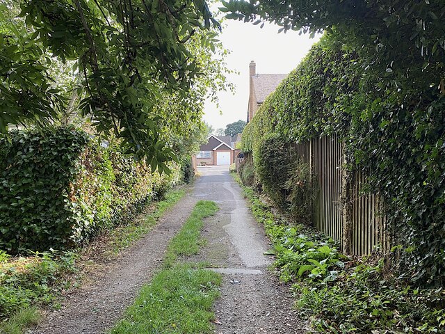
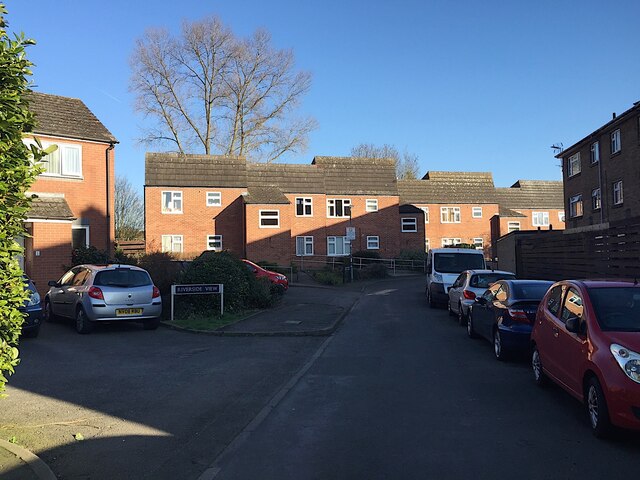
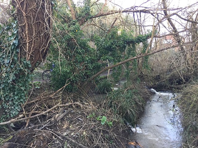
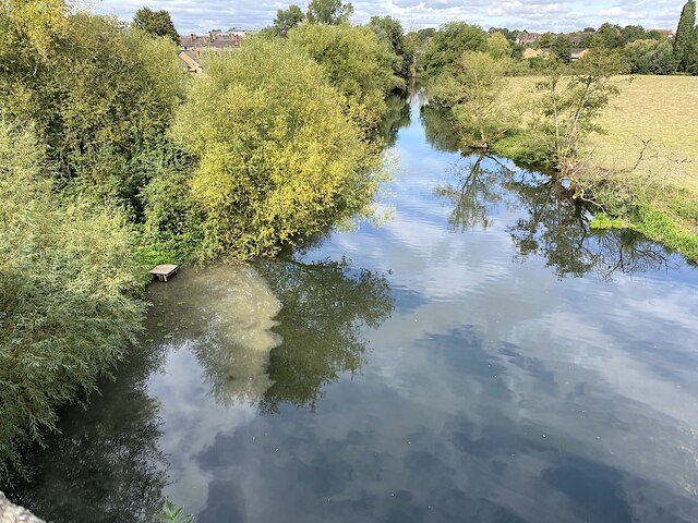
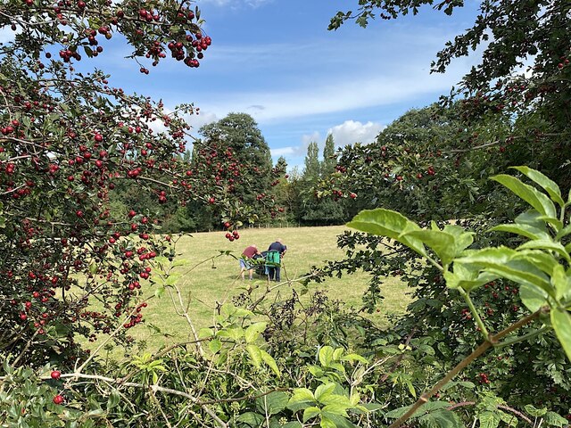
Gallows Hill Images
Images are sourced within 2km of 52.270961/-1.5628471 or Grid Reference SP2963. Thanks to Geograph Open Source API. All images are credited.

Gallows Hill is located at Grid Ref: SP2963 (Lat: 52.270961, Lng: -1.5628471)
Administrative County: Warwickshire
District: Warwick
Police Authority: Warwickshire
What 3 Words
///deal.range.cared. Near Warwick, Warwickshire
Nearby Locations
Related Wikis

Myton School
Myton School is a coeducational secondary school and sixth form. Most students live locally, although the school attracts students from outside the priority...

Warwick School
Warwick School is a public school (British independent boarding and day school) in Warwick, England. Known as King's School, Warwick until around 1900...
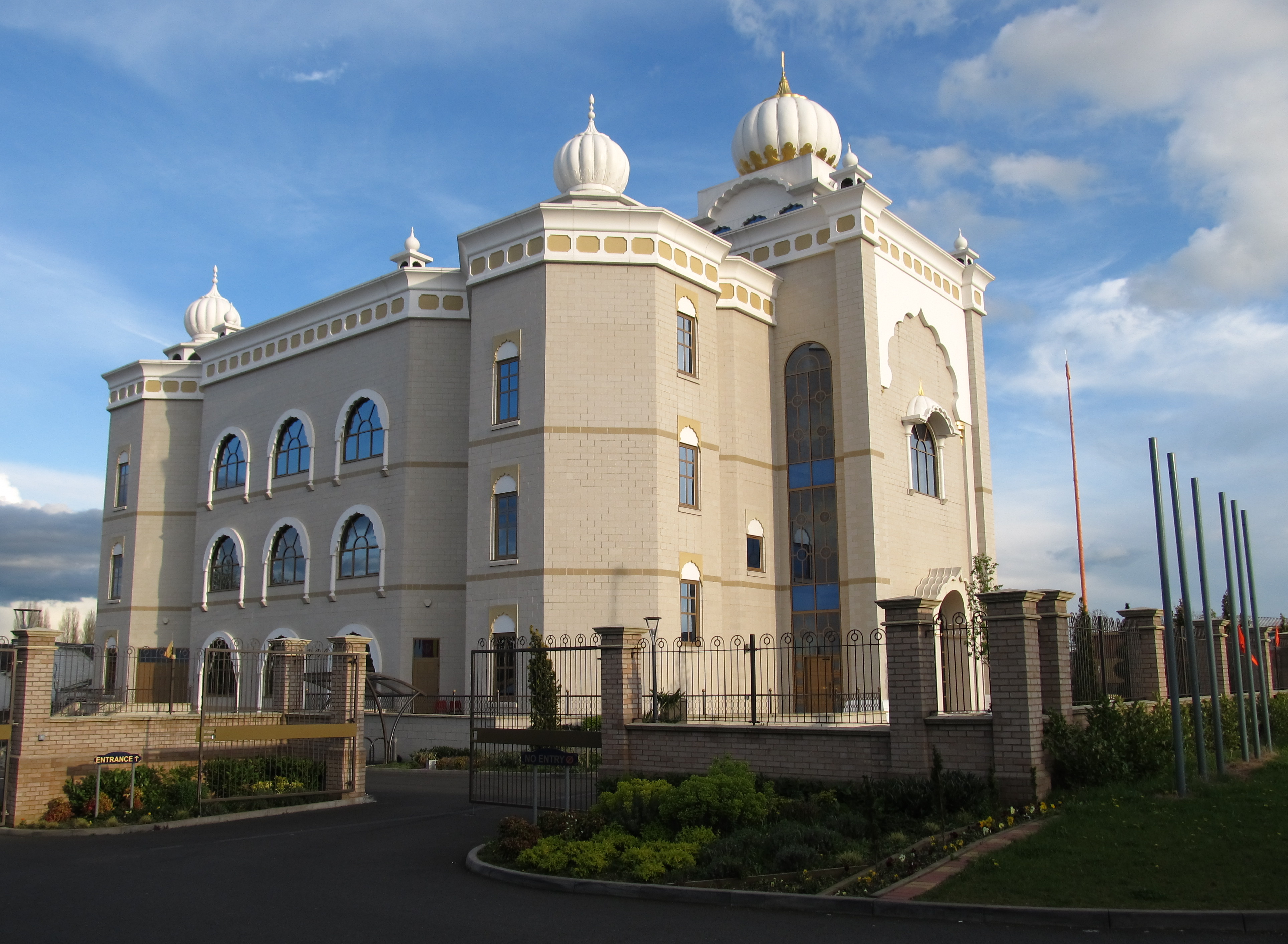
Gurdwara Sahib Leamington and Warwick
The Gurdwara Sahib Leamington and Warwick is a Sikh gurdwara located on Tachbrook Drive, Warwick, England. It primarily serves the community around Leamington...

Castle Bridge
Castle Bridge is a grade II* listed road bridge in Warwick, Warwickshire, England, which carries the A425 road over the River Avon. In 1788, the Earl of...
Nearby Amenities
Located within 500m of 52.270961,-1.5628471Have you been to Gallows Hill?
Leave your review of Gallows Hill below (or comments, questions and feedback).