Little Fox Hill
Hill, Mountain in Hampshire New Forest
England
Little Fox Hill
Little Fox Hill is a small hill located in the county of Hampshire, England. Situated in the South Downs National Park, it is a part of the larger Fox Hill range. Despite its name, Little Fox Hill is not particularly large in size, standing at an elevation of approximately 200 meters (656 feet).
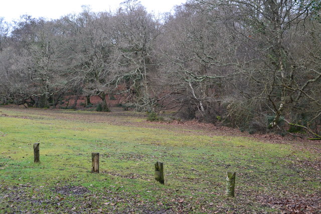
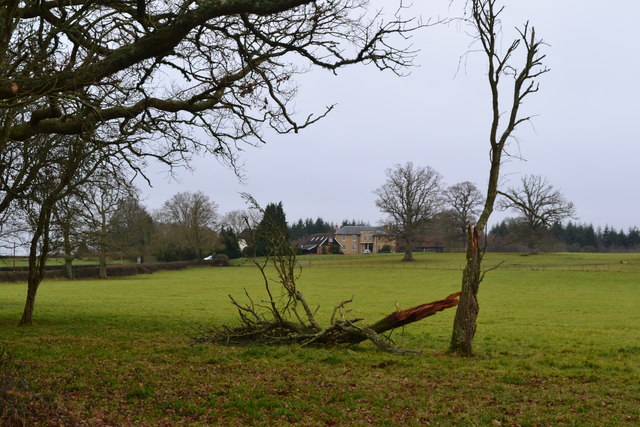
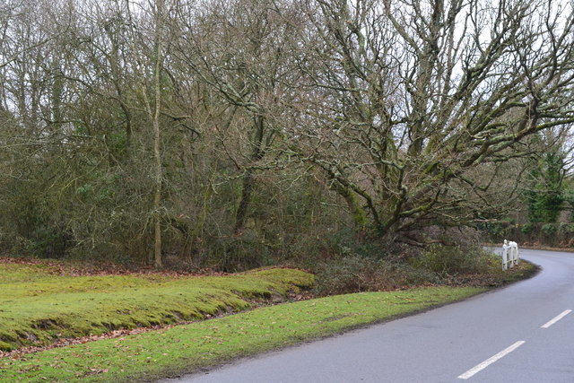
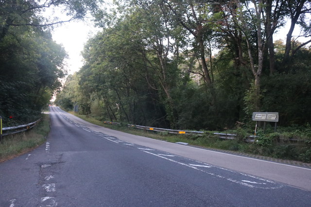
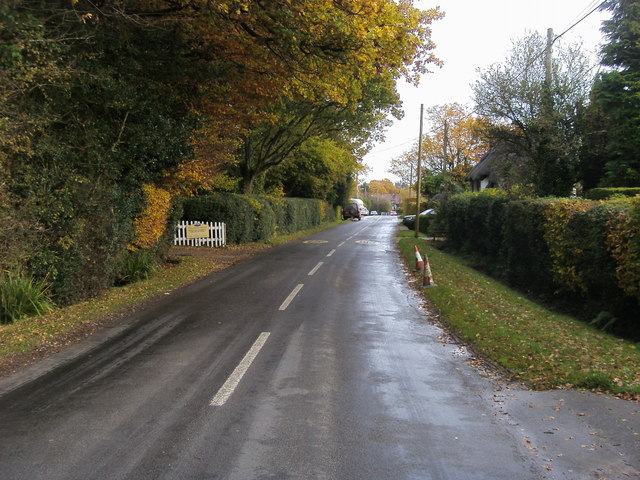
The hill is characterized by its gentle slopes, covered in lush green grass and scattered with wildflowers during the warmer months. It offers panoramic views of the surrounding countryside, including the quaint villages and farmlands below. On a clear day, visitors can even catch a glimpse of the English Channel in the distance.
Little Fox Hill is a popular destination for hikers, nature enthusiasts, and photographers who are drawn to its natural beauty and tranquility. There are several well-marked footpaths that wind their way up the hill, providing easy access for visitors of all abilities. The hill is also home to a diverse range of flora and fauna, with numerous species of birds, butterflies, and wild animals inhabiting the area.
In addition to its natural attractions, Little Fox Hill also holds historical significance. It is believed to have been an ancient burial site, with archaeological evidence suggesting human presence in the area dating back thousands of years. The hill's rich history adds to its allure, making it an interesting destination for those interested in exploring Hampshire's past.
Overall, Little Fox Hill offers a peaceful escape from the hustle and bustle of everyday life, providing stunning views, beautiful nature, and a glimpse into the region's history.
If you have any feedback on the listing, please let us know in the comments section below.
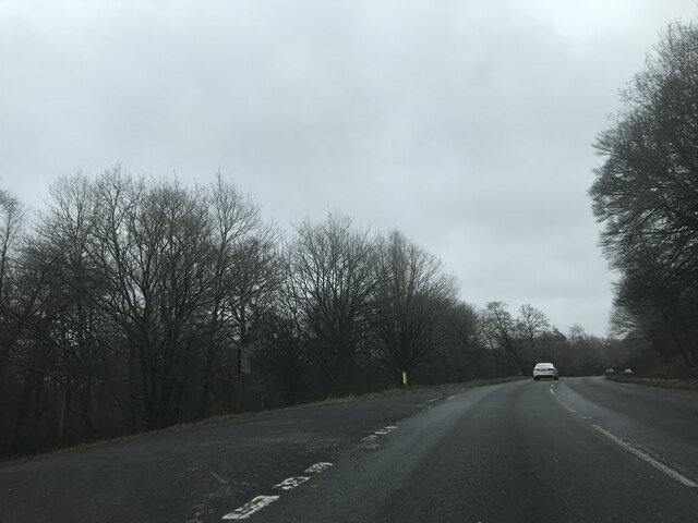
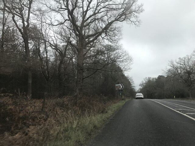
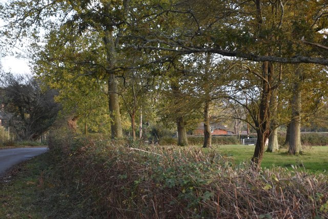
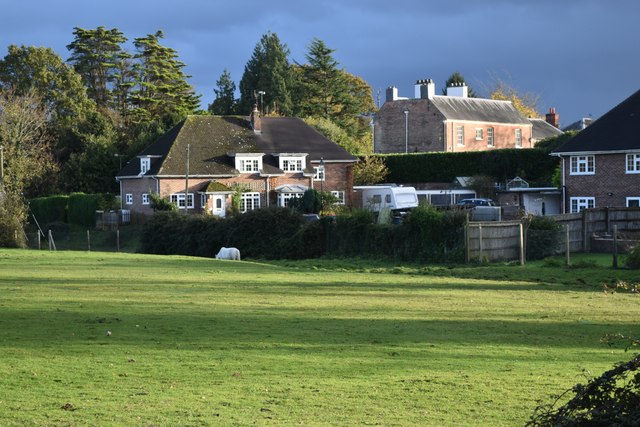
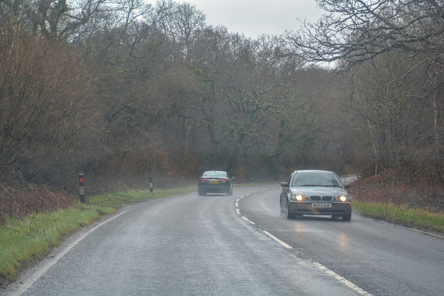
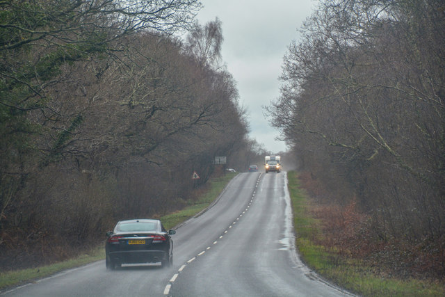
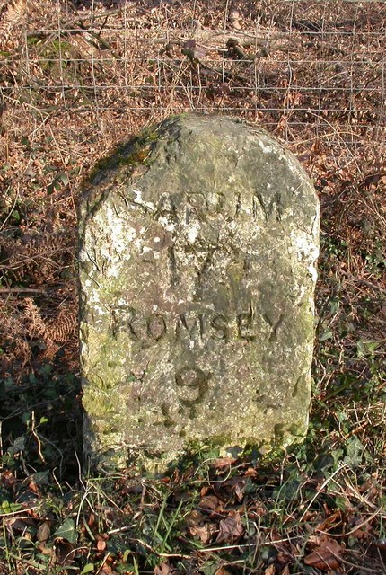
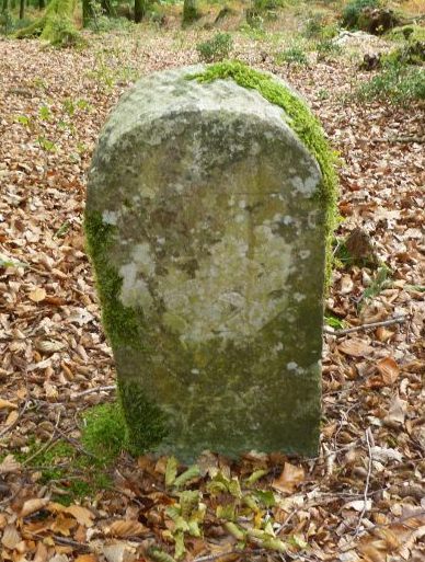
Little Fox Hill Images
Images are sourced within 2km of 50.888886/-1.575632 or Grid Reference SU2910. Thanks to Geograph Open Source API. All images are credited.


Little Fox Hill is located at Grid Ref: SU2910 (Lat: 50.888886, Lng: -1.575632)
Administrative County: Hampshire
District: New Forest
Police Authority: Hampshire
What 3 Words
///extreme.decades.grad. Near Lyndhurst, Hampshire
Nearby Locations
Related Wikis

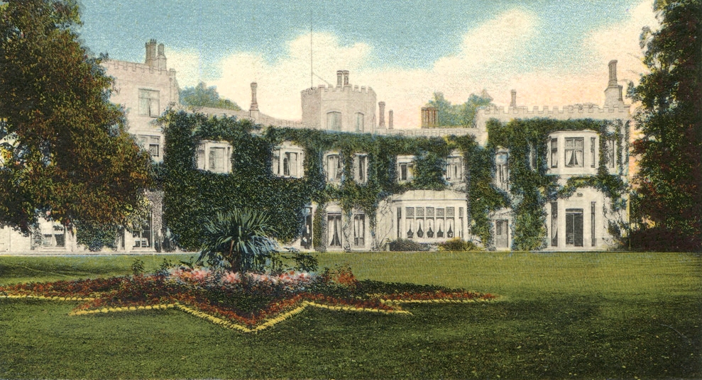
Minstead Lodge
Minstead Lodge in Hampshire is a building of historical significance built in about 1830 and is Grade II listed on the English Heritage Register. Today...
Glasshayes
Glasshayes House is a historic country house in Lyndhurst, in The New Forest, Hampshire. Used in the 20th century as the Grand Hotel, then the Lyndhurst...

Emery Down
Emery Down is a small village in the New Forest National Park in Hampshire, England. Its nearest town is Lyndhurst, which lies approximately 1.4 miles...

Christ Church, Emery Down
Christ Church is a Church of England church in Emery Down, Hampshire, England. It was designed by William Butterfield and constructed in 1863–64. The church...

Lyndhurst, Hampshire
Lyndhurst is a large village and civil parish situated in the New Forest National Park in Hampshire, England, about nine miles (14 km) south-west of Southampton...

Cadnam
Cadnam is a village situated in Hampshire, England, within the boundaries of the New Forest National Park. The village has existed since the medieval period...

Minstead
Minstead is a small village and civil parish in the New Forest, Hampshire, about 2 miles (3.2 km) north of Lyndhurst. There is a shop and a pub, the Trusty...
Woodlands, Hampshire
Woodlands is a village in the New Forest National Park of Hampshire, England. The village lies 6 miles (9.7 km) west from Southampton and 2+3⁄4 miles...
Nearby Amenities
Located within 500m of 50.888886,-1.575632Have you been to Little Fox Hill?
Leave your review of Little Fox Hill below (or comments, questions and feedback).