Bushey Hill

Hill, Mountain in Warwickshire Warwick

England

Bushey Hill

Banbury Road at the junction of The Belt
Banbury Road at the junction of The Belt Credit: David Howard

Bushey Hill is a prominent geographical feature located in Warwickshire, England. Situated near the village of Wilmcote, it is classified as a hill rather than a mountain, reaching an elevation of approximately 200 meters above sea level. It is surrounded by picturesque rolling countryside, offering stunning views of the Warwickshire landscape.

The hill itself is predominantly covered in lush greenery, adorned with a variety of trees and vegetation. It is a popular destination for nature enthusiasts and hikers, who can explore its scenic trails and pathways. One of the most notable aspects of Bushey Hill is its rich biodiversity, with an array of wildlife species thriving in its natural habitat.

Historically, Bushey Hill has played a significant role in the local community. It has served as a landmark and gathering place for various events and celebrations. In addition, it holds archaeological importance, with evidence of human occupation dating back thousands of years. The hill has been a subject of interest and exploration for researchers, uncovering artifacts and remnants from different time periods.

Access to Bushey Hill is relatively easy, with several footpaths leading to its summit. Visitors can enjoy a leisurely walk or a more challenging hike, depending on their preferences and fitness levels. The hill offers a peaceful retreat from the hustle and bustle of daily life, providing an opportunity to reconnect with nature and appreciate the beauty of Warwickshire's countryside.

Overall, Bushey Hill is a natural gem in Warwickshire, offering both recreational and historical value. Its stunning landscapes, diverse wildlife, and cultural significance make it a must-visit destination for locals and tourists alike.

If you have any feedback on the listing, please let us know in the comments section below.
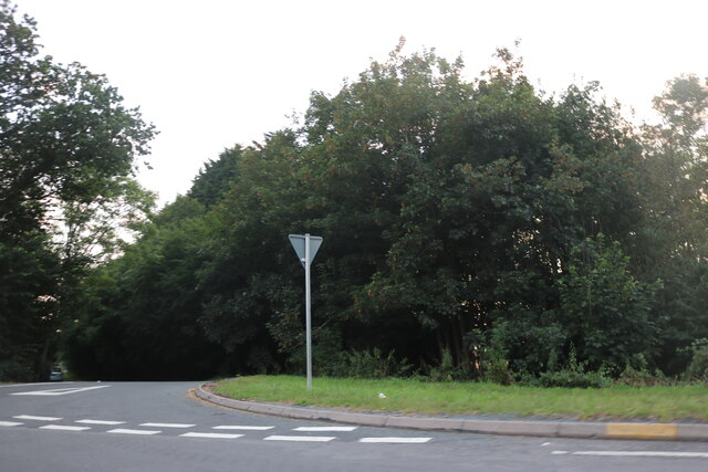
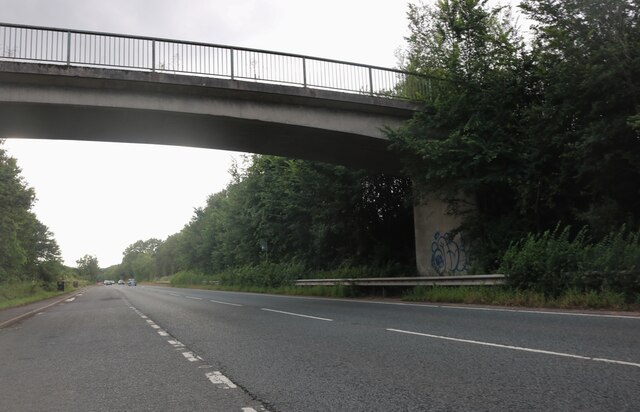
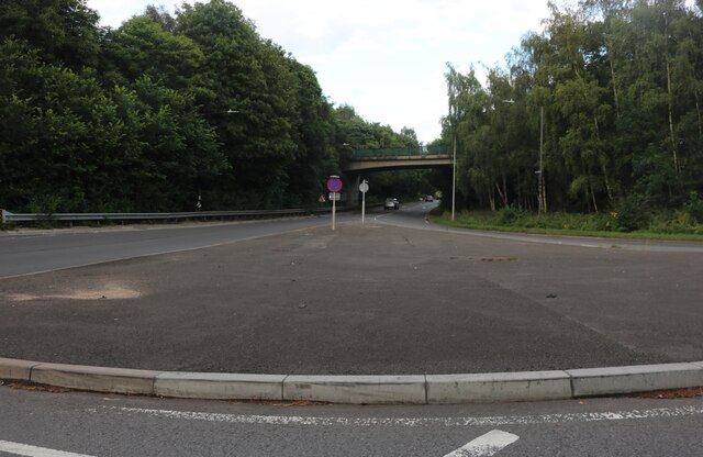
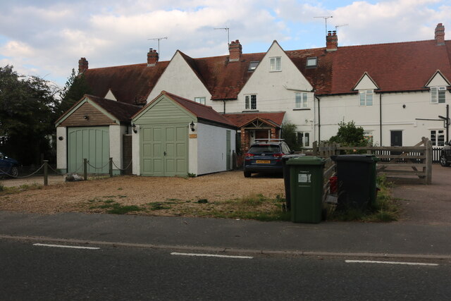
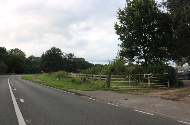
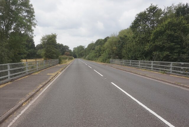
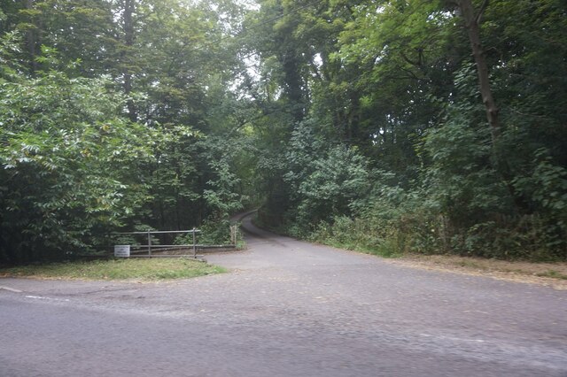
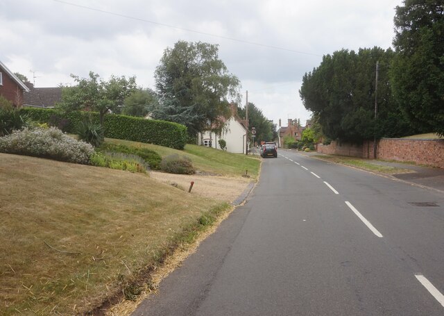
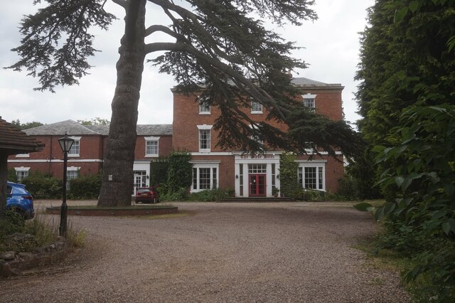
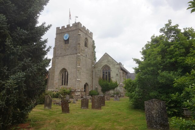
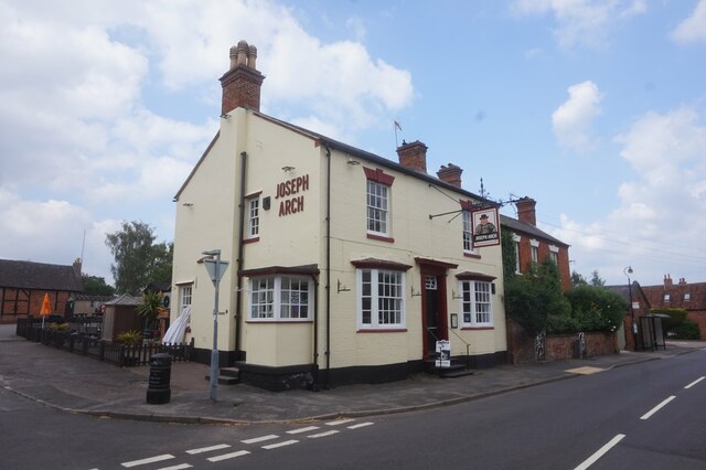
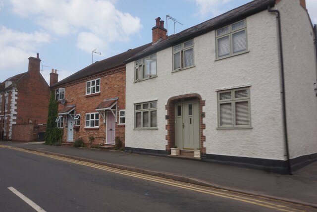
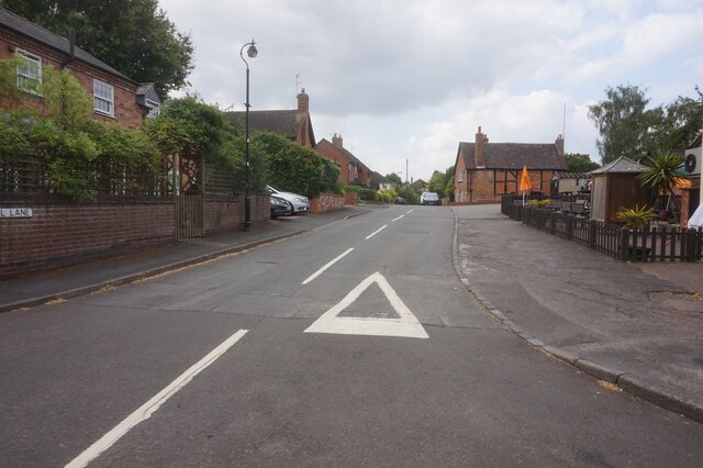
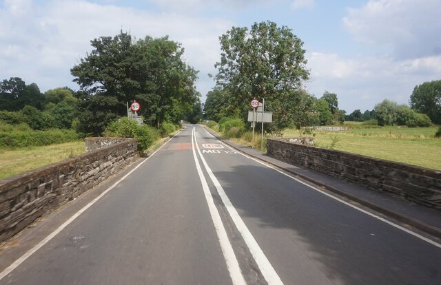
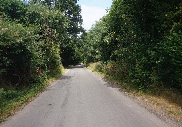
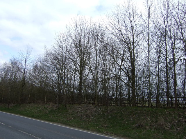
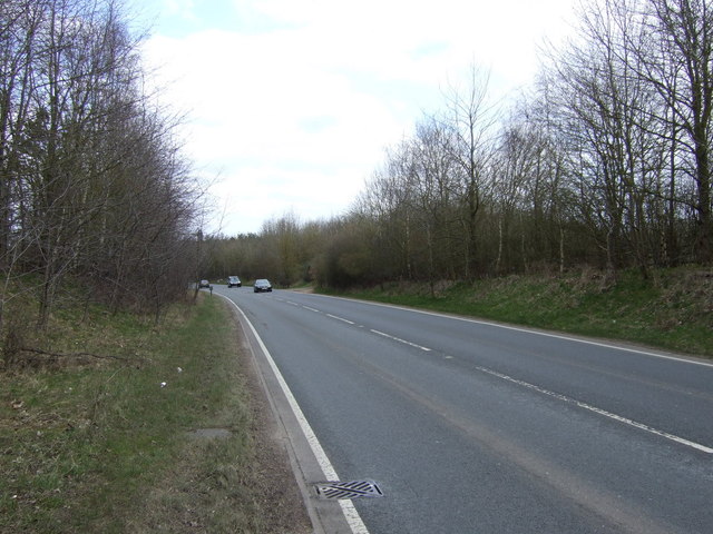
Bushey Hill Images

Images are sourced within 2km of 52.255725/-1.5885901 or Grid Reference SP2862. Thanks to Geograph Open Source API. All images are credited.

Banbury Road at the junction of The Belt
The Warwick Bypass
The Warwick Bypass
Island on the Warwick Bypass, Longbridge
Asps Cottages on Banbury Road, Warwick
Banbury Road entering Warwick
Barford Hill towards Barford
Entrance to Alderham Farm on Barford Hill
High Street, Barford
The Glebe Hotel, Barford
St Peter's Church, Barford
Joseph Arch public house, Barford
Houses on Church Street, Barford
Mill Lane, Barford
Mill Lane, Barford
Bridge Street, Barford
Water Lane, Sherbourne
Trees beside Europa Way
Europa Way (A425) Towards Leamington Spa.
Europa Way (A425)
Towards Leamington Spa.
Show me another place!

Bushey Hill is located at Grid Ref: SP2862 (Lat: 52.255725, Lng: -1.5885901)

Administrative County: Warwickshire

District: Warwick

Police Authority: Warwickshire

What 3 Words

///bring.patrol.charmingly. Near Warwick, Warwickshire

Related Wikis

RAF Warwick

RAF Warwick is a former Royal Air Force relief landing ground located 1.7 miles (2.7 km) south west of Warwick, Warwickshire, England. RAF Warwick was...

Barford, Warwickshire

Barford is a village and civil parish in the Warwick district of Warwickshire, England, about three miles south of Warwick. As at the 2001 census the parish...

Longbridge Interchange

Longbridge Interchange (also known as Longbridge Island) is a major road and motorway junction between Warwick and Sherbourne, Warwickshire, connecting...
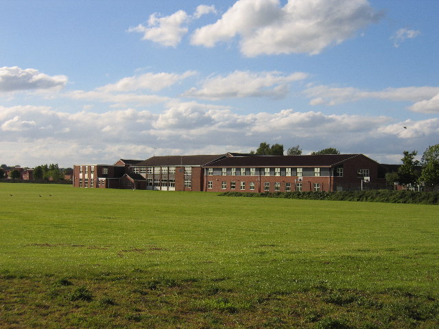
Aylesford School

Aylesford School and Sixth Form College is a coeducational all-through school and sixth form located in Warwick, England. It was constructed on part of...

Sherbourne, Warwickshire

Sherbourne is a village and civil parish in the Warwick district of Warwickshire, England. The population of the civil parish at the 2011 Census was 174...

Racing Club Warwick F.C.

Racing Club Warwick Football Club is a football club based in Warwick, Warwickshire, and competes in the United Counties League Premier Division South...

St Mary Immaculate Roman Catholic Church, Warwick

St Mary Immaculate is an active Roman Catholic parish church in the town of Warwick, England. It lies to the south west of the town on West Street outside...

List of owners of Warwick Castle

Warwick Castle, in Warwickshire, UK, was first constructed in 1068. Over its 950 years of history it has been owned by 36 different individuals, plus...

Nearby Amenities

Located within 500m of 52.255725,-1.5885901
Motorway Junction
Destination: Leamington A452
Ref: 14
Source: visual survey; bing
Lat/Long: 52.257332/-1.5949649
Give Way
Direction: forward
Lat/Long: 52.2571955/-1.5846693
Brand: National Grid
Brand Wikidata: Q1465461
Material: wood
Operator: National Grid Electricity Distribution
Operator Old: Western Power Distribution
Operator Wikidata: Q7988183
Owner: National Grid Electricity Distribution (East Midlands) Plc
Owner Wikidata: Q114348127
Power: pole
Lat/Long: 52.2545079/-1.5818658
Brand: National Grid
Brand Wikidata: Q1465461
Material: wood
Operator: National Grid Electricity Distribution
Operator Old: Western Power Distribution
Operator Wikidata: Q7988183
Owner: National Grid Electricity Distribution (East Midlands) Plc
Owner Wikidata: Q114348127
Power: pole
Lat/Long: 52.2544489/-1.5834565
Brand: National Grid
Brand Wikidata: Q1465461
Material: wood
Operator: National Grid Electricity Distribution
Operator Old: Western Power Distribution
Operator Wikidata: Q7988183
Owner: National Grid Electricity Distribution (East Midlands) Plc
Owner Wikidata: Q114348127
Power: pole
Lat/Long: 52.2546907/-1.5852419
Brand: National Grid
Brand Wikidata: Q1465461
Material: wood
Operator: National Grid Electricity Distribution
Operator Old: Western Power Distribution
Operator Wikidata: Q7988183
Owner: National Grid Electricity Distribution (East Midlands) Plc
Owner Wikidata: Q114348127
Power: pole
Lat/Long: 52.2549682/-1.5869048
Brand: National Grid
Brand Wikidata: Q1465461
Material: wood
Operator: National Grid Electricity Distribution
Operator Old: Western Power Distribution
Operator Wikidata: Q7988183
Owner: National Grid Electricity Distribution (East Midlands) Plc
Owner Wikidata: Q114348127
Power: pole
Lat/Long: 52.2550536/-1.587908
Brand: National Grid
Brand Wikidata: Q1465461
Material: wood
Operator: National Grid Electricity Distribution
Operator Old: Western Power Distribution
Operator Wikidata: Q7988183
Owner: National Grid Electricity Distribution (East Midlands) Plc
Owner Wikidata: Q114348127
Power: pole
Lat/Long: 52.2551948/-1.589056
Brand: National Grid
Brand Wikidata: Q1465461
Material: wood
Operator: National Grid Electricity Distribution
Operator Old: Western Power Distribution
Operator Wikidata: Q7988183
Owner: National Grid Electricity Distribution (East Midlands) Plc
Owner Wikidata: Q114348127
Power: pole
Lat/Long: 52.2553507/-1.5902321
Brand: National Grid
Brand Wikidata: Q1465461
Material: wood
Operator: National Grid Electricity Distribution
Operator Old: Western Power Distribution
Operator Wikidata: Q7988183
Owner: National Grid Electricity Distribution (East Midlands) Plc
Owner Wikidata: Q114348127
Power: pole
Lat/Long: 52.2554953/-1.5914485
Brand: National Grid
Brand Wikidata: Q1465461
Material: wood
Operator: National Grid Electricity Distribution
Operator Old: Western Power Distribution
Operator Wikidata: Q7988183
Owner: National Grid Electricity Distribution (East Midlands) Plc
Owner Wikidata: Q114348127
Power: pole
Lat/Long: 52.2557744/-1.5953779
Brand: National Grid
Brand Wikidata: Q1465461
Material: wood
Operator: National Grid Electricity Distribution
Operator Old: Western Power Distribution
Operator Wikidata: Q7988183
Owner: National Grid Electricity Distribution (East Midlands) Plc
Owner Wikidata: Q114348127
Power: pole
Lat/Long: 52.2555443/-1.5818391
Brand: National Grid
Brand Wikidata: Q1465461
Material: wood
Operator: National Grid Electricity Distribution
Operator Old: Western Power Distribution
Operator Wikidata: Q7988183
Owner: National Grid Electricity Distribution (East Midlands) Plc
Owner Wikidata: Q114348127
Power: pole
Lat/Long: 52.2557572/-1.5824868
Brand: National Grid
Brand Wikidata: Q1465461
Frequency: 50
Location Transition: yes
Material: wood
Operator: National Grid Electricity Distribution
Operator Old: Western Power Distribution
Operator Wikidata: Q7988183
Owner: National Grid Electricity Distribution (East Midlands) Plc
Owner Wikidata: Q114348127
Power: pole
Transformer: distribution
Voltage Primary: 11000
Voltage Secondary: 400
Lat/Long: 52.2563426/-1.5843487
Brand: National Grid
Brand Wikidata: Q1465461
Material: wood
Operator: National Grid Electricity Distribution
Operator Old: Western Power Distribution
Operator Wikidata: Q7988183
Owner: National Grid Electricity Distribution (East Midlands) Plc
Owner Wikidata: Q114348127
Power: pole
Lat/Long: 52.2561526/-1.5837458
Brand: National Grid
Brand Wikidata: Q1465461
Material: wood
Operator: National Grid Electricity Distribution
Operator Old: Western Power Distribution
Operator Wikidata: Q7988183
Owner: National Grid Electricity Distribution (East Midlands) Plc
Owner Wikidata: Q114348127
Power: pole
Lat/Long: 52.2559647/-1.5831229
Brand: National Grid
Brand Wikidata: Q1465461
Material: wood
Operator: National Grid Electricity Distribution
Operator Old: Western Power Distribution
Operator Wikidata: Q7988183
Owner: National Grid Electricity Distribution (East Midlands) Plc
Owner Wikidata: Q114348127
Power: pole
Lat/Long: 52.2556345/-1.5932372
Street Lamp
Lamp Mount: bent_mast
Lamp Type: led
Lat/Long: 52.2572228/-1.5852741
Street Lamp
Lat/Long: 52.2573303/-1.5843209
Street Lamp
Lat/Long: 52.2570078/-1.5843223
Street Lamp
Lat/Long: 52.2572507/-1.5836506
Street Lamp
Lat/Long: 52.2571309/-1.5838316
Street Lamp
Lat/Long: 52.257085/-1.5840904
Street Lamp
Lat/Long: 52.2572877/-1.5840676
Street Lamp
Lat/Long: 52.2569852/-1.5845813
Street Lamp
Lamp Mount: bent_mast
Lamp Type: led
Lat/Long: 52.2571224/-1.584783
Street Lamp
Lat/Long: 52.2572925/-1.5846413
Street Lamp
Lamp Mount: bent_mast
Lamp Type: led
Lat/Long: 52.2572487/-1.5849224
Street Lamp
Lamp Mount: bent_mast
Lamp Type: led
Lat/Long: 52.2572459/-1.585891
Street Lamp
Lat/Long: 52.2566193/-1.5847086
Street Lamp
Lat/Long: 52.2567611/-1.5845806
Brand: National Grid
Brand Wikidata: Q1465461
Material: wood
Operator: National Grid Electricity Distribution
Operator Old: Western Power Distribution
Operator Wikidata: Q7988183
Owner: National Grid Electricity Distribution (East Midlands) Plc
Owner Wikidata: Q114348127
Power: pole
Lat/Long: 52.2512327/-1.5887866
Brand: National Grid
Brand Wikidata: Q1465461
Frequency: 50
Location Transition: yes
Material: wood
Operator: National Grid Electricity Distribution
Operator Old: Western Power Distribution
Operator Wikidata: Q7988183
Owner: National Grid Electricity Distribution (East Midlands) Plc
Owner Wikidata: Q114348127
Power: pole
Transformer: distribution
Voltage Primary: 11000
Voltage Secondary: 400
Lat/Long: 52.2521307/-1.5891032
The data included in this document is from www.openstreetmap.org. The data is made available under ODbL.

Have you been to Bushey Hill?

Leave your review of Bushey Hill below (or comments, questions and feedback).