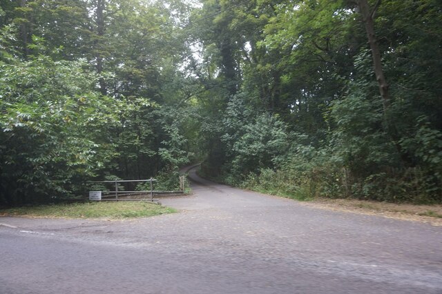
Lodge Wood
Wood, Forest in Warwickshire Warwick
England
Lodge Wood
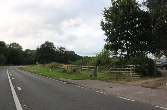
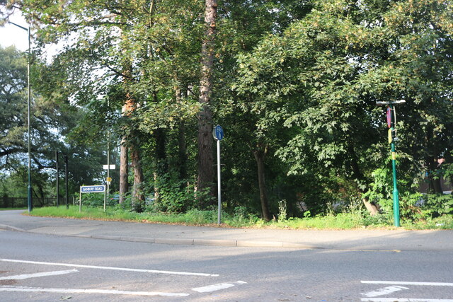
Lodge Wood is a picturesque forest located in the county of Warwickshire, England. Covering an area of approximately 100 acres, this woodland offers a tranquil escape from the hustle and bustle of everyday life. With its diverse range of flora and fauna, Lodge Wood is a haven for nature enthusiasts and provides an opportunity to explore the natural beauty of Warwickshire.
The forest is home to a variety of tree species, including oak, ash, and beech, which create a dense canopy, providing shade and shelter for the woodland floor below. The forest floor is adorned with a rich carpet of mosses, ferns, and wildflowers, adding to the enchanting atmosphere.
Lodge Wood is crisscrossed by a network of well-maintained walking trails, making it an ideal destination for hikers and walkers. These trails wind through the forest, offering breathtaking views of the surrounding countryside and allowing visitors to immerse themselves in the peaceful ambiance of the woodland.
The forest is also a popular spot for birdwatching, with a wide range of bird species calling Lodge Wood their home. Visitors may catch a glimpse of woodpeckers, jays, and nuthatches, among other feathered inhabitants.
Lodge Wood is managed by the local forestry commission, ensuring its preservation and protection for future generations. The forest provides an important habitat for a variety of wildlife, including deer, rabbits, and squirrels.
Overall, Lodge Wood in Warwickshire offers a serene and idyllic setting for nature lovers, providing a chance to reconnect with the natural world and enjoy the beauty of the British countryside.
If you have any feedback on the listing, please let us know in the comments section below.
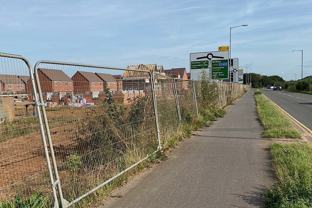
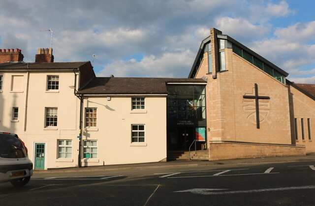
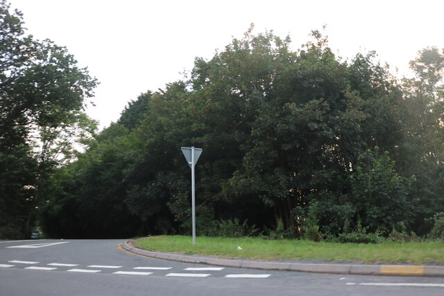
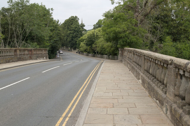
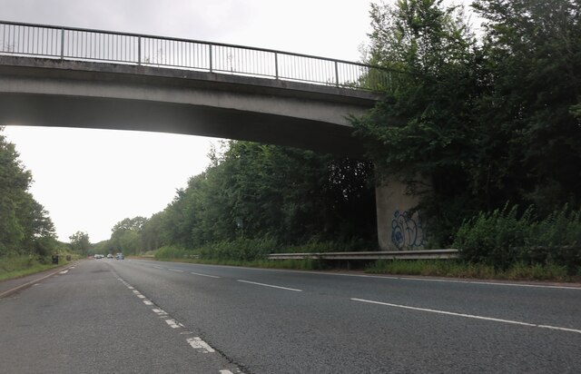
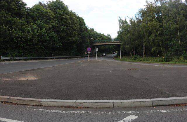
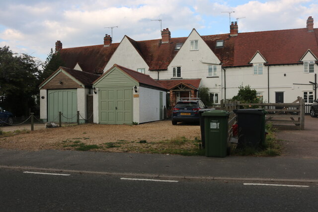
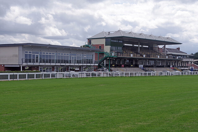
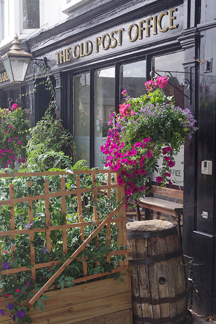
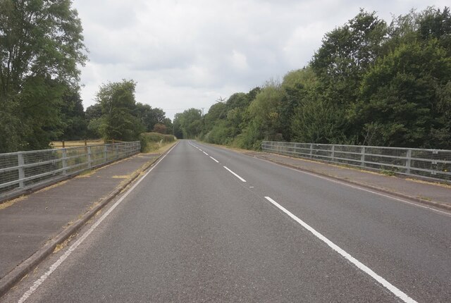
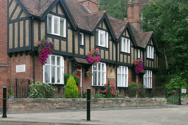
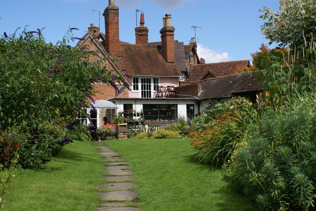
Lodge Wood Images
Images are sourced within 2km of 52.264349/-1.586708 or Grid Reference SP2862. Thanks to Geograph Open Source API. All images are credited.

Lodge Wood is located at Grid Ref: SP2862 (Lat: 52.264349, Lng: -1.586708)
Administrative County: Warwickshire
District: Warwick
Police Authority: Warwickshire
What 3 Words
///snow.clay.proper. Near Warwick, Warwickshire
Nearby Locations
Related Wikis
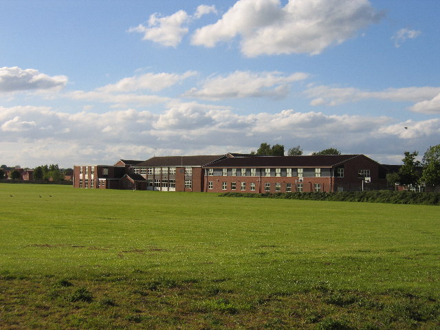
Aylesford School
Aylesford School and Sixth Form College is a coeducational all-through school and sixth form located in Warwick, England. It was constructed on part of...

RAF Warwick
RAF Warwick is a former Royal Air Force relief landing ground located 1.7 miles (2.7 km) south west of Warwick, Warwickshire, England. RAF Warwick was...
Racing Club Warwick F.C.
Racing Club Warwick Football Club is a football club based in Warwick, Warwickshire, and competes in the United Counties League Premier Division South...

St Mary Immaculate Roman Catholic Church, Warwick
St Mary Immaculate is an active Roman Catholic parish church in the town of Warwick, England. It lies to the south west of the town on West Street outside...

List of owners of Warwick Castle
Warwick Castle, in Warwickshire, UK, was first constructed in 1068. Over its 950 years of history it has been owned by 36 different individuals, plus...
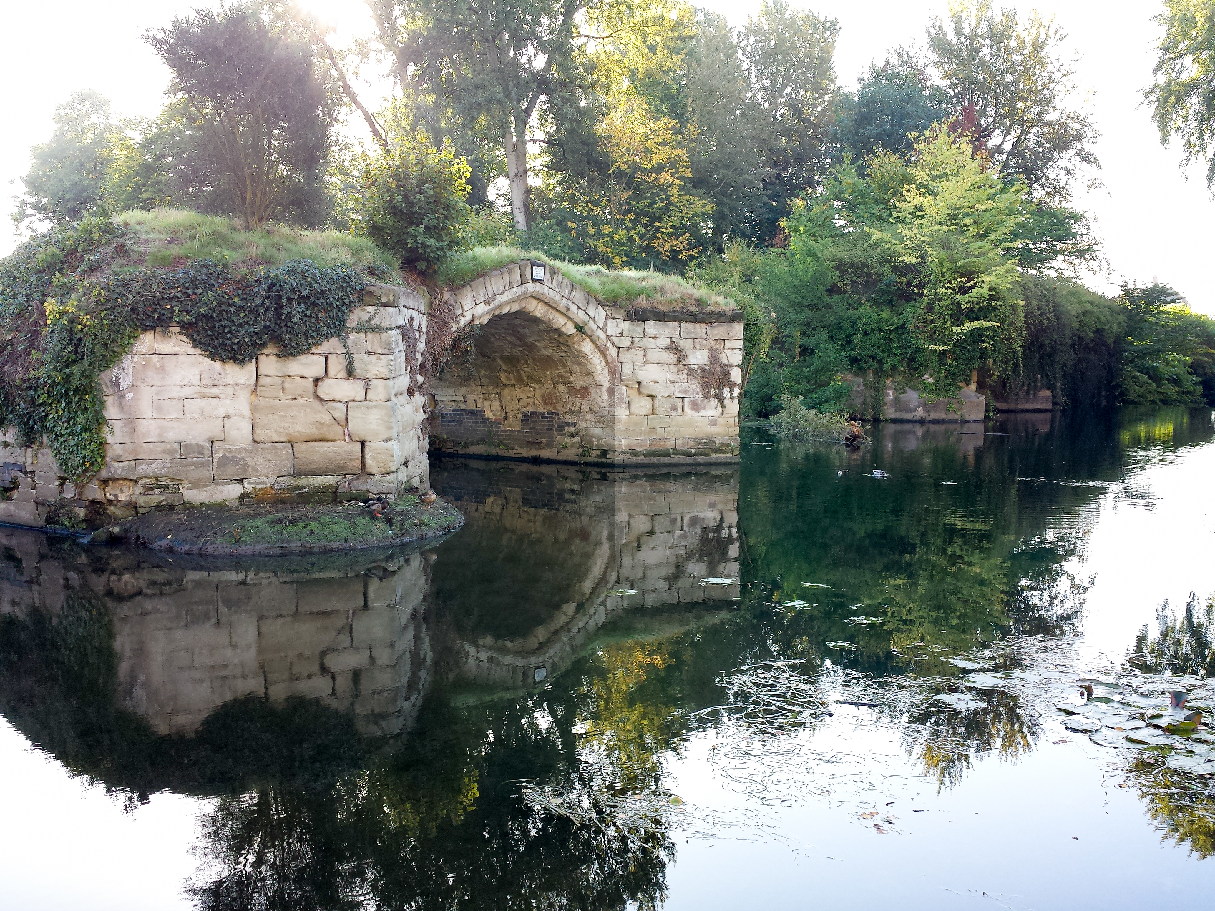
Old Castle Bridge
The Old Castle Bridge in Warwick, England is a ruined medieval bridge. The multi-arch stone bridge was built across the River Avon a short distance south...
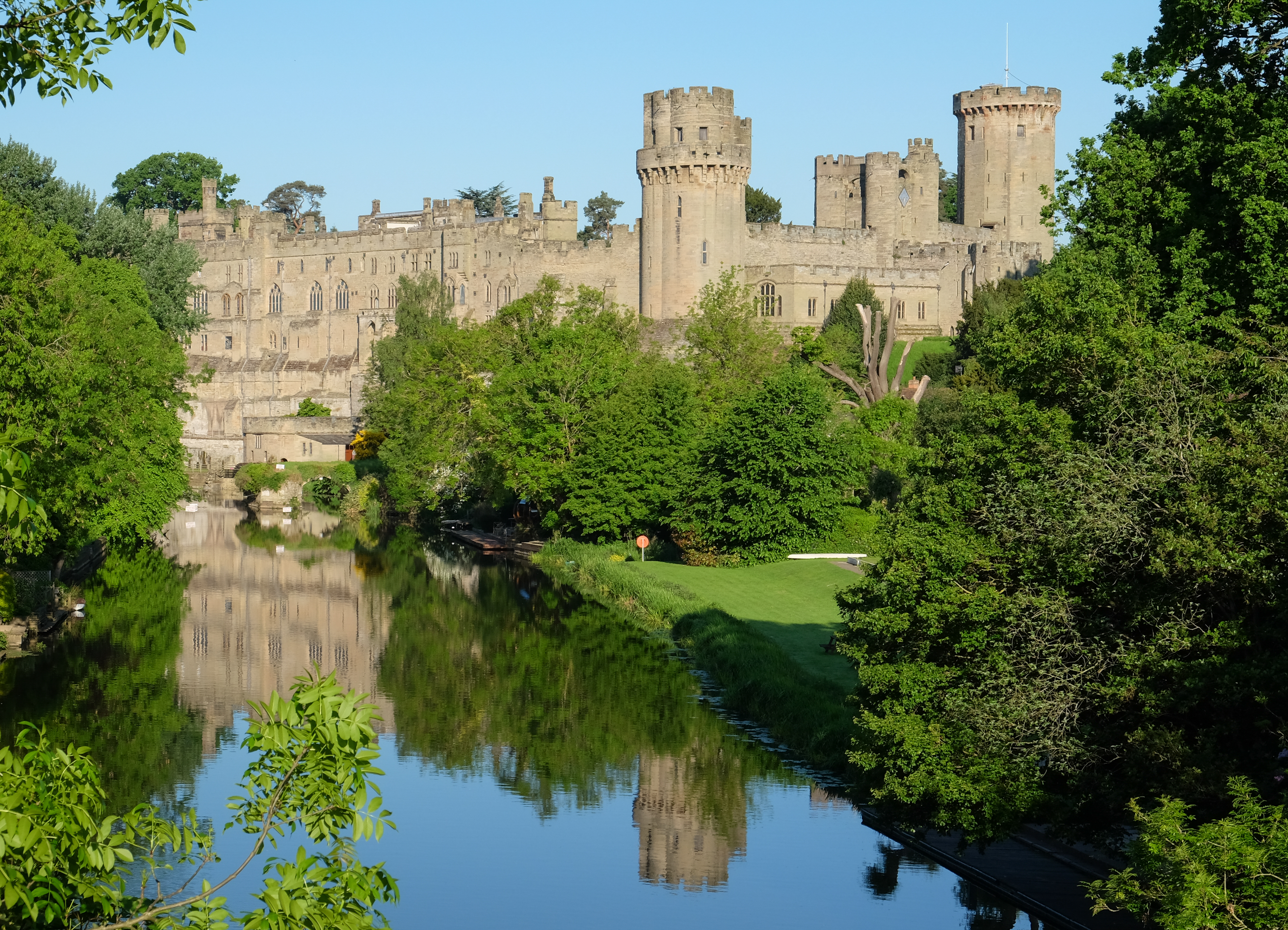
Warwick Castle
Warwick Castle is a medieval castle developed from a wooden fort, originally built by William the Conqueror during 1068. Warwick is the county town of...
The Mill Garden
The Mill Garden is a private garden adjacent to Warwick Castle measuring half an acre open to the public and situated on the bank of the River Avon in...
Related Videos

Warwick, England: Medieval Castle - Rick Steves’ Europe Travel Guide - Travel Bite
More information about travel to England: https://www.ricksteves.com/europe/england Warwick Castle is England's most ...


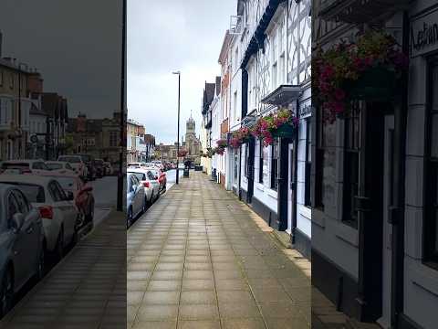
Warwick in Ultra HD: A 4K Walking Adventure 🚶♂️
Stroll through time and immerse yourself in the enchanting atmosphere of Warwick town centre, where every step reveals ...
Nearby Amenities
Located within 500m of 52.264349,-1.586708Have you been to Lodge Wood?
Leave your review of Lodge Wood below (or comments, questions and feedback).