Long Wood
Wood, Forest in Derbyshire Derbyshire Dales
England
Long Wood
Long Wood is a picturesque forest located in Derbyshire, England. Stretching over an impressive area of land, it is renowned for its scenic beauty and diverse wildlife. The wood is situated near the small village of Longford and is easily accessible for visitors seeking a tranquil escape from urban life.
Covered in a dense canopy of ancient oak and beech trees, Long Wood offers a captivating environment that changes with the seasons. In spring, the forest bursts into life with a vibrant display of wildflowers, including bluebells and primroses. During the summer months, the wood provides a cool and shady retreat, perfect for picnics and leisurely walks.
Long Wood is not just a haven for nature enthusiasts, but also for birdwatchers. The forest provides a habitat for a variety of bird species, including woodpeckers, nuthatches, and owls. Birdwatchers can often spot these feathered creatures perched on branches or soaring through the treetops.
For those interested in history, Long Wood holds significance as an ancient woodland. It has remained relatively untouched for centuries and is believed to have existed since the end of the last Ice Age. Walking through the wood, visitors can imagine themselves stepping back in time and experiencing the same landscapes that our ancestors once roamed.
Long Wood is a cherished natural treasure in Derbyshire, offering a peaceful retreat where visitors can immerse themselves in the beauty of the English countryside. Whether it's a leisurely stroll, birdwatching, or simply enjoying the serenity of nature, this enchanting forest provides an idyllic escape for all who venture within its leafy embrace.
If you have any feedback on the listing, please let us know in the comments section below.
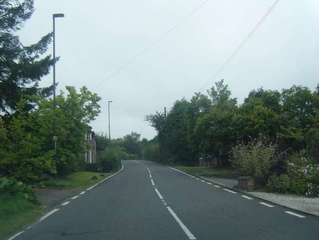
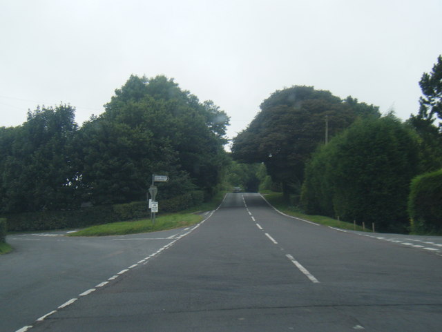
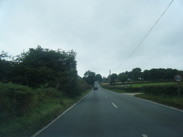
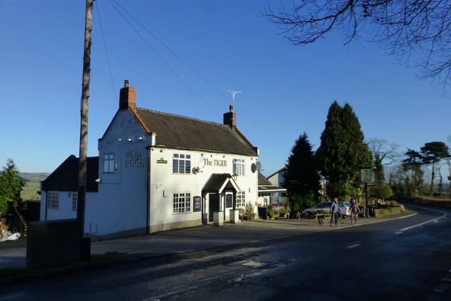
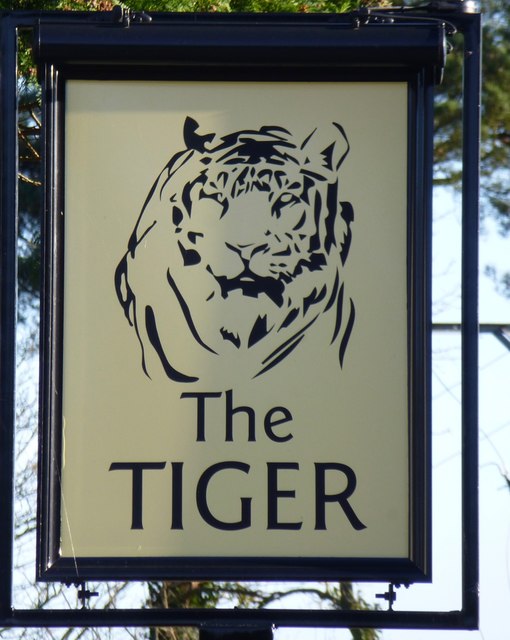
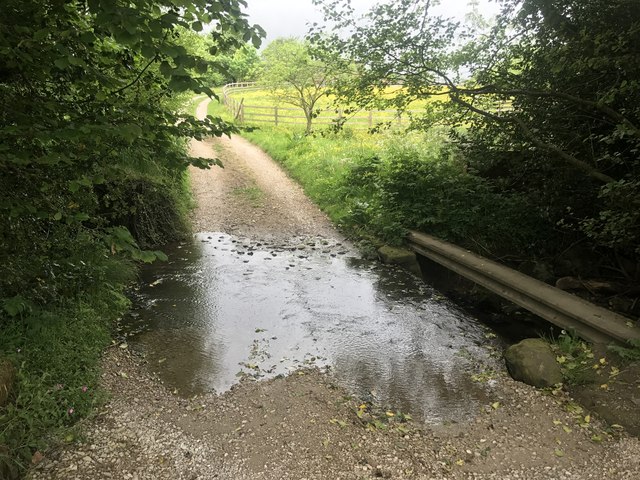
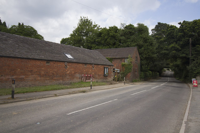
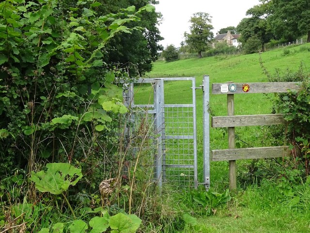
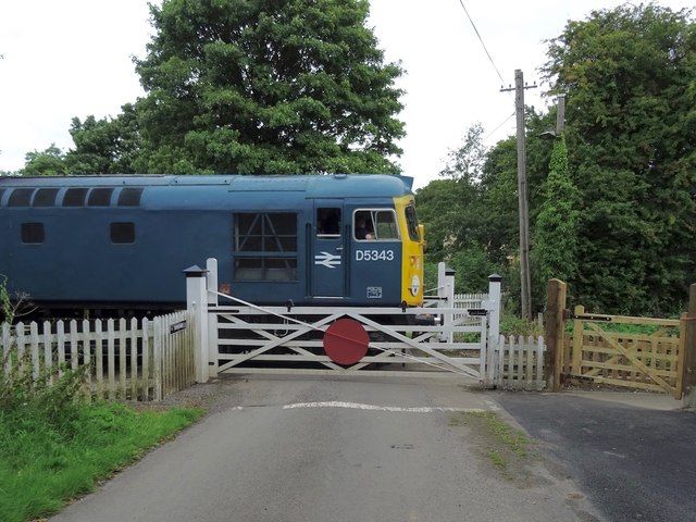
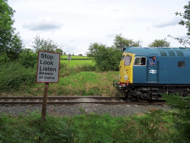
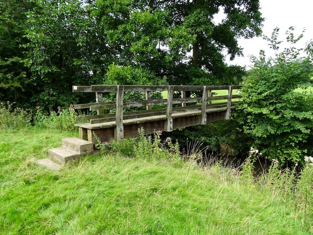
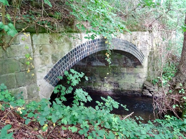
Long Wood Images
Images are sourced within 2km of 53.021353/-1.5795596 or Grid Reference SK2847. Thanks to Geograph Open Source API. All images are credited.


Long Wood is located at Grid Ref: SK2847 (Lat: 53.021353, Lng: -1.5795596)
Administrative County: Derbyshire
District: Derbyshire Dales
Police Authority: Derbyshire
What 3 Words
///pump.scream.cube. Near Belper, Derbyshire
Nearby Locations
Related Wikis
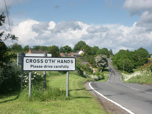
Cross o' th' Hands
Cross o' th' Hands is a small area of settlement in Derbyshire, England, 10 miles (16 km) north-west of Derby on the A517 road between Hulland and Turnditch...
Turnditch
Turnditch is a village and civil parish in the Amber Valley district of Derbyshire, England. The population of the civil parish at the 2011 Census was...

Frederick Inglefield
Admiral Sir Frederick Samuel Inglefield, (29 April 1854 – 8 August 1921) was a Royal Navy officer who served as Fourth Sea Lord, was appointed as a Grand...

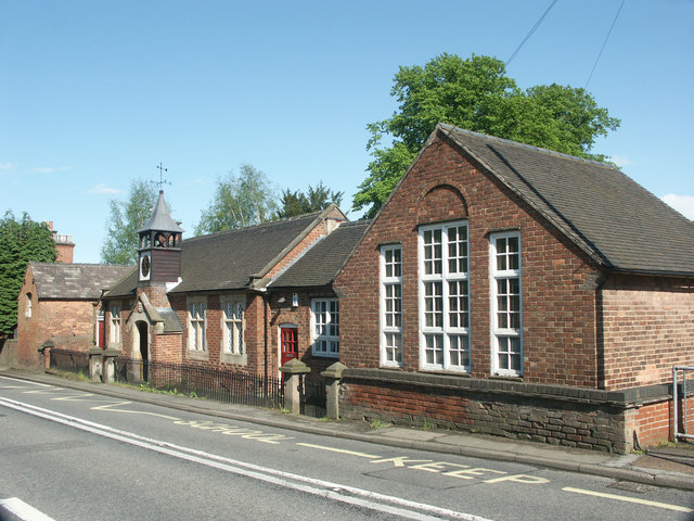
All Saints' Church, Turnditch
All Saints' Church, Turnditch is a Grade II listed parish church in the Church of England: 347 in Turnditch, Derbyshire. == History == A date of 1630...

Idridgehay and Alton
Idridgehay and Alton is a civil parish in the Amber Valley district of Derbyshire, England. The population of the civil parish taken at the 2011 Census...
Idridgehay
Idridgehay is a village in the civil parish of Idridgehay and Alton, in the Amber Valley district of Derbyshire, England. The population of this parish...
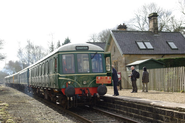
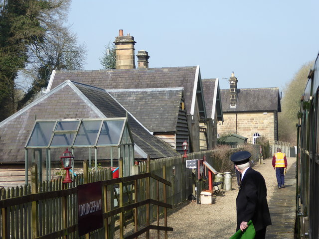
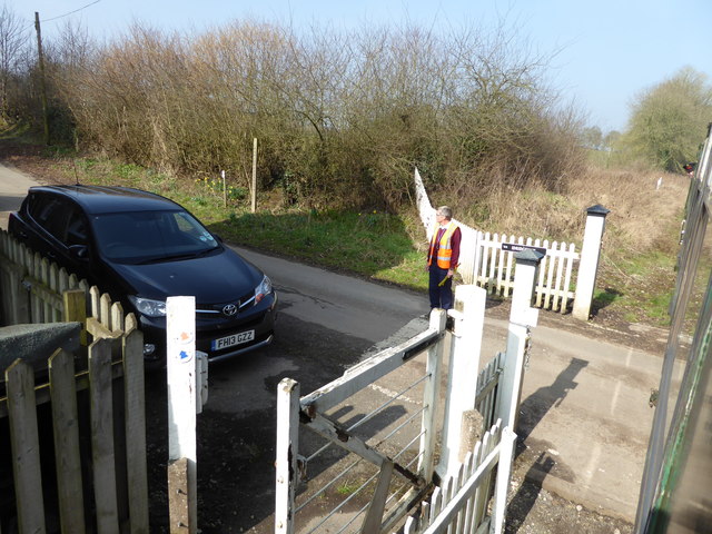
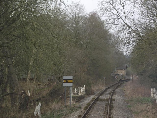
Idridgehay railway station
Idridgehay railway station is an intermediate station on the former Midland Railway branch line to the town of Wirksworth in Derbyshire. Off the Midland...

Shottle railway station
Shottle railway station is the second intermediate station on the former Midland Railway branch line to the small town of Wirksworth in Derbyshire. The...
Nearby Amenities
Located within 500m of 53.021353,-1.5795596Have you been to Long Wood?
Leave your review of Long Wood below (or comments, questions and feedback).