South Wood
Wood, Forest in Durham
England
South Wood

South Wood is a small village located in the county of Durham, in the northeast of England. Situated in the heart of the Durham Dales, it is surrounded by a picturesque landscape of rolling hills, dense forests, and meandering rivers. The village is part of the larger district of Wood, which encompasses several other nearby settlements.
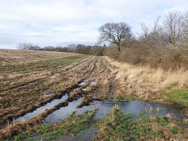
South Wood is renowned for its natural beauty and is a popular destination for outdoor enthusiasts and nature lovers. The area is home to an array of wildlife, including deer, rabbits, and various species of birds, making it a haven for birdwatching and wildlife spotting. The village is also known for its ancient woodland, with many trees dating back hundreds of years.
Despite its rural setting, South Wood benefits from good transport links, with easy access to nearby towns and the city of Durham. The village itself has a close-knit community, with a range of amenities including a primary school, a community center, and a local pub. South Wood also has a number of walking and cycling trails, allowing residents and visitors to explore the surrounding countryside.
South Wood has a rich history, with evidence of human settlement dating back to the Roman era. The village still retains some historic buildings, including a medieval church and a few traditional stone cottages. Overall, South Wood offers a peaceful and idyllic lifestyle, surrounded by stunning natural landscapes and a strong sense of community.
If you have any feedback on the listing, please let us know in the comments section below.
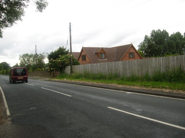
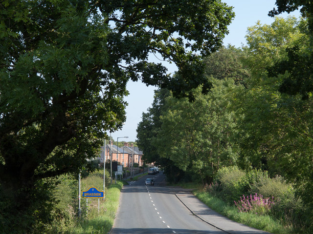
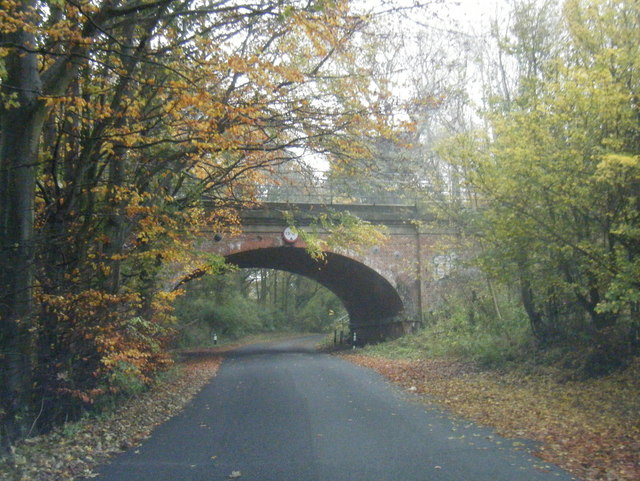
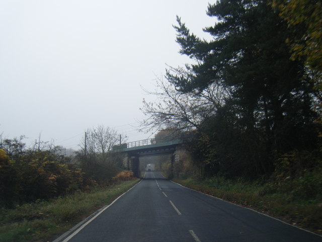
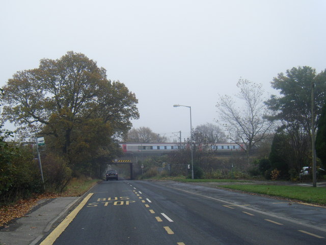
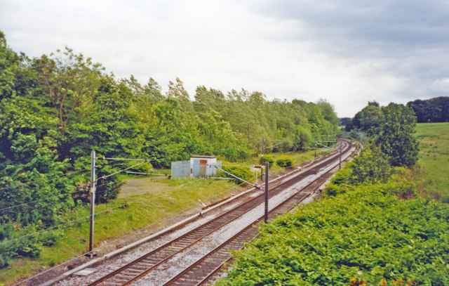
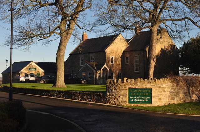
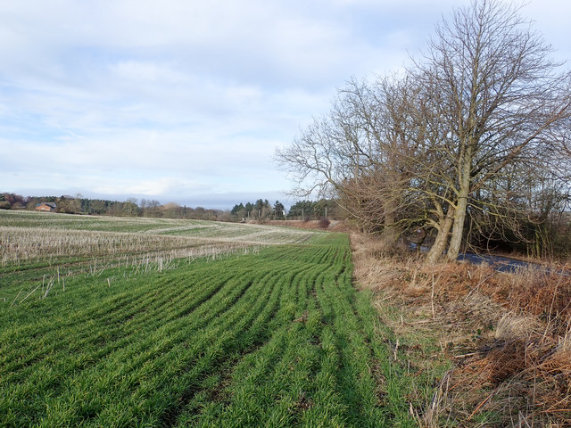
South Wood Images
Images are sourced within 2km of 54.823484/-1.5610011 or Grid Reference NZ2847. Thanks to Geograph Open Source API. All images are credited.


South Wood is located at Grid Ref: NZ2847 (Lat: 54.823484, Lng: -1.5610011)
Unitary Authority: County Durham
Police Authority: Durham
What 3 Words
///chew.folks.greyhound. Near West Rainton, Co. Durham
Nearby Locations
Related Wikis
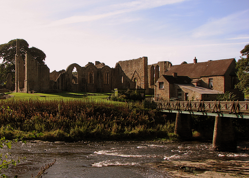
Finchale Priory
Finchale Priory ( FING-kəl), sometimes referred to as Finchale Abbey, was a 13th-century Benedictine priory. The remains are sited by the River Wear, four...
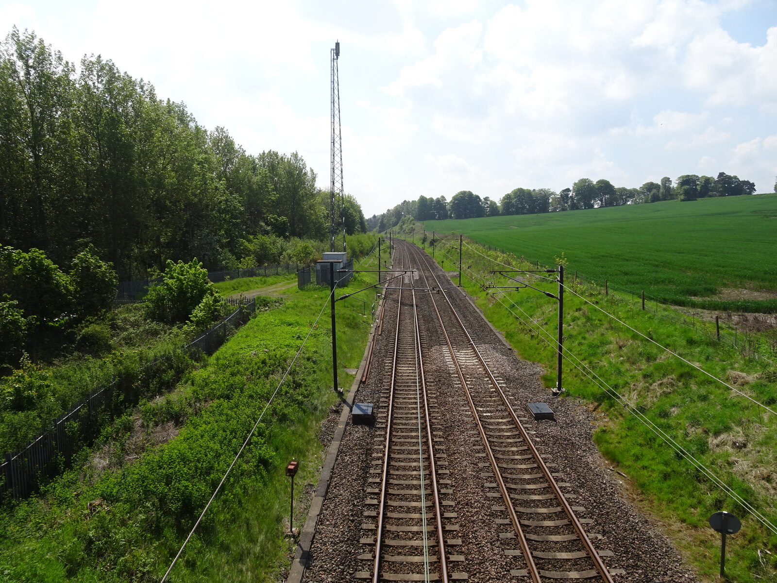
Plawsworth railway station
Plawsworth railway station served the village of Plawsworth, County Durham, England from 1868 to 1963 on the East Coast Main Line. == History == The station...

Plawsworth
Plawsworth is a village and former civil parish, now in the parish of Kimblesworth and Plawsworth, in the County Durham district, in the ceremonial county...

Great Lumley
Great Lumley is a village in County Durham, England. It is situated south east of Chester-le-Street, near Lumley Castle. It has a population of 3,843,...
Nearby Amenities
Located within 500m of 54.823484,-1.5610011Have you been to South Wood?
Leave your review of South Wood below (or comments, questions and feedback).