Southernclose Wood
Wood, Forest in Durham
England
Southernclose Wood
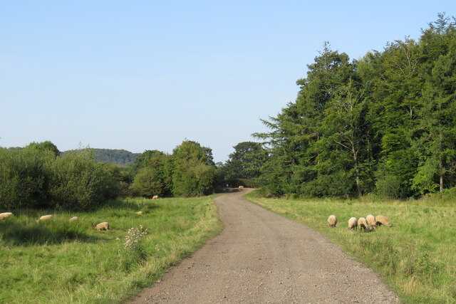
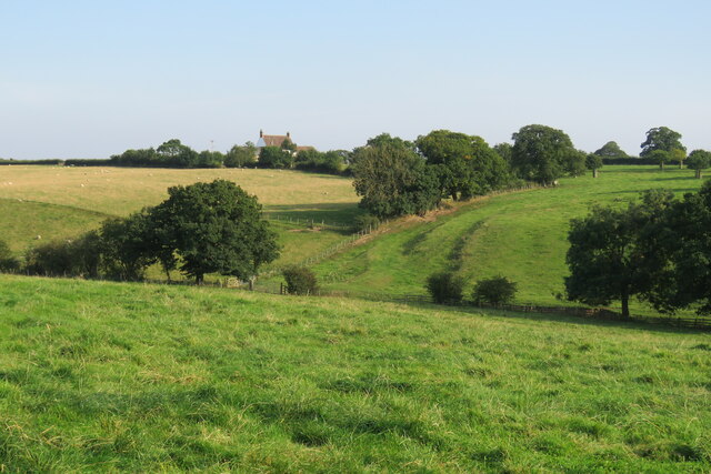
Southernclose Wood is a charming forest located in Durham, England. Covering an area of approximately 100 acres, this woodland is a haven for nature enthusiasts and offers a peaceful retreat from the hustle and bustle of city life.
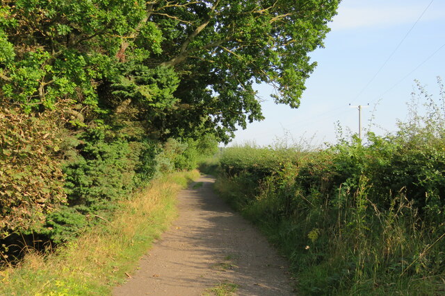
The forest is predominantly made up of native deciduous trees, including oak, beech, and birch, which create a stunning tapestry of colors throughout the year. The woodland floor is adorned with a variety of wildflowers, such as bluebells and primroses, adding to its picturesque beauty.
Southernclose Wood is home to a diverse range of wildlife, making it an ideal spot for birdwatching and nature photography. Visitors may be lucky enough to spot woodpeckers, owls, and various species of songbirds. Squirrels and rabbits also frequent the forest, adding to the enchanting atmosphere.
The woodland is crisscrossed with well-maintained trails, allowing visitors to explore its natural wonders at their own pace. These paths offer a chance to immerse oneself in the serene surroundings and take in the fresh, crisp air. There are also designated picnic areas, providing a perfect opportunity to enjoy a packed lunch amidst the beauty of nature.
Managed by local authorities, Southernclose Wood is carefully preserved to ensure its ecological balance. Visitors are encouraged to respect the forest's flora and fauna, as well as follow designated trails to avoid disturbing any sensitive habitats.
Overall, Southernclose Wood is a delightful woodland that offers a serene and enchanting experience for all who visit. Its natural beauty and diverse wildlife make it a true gem in the heart of Durham.
If you have any feedback on the listing, please let us know in the comments section below.
Southernclose Wood Images
Images are sourced within 2km of 54.730549/-1.5620056 or Grid Reference NZ2837. Thanks to Geograph Open Source API. All images are credited.
![Croxdale Cemetery The OS flush bracket [S8971] is located on the north-west facing wall of the cemetery building.](https://s3.geograph.org.uk/geophotos/07/05/28/7052811_df40d981.jpg)
![Croxdale Cemetery There is an OS flush bracket [S8971] located on the north-west facing wall of the cemetery building. It is about 2 foot above ground level and directly below the roof apex.](https://s2.geograph.org.uk/geophotos/07/05/28/7052814_a2cc217c.jpg)

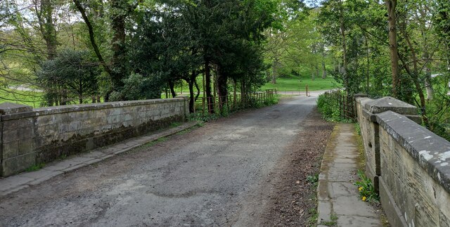
![Sunderland [old] Bridge The bolt benchmark is cut into the eastern parapet of the old bridge.](https://s1.geograph.org.uk/geophotos/07/19/24/7192485_d0e9423d.jpg)
![Sunderland [old] Bridge There is a bolt benchmark cut into the second course of stone on the eastern parapet of the old bridge.](https://s3.geograph.org.uk/geophotos/07/19/24/7192487_c6cbaa76.jpg)


Southernclose Wood is located at Grid Ref: NZ2837 (Lat: 54.730549, Lng: -1.5620056)
Unitary Authority: County Durham
Police Authority: Durham
What 3 Words
///discusses.sour.silk. Near Bowburn, Co. Durham
Nearby Locations
Related Wikis

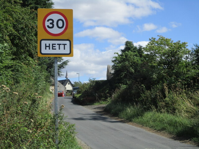
Hett, County Durham
Hett is a village and former civil parish, now in the parish of Croxdale and Hett, in the County Durham district, in the ceremonial county of Durham, England...

Croxdale and Hett
Croxdale and Hett is a civil parish in County Durham, England. It is situated approximately four miles south of Durham. The population of the civil parish...

Croxdale Hall
Croxdale Hall is a privately owned country mansion situated at Croxdale near Sunderland Bridge, County Durham. It is a Grade I listed building. == Ownership... ==

Croxdale
Croxdale is a village in the civil parish of Croxdale and Hett, situated about 3 miles (4.8 km) south of Durham City, in County Durham , England and on...
Nearby Amenities
Located within 500m of 54.730549,-1.5620056Have you been to Southernclose Wood?
Leave your review of Southernclose Wood below (or comments, questions and feedback).