Barford Wood

Wood, Forest in Warwickshire Warwick

England

Barford Wood

Gallows Hill, Warwick Looking down Gallows Hill towards Warwick Castle from the end of the new housing development.
Gallows Hill, Warwick Credit: AJD

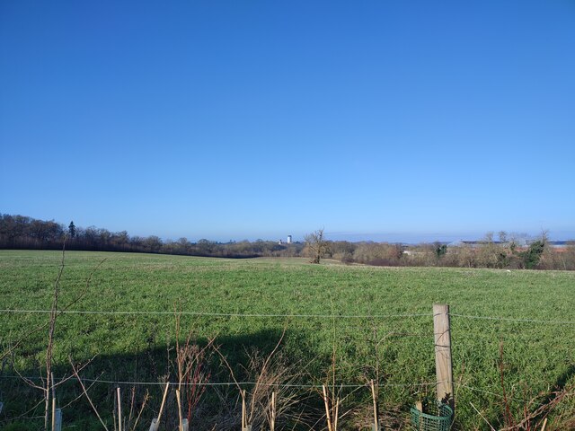
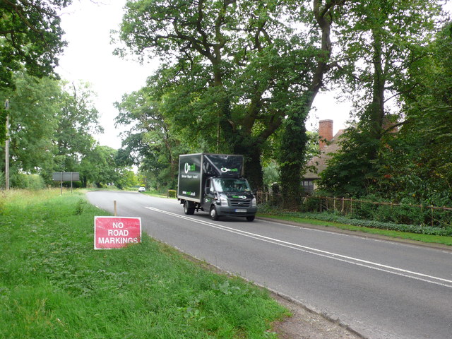
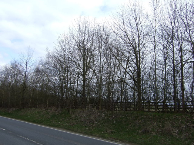
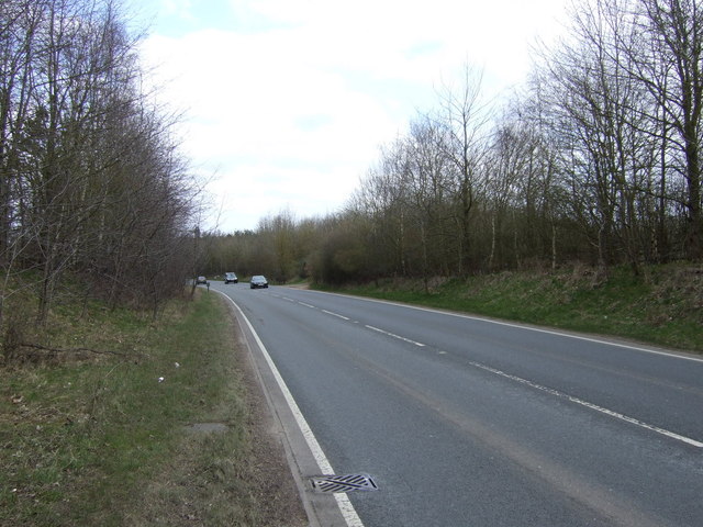
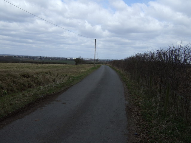
Barford Wood is a picturesque woodland located in Warwickshire, England. Covering an area of approximately 40 hectares, it is a popular destination for nature lovers and outdoor enthusiasts. The wood is situated near the village of Barford, just a few miles south of Warwick.

Barford Wood boasts a diverse range of tree species, including oak, ash, and beech, which create a lush and vibrant environment. The dense canopy of trees provides a cool and shaded atmosphere, making it an ideal spot for tranquil walks and picnics during the summer months.

The wood is home to a variety of wildlife, including deer, badgers, and a wide range of bird species. Visitors may catch glimpses of these creatures as they explore the numerous footpaths and trails that wind through the woodland. Nature enthusiasts can also discover a variety of plants and flowers, adding to the area's natural beauty.

In addition to its natural attractions, Barford Wood offers recreational facilities for visitors. There are designated areas for camping and picnicking, as well as a children's playground for families. The wood is also a favorite spot for birdwatching and photography, with many visitors capturing the stunning scenery and wildlife.

Overall, Barford Wood is a tranquil and enchanting woodland that offers a peaceful escape from the hustle and bustle of everyday life. Its natural beauty, diverse wildlife, and recreational amenities make it a must-visit destination for nature enthusiasts and those seeking a serene outdoor experience.

If you have any feedback on the listing, please let us know in the comments section below.
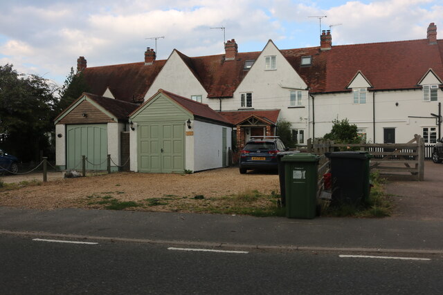
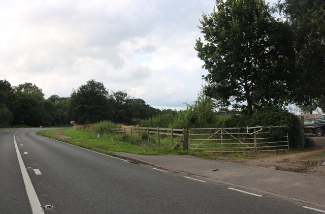
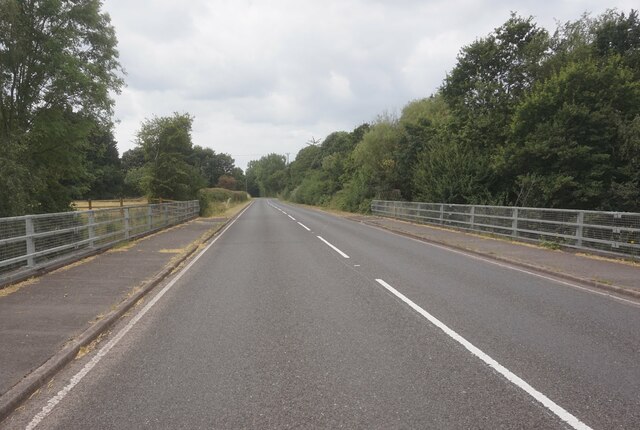
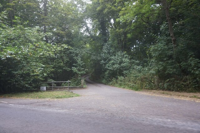
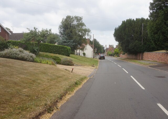
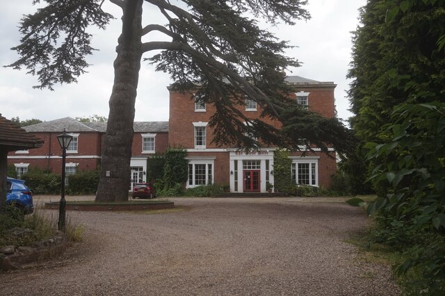
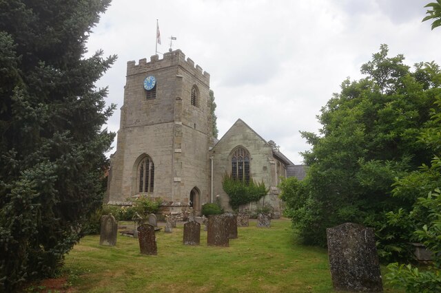
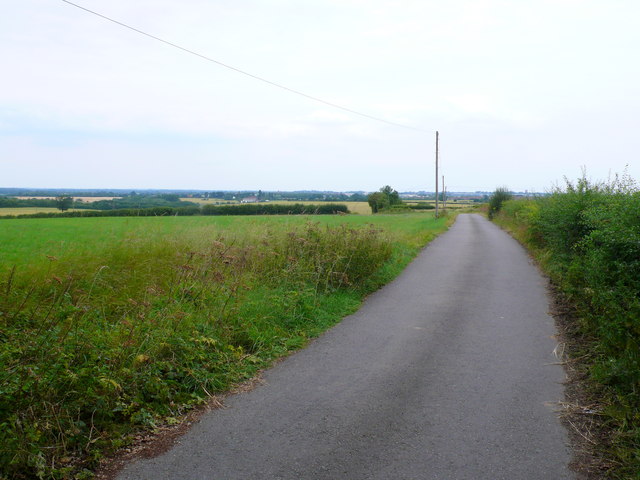
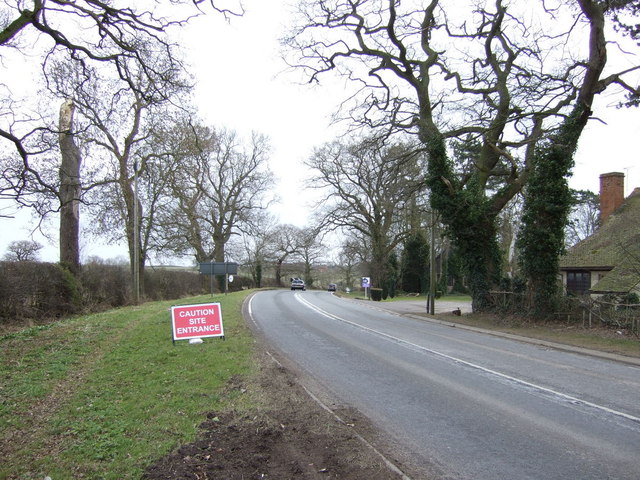
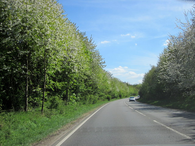
Barford Wood Images

Images are sourced within 2km of 52.258225/-1.5861349 or Grid Reference SP2862. Thanks to Geograph Open Source API. All images are credited.

Gallows Hill, Warwick Looking down Gallows Hill towards Warwick Castle from the end of the new housing development.
Gallows Hill, Warwick
Looking down Gallows Hill towards Warwick Castle from the end of the new housing development.
Banbury Road at the junction of The Belt
The Warwick Bypass
The Warwick Bypass
Island on the Warwick Bypass, Longbridge
Asps Cottages on Banbury Road, Warwick
Banbury Road entering Warwick
Barford Hill towards Barford
Entrance to Alderham Farm on Barford Hill
High Street, Barford
The Glebe Hotel, Barford
St Peter's Church, Barford
Drive to New House Farm This tarmacked drive leaves the A452 Banbury Road at Greys Mallory and heads for New House Farm, a converted farm that now no longer is a working farm but is split into three sizeable residences. The actual buildings are in SP3062.
Drive to New House Farm
This tarmacked drive leaves the A452 Banbury Road at Greys Mallory and heads for New House Farm, a converted farm that now no longer is a working farm but is split into three sizeable residences. The actual buildings are in SP3062.
Banbury Rd at Greys Mallory The busy A452 had been resurfaced in patches and the white lines were still missing from the resurfaced parts.
Banbury Rd at Greys Mallory
The busy A452 had been resurfaced in patches and the white lines were still missing from the resurfaced parts.
Trees beside Europa Way
Europa Way (A425) Towards Leamington Spa.
Europa Way (A425)
Towards Leamington Spa.
Track to New House Farm
Banbury Road (A452)  Towards the M40.
Banbury Road (A452)
Towards the M40.
A452 Europa Way
A452 Europa Way
Show me another place!

Barford Wood is located at Grid Ref: SP2862 (Lat: 52.258225, Lng: -1.5861349)

Administrative County: Warwickshire

District: Warwick

Police Authority: Warwickshire

What 3 Words

///larger.will.risky. Near Warwick, Warwickshire

Related Wikis

RAF Warwick

RAF Warwick is a former Royal Air Force relief landing ground located 1.7 miles (2.7 km) south west of Warwick, Warwickshire, England. RAF Warwick was...
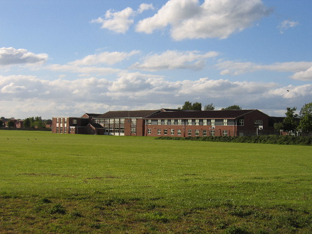
Aylesford School

Aylesford School and Sixth Form College is a coeducational all-through school and sixth form located in Warwick, England. It was constructed on part of...

Longbridge Interchange

Longbridge Interchange (also known as Longbridge Island) is a major road and motorway junction between Warwick and Sherbourne, Warwickshire, connecting...

Barford, Warwickshire

Barford is a village and civil parish in the Warwick district of Warwickshire, England, about three miles south of Warwick. As at the 2001 census the parish...

Racing Club Warwick F.C.

Racing Club Warwick Football Club is a football club based in Warwick, Warwickshire, and competes in the United Counties League Premier Division South...

St Mary Immaculate Roman Catholic Church, Warwick

St Mary Immaculate is an active Roman Catholic parish church in the town of Warwick, England. It lies to the south west of the town on West Street outside...
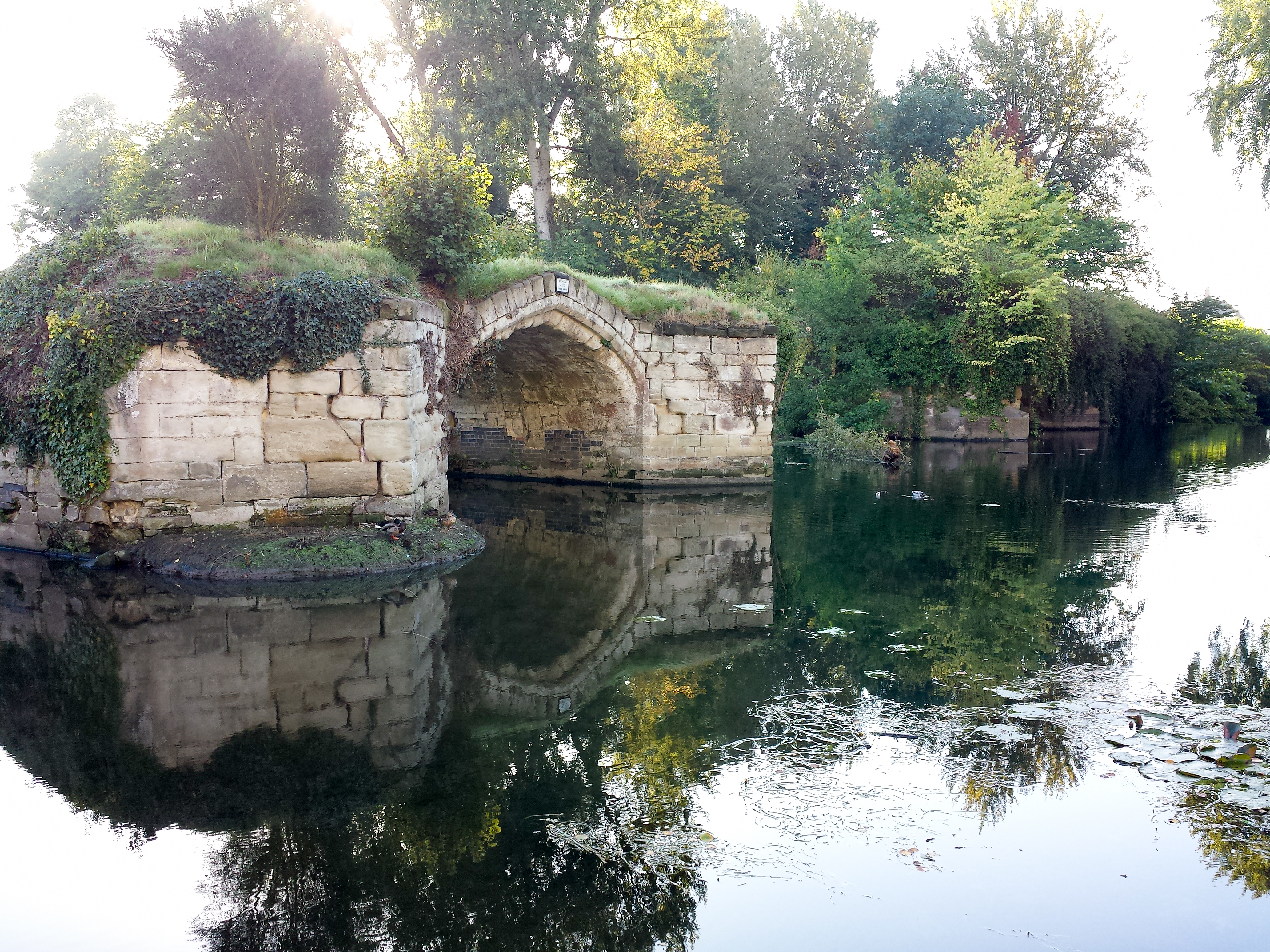
Old Castle Bridge

The Old Castle Bridge in Warwick, England is a ruined medieval bridge. The multi-arch stone bridge was built across the River Avon a short distance south...

List of owners of Warwick Castle

Warwick Castle, in Warwickshire, UK, was first constructed in 1068. Over its 950 years of history it has been owned by 36 different individuals, plus...

Nearby Amenities

Located within 500m of 52.258225,-1.5861349
Give Way
Direction: forward
Lat/Long: 52.2571955/-1.5846693
Brand: National Grid
Brand Wikidata: Q1465461
Material: wood
Operator: National Grid Electricity Distribution
Operator Old: Western Power Distribution
Operator Wikidata: Q7988183
Owner: National Grid Electricity Distribution (East Midlands) Plc
Owner Wikidata: Q114348127
Power: pole
Lat/Long: 52.2544489/-1.5834565
Brand: National Grid
Brand Wikidata: Q1465461
Material: wood
Operator: National Grid Electricity Distribution
Operator Old: Western Power Distribution
Operator Wikidata: Q7988183
Owner: National Grid Electricity Distribution (East Midlands) Plc
Owner Wikidata: Q114348127
Power: pole
Lat/Long: 52.2546907/-1.5852419
Brand: National Grid
Brand Wikidata: Q1465461
Material: wood
Operator: National Grid Electricity Distribution
Operator Old: Western Power Distribution
Operator Wikidata: Q7988183
Owner: National Grid Electricity Distribution (East Midlands) Plc
Owner Wikidata: Q114348127
Power: pole
Lat/Long: 52.2549682/-1.5869048
Brand: National Grid
Brand Wikidata: Q1465461
Material: wood
Operator: National Grid Electricity Distribution
Operator Old: Western Power Distribution
Operator Wikidata: Q7988183
Owner: National Grid Electricity Distribution (East Midlands) Plc
Owner Wikidata: Q114348127
Power: pole
Lat/Long: 52.2550536/-1.587908
Brand: National Grid
Brand Wikidata: Q1465461
Material: wood
Operator: National Grid Electricity Distribution
Operator Old: Western Power Distribution
Operator Wikidata: Q7988183
Owner: National Grid Electricity Distribution (East Midlands) Plc
Owner Wikidata: Q114348127
Power: pole
Lat/Long: 52.2551948/-1.589056
Brand: National Grid
Brand Wikidata: Q1465461
Material: wood
Operator: National Grid Electricity Distribution
Operator Old: Western Power Distribution
Operator Wikidata: Q7988183
Owner: National Grid Electricity Distribution (East Midlands) Plc
Owner Wikidata: Q114348127
Power: pole
Lat/Long: 52.2553507/-1.5902321
Brand: National Grid
Brand Wikidata: Q1465461
Material: wood
Operator: National Grid Electricity Distribution
Operator Old: Western Power Distribution
Operator Wikidata: Q7988183
Owner: National Grid Electricity Distribution (East Midlands) Plc
Owner Wikidata: Q114348127
Power: pole
Lat/Long: 52.2554953/-1.5914485
Brand: National Grid
Brand Wikidata: Q1465461
Location Transition: yes
Material: wood
Operator: National Grid Electricity Distribution
Operator Old: Western Power Distribution
Operator Wikidata: Q7988183
Owner: National Grid Electricity Distribution (East Midlands) Plc
Owner Wikidata: Q114348127
Power: pole
Lat/Long: 52.2552797/-1.5811779
Brand: National Grid
Brand Wikidata: Q1465461
Material: wood
Operator: National Grid Electricity Distribution
Operator Old: Western Power Distribution
Operator Wikidata: Q7988183
Owner: National Grid Electricity Distribution (East Midlands) Plc
Owner Wikidata: Q114348127
Power: pole
Lat/Long: 52.2555443/-1.5818391
Brand: National Grid
Brand Wikidata: Q1465461
Material: wood
Operator: National Grid Electricity Distribution
Operator Old: Western Power Distribution
Operator Wikidata: Q7988183
Owner: National Grid Electricity Distribution (East Midlands) Plc
Owner Wikidata: Q114348127
Power: pole
Lat/Long: 52.2557572/-1.5824868
Brand: National Grid
Brand Wikidata: Q1465461
Frequency: 50
Location Transition: yes
Material: wood
Operator: National Grid Electricity Distribution
Operator Old: Western Power Distribution
Operator Wikidata: Q7988183
Owner: National Grid Electricity Distribution (East Midlands) Plc
Owner Wikidata: Q114348127
Power: pole
Transformer: distribution
Voltage Primary: 11000
Voltage Secondary: 400
Lat/Long: 52.2563426/-1.5843487
Brand: National Grid
Brand Wikidata: Q1465461
Material: wood
Operator: National Grid Electricity Distribution
Operator Old: Western Power Distribution
Operator Wikidata: Q7988183
Owner: National Grid Electricity Distribution (East Midlands) Plc
Owner Wikidata: Q114348127
Power: pole
Lat/Long: 52.2561526/-1.5837458
Brand: National Grid
Brand Wikidata: Q1465461
Material: wood
Operator: National Grid Electricity Distribution
Operator Old: Western Power Distribution
Operator Wikidata: Q7988183
Owner: National Grid Electricity Distribution (East Midlands) Plc
Owner Wikidata: Q114348127
Power: pole
Lat/Long: 52.2559647/-1.5831229
Street Lamp
Lamp Mount: bent_mast
Lamp Type: led
Lat/Long: 52.2572228/-1.5852741
Street Lamp
Lat/Long: 52.2573303/-1.5843209
Street Lamp
Lat/Long: 52.2570078/-1.5843223
Street Lamp
Lat/Long: 52.2572507/-1.5836506
Street Lamp
Lat/Long: 52.2571309/-1.5838316
Street Lamp
Lat/Long: 52.257085/-1.5840904
Street Lamp
Lat/Long: 52.2572877/-1.5840676
Street Lamp
Lat/Long: 52.2569852/-1.5845813
Street Lamp
Lamp Mount: bent_mast
Lamp Type: led
Lat/Long: 52.2571224/-1.584783
Street Lamp
Lat/Long: 52.2572925/-1.5846413
Street Lamp
Lamp Mount: bent_mast
Lamp Type: led
Lat/Long: 52.2572487/-1.5849224
Street Lamp
Lamp Mount: bent_mast
Lamp Type: led
Lat/Long: 52.2572459/-1.585891
Street Lamp
Lat/Long: 52.2566193/-1.5847086
Street Lamp
Lat/Long: 52.2567611/-1.5845806
Brand: National Grid
Brand Wikidata: Q1465461
Location Transition: yes
Material: wood
Operator: National Grid Electricity Distribution
Operator Old: Western Power Distribution
Operator Wikidata: Q7988183
Owner: National Grid Electricity Distribution (East Midlands) Plc
Owner Wikidata: Q114348127
Power: pole
Lat/Long: 52.2620514/-1.5829612
Brand: National Grid
Brand Wikidata: Q1465461
Material: wood
Operator: National Grid Electricity Distribution
Operator Old: Western Power Distribution
Operator Wikidata: Q7988183
Owner: National Grid Electricity Distribution (East Midlands) Plc
Owner Wikidata: Q114348127
Power: pole
Lat/Long: 52.2625266/-1.5843287
The data included in this document is from www.openstreetmap.org. The data is made available under ODbL.

Have you been to Barford Wood?

Leave your review of Barford Wood below (or comments, questions and feedback).