Rough Plantation

Wood, Forest in Yorkshire Hambleton

England

Rough Plantation

Thorp Perrow Arboretum Also a falconry centre, fantastic day  out for the kids (and adults)
Thorp Perrow Arboretum Credit: Alison Stamp

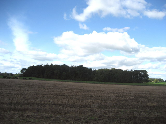
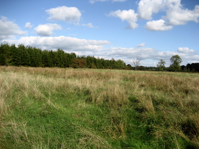
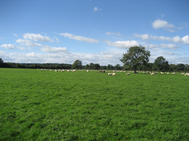
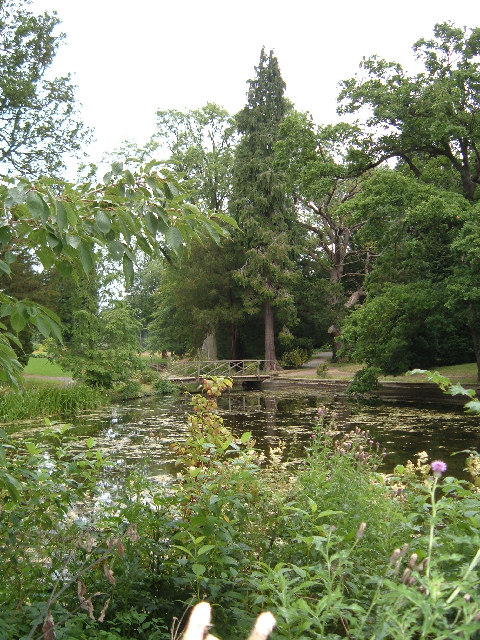
Rough Plantation, located in Yorkshire, is a serene woodland area known for its rich biodiversity and stunning natural beauty. Situated in the northeastern part of England, this plantation covers a vast area of land and is predominantly covered with dense forests.

The woodland in Rough Plantation is characterized by a variety of tree species, including oak, beech, birch, and pine, creating a diverse and vibrant ecosystem. The thick canopy provides ample shade, making it a perfect habitat for various bird species, such as woodpeckers, jays, and owls. The forest floor is adorned with a multitude of wildflowers and ferns, adding to the enchanting atmosphere.

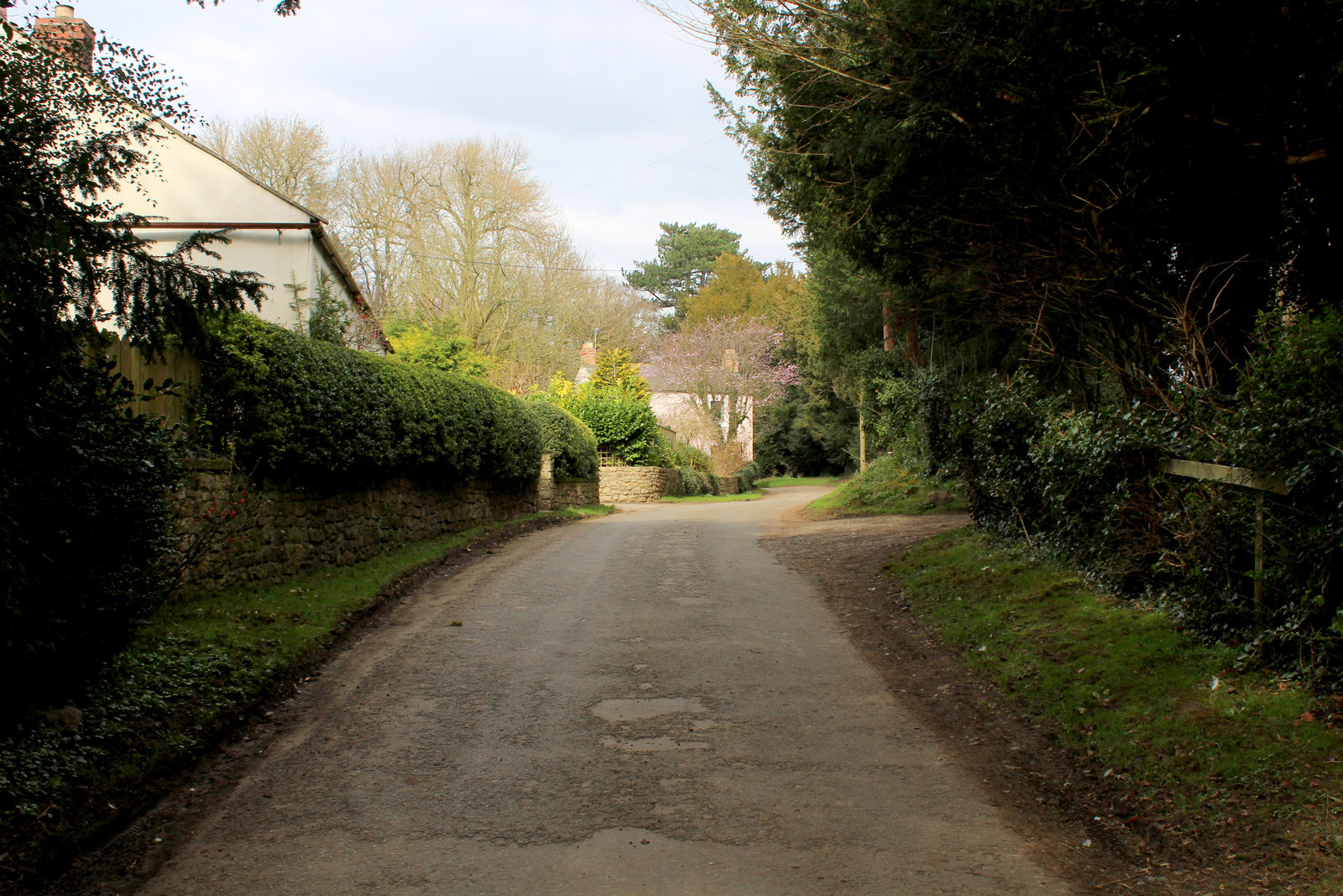
The plantation is crisscrossed with numerous walking trails, allowing visitors to explore and appreciate the natural wonders it has to offer. The paths wind through the trees, offering glimpses of enchanting glades and meandering streams. The tranquil ambiance of the woodland makes it a popular destination for nature lovers, hikers, and photographers seeking to capture the beauty of the surroundings.

Rough Plantation is also home to a diverse range of wildlife. Apart from the avian species, the woodland provides a habitat for mammals such as deer, foxes, badgers, and rabbits. The presence of these animals adds an element of excitement and intrigue to any visit.

Overall, Rough Plantation in Yorkshire is a captivating destination for those seeking to immerse themselves in the tranquility of nature. Its lush forests, picturesque trails, and abundant wildlife make it a must-visit location for anyone looking to appreciate the natural wonders of Yorkshire.

If you have any feedback on the listing, please let us know in the comments section below.

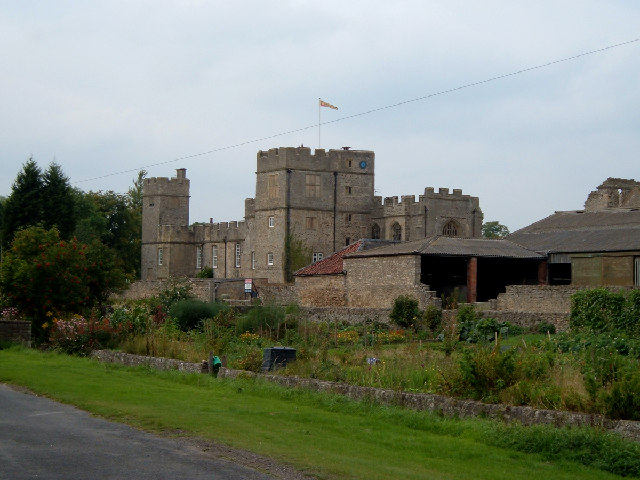
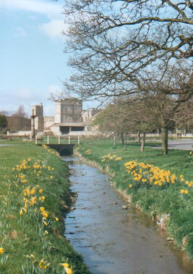
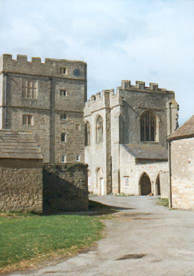
Rough Plantation Images

Images are sourced within 2km of 54.26183/-1.5663714 or Grid Reference SE2885. Thanks to Geograph Open Source API. All images are credited.

Thorp Perrow Arboretum Also a falconry centre, fantastic day  out for the kids (and adults)
Thorp Perrow Arboretum
Also a falconry centre, fantastic day out for the kids (and adults)
Snape Castle 15th century castle.  In 1532 John Neville (1493-1542) the 3rd Lord Latimer, married his third wife, Catherine Parr in the Castle chapel.  Catherine Parr married King Henry VIII in 1543 after the death of John Neville.
Snape Castle
15th century castle. In 1532 John Neville (1493-1542) the 3rd Lord Latimer, married his third wife, Catherine Parr in the Castle chapel. Catherine Parr married King Henry VIII in 1543 after the death of John Neville.
The Beck, Snape An attractive little beck runs through the centre of the village of Snape.
The Beck, Snape
An attractive little beck runs through the centre of the village of Snape.
Snape Castle The chapel of Snape Castle seen across the castle farmyard.
Snape Castle
The chapel of Snape Castle seen across the castle farmyard.
Old Stell This is a drainage channel which is choked with vegetation.  There is flowing water underneath - that is very slow flowing water
Old Stell
This is a drainage channel which is choked with vegetation. There is flowing water underneath - that is very slow flowing water
The Gallop On the OS Map, I was looking for a strip of mature woodland - as marked.  The Gallop turned out to be a long thin area of stunted bushes and tangled vegetation bounded by a stagnant drainage channel
The Gallop
On the OS Map, I was looking for a strip of mature woodland - as marked. The Gallop turned out to be a long thin area of stunted bushes and tangled vegetation bounded by a stagnant drainage channel
Country Lane near Snape This lane just south of Snape leads to the village of Carthorpe
Country Lane near Snape
This lane just south of Snape leads to the village of Carthorpe
Bogs Plantation Square of woodland seen from the access lane to Mires Farm
Bogs Plantation
Square of woodland seen from the access lane to Mires Farm
Snape Mires Right of Way passes through this marshy ground, then to the left of the photographed plantation - if anyone walks this way, wellingtons or bogtrotters are recommended
Snape Mires
Right of Way passes through this marshy ground, then to the left of the photographed plantation - if anyone walks this way, wellingtons or bogtrotters are recommended
Access Track near Hollins House This is a particularly long access track linking to the B6285 just south of Bedale
Access Track near Hollins House
This is a particularly long access track linking to the B6285 just south of Bedale
Looking over fields towards Firby Countryside looking north west from near Hollins House
Looking over fields towards Firby
Countryside looking north west from near Hollins House
Approaching Hollins House This is taken from the south west of Hollins House, while approaching this venerable establishment on the right of way from Snape
Approaching Hollins House
This is taken from the south west of Hollins House, while approaching this venerable establishment on the right of way from Snape
Castle Arms, Snape Looking towards the hostelry from over the little watercourse that runs through the village
Castle Arms, Snape
Looking towards the hostelry from over the little watercourse that runs through the village
Pasture between Burneston and Snape I walked through this pleasant pasture, and came to the conclusion that it was probably once part of Snape Mires before being drained for agriculture by the myriad of channels that abound hereabouts
Pasture between Burneston and Snape
I walked through this pleasant pasture, and came to the conclusion that it was probably once part of Snape Mires before being drained for agriculture by the myriad of channels that abound hereabouts
Track near Thorp Perrow Walking this pleasant track from Snape. It brushes the bounds of the Thorp Perrow estate before striking out over open fields as seen in this photograph
Track near Thorp Perrow
Walking this pleasant track from Snape. It brushes the bounds of the Thorp Perrow estate before striking out over open fields as seen in this photograph
Sheep Pasture Large field full of sheep, kept drained by an assortment of channels.  It is located north of The Gallop on the right of way that leads to Snape
Sheep Pasture
Large field full of sheep, kept drained by an assortment of channels. It is located north of The Gallop on the right of way that leads to Snape
Track north of The Reeds This track has just passed by the edge of a piece of woodland called The Reeds, and is heading towards Hollins House, hidden behind a line of conifer trees ahead
Track north of The Reeds
This track has just passed by the edge of a piece of woodland called The Reeds, and is heading towards Hollins House, hidden behind a line of conifer trees ahead
Exelby Most of the housing in the village is arranged down this narrow lane that terminates in a ploughed field
Exelby
Most of the housing in the village is arranged down this narrow lane that terminates in a ploughed field
Show me another place!

Rough Plantation is located at Grid Ref: SE2885 (Lat: 54.26183, Lng: -1.5663714)

Division: North Riding

Administrative County: North Yorkshire

District: Hambleton

Police Authority: North Yorkshire

What 3 Words

///padlock.hillsides.redeeming. Near Bedale, North Yorkshire

Related Wikis

Hallikeld

Hallikeld was a Wapentake (Hundred), which is an administrative division (or ancient district), in the historic county of the North Riding of Yorkshire...

Snape with Thorp

Snape with Thorp is a civil parish in the Hambleton District of North Yorkshire, England. It comprises the village of Snape and the hamlet of Thorp. The...

Snape, North Yorkshire

Snape is a large village in the civil parish of Snape with Thorp in North Yorkshire, England, located about 3 miles (5 km) south of Bedale and 3 miles...

Firby, Hambleton

Firby is a small village and civil parish in North Yorkshire, England. It lies 1-mile (1.5 km) south of Bedale. The population of the parish was estimated...

Theakston, North Yorkshire

Theakston is a village and civil parish in North Yorkshire, England. The population of the civil parish at the 2011 census was 143. == Geography == The...

Exelby, Leeming and Londonderry

Exelby, Leeming and Londonderry (formerly Exelby, Leeming and Newton) is a civil parish in the Hambleton District of North Yorkshire, England. It contains...

Thorp Perrow Arboretum

Thorp Perrow Arboretum is an 85-acre (34 ha) woodland garden arboretum near Bedale in North Yorkshire, England. == History == Thorp is a common place-name...

Exelby

Exelby is a village in the Hambleton district of North Yorkshire, England. It is 2 miles (3.2 km) south-east of Bedale and 0.5 miles (0.8 km) west of the...

Nearby Amenities

Located within 500m of 54.26183,-1.5663714
Power: pole
Lat/Long: 54.2585183/-1.5708946
Power: pole
Lat/Long: 54.2590999/-1.5678184
Power: pole
Lat/Long: 54.2596809/-1.5662512
Power: pole
Lat/Long: 54.2602605/-1.5646316
Power: pole
Lat/Long: 54.260054/-1.5634819
Power: pole
Lat/Long: 54.2598301/-1.5621405
Power: pole
Lat/Long: 54.2596742/-1.5612508
The data included in this document is from www.openstreetmap.org. The data is made available under ODbL.

Have you been to Rough Plantation?

Leave your review of Rough Plantation below (or comments, questions and feedback).