Terrace Hill Wood

Wood, Forest in Warwickshire Warwick

England

Terrace Hill Wood

Rounds Hill off Mortimer Road
Rounds Hill off Mortimer Road Credit: Ian S

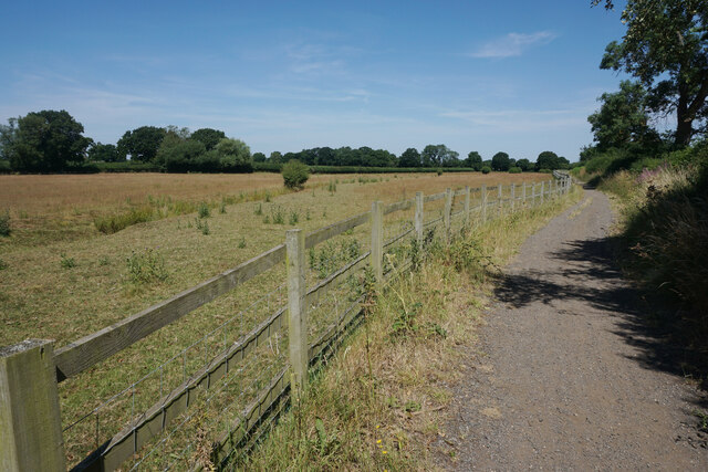
Terrace Hill Wood is a picturesque woodland located in Warwickshire, England. Spanning over a vast area, this enchanting forest is a popular destination for nature lovers and outdoor enthusiasts alike. The wood is characterized by its diverse range of trees, including oak, beech, ash, and birch, which create a beautiful tapestry of colors throughout the seasons.

The woodland is home to a rich variety of wildlife, making it a haven for animal lovers and birdwatchers. Visitors may spot deer, foxes, rabbits, and an array of bird species, such as woodpeckers, owls, and thrushes. The serene atmosphere and the peaceful sounds of nature make Terrace Hill Wood an ideal spot for relaxation and contemplation.

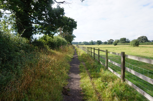
The wood offers numerous walking trails that wind through its dense foliage, allowing visitors to explore its hidden corners and discover its natural beauty. Along these paths, one may stumble upon babbling brooks, small ponds, and charming clearings, perfect for picnics or quiet moments of reflection. The wood also features a small stream, where visitors can dip their feet or simply enjoy the soothing sounds of running water.

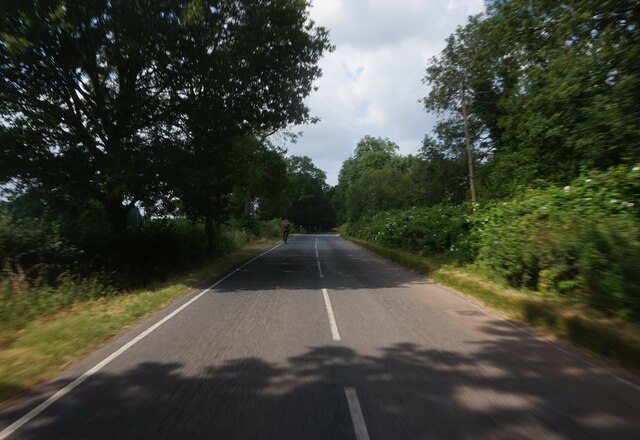
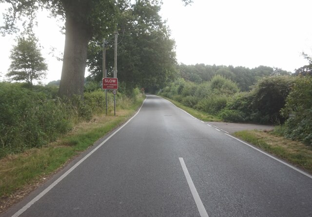
Terrace Hill Wood is easily accessible, with ample parking available nearby. It is a well-maintained and well-marked area, ensuring visitors can navigate the wood without difficulty. Whether it's a leisurely stroll, a family outing, or a peaceful retreat, Terrace Hill Wood offers a tranquil and idyllic escape from the hustle and bustle of everyday life.

If you have any feedback on the listing, please let us know in the comments section below.

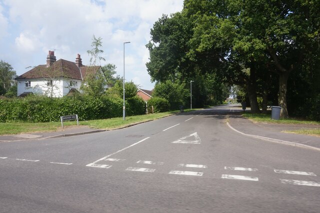
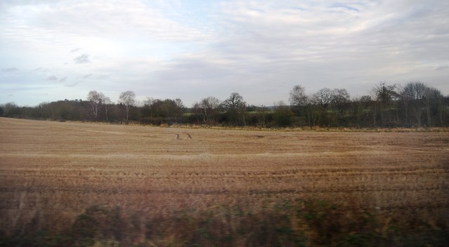
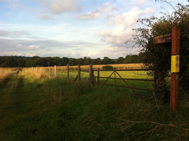
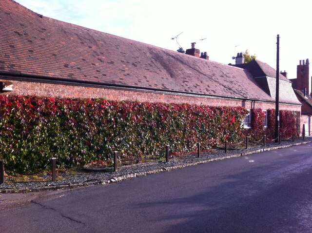
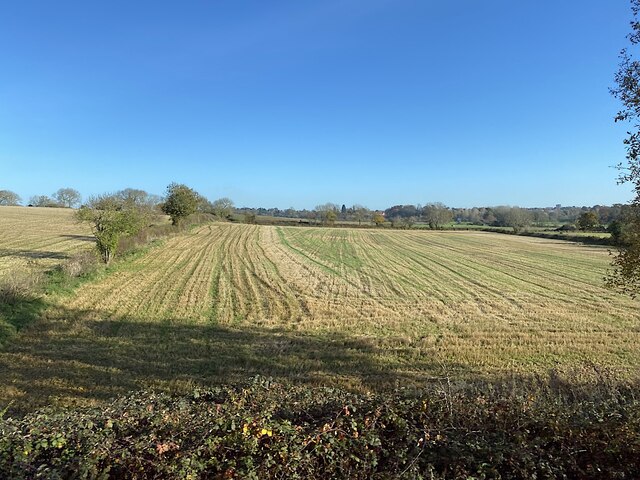
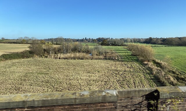
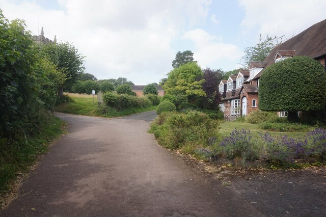
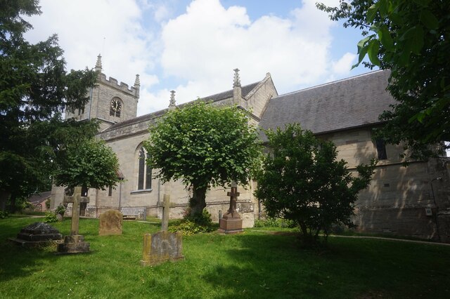
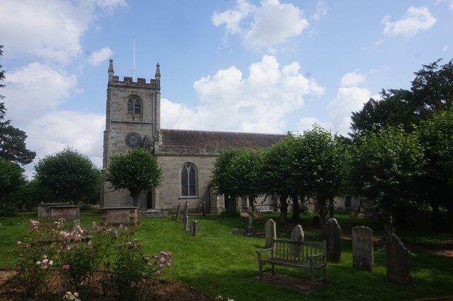
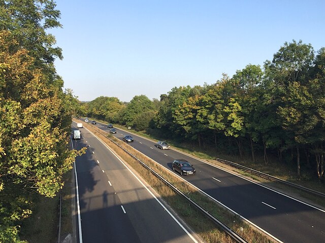
Terrace Hill Wood Images

Images are sourced within 2km of 52.315797/-1.5855838 or Grid Reference SP2868. Thanks to Geograph Open Source API. All images are credited.

Rounds Hill off Mortimer Road
Centenary Way towards Kenilworth Viewed during a heatwave and the vegetation is showing some signs. It is entirely flat until you get to Kenilworth. A yellowhammer settled on the path just along this stretch but I wasn't quick enough with my camera.
Centenary Way towards Kenilworth
Viewed during a heatwave and the vegetation is showing some signs. It is entirely flat until you get to Kenilworth. A yellowhammer settled on the path just along this stretch but I wasn't quick enough with my camera.
A46 south of Thickthorn junction
Farmland south of Kenilworth
Footpath from Hill Wootton village to Wootton Spinnies and Kenilworth Road The direction of the path is indicated by a signpost of the distinctive design of the Kenilworth Footpaths Preservation Group. Wootton Spinnies by the River Avon can be seen on the horizon.
Footpath from Hill Wootton village to Wootton Spinnies and Kenilworth Road
The direction of the path is indicated by a signpost of the distinctive design of the Kenilworth Footpaths Preservation Group. Wootton Spinnies by the River Avon can be seen on the horizon.
Wall with Virginia creeper, Hill Wootton Road This well-covered wall, and an unusual mansard roof behind the telegraph pole giving it a rather French appearance, can be seen in Hill Wootton village.
Wall with Virginia creeper, Hill Wootton Road
This well-covered wall, and an unusual mansard roof behind the telegraph pole giving it a rather French appearance, can be seen in Hill Wootton village.
Stubble field, northern edge of the Avon valley Seen from a Coventry-Leamington Spa train. The Avon is to the right. In the distance is the Blackdown area north of Leamington.
Stubble field, northern edge of the Avon valley
Seen from a Coventry-Leamington Spa train. The Avon is to the right. In the distance is the Blackdown area north of Leamington.
A pond and a ditch in the Avon floodplain north of Leamington The River Avon runs by the trees on the right. The suburb of Blackdown is in the distance. The view is from a Coventry-Leamington Spa train on a viaduct.
A pond and a ditch in the Avon floodplain north of Leamington
The River Avon runs by the trees on the right. The suburb of Blackdown is in the distance. The view is from a Coventry-Leamington Spa train on a viaduct.
Gypsy Lane Gypsy Lane off Rouncil Lane is a very narrow lane in a very desirable suburb of Kenilworth.
Gypsy Lane
Gypsy Lane off Rouncil Lane is a very narrow lane in a very desirable suburb of Kenilworth.
Centenary Way towards Rouncil Lane
Oak Tree by the junction of Beechwood Croft and Rounds Hill
Rouncil Lane towards Woodcote Lane
Woodcote Lane towards Leek Wotton
Quarry Close, Leek Wotton
Church Lane, Leek Wotton
All Saints Church, Leek Wotton
All Saints Church, Leek Wootton
A46 near Loes Farm, Guy's Cliffe, Warwick This view is the nearest possible re-creation of the first photo submitted for the grid square SP2867, by David Stowell in 2005 <a href="https://www.geograph.org.uk/photo/6169">SP2867 : Loes Farm</a>. His viewpoint is now inaccessible and the trees have grown up, obscuring the view of the farmhouse.
A46 near Loes Farm, Guy's Cliffe, Warwick
This view is the nearest possible re-creation of the first photo submitted for the grid square SP2867, by David Stowell in 2005 SP2867 : Loes Farm. His viewpoint is now inaccessible and the trees have grown up, obscuring the view of the farmhouse.
Show me another place!

Terrace Hill Wood is located at Grid Ref: SP2868 (Lat: 52.315797, Lng: -1.5855838)

Administrative County: Warwickshire

District: Warwick

Police Authority: Warwickshire

What 3 Words

///fillings.toads.windy. Near Leek Wootton, Warwickshire

Nearby Locations

Terrace Hill Wood

Related Wikis

Nearby Amenities

Located within 500m of 52.315797,-1.5855838
Barrier: kissing_gate
Lat/Long: 52.3170649/-1.5829052
Barrier: stile
Lat/Long: 52.3147088/-1.5790637
Barrier: kissing_gate
Lat/Long: 52.3170373/-1.5799351
Golf: pin
Lat/Long: 52.3141766/-1.5893038
Golf: pin
Lat/Long: 52.3132404/-1.5911041
Golf: pin
Lat/Long: 52.3165916/-1.5924292
Golf: pin
Lat/Long: 52.3178499/-1.5838658
Golf: pin
Lat/Long: 52.3170239/-1.5904792
Crossing
Crossing: marked
Lat/Long: 52.3169812/-1.5900651
Golf: pin
Lat/Long: 52.3167081/-1.5839856
Golf: pin
Lat/Long: 52.3159977/-1.590277
Golf: pin
Lat/Long: 52.3153777/-1.5885095
Golf: pin
Lat/Long: 52.3173921/-1.5924195
Golf: pin
Lat/Long: 52.3139598/-1.5875808
Golf: pin
Lat/Long: 52.313492/-1.5818956
Golf: pin
Lat/Long: 52.3157428/-1.5840116
Golf: pin
Lat/Long: 52.3154136/-1.5870236
Golf: pin
Lat/Long: 52.3131664/-1.58258
The data included in this document is from www.openstreetmap.org. The data is made available under ODbL.

Have you been to Terrace Hill Wood?

Leave your review of Terrace Hill Wood below (or comments, questions and feedback).