Windmill Hill
Hill, Mountain in Yorkshire
England
Windmill Hill

Windmill Hill is a prominent geographical feature located in the county of Yorkshire, England. Situated near the village of Emley Moor, this hill stands at an impressive height of approximately 250 meters (820 feet) above sea level. Despite being referred to as a hill, its substantial elevation has led some to classify it as a small mountain.
The name Windmill Hill originates from the historical presence of a windmill that once stood atop its summit. This windmill, which has long since been dismantled, provided a vital source of power for the local community during the 18th and 19th centuries. Today, no trace of the windmill remains, but the hill's name serves as a testament to its past significance.
The hill offers breathtaking panoramic views of the surrounding countryside, including the picturesque Yorkshire Dales and the rolling hills of the Pennines. Its elevated position makes it an excellent vantage point for taking in the natural beauty of the region, attracting both locals and tourists alike.
Windmill Hill is also known for its rich history and archaeological significance. Excavations conducted in the area have uncovered various artifacts, including pottery fragments and tools, dating back to the Iron Age. These discoveries provide valuable insights into the early human settlements that once thrived in the region.
Visitors to Windmill Hill can enjoy hiking trails that lead to its summit, providing an opportunity to immerse themselves in the stunning landscapes and experience the area's natural beauty firsthand.
If you have any feedback on the listing, please let us know in the comments section below.
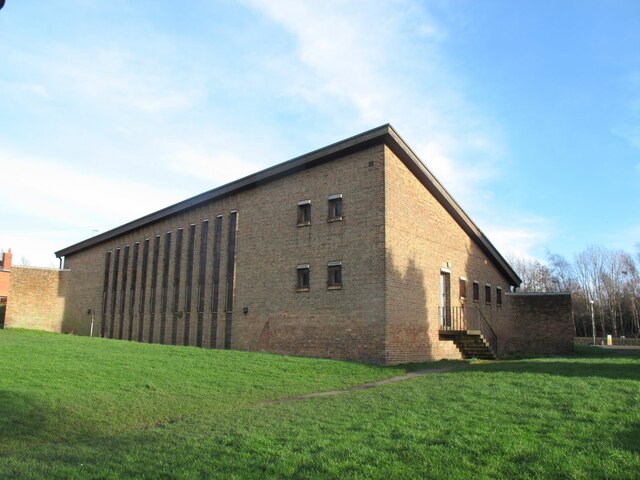
Windmill Hill Images
Images are sourced within 2km of 53.772359/-1.5737351 or Grid Reference SE2830. Thanks to Geograph Open Source API. All images are credited.


Windmill Hill is located at Grid Ref: SE2830 (Lat: 53.772359, Lng: -1.5737351)
Division: West Riding
Unitary Authority: Leeds
Police Authority: West Yorkshire
What 3 Words
///deaf.salsa.shot. Near Holbeck, West Yorkshire
Nearby Locations
Related Wikis

Elland Road Greyhound Stadium
Elland Road Greyhound Stadium also known as Leeds Greyhound Stadium was a greyhound racing stadium in Leeds, West Yorkshire. The stadium is not to be confused...
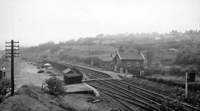
Beeston railway station (West Yorkshire)
Beeston railway station (West Yorkshire) was a railway station situated on the Great Northern Railway on the southern outskirts of Leeds, England. ��2...
Recreation Ground (Holbeck)
The Recreation Ground, Holbeck held eight first class cricket matches [1]. Yorkshire CCC played 3 county championship games at the site, including a Roses...
Fullerton Park
Fullerton Park was a former speedway and greyhound track in Leeds. == Origins and Opening == Fullerton Park Stadium originally known as 'The Kennels' was...
Nearby Amenities
Located within 500m of 53.772359,-1.5737351Have you been to Windmill Hill?
Leave your review of Windmill Hill below (or comments, questions and feedback).