Mill Shaw
Settlement in Yorkshire
England
Mill Shaw

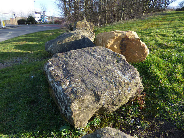
Mill Shaw is a small village located in the county of Yorkshire, England. Situated in the picturesque countryside, it is known for its tranquil and idyllic setting. The village is surrounded by rolling hills, lush green fields, and charming rural landscapes, making it a popular destination for nature lovers and outdoor enthusiasts.
Mill Shaw is home to a close-knit community, with a population of approximately 500 residents. The village has a rich history dating back several centuries, and remnants of its past can still be seen in the form of traditional stone buildings and quaint cottages. The village retains its old-world charm, offering a glimpse into rural life in Yorkshire.
Despite its small size, Mill Shaw boasts a number of amenities for its residents and visitors. These include a village hall, a local pub, and a primary school. The village hall serves as a hub for community gatherings and events, while the pub is a popular meeting spot for locals and tourists alike. The primary school provides education for children in the village and surrounding areas.
Mill Shaw is also ideally located for those seeking outdoor activities. The surrounding countryside offers ample opportunities for hiking, cycling, and exploring the natural beauty of the area. The village is also within close proximity to several tourist attractions, including historic landmarks and cultural sites.
In summary, Mill Shaw is a charming village in Yorkshire, renowned for its scenic surroundings, rich history, and strong sense of community. It offers a peaceful retreat from the hustle and bustle of city life, making it an appealing destination for those seeking a taste of rural England.
If you have any feedback on the listing, please let us know in the comments section below.
Mill Shaw Images
Images are sourced within 2km of 53.766483/-1.57291 or Grid Reference SE2830. Thanks to Geograph Open Source API. All images are credited.


Mill Shaw is located at Grid Ref: SE2830 (Lat: 53.766483, Lng: -1.57291)
Division: West Riding
Unitary Authority: Leeds
Police Authority: West Yorkshire
What 3 Words
///care.beside.leave. Near Holbeck, West Yorkshire
Nearby Locations
Related Wikis
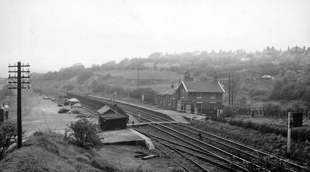
Beeston railway station (West Yorkshire)
Beeston railway station (West Yorkshire) was a railway station situated on the Great Northern Railway on the southern outskirts of Leeds, England. ��2...

Elliott Hudson College
Elliott Hudson College is a sixth form located in the Beeston area of Leeds, West Yorkshire, England. The college offers A-Level courses for up to 1000...

Churwell railway station
Churwell railway station served the village of Churwell, West Yorkshire, England from 1848 to 1940 on the Huddersfield line. == History == The station...
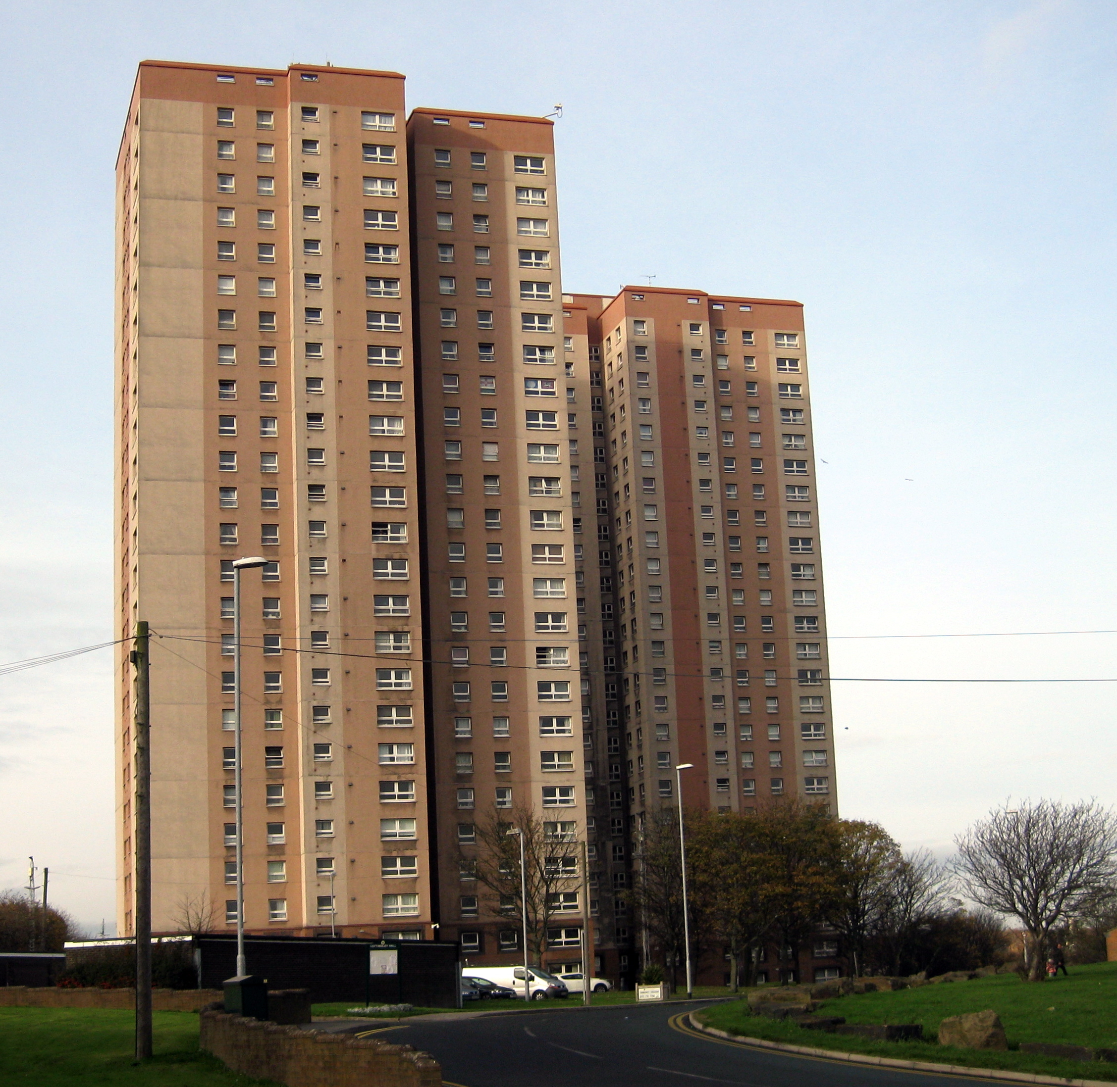
Cottingley Towers and Cottingley Heights
Cottingley Towers & Cottingley Heights are twin high-rise towers of rented-flat accommodation on top of a hill in Cottingley, Leeds, West Yorkshire, England...
Nearby Amenities
Located within 500m of 53.766483,-1.57291Have you been to Mill Shaw?
Leave your review of Mill Shaw below (or comments, questions and feedback).