Coplow Hill

Hill, Mountain in Warwickshire Warwick

England

Coplow Hill

Meadow Court Farm and fields, Lower Fulbrook: aerial 2021
Meadow Court Farm and fields, Lower Fulbrook: aerial 2021 Credit: Simon Tomson

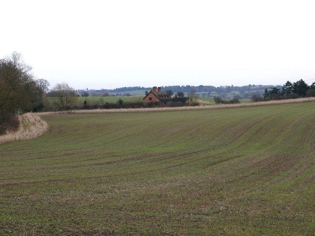
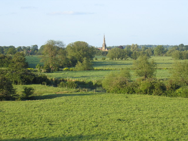
Coplow Hill is a prominent geographical feature located in Warwickshire, England. It is classified as a hill rather than a mountain due to its relatively modest elevation. The hill is situated in the northwestern part of the county, near the village of Shustoke.

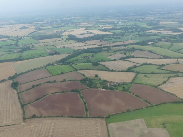
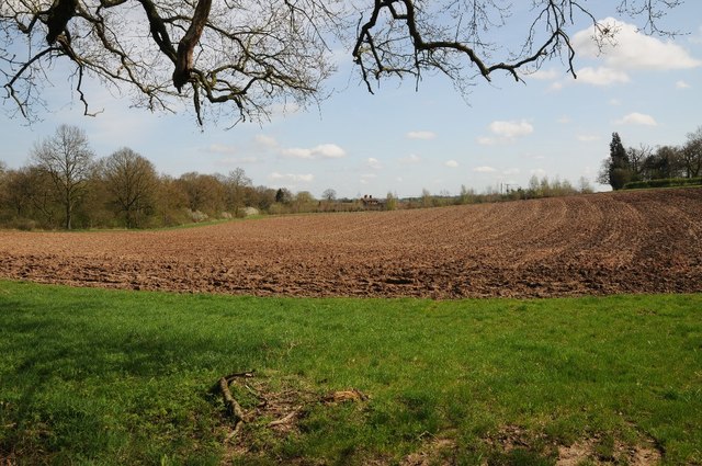
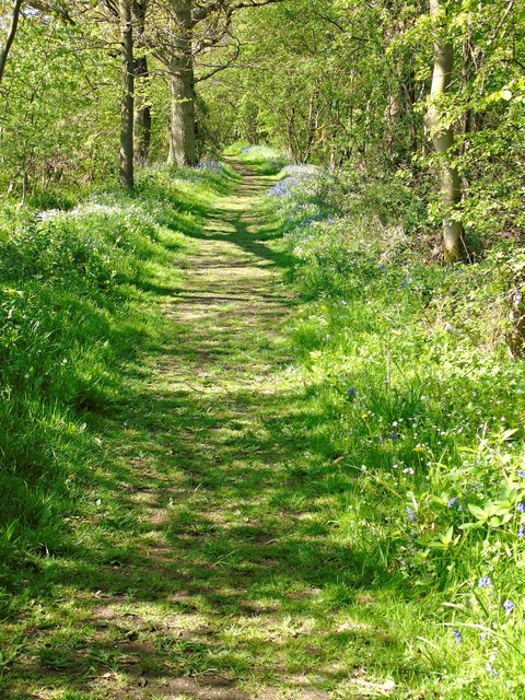
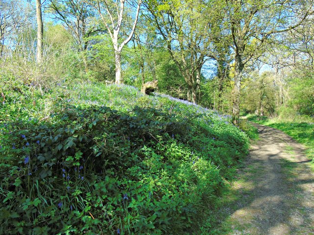
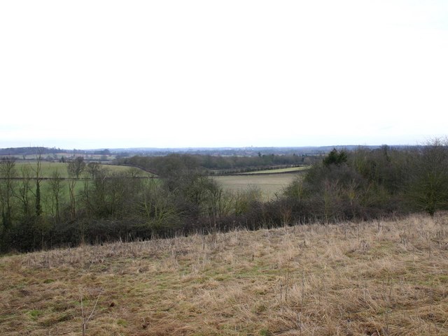
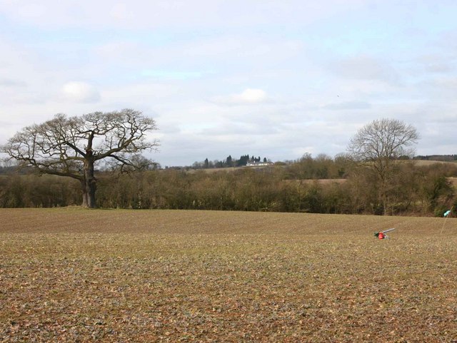
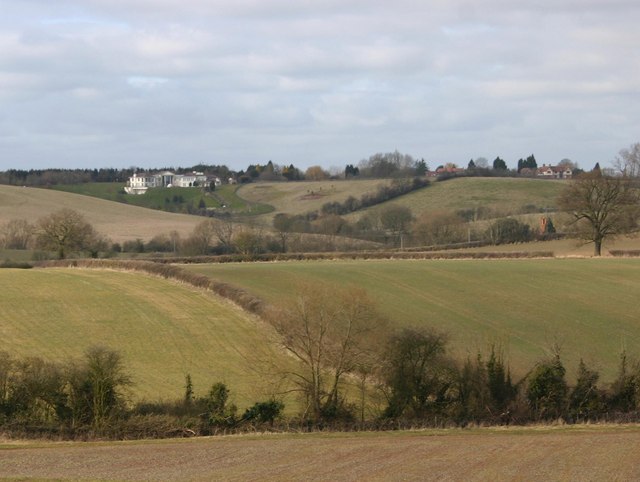
At approximately 153 meters (502 feet) above sea level, Coplow Hill offers breathtaking panoramic views of the surrounding countryside. The hill is characterized by its gently sloping sides, covered in lush grass and scattered with shrubs and trees. The vegetation on the hill is predominantly composed of hardy plants that can thrive in the slightly acidic soil.

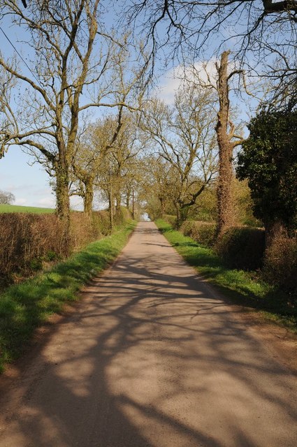
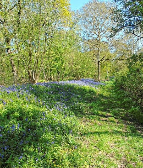
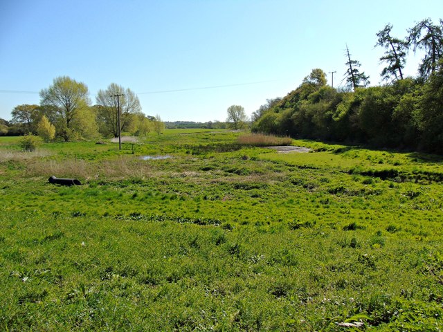
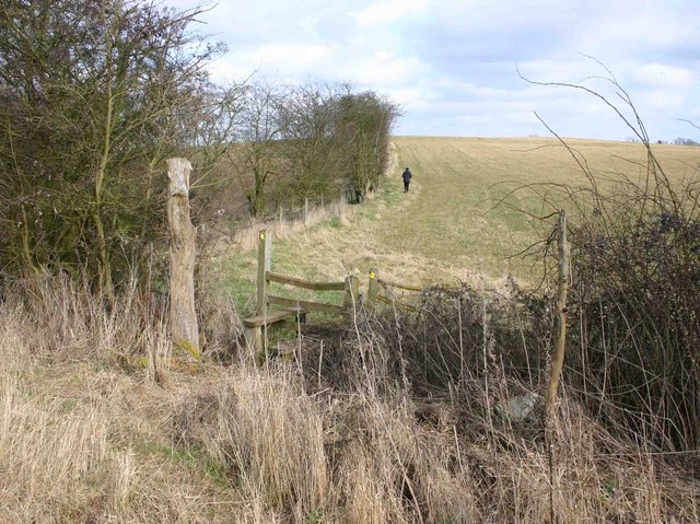
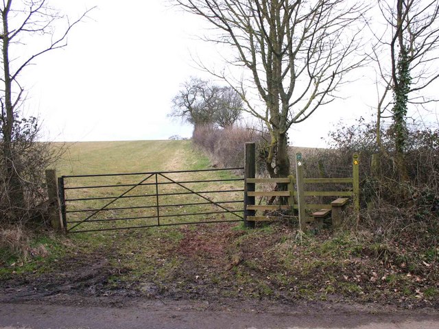
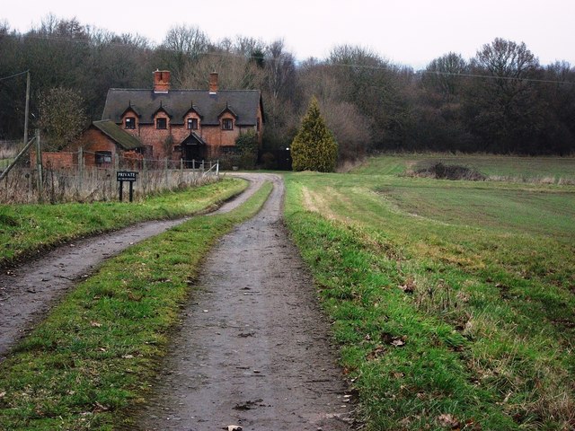
The area surrounding Coplow Hill is predominantly agricultural, with fields extending in all directions. The hill itself serves as a natural landmark, providing a distinctive feature in an otherwise flat landscape. It is a popular spot for leisure activities such as walking, picnicking, and photography, attracting both locals and tourists alike.

In addition to its natural beauty, Coplow Hill also holds historical significance. It is believed to have been a strategic vantage point during ancient times, offering a commanding view of the surrounding area. There is evidence of Iron Age settlements nearby, suggesting that the hill may have played a role in ancient communities.

Overall, Coplow Hill is a picturesque and historically significant hill in Warwickshire. Its beauty, combined with its historical and geographical significance, make it a notable destination for nature enthusiasts and those interested in the region's past.

If you have any feedback on the listing, please let us know in the comments section below.

Coplow Hill Images

Images are sourced within 2km of 52.251177/-1.6298817 or Grid Reference SP2561. Thanks to Geograph Open Source API. All images are credited.

Meadow Court Farm and fields, Lower Fulbrook: aerial 2021
Farmland beside Hampton Wood Farmland beside Hampton Wood to the north of Hampton Lucy.
Farmland beside Hampton Wood
Farmland beside Hampton Wood to the north of Hampton Lucy.
Country road passing Hampton Wood Country road between Hampton Lucy and Sherbourne passing Hampton Wood.
Country road passing Hampton Wood
Country road between Hampton Lucy and Sherbourne passing Hampton Wood.
Track through Hampton Wood
Perimeter path around Hampton Wood
Track through Hampton Wood
Hampton Wood Meadow
Hampton Wood Meadow
Hampton Wood from Copdock Hill View North from near the top of Copdock Hill towards Hampton Wood.
Hampton Wood from Copdock Hill
View North from near the top of Copdock Hill towards Hampton Wood.
Wood Cottages, Hampton Wood View East from the lane from Hampton Lucy to Sherbourne towards Wood Cottages with Hampton Wood on the left.
Wood Cottages, Hampton Wood
View East from the lane from Hampton Lucy to Sherbourne towards Wood Cottages with Hampton Wood on the left.
Stile on the footpath to Hampton Wood View East over a stile on the path from Meadow Court Farm to Hampton Wood.
Stile on the footpath to Hampton Wood
View East over a stile on the path from Meadow Court Farm to Hampton Wood.
Footpath to Meadow Court Farm from Hampton Wood Looking west where the footpath to Meadow Court Farm leaves the lane from Hampton Lucy to Sherbourne, opposite Hampton Wood.
Footpath to Meadow Court Farm from Hampton Wood
Looking west where the footpath to Meadow Court Farm leaves the lane from Hampton Lucy to Sherbourne, opposite Hampton Wood.
View towards Meadow Court Farm Looking WNW from the footpath to Meadow Court Farm towards the farm in the distance. In the foreground to the right is a bird scarer. It appeared to be powered by a small propane bottle, and periodically made an explosive bang. There were no birds to be seen anywhere, so it must have been working.
View towards Meadow Court Farm
Looking WNW from the footpath to Meadow Court Farm towards the farm in the distance. In the foreground to the right is a bird scarer. It appeared to be powered by a small propane bottle, and periodically made an explosive bang. There were no birds to be seen anywhere, so it must have been working.
View NNW from the footpath to Meadow Court Farm A view of the extensive farmland in this area. The large, white building on the left in the distance is at <a href="https://www.geograph.org.uk/gridref/SP245609">SP245609</a>. It is a modern classical style house called 'Palladio' with access from the A46 dual carriageway. <span class="nowrap"><a title="http://apps.stratford.gov.uk/eplanning/AppDetail.aspx?appkey=L6BBUMPM04S00" rel="nofollow ugc noopener" href="http://apps.stratford.gov.uk/eplanning/AppDetail.aspx?appkey=L6BBUMPM04S00">Link</a><img style="margin-left:2px;" alt="External link" title="External link - shift click to open in new window" src="https://s1.geograph.org.uk/img/external.png" width="10" height="10"/></span>
View NNW from the footpath to Meadow Court Farm
A view of the extensive farmland in this area. The large, white building on the left in the distance is at SP245609. It is a modern classical style house called 'Palladio' with access from the A46 dual carriageway. LinkExternal link
Wood Cottages, Hampton Wood
The Glebe Hotel, Barford
St Peter's Church, Barford
Joseph Arch public house, Barford
Show me another place!

Coplow Hill is located at Grid Ref: SP2561 (Lat: 52.251177, Lng: -1.6298817)

Administrative County: Warwickshire

District: Warwick

Police Authority: Warwickshire

What 3 Words

///longer.bond.allowable. Near Warwick, Warwickshire

Related Wikis

Sherbourne, Warwickshire

Sherbourne is a village and civil parish in the Warwick district of Warwickshire, England. The population of the civil parish at the 2011 Census was 174...

Fulbrook, Warwickshire

Fulbrook is a small parish and deserted village in Warwickshire, England, situated about 4 miles (6 km) north-east of Stratford upon Avon. Population details...

M40 minibus crash

On 18 November 1993, just after midnight, a minibus was involved in a fatal collision with a maintenance vehicle on the M40 motorway near Warwick, England...

Longbridge Interchange

Longbridge Interchange (also known as Longbridge Island) is a major road and motorway junction between Warwick and Sherbourne, Warwickshire, connecting...

Barford, Warwickshire

Barford is a village and civil parish in the Warwick district of Warwickshire, England, about three miles south of Warwick. As at the 2001 census the parish...

RAF Warwick

RAF Warwick is a former Royal Air Force relief landing ground located 1.7 miles (2.7 km) south west of Warwick, Warwickshire, England. RAF Warwick was...

Norton Lindsey

Norton Lindsey is a village and civil parish in Warwickshire, England, 3.5 miles south-west of the tourist and county town of Warwick and a mile west of...
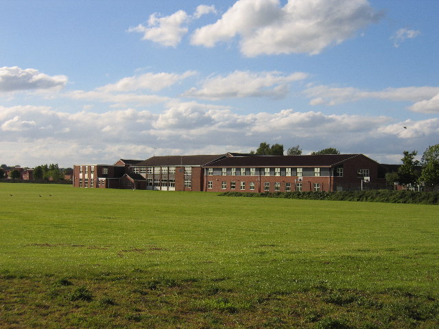
Aylesford School

Aylesford School and Sixth Form College is a coeducational all-through school and sixth form located in Warwick, England. It was constructed on part of...

Nearby Amenities

Located within 500m of 52.251177,-1.6298817
Brand: National Grid
Brand Wikidata: Q1465461
Material: wood
Operator: National Grid Electricity Distribution
Operator Old: Western Power Distribution
Operator Wikidata: Q7988183
Owner: National Grid Electricity Distribution (East Midlands) Plc
Owner Wikidata: Q114348127
Power: pole
Lat/Long: 52.2530324/-1.6363031
The data included in this document is from www.openstreetmap.org. The data is made available under ODbL.

Have you been to Coplow Hill?

Leave your review of Coplow Hill below (or comments, questions and feedback).