Tumbling Hill
Hill, Mountain in Derbyshire Derbyshire Dales
England
Tumbling Hill
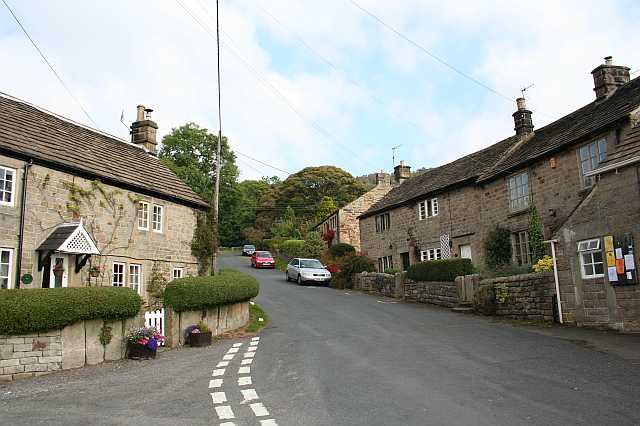
Tumbling Hill is a prominent natural feature located in Derbyshire, England. Standing at an elevation of approximately 400 meters (1312 feet), it is classified as a hill rather than a mountain. The hill is situated in the Peak District National Park, renowned for its picturesque landscapes and outdoor recreational opportunities.
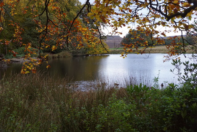
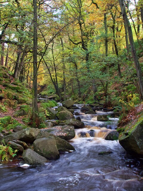
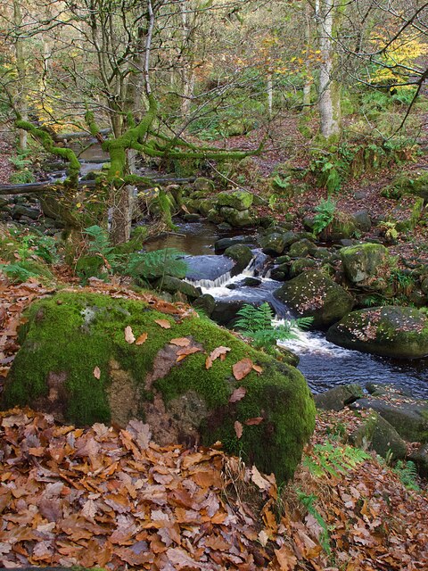
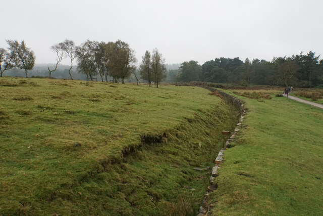
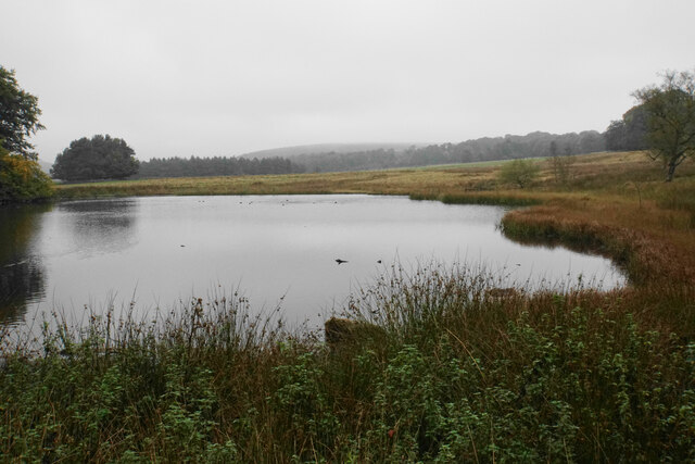
Tumbling Hill offers breathtaking panoramic views of the surrounding countryside, making it a popular destination for hikers, nature enthusiasts, and photographers. Its strategic position provides an excellent vantage point to witness the undulating peaks, deep valleys, and meandering rivers that characterize the region.
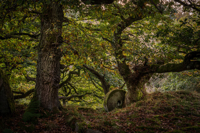
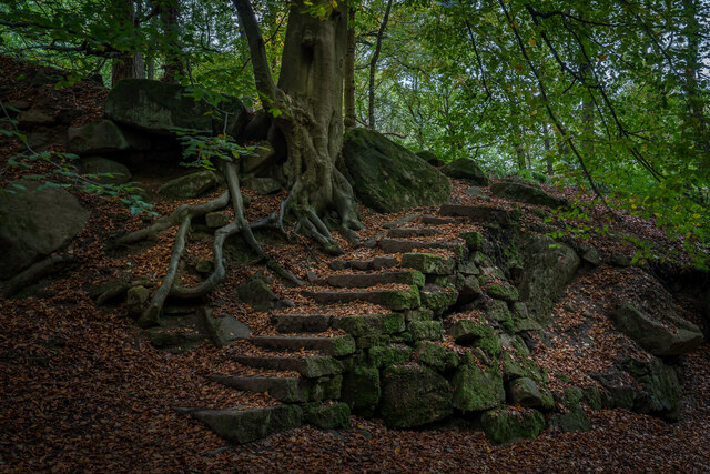
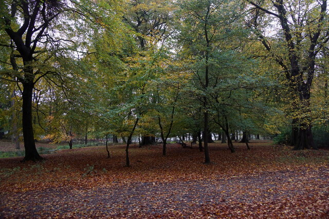
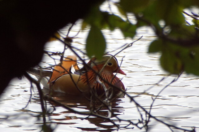
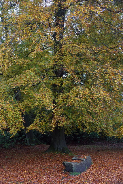
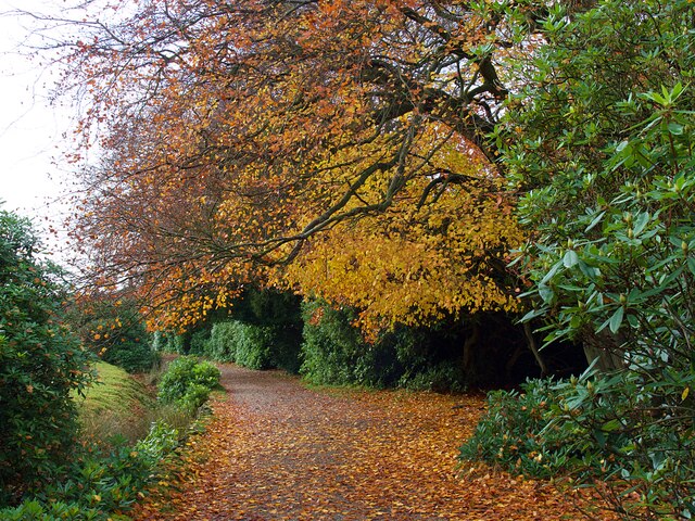
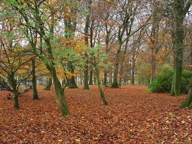
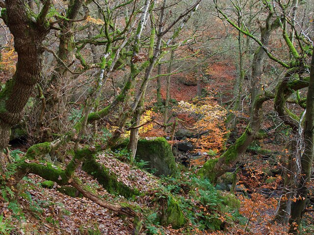
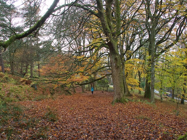
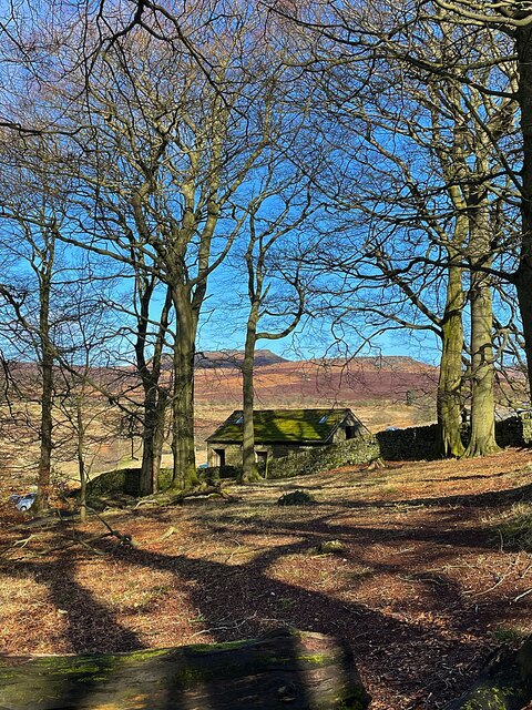
The hill is covered in a patchwork of vegetation, including grasses, heather, and scattered trees. The diverse flora attracts a variety of wildlife, including birds, small mammals, and insects, making it an ideal spot for wildlife observation.
Access to Tumbling Hill is relatively easy, with well-marked footpaths leading to the summit. The terrain can be challenging in some areas, with steep slopes and uneven surfaces, but the rewarding views make the effort worthwhile. Visitors are advised to wear appropriate footwear and take necessary precautions while hiking.
Tumbling Hill's location within the Peak District National Park ensures that it remains a protected natural site, preserving its beauty and ecological significance. It serves as a testament to the rich geological history of the area, with its formation dating back millions of years.
Overall, Tumbling Hill in Derbyshire is a captivating natural landmark that captivates visitors with its stunning vistas, diverse flora and fauna, and its connection to the surrounding landscape.
If you have any feedback on the listing, please let us know in the comments section below.
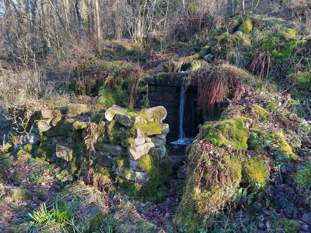
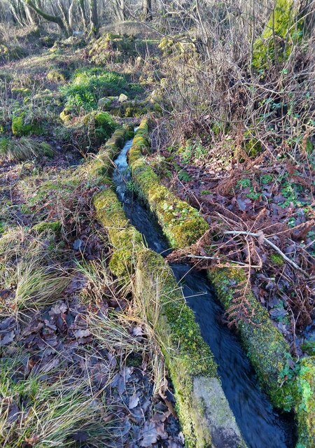
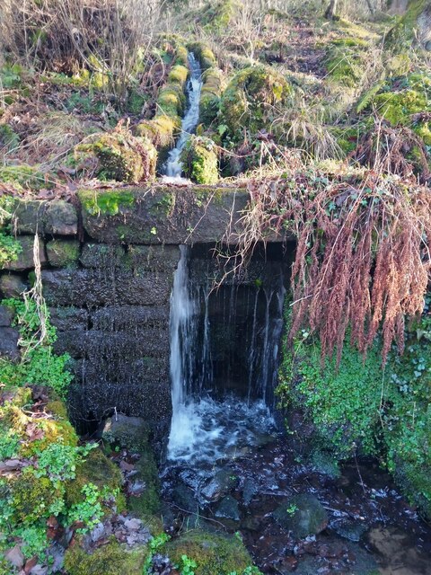
Tumbling Hill Images
Images are sourced within 2km of 53.299754/-1.6208857 or Grid Reference SK2578. Thanks to Geograph Open Source API. All images are credited.
Tumbling Hill is located at Grid Ref: SK2578 (Lat: 53.299754, Lng: -1.6208857)
Administrative County: Derbyshire
District: Derbyshire Dales
Police Authority: Derbyshire
What 3 Words
///slimy.humans.blitz. Near Hathersage, Derbyshire
Nearby Locations
Related Wikis

Padley Gorge
Padley Gorge is a deep but narrow valley in the Peak District, Derbyshire between the village of Grindleford and the A6187 road. The gorge is wooded with...
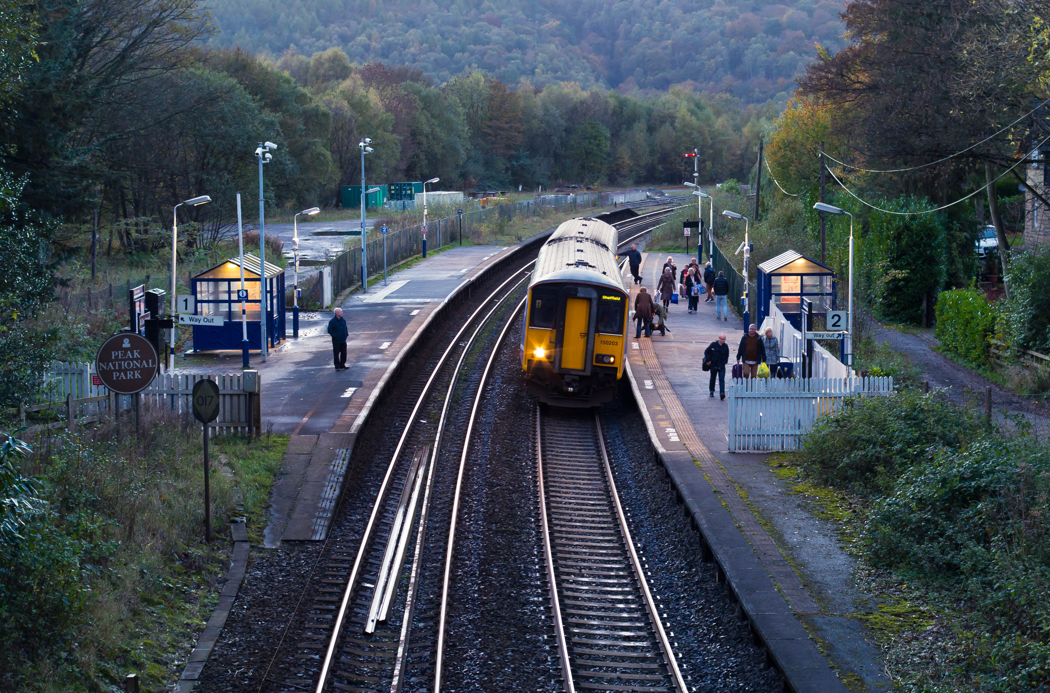
Grindleford railway station
Grindleford railway station serves the village of Grindleford in the Derbyshire Peak District, in England, although the station is about a mile way, the...

Padley Hall
Padley Hall (or Padley Manor) was an Elizabethan great house overlooking the River Derwent near Grindleford, Derbyshire, England. The remains of the hall...

Padley Chapel
Padley Chapel is a building in Grindleford, England, on the site of the former Padley Hall (or Padley Manor). It is a Grade I listed building. == Padley... ==

Burbage Brook
Burbage Brook is an upper tributary stream of the River Derwent in the Peak District of England. == Toponymy == The origin of the name is thought to derive...

Grindleford
Grindleford is a village and civil parish in the county of Derbyshire, in the East Midlands of England. The population of the civil parish as taken at...
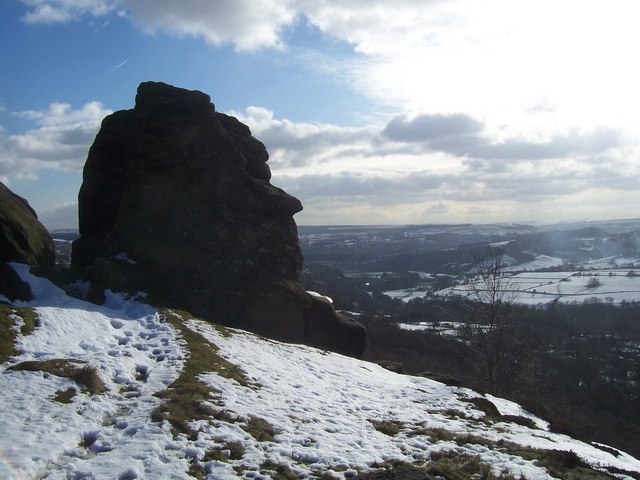
Froggatt Edge
Froggatt Edge is a gritstone escarpment in the Dark Peak area of the Peak District National Park, in Derbyshire, England, close to the villages of Froggatt...
Froggatt, Derbyshire
Froggatt is a village and a civil parish on the A625 road and the River Derwent in the English county of Derbyshire. The population of the civil parish...
Nearby Amenities
Located within 500m of 53.299754,-1.6208857Have you been to Tumbling Hill?
Leave your review of Tumbling Hill below (or comments, questions and feedback).