Church Farm Spinney

Wood, Forest in Warwickshire Warwick

England

Church Farm Spinney

Farmland beside Hampton Wood Farmland beside Hampton Wood to the north of Hampton Lucy.
Farmland beside Hampton Wood Credit: Philip Halling

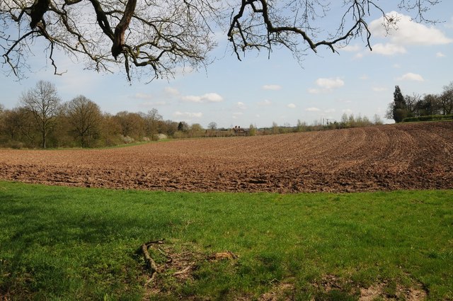
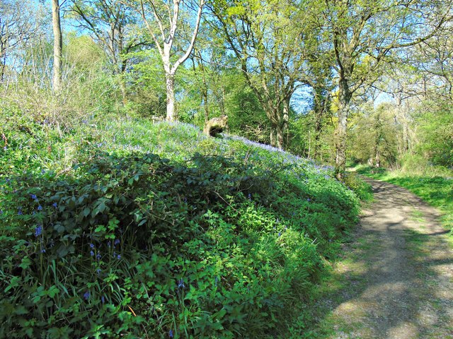
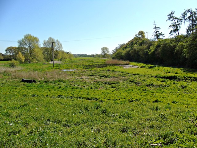
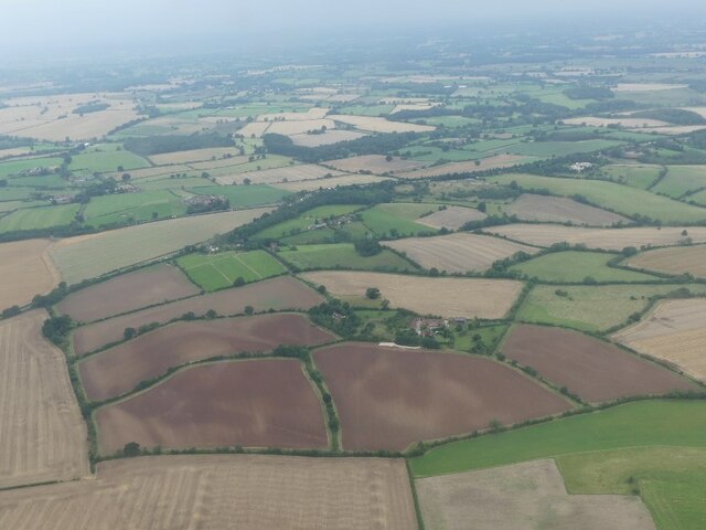
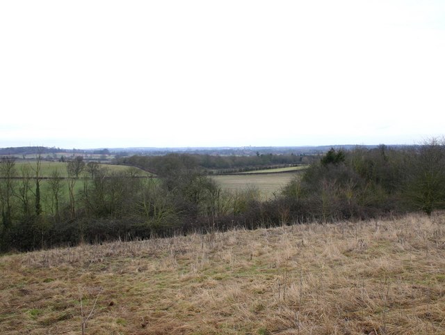
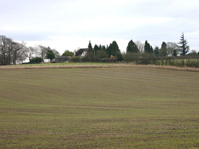
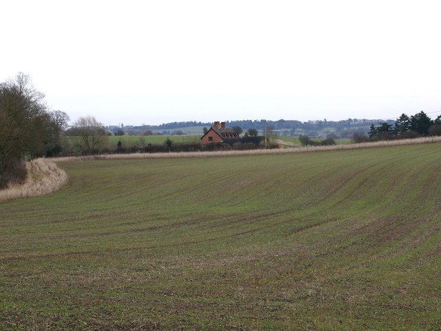
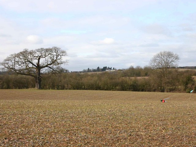
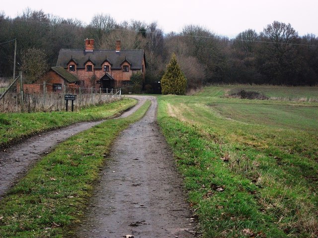
Church Farm Spinney is a picturesque woodland area located in Warwickshire, England. Covering an approximate area of 50 acres, it is situated near the village of Church Lawford. The spinney is characterized by a diverse range of tree species, including oak, ash, beech, and birch, which form a dense canopy overhead.

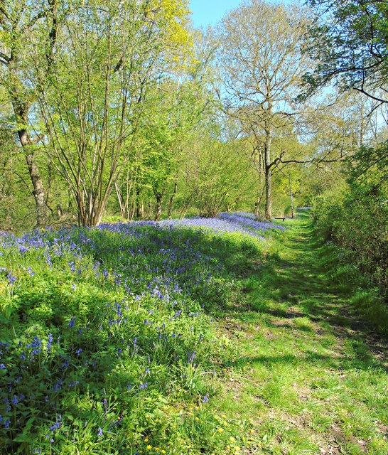
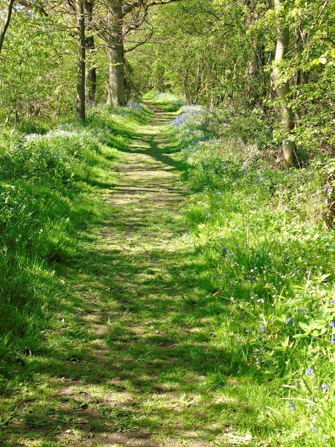
The woodland's rich biodiversity is further enhanced by the presence of various flora and fauna. Bluebells, wild garlic, and wood anemones carpet the forest floor during spring, creating a vibrant display of colors. The spinney is also home to a variety of bird species, such as woodpeckers, robins, and finches, which can be heard singing throughout the year.

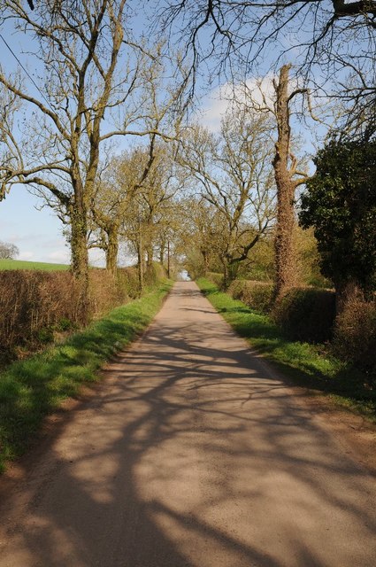
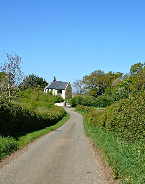
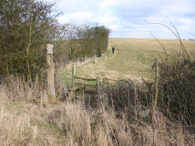
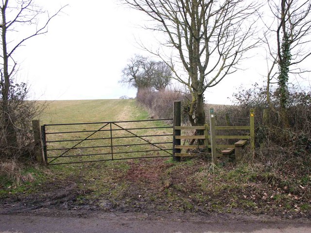
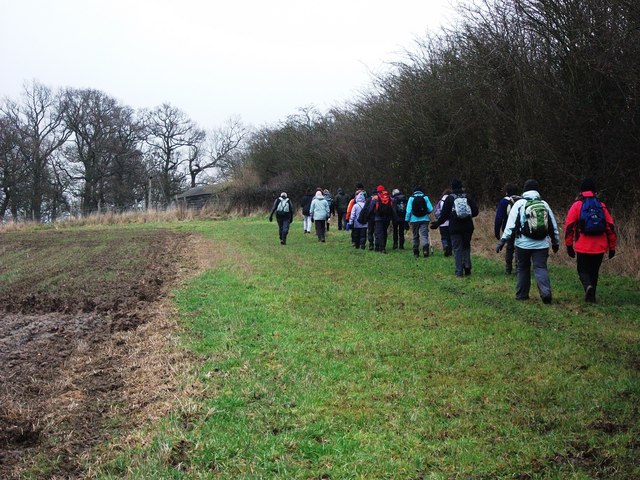
Walking trails wind through the spinney, offering visitors the opportunity to explore the natural beauty of the area. These trails are well-maintained and provide a comfortable walking experience for individuals of all ages. Additionally, benches are strategically placed along the paths, allowing visitors to rest and soak in the tranquil atmosphere.

Church Farm Spinney is a popular destination for nature enthusiasts, hikers, and families alike. It offers a peaceful retreat from the hustle and bustle of everyday life, providing a serene environment for relaxation and contemplation. The spinney's proximity to the village of Church Lawford makes it easily accessible, making it an ideal location for short outings or longer walks.

Overall, Church Farm Spinney is a cherished natural gem in Warwickshire, offering visitors a chance to immerse themselves in the beauty of a woodland ecosystem and enjoy its many wonders.

If you have any feedback on the listing, please let us know in the comments section below.

Church Farm Spinney Images

Images are sourced within 2km of 52.25057/-1.6283048 or Grid Reference SP2561. Thanks to Geograph Open Source API. All images are credited.

Farmland beside Hampton Wood Farmland beside Hampton Wood to the north of Hampton Lucy.
Farmland beside Hampton Wood
Farmland beside Hampton Wood to the north of Hampton Lucy.
Country road passing Hampton Wood Country road between Hampton Lucy and Sherbourne passing Hampton Wood.
Country road passing Hampton Wood
Country road between Hampton Lucy and Sherbourne passing Hampton Wood.
Track through Hampton Wood
Perimeter path around Hampton Wood
Track through Hampton Wood
Hampton Wood Meadow
Hampton Wood Meadow
New build House, Fulbrook Lane
Meadow Court Farm and fields, Lower Fulbrook: aerial 2021
Hampton Wood from Copdock Hill View North from near the top of Copdock Hill towards Hampton Wood.
Hampton Wood from Copdock Hill
View North from near the top of Copdock Hill towards Hampton Wood.
The Thatched House View East from the Hampton Lucy to Sherbourne lane towards The Thatched House.
The Thatched House
View East from the Hampton Lucy to Sherbourne lane towards The Thatched House.
Wood Cottages, Hampton Wood View East from the lane from Hampton Lucy to Sherbourne towards Wood Cottages with Hampton Wood on the left.
Wood Cottages, Hampton Wood
View East from the lane from Hampton Lucy to Sherbourne towards Wood Cottages with Hampton Wood on the left.
Stile on the footpath to Hampton Wood View East over a stile on the path from Meadow Court Farm to Hampton Wood.
Stile on the footpath to Hampton Wood
View East over a stile on the path from Meadow Court Farm to Hampton Wood.
Footpath to Meadow Court Farm from Hampton Wood Looking west where the footpath to Meadow Court Farm leaves the lane from Hampton Lucy to Sherbourne, opposite Hampton Wood.
Footpath to Meadow Court Farm from Hampton Wood
Looking west where the footpath to Meadow Court Farm leaves the lane from Hampton Lucy to Sherbourne, opposite Hampton Wood.
View towards Meadow Court Farm Looking WNW from the footpath to Meadow Court Farm towards the farm in the distance. In the foreground to the right is a bird scarer. It appeared to be powered by a small propane bottle, and periodically made an explosive bang. There were no birds to be seen anywhere, so it must have been working.
View towards Meadow Court Farm
Looking WNW from the footpath to Meadow Court Farm towards the farm in the distance. In the foreground to the right is a bird scarer. It appeared to be powered by a small propane bottle, and periodically made an explosive bang. There were no birds to be seen anywhere, so it must have been working.
View NNW from the footpath to Meadow Court Farm A view of the extensive farmland in this area. The large, white building on the left in the distance is at <a href="https://www.geograph.org.uk/gridref/SP245609">SP245609</a>. It is a modern classical style house called 'Palladio' with access from the A46 dual carriageway. <span class="nowrap"><a title="http://apps.stratford.gov.uk/eplanning/AppDetail.aspx?appkey=L6BBUMPM04S00" rel="nofollow ugc noopener" href="http://apps.stratford.gov.uk/eplanning/AppDetail.aspx?appkey=L6BBUMPM04S00">Link</a><img style="margin-left:2px;" alt="External link" title="External link - shift click to open in new window" src="https://s1.geograph.org.uk/img/external.png" width="10" height="10"/></span>
View NNW from the footpath to Meadow Court Farm
A view of the extensive farmland in this area. The large, white building on the left in the distance is at SP245609. It is a modern classical style house called 'Palladio' with access from the A46 dual carriageway. LinkExternal link
Walking along a footpath near The Thatched House, Copdock Hill
Wood Cottages, Hampton Wood
The Glebe Hotel, Barford
Show me another place!

Church Farm Spinney is located at Grid Ref: SP2561 (Lat: 52.25057, Lng: -1.6283048)

Administrative County: Warwickshire

District: Warwick

Police Authority: Warwickshire

What 3 Words

///still.excavate.amplified. Near Warwick, Warwickshire

Related Wikis

Sherbourne, Warwickshire

Sherbourne is a village and civil parish in the Warwick district of Warwickshire, England. The population of the civil parish at the 2011 Census was 174...

Fulbrook, Warwickshire

Fulbrook is a small parish and deserted village in Warwickshire, England, situated about 4 miles (6 km) north-east of Stratford upon Avon. Population details...

Longbridge Interchange

Longbridge Interchange (also known as Longbridge Island) is a major road and motorway junction between Warwick and Sherbourne, Warwickshire, connecting...

M40 minibus crash

On 18 November 1993, just after midnight, a minibus was involved in a fatal collision with a maintenance vehicle on the M40 motorway near Warwick, England...

Barford, Warwickshire

Barford is a village and civil parish in the Warwick district of Warwickshire, England, about three miles south of Warwick. As at the 2001 census the parish...

RAF Warwick

RAF Warwick is a former Royal Air Force relief landing ground located 1.7 miles (2.7 km) south west of Warwick, Warwickshire, England. RAF Warwick was...

Norton Lindsey

Norton Lindsey is a village and civil parish in Warwickshire, England, 3.5 miles south-west of the tourist and county town of Warwick and a mile west of...
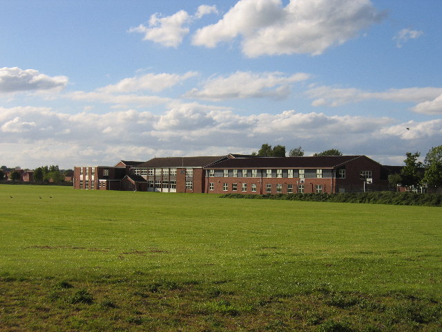
Aylesford School

Aylesford School and Sixth Form College is a coeducational all-through school and sixth form located in Warwick, England. It was constructed on part of...

Nearby Amenities

Located within 500m of 52.25057,-1.6283048
The data included in this document is from www.openstreetmap.org. The data is made available under ODbL.

Have you been to Church Farm Spinney?

Leave your review of Church Farm Spinney below (or comments, questions and feedback).