Oldfield Copse
Wood, Forest in Wiltshire
England
Oldfield Copse
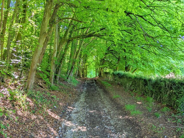
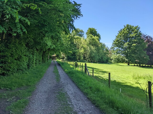
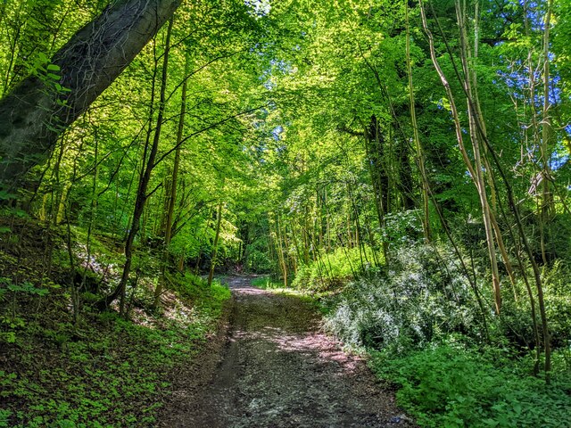
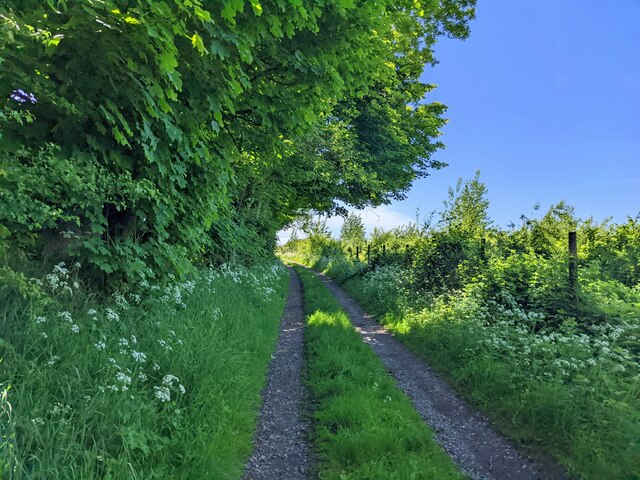
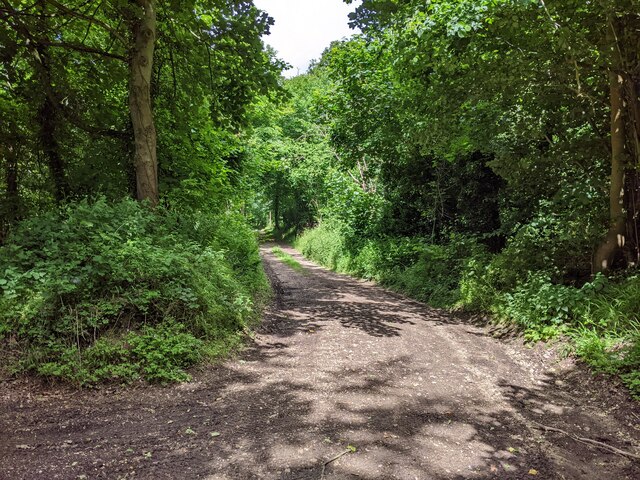
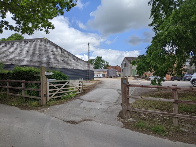
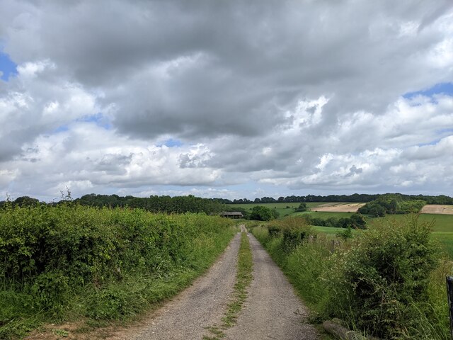
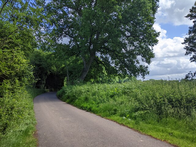
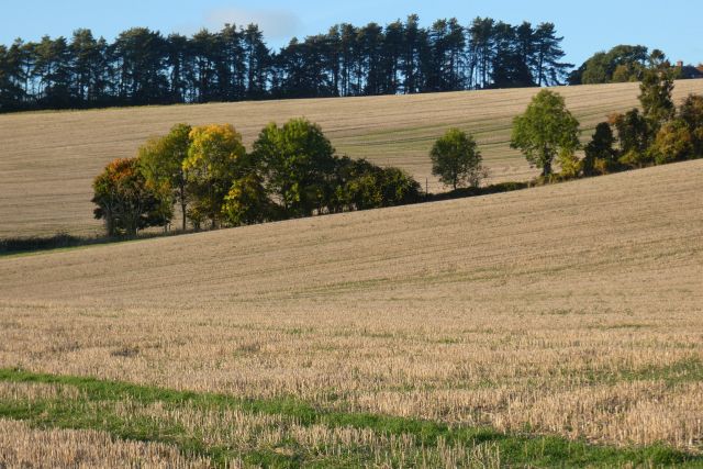
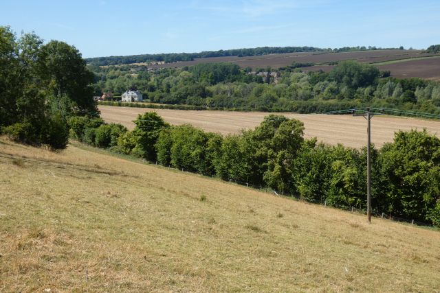
Oldfield Copse is a beautiful woodland located in the county of Wiltshire, England. It covers an area of approximately 50 hectares and is situated in the southern part of the county, near the village of Oldfield. The copse is predominantly composed of broadleaf trees, such as oak, beech, and ash, creating a diverse and vibrant woodland ecosystem.
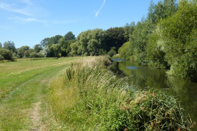
The site is known for its rich biodiversity, with a variety of flora and fauna thriving within its boundaries. Bluebells carpet the forest floor in spring, adding a burst of color to the landscape. The dense canopy of trees provides a habitat for numerous bird species, including woodpeckers, nightingales, and tawny owls. Squirrels can be seen darting through the branches, while badgers and foxes roam the forest floor.
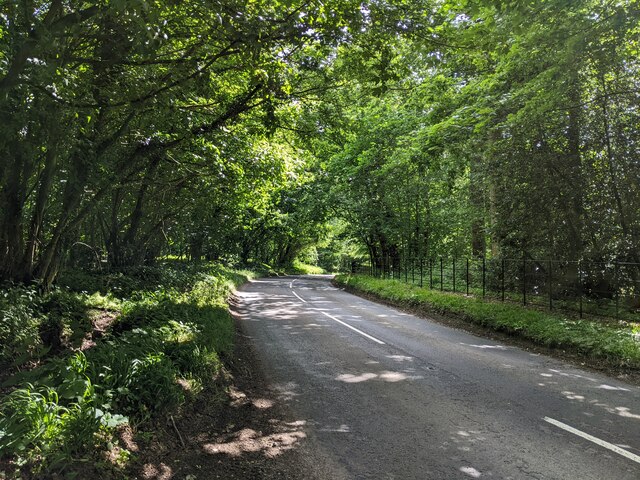
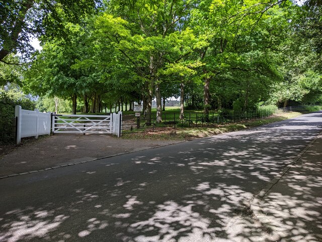
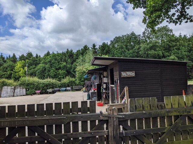
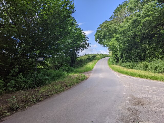
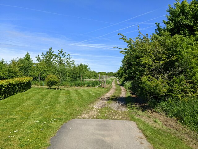
Oldfield Copse is a popular destination for nature enthusiasts and hikers alike. It offers a network of well-maintained footpaths, allowing visitors to explore the woodland and enjoy its tranquil atmosphere. The copse is also home to several ancient trees, some of which are believed to be over 400 years old, providing a glimpse into the area's rich history.
The management of Oldfield Copse is overseen by the local conservation authority, which ensures the preservation of its natural beauty and biodiversity. This includes carefully managing the woodlands through selective tree felling and replanting to maintain a healthy and sustainable ecosystem.
In summary, Oldfield Copse in Wiltshire is a picturesque woodland, teeming with diverse flora and fauna. Its ancient trees, vibrant bluebells, and peaceful atmosphere make it a haven for nature lovers and a valuable asset to the local community.
If you have any feedback on the listing, please let us know in the comments section below.
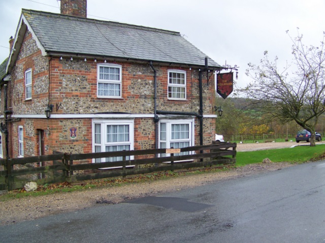
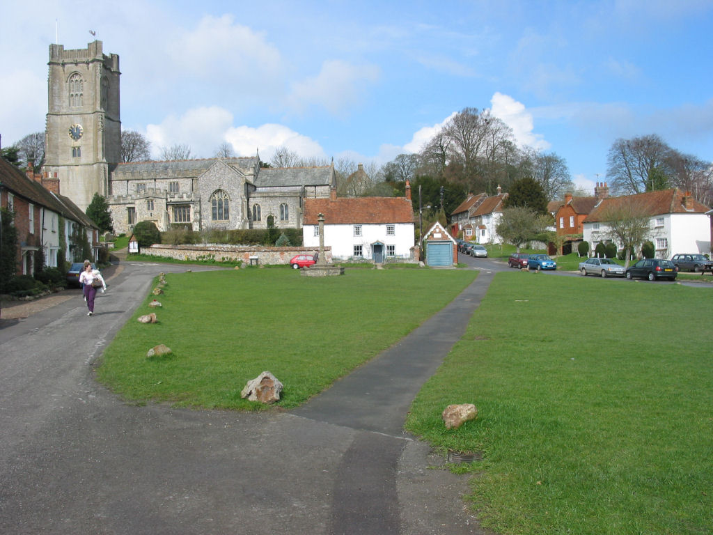
Oldfield Copse Images
Images are sourced within 2km of 51.442284/-1.6347259 or Grid Reference SU2571. Thanks to Geograph Open Source API. All images are credited.
Oldfield Copse is located at Grid Ref: SU2571 (Lat: 51.442284, Lng: -1.6347259)
Unitary Authority: Wiltshire
Police Authority: Wiltshire
What 3 Words
///hinders.disengage.priced. Near Ramsbury, Wiltshire
Nearby Locations
Related Wikis

Ramsbury Manor
Ramsbury Manor is a Grade I listed country house at Ramsbury, Wiltshire, on the River Kennet between Hungerford and Marlborough, in the south of England...
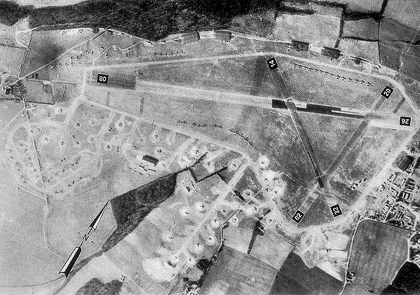
RAF Ramsbury
Royal Air Force Ramsbury or more simply RAF Ramsbury is a former Royal Air Force station, 5 miles (8 km) east-northeast of Marlborough, Wiltshire, England...
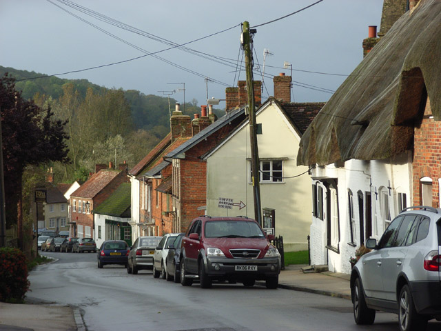
Ramsbury
Ramsbury is a village and civil parish in the English county of Wiltshire. The village is in the Kennet Valley near the Berkshire boundary. The nearest...

Ramsbury Rural District
Ramsbury was a rural district in Wiltshire, England from 1894 to 1934 around the village of Ramsbury. It was formed under the Local Government Act 1894...
Axford, Wiltshire
Axford is a small village in Ramsbury parish in the English county of Wiltshire. It lies on the north bank of the River Kennet, about 3 miles (4.8 km)...
Aldbourne
Aldbourne ( AWLD-born) is a village and civil parish about 6 miles (10 km) north-east of Marlborough, Wiltshire, England, in a valley on the south slope...

Cunetio
Cunetio was a large walled town in a valley of the River Kennet in modern-day Wiltshire, England. The settlement was occupied from the 2nd century CE by...
Cunetio Hoard
The Cunetio Hoard, also known as the Mildenhall Hoard, is the largest hoard of Roman coins found in Britain. It was discovered in 1978 at the site of the...
Nearby Amenities
Located within 500m of 51.442284,-1.6347259Have you been to Oldfield Copse?
Leave your review of Oldfield Copse below (or comments, questions and feedback).