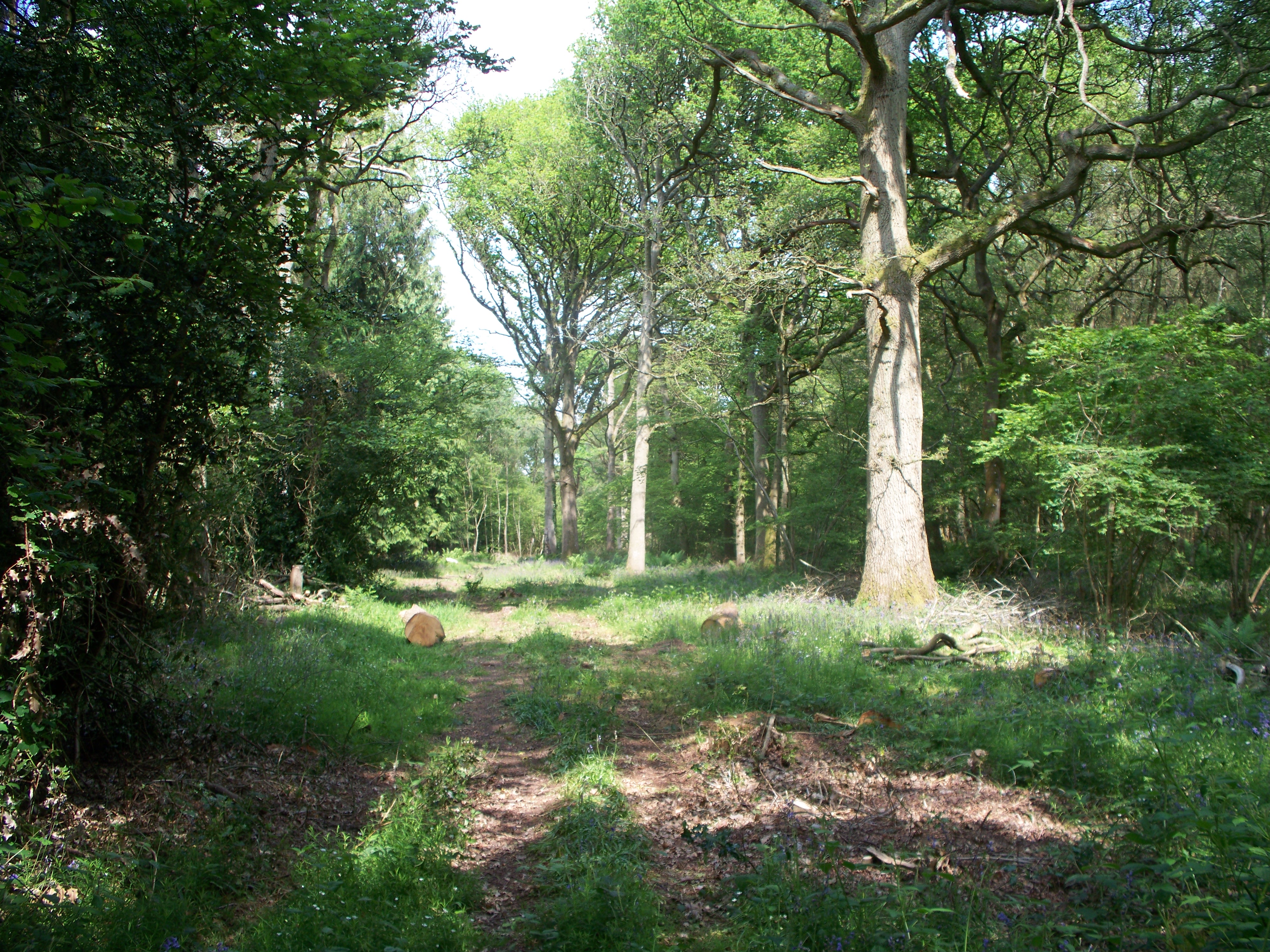
Ash Strip
Wood, Forest in Oxfordshire West Oxfordshire
England
Ash Strip

Ash Strip is a small wood located in Oxfordshire, England. Situated in the heart of the county, it is part of a larger forested area known as the Ashdown Forest. Covering an area of approximately 10 acres, Ash Strip is characterized by its dense growth of ash trees, which give the wood its name.
The wood is primarily made up of mature ash trees, with their distinctive diamond-shaped leaves and pale bark. These trees provide a dense canopy, allowing only dappled sunlight to filter through to the forest floor. This creates a cool and tranquil atmosphere within the wood, making it an ideal spot for nature enthusiasts and walkers.
Ash Strip is home to a variety of wildlife, including birds such as woodpeckers, owls, and various songbirds. Mammals such as deer, rabbits, and foxes can also be spotted in the wood, along with a diverse range of insects and small reptiles.
The wood is crisscrossed by a network of footpaths, allowing visitors to explore its beauty and enjoy the tranquility it offers. These paths wind through the trees, leading to open glades and clearings, where visitors can pause and admire the natural surroundings. The wood is also home to a few small ponds, which provide a habitat for aquatic plants and creatures.
Ash Strip is a popular destination for nature lovers and those seeking a peaceful escape from the hustle and bustle of everyday life. Its serene atmosphere, diverse wildlife, and beautiful ash trees make it a hidden gem within the Oxfordshire countryside.
If you have any feedback on the listing, please let us know in the comments section below.
Ash Strip Images
Images are sourced within 2km of 51.882017/-1.6310884 or Grid Reference SP2520. Thanks to Geograph Open Source API. All images are credited.


Ash Strip is located at Grid Ref: SP2520 (Lat: 51.882017, Lng: -1.6310884)
Administrative County: Oxfordshire
District: West Oxfordshire
Police Authority: Thames Valley
What 3 Words
///cries.yarn.vibrates. Near Shipton under Wychwood, Oxfordshire
Nearby Locations
Related Wikis
Bould Wood
Bould Wood is a 58.2-hectare (144-acre) biological Site of Special Scientific Interest north of Shipton-under-Wychwood in Oxfordshire. An area of 23...

Bould
Bould is a hamlet in Idbury civil parish, Oxfordshire, about 4.5 miles (7.2 km) southeast of Stow-on-the-Wold in neighbouring Gloucestershire. == External... ==

Foscot, Oxfordshire
Foscot is a hamlet in the Cotswolds in the Evenlode valley. It falls within Idbury civil parish, in the West Oxfordshire District, about 5 miles (8.0 km...

Bruern
Bruern or Bruern Abbey is a hamlet and civil parish on the River Evenlode about 6 miles (10 km) north of Burford in West Oxfordshire. The 2001 Census recorded...
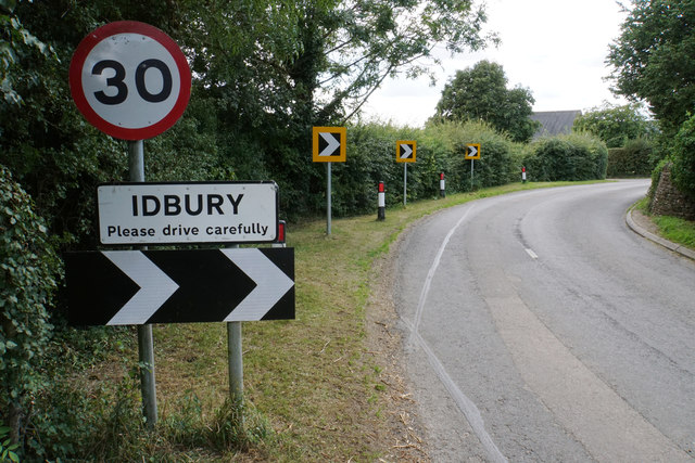
Idbury
Idbury is a village and civil parish in the Cotswold Hills in Oxfordshire, about 4+1⁄2 miles (7 km) southeast of Stow-on-the-Wold in neighbouring Gloucestershire...

Fifield, Oxfordshire
Fifield is a village and civil parish about 4 miles (6.4 km) north of Burford in Oxfordshire. The western boundary of the parish forms part of the county...

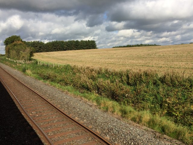
Kingham railway station
Kingham railway station in Oxfordshire, England, is between the Oxfordshire village of Kingham and the Gloucestershire village of Bledington, to which...

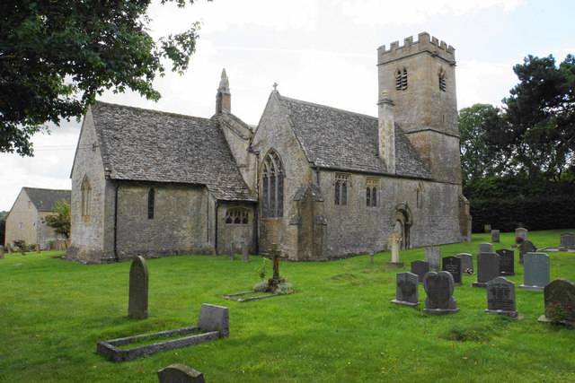
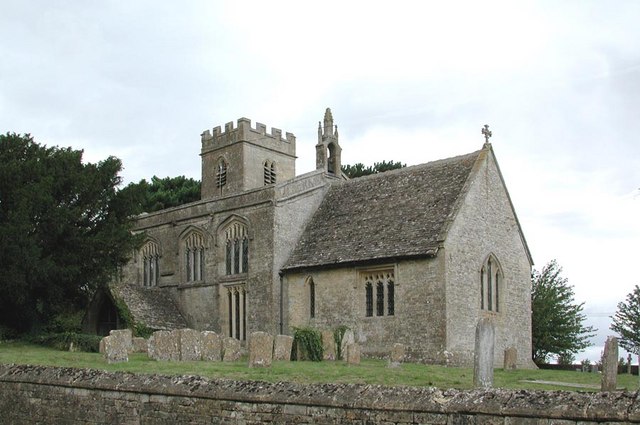
Church of St Leonard, Bledington
The Anglican Church of St Leonard at Bledington in the Cotswold District of Gloucestershire, England, was built in 12th century. It is a grade I listed...
Related Videos

XC Lesson!
Today, Livvie and Dan  went cross country schooling at Lyneham. Olivia has just come back from a holiday in Paxos, so she ...
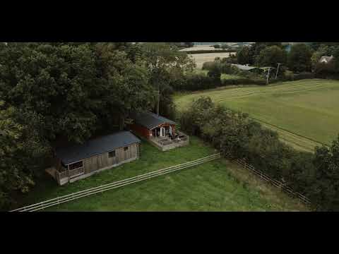
Bluewood Lodges - Kingham
Established 2004 Bluewood Lodges is a 5 star family run business in the heart of the Cotswolds in an area of outstanding natural ...

Jess Glynne
Thebigfeastival August Bank Holiday 2019 kingham Recorded on the samsunggalaxynote10 Enjoy.
Nearby Amenities
Located within 500m of 51.882017,-1.6310884Have you been to Ash Strip?
Leave your review of Ash Strip below (or comments, questions and feedback).