Fifield Heath

Downs, Moorland in Oxfordshire West Oxfordshire

England

Fifield Heath

D'Arcy Dalton Way D'Arcy Dalton Way heading across Bruern Crossing
D'Arcy Dalton Way Credit: Shaun Ferguson

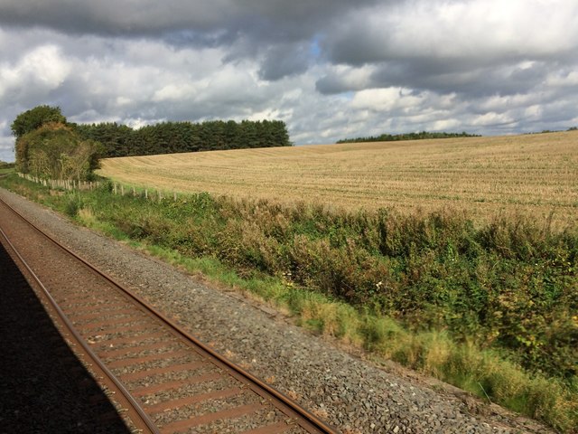
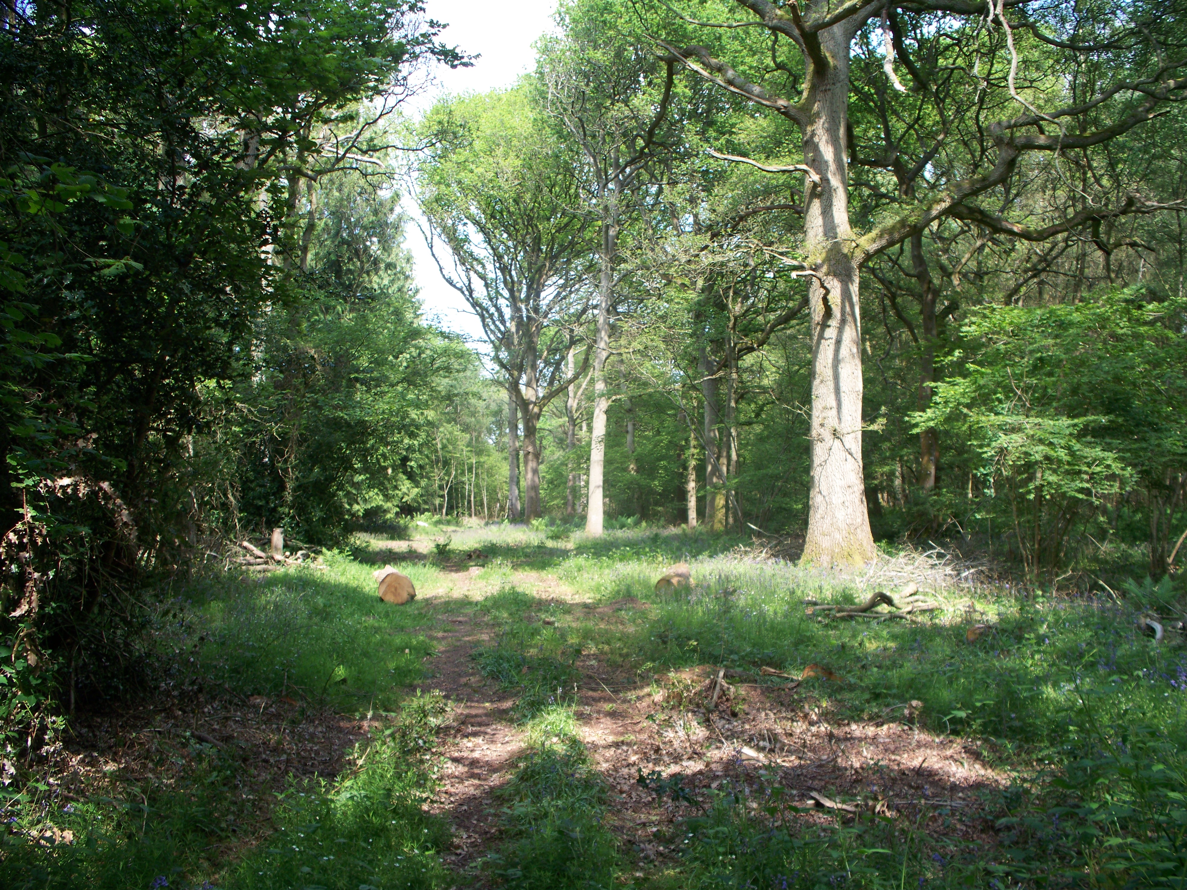
Fifield Heath is a picturesque village located in the county of Oxfordshire, England. Situated amidst the idyllic countryside, the village is nestled on the edge of the Downs, a range of beautiful hills that provide breathtaking views of the surrounding area. The landscape is characterized by vast expanses of moorland, which adds to the village's charm and tranquility.

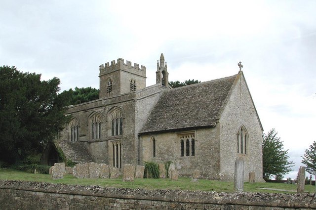
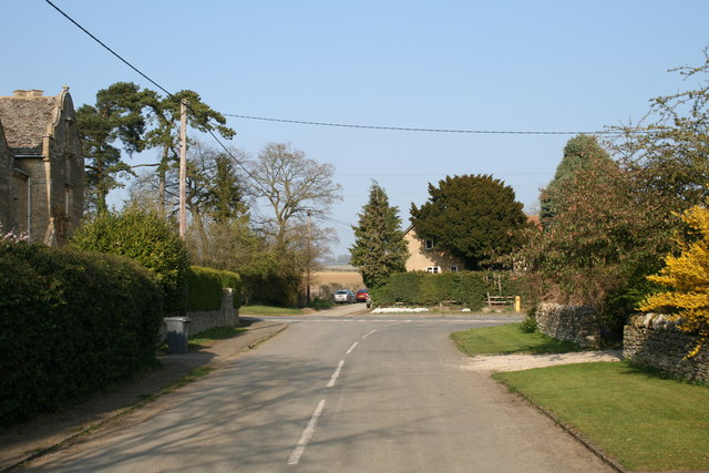
The village of Fifield Heath itself is small but vibrant, with a close-knit community. The houses in the village are mostly traditional, boasting stunning architectural designs that reflect the area's rich history. The village is known for its well-kept gardens and neatly manicured lawns, adding to its aesthetic appeal.

Fifield Heath is a haven for nature enthusiasts and outdoor lovers. The Downs offer numerous opportunities for hiking, walking, and cycling, with well-marked trails that cater to all ability levels. The moorland is home to a diverse range of wildlife, including rare bird species, making it a popular spot for birdwatchers.

Despite its rural setting, Fifield Heath is conveniently located close to several amenities. The nearby town of Oxford is easily accessible, providing residents with a wide range of shopping, dining, and entertainment options. Additionally, the village boasts a local pub and a community center, where residents can gather for various events and activities.

Overall, Fifield Heath offers a harmonious blend of natural beauty and community spirit. With its stunning surroundings and friendly atmosphere, the village provides a peaceful retreat for those seeking to escape the hustle and bustle of city life.

If you have any feedback on the listing, please let us know in the comments section below.

Fifield Heath Images

Images are sourced within 2km of 51.883592/-1.6288817 or Grid Reference SP2520. Thanks to Geograph Open Source API. All images are credited.

D'Arcy Dalton Way D'Arcy Dalton Way heading across Bruern Crossing
D'Arcy Dalton Way
D'Arcy Dalton Way heading across Bruern Crossing
Road to Kingham Road to Kingham passing right turn to Sarsden
Road to Kingham
Road to Kingham passing right turn to Sarsden
The road through Foscot
Kingham station, 2000 View NW, towards Worcester etc. on the ex-GWR London - Oxford - Worcester main line. Fifty and more years ago, this was a junction of some importance: at the north end, to the right there was a branch to Chipping Norton (closed 3/12/62, goods 7/9/64), being the root of a line through to King's Sutton (for Banbury) closed 4/12/51); to the west (left) a branch went via Bourton-on-the-Water and Andoversford to Cheltenham, lasting until 15/10/62 (goods to Bourton, 7/9/64). Until 12/10/53 a bridge, subsequently demolished, across the main line allowed through running avoiding Kingham station.  (Cf.<a href="https://www.geograph.org.uk/photo/550655">SP2522 : Kingham railway station</a> and others).
Kingham station, 2000
View NW, towards Worcester etc. on the ex-GWR London - Oxford - Worcester main line. Fifty and more years ago, this was a junction of some importance: at the north end, to the right there was a branch to Chipping Norton (closed 3/12/62, goods 7/9/64), being the root of a line through to King's Sutton (for Banbury) closed 4/12/51); to the west (left) a branch went via Bourton-on-the-Water and Andoversford to Cheltenham, lasting until 15/10/62 (goods to Bourton, 7/9/64). Until 12/10/53 a bridge, subsequently demolished, across the main line allowed through running avoiding Kingham station. (Cf.SP2522 : Kingham railway station and others).
View from a Didcot-Worcester train - Fields and woods near Bruern Abbey
View from a Didcot-Worcester train - Fields and trees near Sars Brook The yellow milepost marks 83.75 miles from London Paddington.
View from a Didcot-Worcester train - Fields and trees near Sars Brook
The yellow milepost marks 83.75 miles from London Paddington.
View from a Didcot-Worcester train - Fields, scrub and trees near Kingham The yellow milepost marks 84.25 miles from London Paddington
View from a Didcot-Worcester train - Fields, scrub and trees near Kingham
The yellow milepost marks 84.25 miles from London Paddington
Path to Bruern Abbey From No Man's Land the path to Bruern Abbey
Path to Bruern Abbey
From No Man's Land the path to Bruern Abbey
Line to Kingham From the path to Standbow Bridge the line heading to Kingham
Line to Kingham
From the path to Standbow Bridge the line heading to Kingham
Bridleway heading in to the wood of Bluewood Lodges Bridleway from Standbow Bridge heading in to the wood of Bluewood Lodges
Bridleway heading in to the wood of Bluewood Lodges
Bridleway from Standbow Bridge heading in to the wood of Bluewood Lodges
Cotswold Railway Oxford to Worcester line near Standbrow Bridge.
Cotswold Railway
Oxford to Worcester line near Standbrow Bridge.
Field edge by Starveall Wood I should have been in the wood to the right.
Field edge by Starveall Wood
I should have been in the wood to the right.
Path in Bould Wood This is part of Foxholes Nature Reserve but it was eerily silent. There may be trees and a bit of undergrowth here, but not a lot else.
Path in Bould Wood
This is part of Foxholes Nature Reserve but it was eerily silent. There may be trees and a bit of undergrowth here, but not a lot else.
Bridleway leaving Bould Wood
Field edge by Bould Wood Slightly higher ground which gives a view northwards past Bledington.
Field edge by Bould Wood
Slightly higher ground which gives a view northwards past Bledington.
Animal feeders near Bould These are next to a footpath towards Foscot.
Animal feeders near Bould
These are next to a footpath towards Foscot.
Path towards Foscot The route of the path is not obvious, but while the ground is dry it is easy enough to walk on.
Path towards Foscot
The route of the path is not obvious, but while the ground is dry it is easy enough to walk on.
Sheep near Foscot Low-lying farmland between Foscot and Bledington.
Sheep near Foscot
Low-lying farmland between Foscot and Bledington.
Show me another place!

Fifield Heath is located at Grid Ref: SP2520 (Lat: 51.883592, Lng: -1.6288817)

Administrative County: Oxfordshire

District: West Oxfordshire

Police Authority: Thames Valley

What 3 Words

///backfired.inkjet.tender. Near Shipton under Wychwood, Oxfordshire

Related Wikis

Bould Wood

Bould Wood is a 58.2-hectare (144-acre) biological Site of Special Scientific Interest north of Shipton-under-Wychwood in Oxfordshire. An area of 23...

Bould

Bould is a hamlet in Idbury civil parish, Oxfordshire, about 4.5 miles (7.2 km) southeast of Stow-on-the-Wold in neighbouring Gloucestershire. == External... ==

Foscot, Oxfordshire

Foscot is a hamlet in the Cotswolds in the Evenlode valley. It falls within Idbury civil parish, in the West Oxfordshire District, about 5 miles (8.0 km...

Bruern

Bruern or Bruern Abbey is a hamlet and civil parish on the River Evenlode about 6 miles (10 km) north of Burford in West Oxfordshire. The 2001 Census recorded...

Kingham railway station

Kingham railway station in Oxfordshire, England, is between the Oxfordshire village of Kingham and the Gloucestershire village of Bledington, to which...

Idbury

Idbury is a village and civil parish in the Cotswold Hills in Oxfordshire, about 4+1⁄2 miles (7 km) southeast of Stow-on-the-Wold in neighbouring Gloucestershire...

Church of St Leonard, Bledington

The Anglican Church of St Leonard at Bledington in the Cotswold District of Gloucestershire, England, was built in 12th century. It is a grade I listed...

Lyneham, Oxfordshire

Lyneham is a village and civil parish about 5 miles (8 km) southwest of Chipping Norton, Oxfordshire. It is bounded to the southwest by the River Evenlode...

Nearby Amenities

Located within 500m of 51.883592,-1.6288817
Information: route_marker
Tourism: information
Lat/Long: 51.8874172/-1.6261353
Information: route_marker
Tourism: information
Lat/Long: 51.8868807/-1.6268874
Foxholes
Place: hamlet
Lat/Long: 51.8864025/-1.6281161
Parking
Foxholes
Access: permissive
Capacity: 8
Fee: no
Operator: BBOWT
Parking: surface
Lat/Long: 51.8858622/-1.6256991
Barrier: stile
Lat/Long: 51.8837398/-1.6281874
Barrier: stile
Lat/Long: 51.8839965/-1.6255781
Information: route_marker
Tourism: information
Lat/Long: 51.8875469/-1.6260092
Information: route_marker
Tourism: information
Lat/Long: 51.8869909/-1.6267131
Barrier: stile
Lat/Long: 51.8839859/-1.6256573
Fifield Heath
Place: locality
Lat/Long: 51.8830647/-1.6286598
No Man's Land
Place: locality
Lat/Long: 51.8871929/-1.6260452
The data included in this document is from www.openstreetmap.org. The data is made available under ODbL.

Have you been to Fifield Heath?

Leave your review of Fifield Heath below (or comments, questions and feedback).