Abney Low

Hill, Mountain in Derbyshire Derbyshire Dales

England

Abney Low

Edge of Abney Moor Grange Farm  over the minor road at SK 190 785
Edge of Abney Moor Credit: Peter Barr

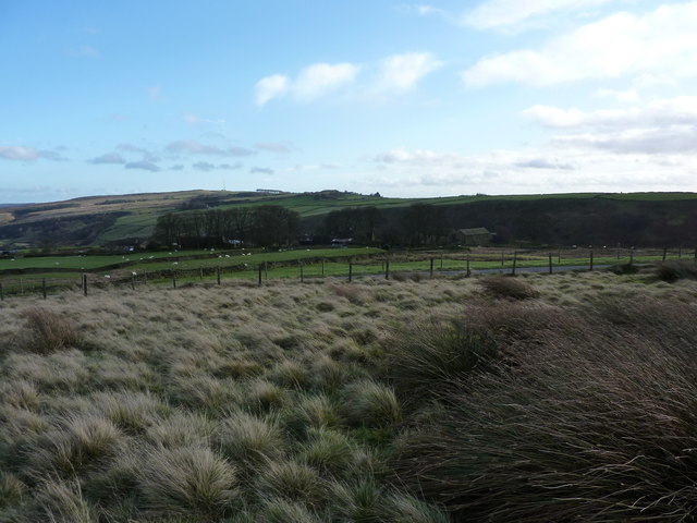
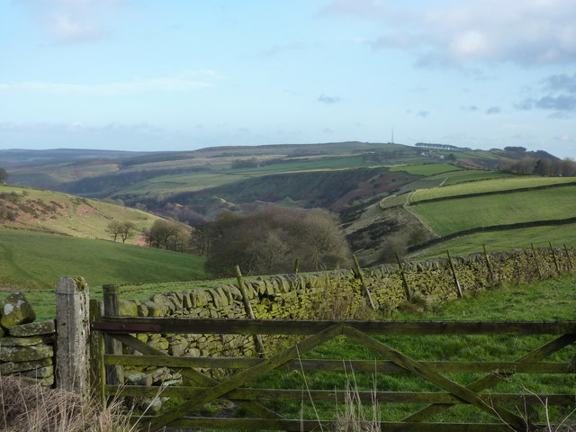
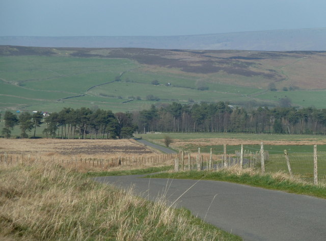
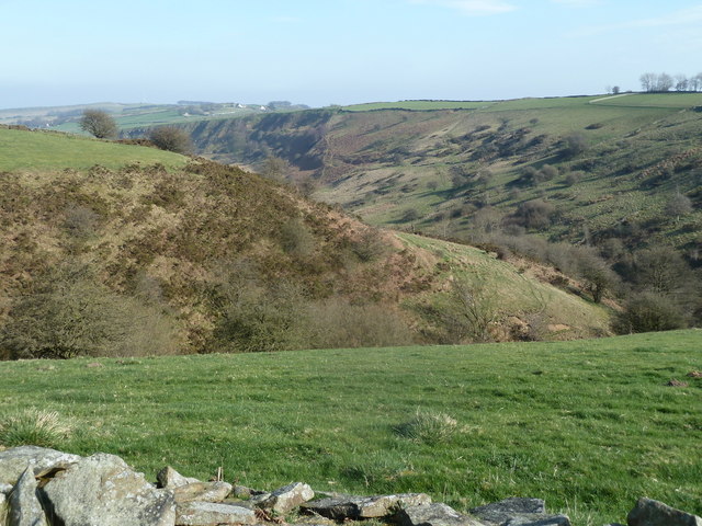
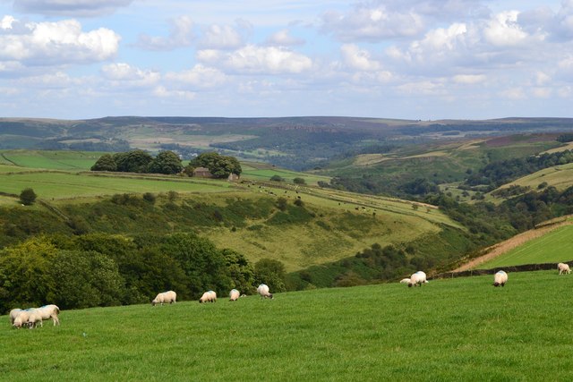
Abney Low is a hill located in the county of Derbyshire, England. Situated in the Peak District National Park, it forms part of the White Peak area. Standing at an elevation of approximately 373 meters (1,224 feet), it offers stunning panoramic views of the surrounding countryside.

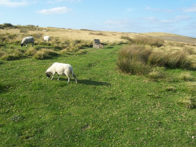
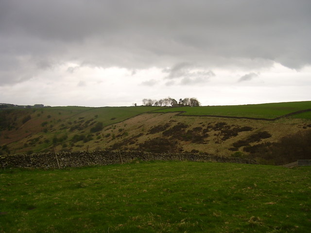
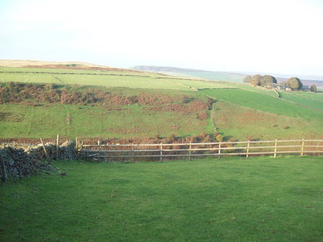
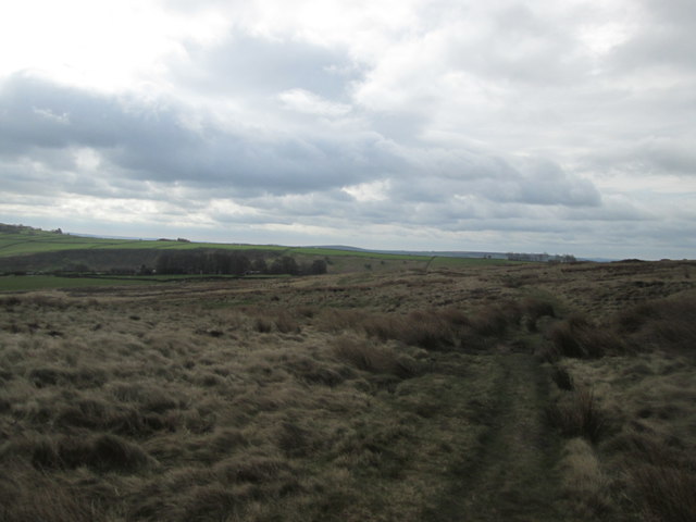
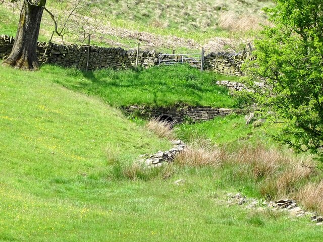
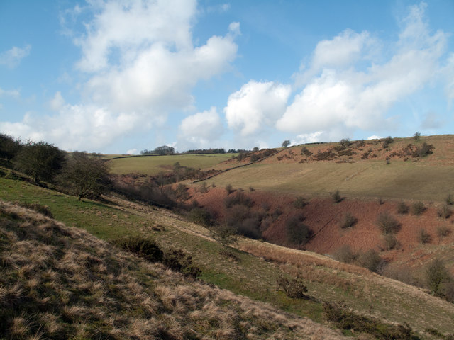
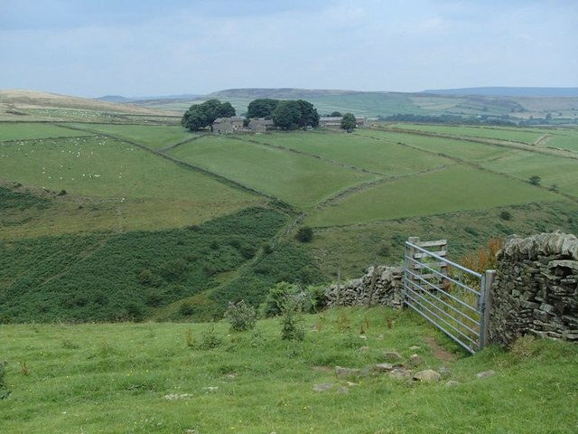
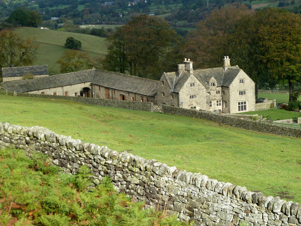
The hill is characterized by its gently sloping grassy slopes, which are ideal for leisurely walks and hikes. It is particularly popular among nature enthusiasts, as it is home to a variety of flora and fauna, including wildflowers, birds, and small mammals. The landscape is dotted with dry stone walls, adding to its picturesque charm.

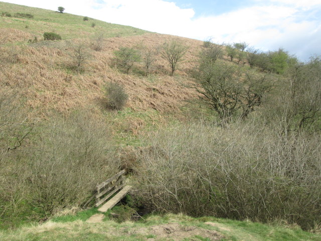
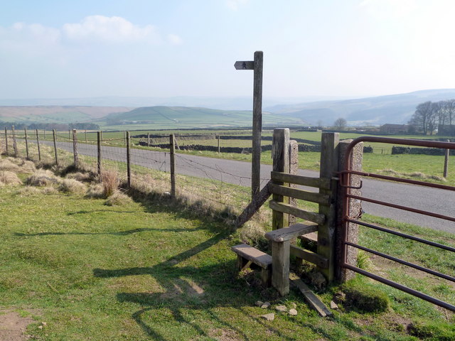
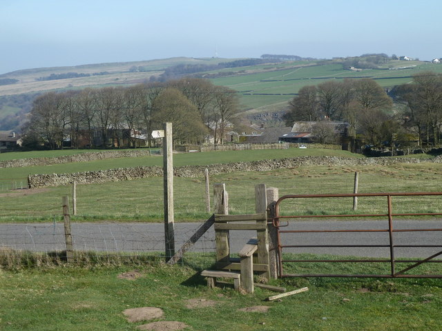
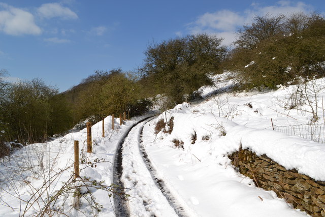
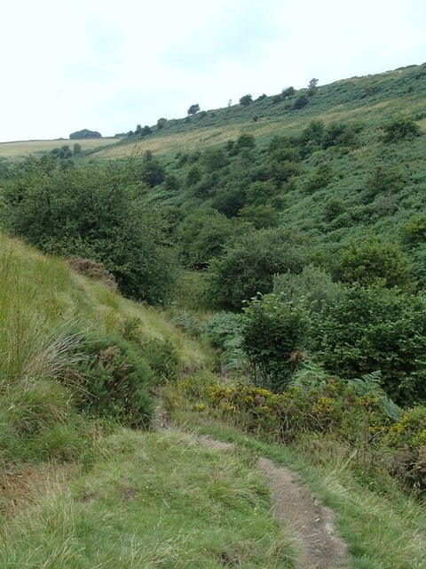
Abney Low is easily accessible, with several footpaths and trails leading to its summit. One of the most popular routes is the Abney Clough Circular Walk, which takes visitors through a beautiful wooded area before ascending the hill. On a clear day, the view from the top stretches as far as the eye can see, encompassing rolling hills, lush green valleys, and distant villages.

The hill is steeped in history, with evidence of human activity dating back to prehistoric times. Archaeological remains, including ancient burial mounds, have been discovered in the vicinity. Abney Low is also known for its quarrying history, with the extraction of limestone being a prominent industry in the area.

Overall, Abney Low in Derbyshire is a captivating natural landmark that offers both recreational opportunities and a glimpse into the region's rich past. Whether visitors are looking for a peaceful stroll, a scenic picnic spot, or a chance to explore the area's heritage, this hill has something to offer for everyone.

If you have any feedback on the listing, please let us know in the comments section below.
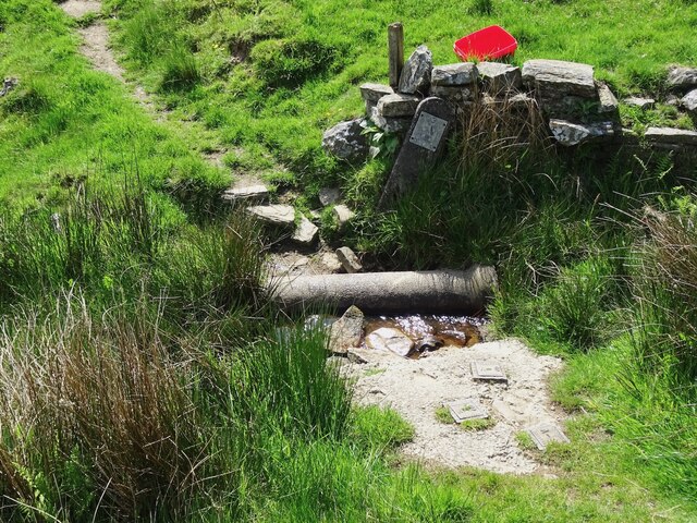
Abney Low Images

Images are sourced within 2km of 53.311459/-1.6971462 or Grid Reference SK2079. Thanks to Geograph Open Source API. All images are credited.

Edge of Abney Moor Grange Farm  over the minor road at SK 190 785
Edge of Abney Moor
Grange Farm over the minor road at SK 190 785
Looking east down Bretton Clough The transmitter mast on Sir William Hill, and the Barrel Inn are on the right horizon
Looking east down Bretton Clough
The transmitter mast on Sir William Hill, and the Barrel Inn are on the right horizon
Footpath over Abney Moor
Across Bretton Clough Building on Hucklow Edge.
Across Bretton Clough
Building on Hucklow Edge.
Across the Valley from Hucklow Edge This picture was taken on a fine evening in mid October. Abney Grange (SK1978) is visible on the opposite side of the valley.
Across the Valley from Hucklow Edge
This picture was taken on a fine evening in mid October. Abney Grange (SK1978) is visible on the opposite side of the valley.
Abney Moor towards Abney Grange
Footbridge south of Abney Grange
Bretton Brook emerging from a culvert under Camphill Lane
Footpath crossing Bretton Brook
Stile and footpath sign near Abney Grange With superb views over to Eyam Moor
Stile and footpath sign near Abney Grange
With superb views over to Eyam Moor
Upper Bretton Clough Bretton Clough is a striking Peak District valley. The upper part of the valley seen here is attractive enough though un-remarkable but to the east the landscape is distorted by ancient landslips.
Upper Bretton Clough
Bretton Clough is a striking Peak District valley. The upper part of the valley seen here is attractive enough though un-remarkable but to the east the landscape is distorted by ancient landslips.
Moorland footpath reaches the lane above Abney Grange The stile crosses the fence onto the straight moorland road across gently graded slopes.
Moorland footpath reaches the lane above Abney Grange
The stile crosses the fence onto the straight moorland road across gently graded slopes.
Lane crossing Abney Moor The lane descends gradually in a northeasterly direction.
Lane crossing Abney Moor
The lane descends gradually in a northeasterly direction.
Upper part of Bretton Clough A deep valley gouged into open moorland.  Seen from a path taking a more direct route than the lane.
Upper part of Bretton Clough
A deep valley gouged into open moorland. Seen from a path taking a more direct route than the lane.
Snowy track below Hucklow Edge
Abney Grange and Bretton Clough seen from the west
Start of path to Abney Grange A deep valley intervenes, which is the head of Bretton Clough.  The descent from this side, heading north, is particularly steep.
Start of path to Abney Grange
A deep valley intervenes, which is the head of Bretton Clough. The descent from this side, heading north, is particularly steep.
Crossing the upper reaches of Bretton Clough The footpath heads briefly upstream before crossing a footbridge just out of sight among bushes.
Crossing the upper reaches of Bretton Clough
The footpath heads briefly upstream before crossing a footbridge just out of sight among bushes.
Show me another place!

Abney Low is located at Grid Ref: SK2079 (Lat: 53.311459, Lng: -1.6971462)

Administrative County: Derbyshire

District: Derbyshire Dales

Police Authority: Derbyshire

What 3 Words

///using.quitter.zipped. Near Hathersage, Derbyshire

Related Wikis

Abney and Abney Grange

Abney and Abney Grange is a civil parish in the Derbyshire Dales district of Derbyshire, England. It covers the villages of Abney and Abney Grange....

Abney, Derbyshire

Abney (Old English Abba's Island) is a village in the English county of Derbyshire. The settlement was mentioned as Habenai in the Domesday book of 1086...

Highlow

Highlow is a civil parish within the Derbyshire Dales district, in the county of Derbyshire, England. Largely rural, Highlow's population is reported with...

Offerton, Derbyshire

Offerton is a hamlet and civil parish in the Derbyshire Dales district, in Derbyshire, England. It lies on the River Derwent. The village features Offerton...
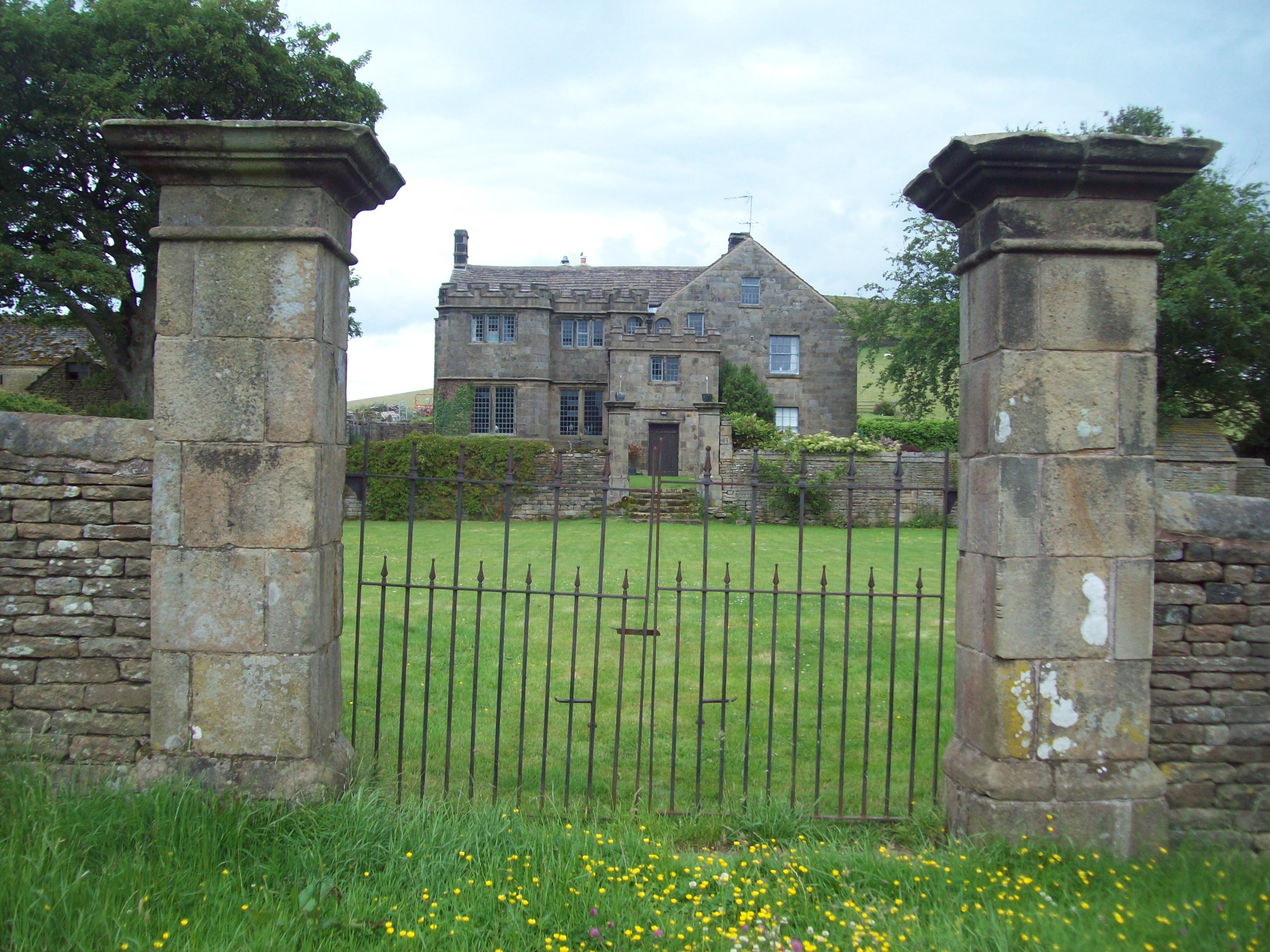
Highlow Hall

Highlow Hall is a historic Elizabethan manor house in Highlow civil parish, near Hathersage, Derbyshire, England. It was owned by the Eyre family from...

Eyam Moor

Eyam Moor is a plateau-topped hill between the villages of Eyam and Hathersage in Derbyshire, in the Peak District of England. The summit of Sir William...

Bretton Brook

Bretton Brook is a stream flowing through Bretton in the Derbyshire Peak District. The stream is a tributary of the Highlow Brook, which is a direct...

Highlow Brook

Highlow Brook is a stream in the civil parish of Highlow in the Derbyshire Peak District. The stream is a tributaries of the River Derwent, flowing southeast...

Nearby Amenities

Located within 500m of 53.311459,-1.6971462
Abney Low
Ele: 340
Natural: peak
Lat/Long: 53.3115557/-1.6974118
Barrier: cattle_grid
Lat/Long: 53.3110108/-1.7034697
Barrier: stile
Material: stone
Source: survey;gps
Step Count: 3
Stile: stepover
Lat/Long: 53.3094304/-1.701101
Barrier: stile
Material: stone
Source: survey;gps
Stile: stepover
Lat/Long: 53.3083722/-1.7000925
Bench
Backrest: no
Material: wood
Seats: 5
Source: survey;gps
Lat/Long: 53.3075499/-1.7003104
Barrier: stile
Material: wood
Source: survey;gps
Step Count: 2
Stile: stepover
Lat/Long: 53.3075725/-1.7001687
Barrier: stile
Material: stone
Source: survey;gps
Stile: stepover
Lat/Long: 53.3118322/-1.7024774
Ford: yes
Lat/Long: 53.3130863/-1.7038997
Natural: spring
Lat/Long: 53.3126342/-1.7039177
The data included in this document is from www.openstreetmap.org. The data is made available under ODbL.

Have you been to Abney Low?

Leave your review of Abney Low below (or comments, questions and feedback).