Daisy Ley Hill

Hill, Mountain in Yorkshire

England

Daisy Ley Hill

The Langsett Memory Tree The Langsett Memory Tree (an old fir tree) gains many ornaments over the Christmas period.
The Langsett Memory Tree Credit: Dave Pickersgill

Daisy Ley Hill is a picturesque hill located in the county of Yorkshire, England. Situated in the region of West Yorkshire, specifically in the Calderdale district, it is a well-known landmark that offers stunning panoramic views of the surrounding countryside.

Standing at an elevation of approximately 1,300 feet (396 meters), Daisy Ley Hill is often referred to as a mountain due to its impressive height in comparison to the surrounding landscape. Its name is derived from the abundance of daisies that carpet the hillside during the summer months, providing a vibrant burst of color.

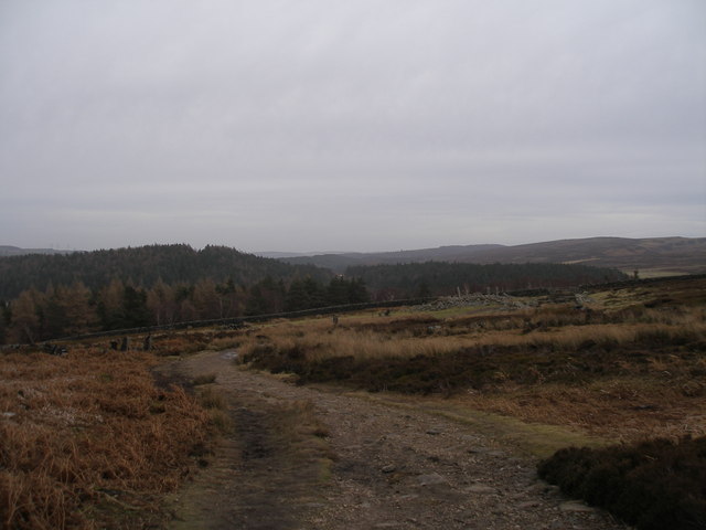
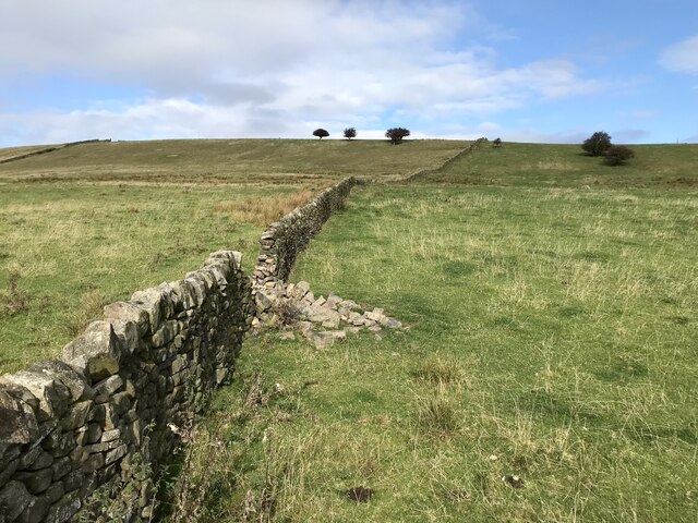
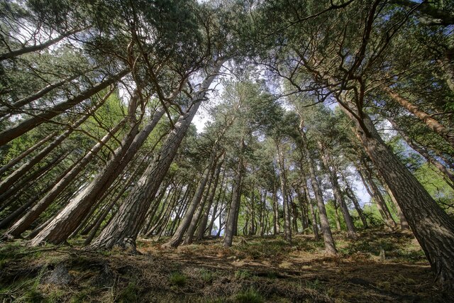
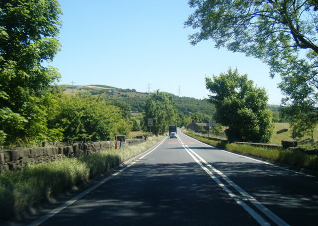
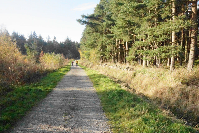
The hill is a popular destination for outdoor enthusiasts and nature lovers who enjoy hiking and walking. There are several well-marked trails that wind their way up the hill, offering varying levels of difficulty to cater to different fitness levels. Along these trails, visitors can experience the beauty of the Yorkshire countryside, passing through lush green fields, woodlands, and meadows.

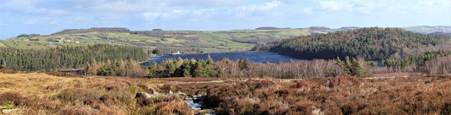
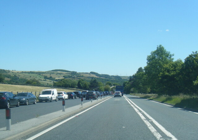
At the summit of Daisy Ley Hill, visitors are rewarded with breathtaking views of the Calder Valley and the surrounding Pennine hills. On a clear day, one can see as far as the Yorkshire Dales National Park to the north and the Peak District National Park to the south.

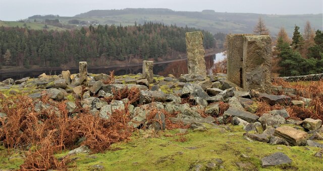
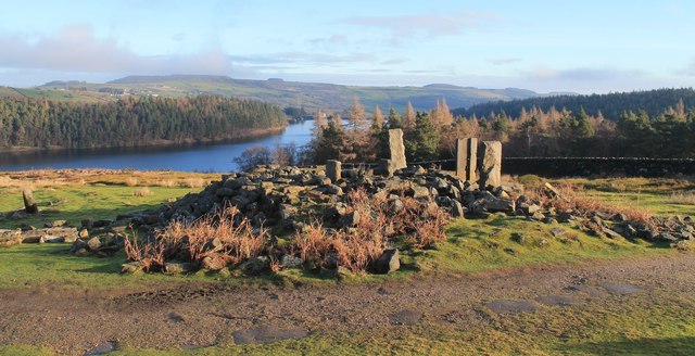
Daisy Ley Hill is not only a natural paradise but also holds historical significance. It is believed to have been a site of ancient settlements, with remnants of Bronze Age burial mounds and other archaeological discoveries found in the area.

In conclusion, Daisy Ley Hill is a stunning hill/mountain in Yorkshire, offering a combination of natural beauty, outdoor activities, and historical significance, making it a must-visit destination for both locals and tourists alike.

If you have any feedback on the listing, please let us know in the comments section below.

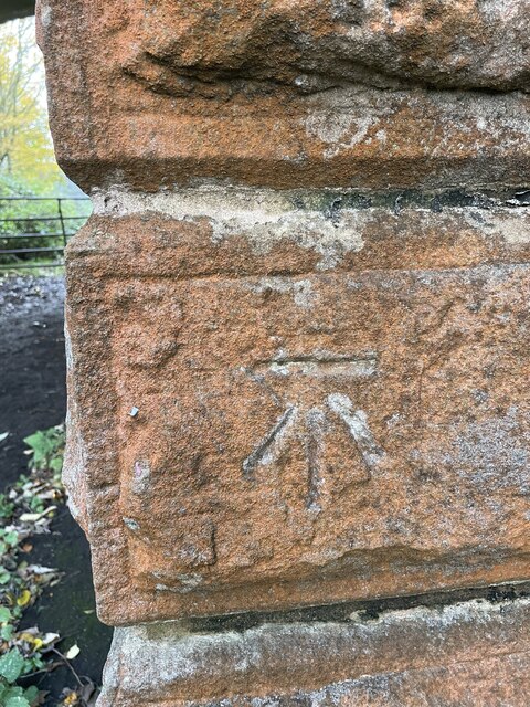
Daisy Ley Hill Images

Images are sourced within 2km of 53.50845/-1.6958355 or Grid Reference SE2001. Thanks to Geograph Open Source API. All images are credited.

The Langsett Memory Tree The Langsett Memory Tree (an old fir tree) gains many ornaments over the Christmas period.
The Langsett Memory Tree
The Langsett Memory Tree (an old fir tree) gains many ornaments over the Christmas period.
The ruins of North America The ruins of North America above Langsett Reservoir. In the nineteenth century, outlying farms were often named after far-away places.
The ruins of North America
The ruins of North America above Langsett Reservoir. In the nineteenth century, outlying farms were often named after far-away places.
On the way to North America
The Langsett memory tree See how the trees have grown over the last few years. <a href="https://www.geograph.org.uk/photo/3253237">SK2099 : The Memory tree 2012</a> <a href="https://www.geograph.org.uk/photo/1102797">SK2099 : Memory Christmas tree Thickwoods</a>
The Langsett memory tree
See how the trees have grown over the last few years. SK2099 : The Memory tree 2012 SK2099 : Memory Christmas tree Thickwoods
Langsett Reservoir Low water level in the southern arm of the reservoir during a hot, dry spell.
Langsett Reservoir
Low water level in the southern arm of the reservoir during a hot, dry spell.
North America and Langsett Reservoir The ruins of North America (farm) and Langsett Reservoir as seen on Christmas morning 2018.
North America and Langsett Reservoir
The ruins of North America (farm) and Langsett Reservoir as seen on Christmas morning 2018.
Langsett Reservoir
Langsett Reservoir
Langsett, Slope of Gilbert Hill
Bullhouse Railway Bridge OS BM on old Railway Bridge west of Bullhouse 
SE 2059 0256
Bullhouse Railway Bridge
OS BM on old Railway Bridge west of Bullhouse SE 2059 0256
Old milestone I cleaned and repainted this milestone on the Doncaster Saltersbrook turnpike of 1740 in 2016.  It is on a piece of cut-off original road westwards from what was the Flouch Inn, now closed.  On a visit in 2021 the lettering was refreshed, always difficult on these old weathered stones.
Old milestone
I cleaned and repainted this milestone on the Doncaster Saltersbrook turnpike of 1740 in 2016. It is on a piece of cut-off original road westwards from what was the Flouch Inn, now closed. On a visit in 2021 the lettering was refreshed, always difficult on these old weathered stones.
Lansett reservoir view Hingscliff Common
Lansett reservoir view
Hingscliff Common
Langsett trees Trees on the bank of Langsett reservoir
Langsett trees
Trees on the bank of Langsett reservoir
A616 near Langsett House
A616 east of Langsett
Old milestone Just within the Barnsley boundary, in 2002 this West Riding CC milestone was without its backing stone and leaning <a href="https://www.geograph.org.uk/photo/6099189">SE1901 : Old Milestone by the A616, Whams Road, Dunford parish</a>. Later that year it was stolen. In 2021 it was seen on an auction site. Being 'listed' it was recovered and taken to Barnsley. I cleaned and repainted it, the Conservation Officer sourced a new stone and the Highways Department set it back by the roadside, just north of the last house on Whams Road, in July 2022. Grade II listed 1315028.
Old milestone
Just within the Barnsley boundary, in 2002 this West Riding CC milestone was without its backing stone and leaning SE1901 : Old Milestone by the A616, Whams Road, Dunford parish. Later that year it was stolen. In 2021 it was seen on an auction site. Being 'listed' it was recovered and taken to Barnsley. I cleaned and repainted it, the Conservation Officer sourced a new stone and the Highways Department set it back by the roadside, just north of the last house on Whams Road, in July 2022. Grade II listed 1315028.
Old milestone A view of the left side of the West Riding CC milestone dating from 1893/94 on Whams Road.   This shows the lovely piece of well shaped new stone to which the metal is attached by stainless steel bolts.
Old milestone
A view of the left side of the West Riding CC milestone dating from 1893/94 on Whams Road. This shows the lovely piece of well shaped new stone to which the metal is attached by stainless steel bolts.
Ruined barn near Langsett
Brook House Lane Access from the A616 to forestry walks near Langsett Reservoir and the Barnsley Boundary Walk.
Brook House Lane
Access from the A616 to forestry walks near Langsett Reservoir and the Barnsley Boundary Walk.
Show me another place!

Daisy Ley Hill is located at Grid Ref: SE2001 (Lat: 53.50845, Lng: -1.6958355)

Division: West Riding

Unitary Authority: Barnsley

Police Authority: South Yorkshire

What 3 Words

///reboot.bullion.intervene. Near Penistone, South Yorkshire

Nearby Locations

Daisy Ley Hill Fullshaw

Related Wikis

Langsett

Langsett is a village and civil parish near Penistone in South Yorkshire. It lies near the southern edge of the Metropolitan Borough of Barnsley and on...
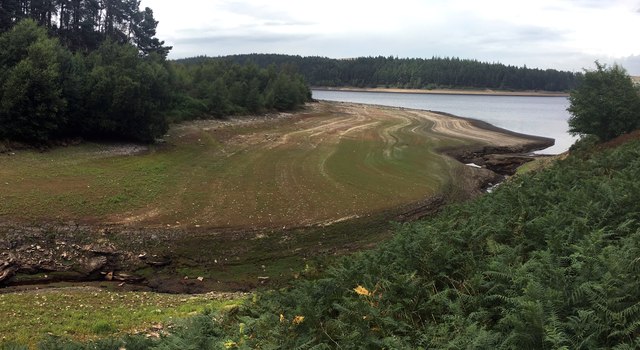
Langsett Reservoir

Langsett Reservoir is in Yorkshire, England, near the villages of Langsett and Upper Midhope, on the edge of the Peak District National Park. The reservoir...

Hazlehead Bridge railway station

Hazlehead Bridge railway station was a railway station on the Sheffield, Ashton-under-Lyne and Manchester Railway's Woodhead Line. It served villages scattered...

Catshaw

Catshaw is a hamlet in the western parts of Penistone, in the Barnsley district, in the county of South Yorkshire, England. It lies about 0.9 miles (1...

Upper Midhope

Upper Midhope (archaic Over Midhope) is a village in the civil parish of Bradfield within the Stocksbridge and Upper Don electoral ward in the borough...

Hartcliff Folly

The Hartcliff Folly (or Tower) is a stone structure 1.2 miles (2 km) south-west of Penistone in South Yorkshire, England. The folly was built in 1856 by...

Millhouse Green

Millhouse Green is a village on the north banks of the River Don on the A628 road west of Penistone in the English county of South Yorkshire. Administratively...

Carlecotes

Carlecotes is a village in the metropolitan borough of Barnsley in South Yorkshire, England. Carlecotes is within Dunford civil parish. The village is...

Nearby Amenities

Located within 500m of 53.50845,-1.6958355
Ele: 285.15
Lat/Long: 53.5089935/-1.7019663
Bus Stop
Manchester Road
Alt Name: Manchester Road
Bus: yes
Naptan AltCommonName: Manchester Road
Naptan AtcoCode: 370050991
Naptan Bearing: S
Naptan CommonName: Manchester Road
Naptan Indicator: 50991
Naptan Landmark: DAISY HOUSE
Naptan PlusbusZoneRef: ROTHCEN
Naptan Street: Manchester Road
Naptan Verified: no
Public Transport: platform
Shelter: no
Source: naptan_import
Lat/Long: 53.5107492/-1.6936084
Bus Stop
Manchester Road/The Flouch Inn
Alt Name: Manchester Road/The Flouch Inn
Bus: yes
Naptan AltCommonName: Manchester Road/The Flouch Inn
Naptan AtcoCode: 370055404
Naptan Bearing: SW
Naptan CommonName: Manchester Road/The Flouch Inn
Naptan Indicator: 55404
Naptan Landmark: OPPOSITE THE FLOUCH INN
Naptan PlusbusZoneRef: ROTHCEN
Naptan Street: A628/ Manchester Road
Naptan Verified: no
Public Transport: platform
Source: naptan_import
Lat/Long: 53.5094099/-1.7009401
Bus Stop
Manchester Road/The Flouch Inn
Alt Name: Manchester Road/The Flouch Inn
Bench: yes
Bin: no
Bus: yes
Naptan AltCommonName: Manchester Road/The Flouch Inn
Naptan AtcoCode: 370055406
Naptan Bearing: NE
Naptan CommonName: Manchester Road/The Flouch Inn
Naptan Indicator: 55406
Naptan Landmark: FLOUCH INN
Naptan PlusbusZoneRef: ROTHCEN
Naptan Street: A628/ Manchester Road
Naptan Verified: no
Public Transport: platform
Shelter: yes
Source: naptan_import
Lat/Long: 53.5096979/-1.7011039
Bus Stop
Manchester Road/Daisy House
Bus: yes
Naptan AtcoCode: 370055517
Naptan Bearing: N
Naptan BusStopType: CUS
Naptan CommonName: Manchester Road/Daisy House
Naptan Indicator: 55517
Naptan Landmark: DAISY HOUSE
Naptan PlusbusZoneRef: ROTHCEN
Naptan Street: Manchester Road
Naptan Verified: no
Public Transport: platform
Source: naptan_import
Lat/Long: 53.5108477/-1.6936918
Barrier: stile
Lat/Long: 53.5101187/-1.6934901
Power: pole
Lat/Long: 53.5086162/-1.6899025
Power: pole
Lat/Long: 53.5087046/-1.690992
Power: pole
Lat/Long: 53.5087372/-1.6916588
Power: pole
Lat/Long: 53.5087832/-1.6927478
Power: pole
Lat/Long: 53.5088355/-1.693762
Power: pole
Lat/Long: 53.5088766/-1.6946651
Power: pole
Lat/Long: 53.5089267/-1.6957095
Power: pole
Lat/Long: 53.5089743/-1.6966277
Power: pole
Lat/Long: 53.5090307/-1.6978067
Material: wood
Power: pole
Lat/Long: 53.5091251/-1.6988342
Material: wood
Power: pole
Lat/Long: 53.5092378/-1.7000133
Material: wood
Power: pole
Lat/Long: 53.5089457/-1.6995454
Material: wood
Power: pole
Lat/Long: 53.5087576/-1.7002989
Material: wood
Power: pole
Lat/Long: 53.5085826/-1.7010626
Material: wood
Power: pole
Lat/Long: 53.5081093/-1.7029471
Material: wood
Power: pole
Lat/Long: 53.5093706/-1.7010698
Material: wood
Power: pole
Lat/Long: 53.509474/-1.7018737
Material: wood
Power: pole
Lat/Long: 53.5095631/-1.7026341
Power: pole
Lat/Long: 53.5085411/-1.6889263
Board Type: map
Information: board
Tourism: information
Lat/Long: 53.5062456/-1.6981632
The data included in this document is from www.openstreetmap.org. The data is made available under ODbL.

Have you been to Daisy Ley Hill?

Leave your review of Daisy Ley Hill below (or comments, questions and feedback).