Fullshaw
Settlement in Yorkshire
England
Fullshaw
Fullshaw is a small village located in the county of Yorkshire, England. Situated in the picturesque countryside, it offers a tranquil and idyllic setting for its residents. With a population of around 500, Fullshaw exudes a close-knit community spirit.
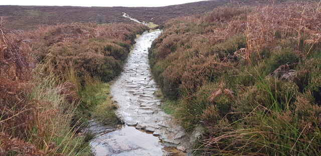
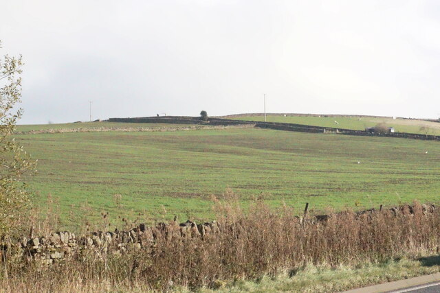
The village is characterized by its charming stone cottages, which date back several centuries, giving it a quintessentially English feel. The surrounding landscape is dominated by rolling hills, lush green fields, and meandering streams, making it a haven for nature enthusiasts and outdoor lovers.
Fullshaw boasts a range of amenities to cater to the needs of its residents. The local village hall serves as a hub for social gatherings and community events, fostering a strong sense of belonging among the villagers. Additionally, there is a well-regarded primary school that provides education to the children of Fullshaw and the neighboring areas.
The village is also fortunate to have a traditional pub, The Fullshaw Arms, which offers a warm and friendly atmosphere for locals and visitors alike. Here, one can enjoy a pint of local ale and savor traditional British cuisine.
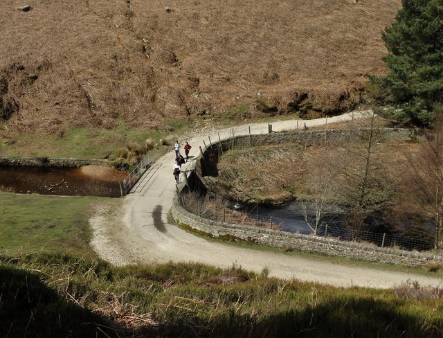
Fullshaw's location provides easy access to the nearby market town of Skipton, known for its historic castle and vibrant market. The surrounding countryside offers numerous walking and cycling routes, allowing residents to explore the beauty of the Yorkshire Dales National Park at their leisure.
In summary, Fullshaw is a picturesque village in Yorkshire, offering a peaceful and close-knit community, stunning natural landscapes, and convenient access to nearby amenities.
If you have any feedback on the listing, please let us know in the comments section below.
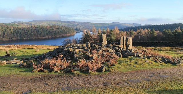
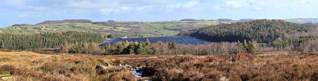
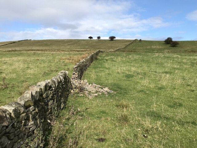
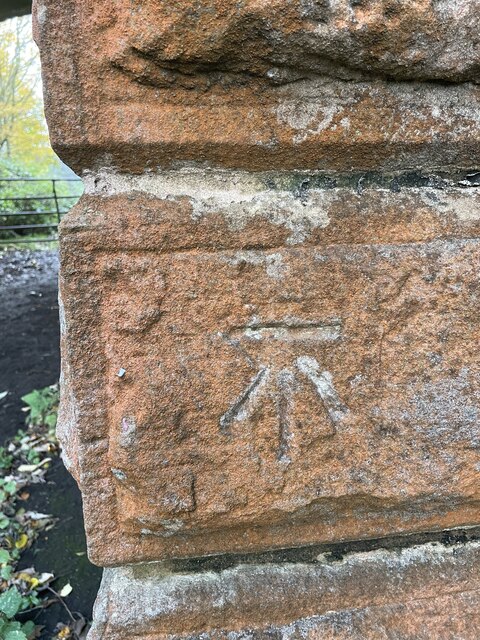
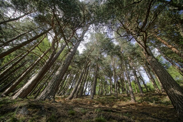
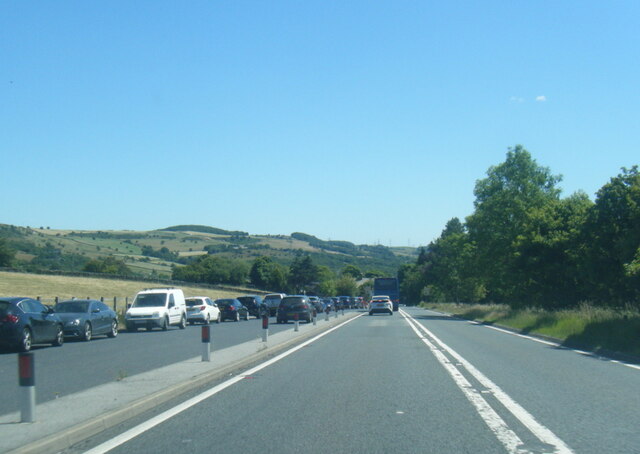
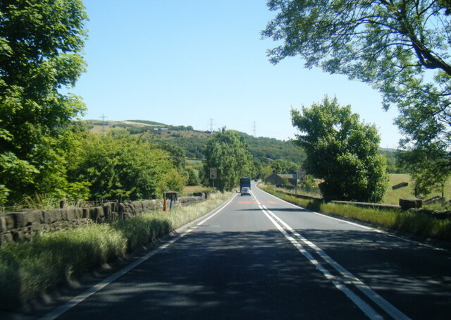
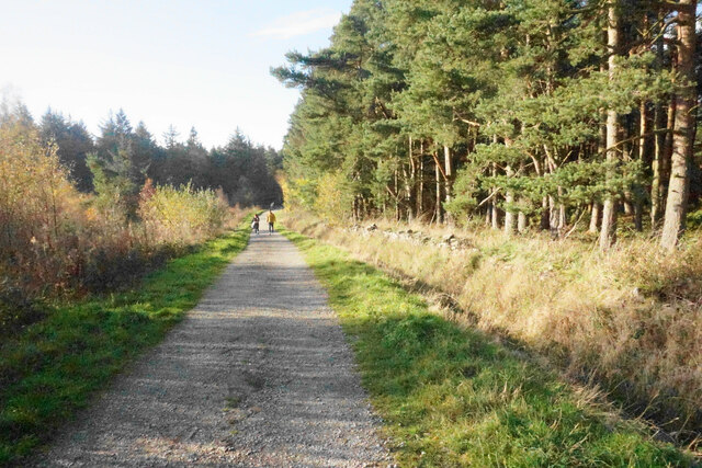
Fullshaw Images
Images are sourced within 2km of 53.505314/-1.6999287 or Grid Reference SE2001. Thanks to Geograph Open Source API. All images are credited.

Fullshaw is located at Grid Ref: SE2001 (Lat: 53.505314, Lng: -1.6999287)
Division: West Riding
Unitary Authority: Barnsley
Police Authority: South Yorkshire
What 3 Words
///flukes.routine.eruptions. Near Penistone, South Yorkshire
Nearby Locations
Related Wikis

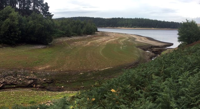
Langsett Reservoir
Langsett Reservoir is in Yorkshire, England, near the villages of Langsett and Upper Midhope, on the edge of the Peak District National Park. The reservoir...

Langsett
Langsett is a village and civil parish near Penistone in South Yorkshire. It lies near the southern edge of the Metropolitan Borough of Barnsley and on...

Hazlehead Bridge railway station
Hazlehead Bridge railway station was a railway station on the Sheffield, Ashton-under-Lyne and Manchester Railway's Woodhead Line. It served villages scattered...

Upper Midhope
Upper Midhope (archaic Over Midhope) is a village in the civil parish of Bradfield within the Stocksbridge and Upper Don electoral ward in the borough...
Nearby Amenities
Located within 500m of 53.505314,-1.6999287Have you been to Fullshaw?
Leave your review of Fullshaw below (or comments, questions and feedback).