Abney Clough

Valley in Derbyshire Derbyshire Dales

England

Abney Clough

View across valley of Highlow Brook towards Brook Wood
View across valley of Highlow Brook towards Brook Wood Credit: Colin Park

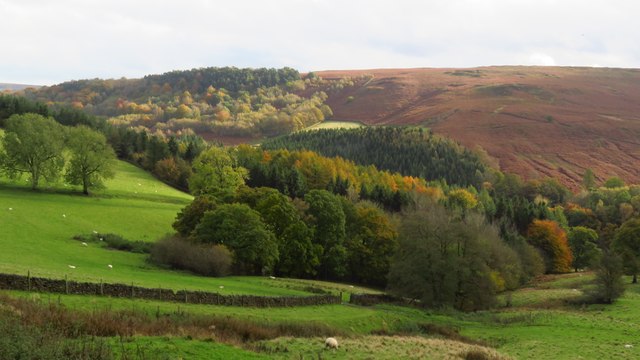
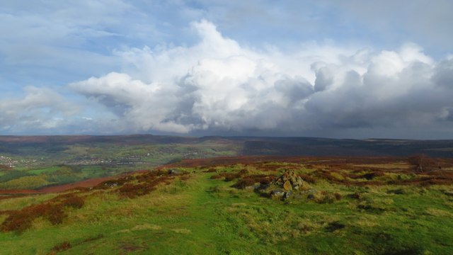
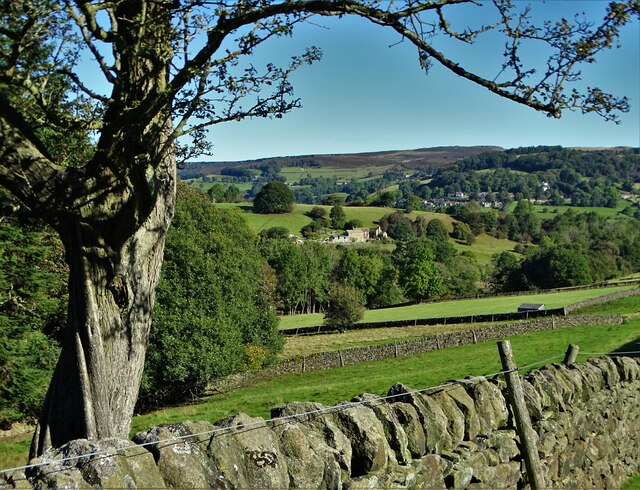
Abney Clough is a picturesque valley located in Derbyshire, England. Nestled within the Peak District National Park, it is surrounded by rolling hills and lush greenery, making it a popular destination for hikers, nature enthusiasts, and those seeking a peaceful retreat.

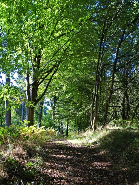
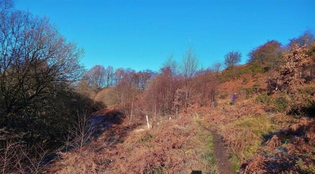
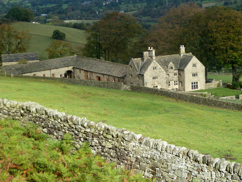
The valley is known for its outstanding natural beauty, boasting a diverse ecosystem of woodlands, meadows, and a meandering river that runs through it. The river, known as the Abney Brook, adds to the charm and tranquility of the area, with its calming sounds and crystal-clear waters. It is also home to a variety of flora and fauna, including rare bird species, making it a haven for birdwatchers and wildlife enthusiasts.

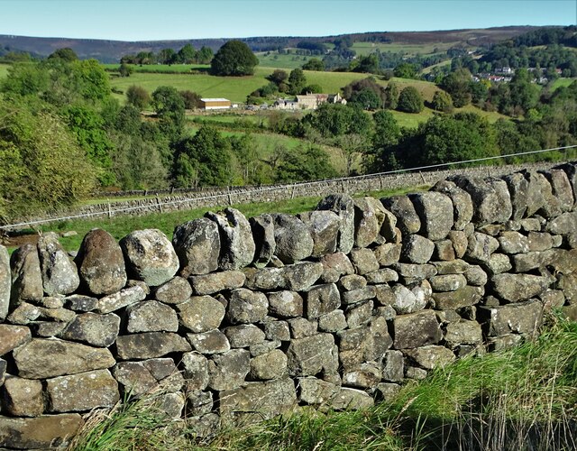
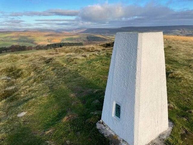
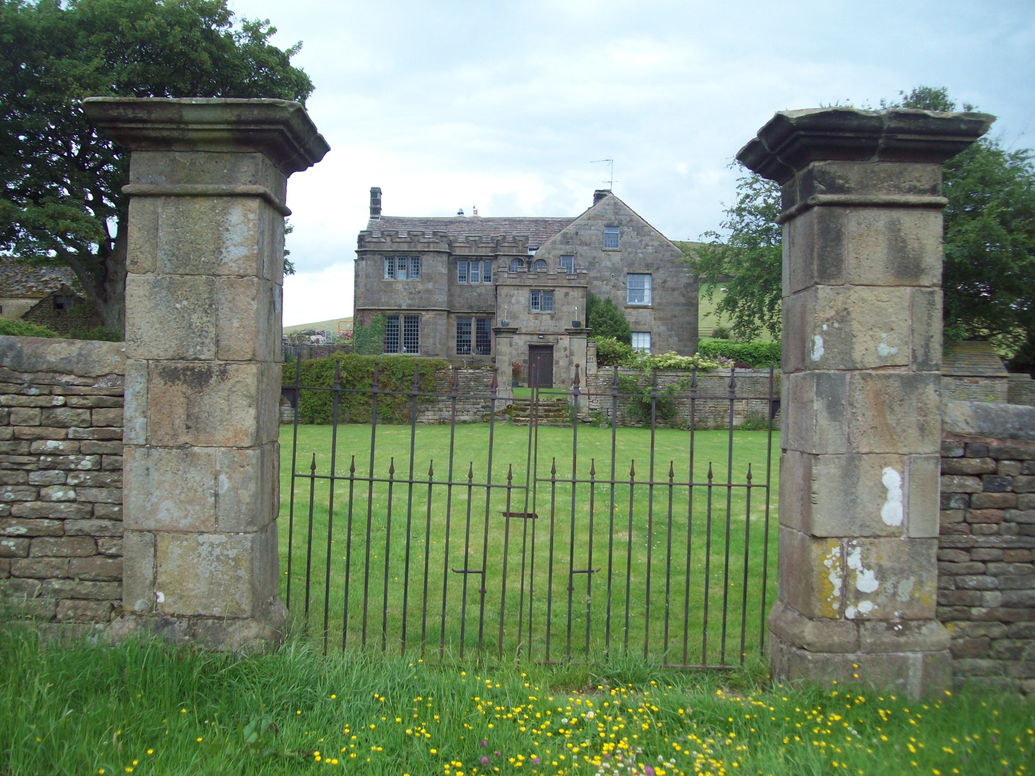
Abney Clough offers visitors a range of walking trails, varying in difficulty and length, catering to individuals of different fitness levels. These trails allow visitors to explore the valley's stunning landscapes, including ancient woodlands, wildflower meadows, and rocky outcrops. Along the way, walkers can enjoy breathtaking views of the surrounding countryside and even catch a glimpse of historical landmarks such as the 18th-century Abney Hall.

The valley is easily accessible by road, and there is ample parking available for visitors. It is also well connected to nearby towns and villages, making it a convenient day trip destination for both locals and tourists.

In summary, Abney Clough is a natural gem located in Derbyshire's Peak District National Park. With its stunning landscapes, diverse wildlife, and peaceful atmosphere, it offers a perfect escape from the hustle and bustle of everyday life. Whether it's a leisurely stroll or an adventurous hike, this valley has something to offer for everyone.

If you have any feedback on the listing, please let us know in the comments section below.
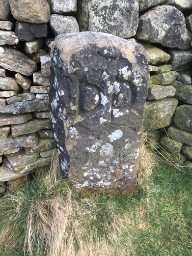
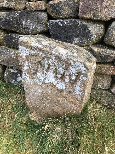
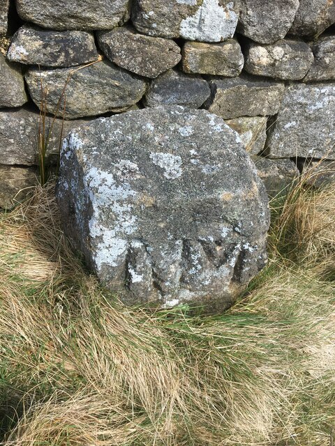
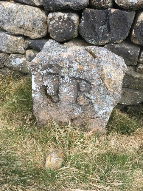
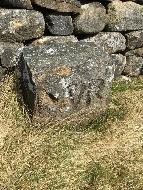
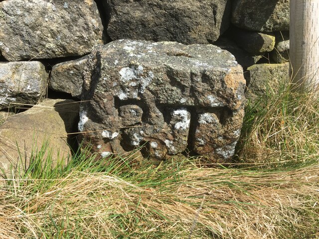
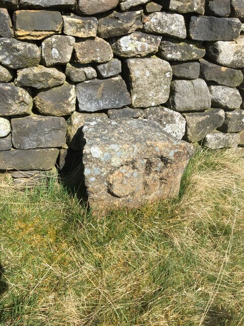
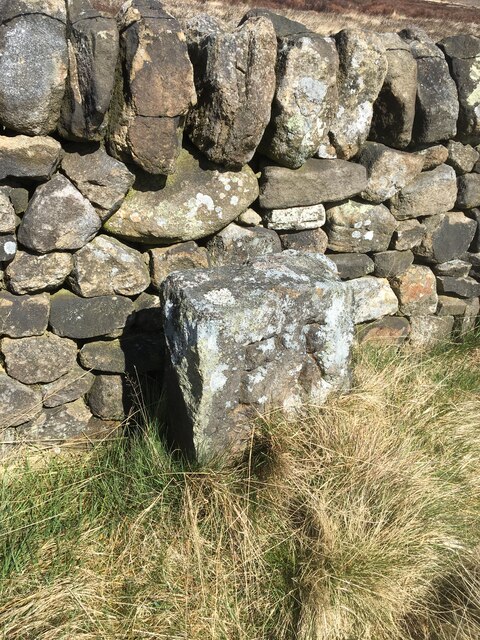
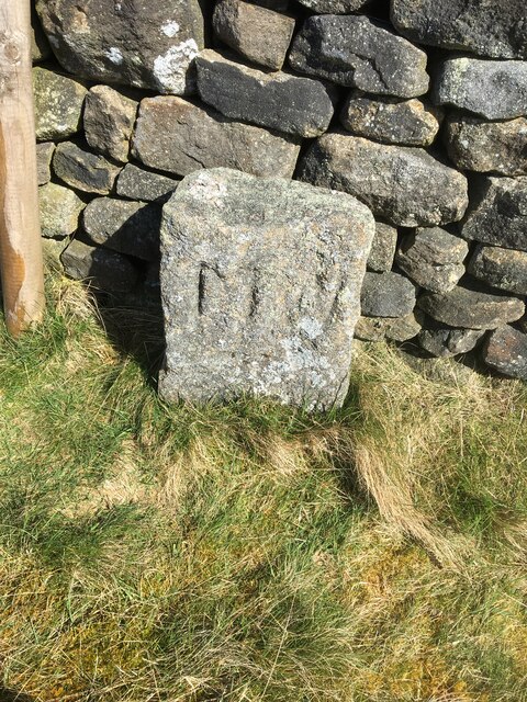
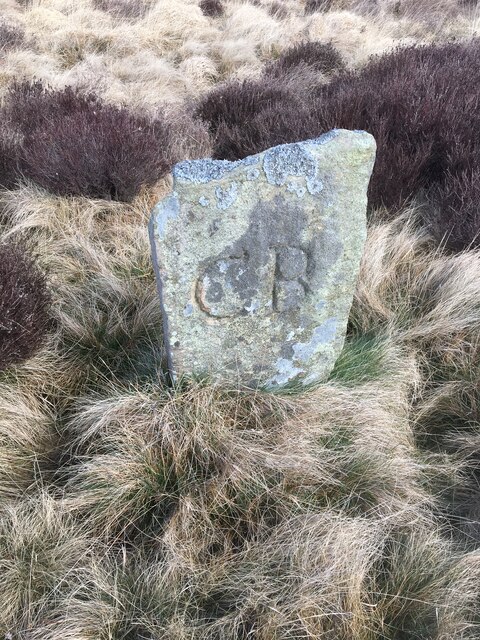
Abney Clough Images

Images are sourced within 2km of 53.31384/-1.6895496 or Grid Reference SK2079. Thanks to Geograph Open Source API. All images are credited.

View across valley of Highlow Brook towards Brook Wood
Path running north from Sir William Hill After the rain.
Path running north from Sir William Hill
After the rain.
View to Broadhay from Highlow Wood Broadhay is the farm you can see in the centre of this photograph with Hathersage beyond
View to Broadhay from Highlow Wood
Broadhay is the farm you can see in the centre of this photograph with Hathersage beyond
Drystone wall  with view to Broadhay
Drystone wall with view to Broadhay
In Callow Wood
In Callow Wood
Bretton Clough The trees planted about 8 years ago have naturally grown. See an older photo by Peter Barr <a href="https://www.geograph.org.uk/photo/3791331">SK2078 : Bretton Clough</a>. The tree guards were left in place but hundreds were unofficially removed by volunteers taking Covid lockdown exercise in 2020/21. The plastic was removed and disposed of responsibly.
Bretton Clough
The trees planted about 8 years ago have naturally grown. See an older photo by Peter Barr SK2078 : Bretton Clough. The tree guards were left in place but hundreds were unofficially removed by volunteers taking Covid lockdown exercise in 2020/21. The plastic was removed and disposed of responsibly.
Sir William Hill trig
Old Boundary Marker by Siney Sitch on Abney Moor Estate Boundary Marker in the valley of Siney Sitch on Abney Moor. Inscribed D D thought to be for the Duke of Devonshire. Brough and Shatton parish. The inscription indicates this marks the boundary of an estate.

Milestone Society National ID: DE_BRSH01em
Old Boundary Marker by Siney Sitch on Abney Moor
Estate Boundary Marker in the valley of Siney Sitch on Abney Moor. Inscribed D D thought to be for the Duke of Devonshire. Brough and Shatton parish. The inscription indicates this marks the boundary of an estate. Milestone Society National ID: DE_BRSH01em
Old Boundary Marker by Siney Sitch on Abney Moor Estate Boundary Marker against a drystone wall in the valley of Siney Sitch on Abney Moor. Inscribed D D thought to be for the Duke of Devonshire. Abney and Abney Grange parish. The inscription indicates this marks the boundary of an estate.

Milestone Society National ID: DE_AAG02em
Old Boundary Marker by Siney Sitch on Abney Moor
Estate Boundary Marker against a drystone wall in the valley of Siney Sitch on Abney Moor. Inscribed D D thought to be for the Duke of Devonshire. Abney and Abney Grange parish. The inscription indicates this marks the boundary of an estate. Milestone Society National ID: DE_AAG02em
Old Boundary Marker by Siney Sitch on Abney Moor Estate Boundary Marker against a drystone wall in the valley of Siney Sitch on Abney Moor. Inscribed W W thought to be for local landowner Walter Wilson. Abney and Abney Grange parish. The inscription indicates this marks the boundary of an estate.

Milestone Society National ID: DE_AAG03em
Old Boundary Marker by Siney Sitch on Abney Moor
Estate Boundary Marker against a drystone wall in the valley of Siney Sitch on Abney Moor. Inscribed W W thought to be for local landowner Walter Wilson. Abney and Abney Grange parish. The inscription indicates this marks the boundary of an estate. Milestone Society National ID: DE_AAG03em
Old Boundary Marker by Siney Sitch on Abney Moor Estate Boundary Marker against a drystone wall in the valley of Siney Sitch on Abney Moor. Abney and Abney Grange parish. The inscription indicates this marks the boundary of an estate.

Milestone Society National ID: DE_AAG04em
Old Boundary Marker by Siney Sitch on Abney Moor
Estate Boundary Marker against a drystone wall in the valley of Siney Sitch on Abney Moor. Abney and Abney Grange parish. The inscription indicates this marks the boundary of an estate. Milestone Society National ID: DE_AAG04em
Old Boundary Marker by Siney Sitch on Abney Moor Estate Boundary Marker against a drystone wall in the valley of Siney Sitch on Abney Moor. Abney and Abney Grange parish. The inscription indicates this marks the boundary of an estate.

Milestone Society National ID: DE_AAG05em
Old Boundary Marker by Siney Sitch on Abney Moor
Estate Boundary Marker against a drystone wall in the valley of Siney Sitch on Abney Moor. Abney and Abney Grange parish. The inscription indicates this marks the boundary of an estate. Milestone Society National ID: DE_AAG05em
Old Boundary Marker by Siney Sitch on Abney Moor Estate Boundary Marker against a drystone wall in the valley of Siney Sitch on Abney Moor. Abney and Abney Grange parish. The inscription indicates this marks the boundary of an estate.

Milestone Society National ID: DE_AAG06em
Old Boundary Marker by Siney Sitch on Abney Moor
Estate Boundary Marker against a drystone wall in the valley of Siney Sitch on Abney Moor. Abney and Abney Grange parish. The inscription indicates this marks the boundary of an estate. Milestone Society National ID: DE_AAG06em
Old Boundary Marker by Siney Sitch on Abney Moor Estate Boundary Marker against a drystone wall in the valley of Siney Sitch on Abney Moor. Abney and Abney Grange parish. The inscription indicates this mark the boundary of an estate.

Milestone Society National ID: DE_AAG07em
Old Boundary Marker by Siney Sitch on Abney Moor
Estate Boundary Marker against a drystone wall in the valley of Siney Sitch on Abney Moor. Abney and Abney Grange parish. The inscription indicates this mark the boundary of an estate. Milestone Society National ID: DE_AAG07em
Old Boundary Marker by Siney Sitch on Abney Moor Estate Boundary Marker against a drystone wall in the valley of Siney Sitch on Abney Moor. Abney and Abney Grange parish. The inscription indicates this mark the boundary of an estate.

Milestone Society National ID: DE_AAG08em
Old Boundary Marker by Siney Sitch on Abney Moor
Estate Boundary Marker against a drystone wall in the valley of Siney Sitch on Abney Moor. Abney and Abney Grange parish. The inscription indicates this mark the boundary of an estate. Milestone Society National ID: DE_AAG08em
Old Boundary Marker by Siney Sitch on Abney Moor Estate Boundary Marker against a drystone wall in the valley of Siney Sitch on Abney Moor. Abney and Abney Grange parish. The inscription indicates this mark the boundary of an estate.

Milestone Society National ID: DE_AAG09em
Old Boundary Marker by Siney Sitch on Abney Moor
Estate Boundary Marker against a drystone wall in the valley of Siney Sitch on Abney Moor. Abney and Abney Grange parish. The inscription indicates this mark the boundary of an estate. Milestone Society National ID: DE_AAG09em
Old Boundary Marker by Siney Sitch on Abney Moor Estate Boundary Marker against a drystone wall in the valley of Siney Sitch on Abney Moor. Abney and Abney Grange parish. The inscription indicates this mark the boundary of an estate.

Milestone Society National ID: DE_AAG10em
Old Boundary Marker by Siney Sitch on Abney Moor
Estate Boundary Marker against a drystone wall in the valley of Siney Sitch on Abney Moor. Abney and Abney Grange parish. The inscription indicates this mark the boundary of an estate. Milestone Society National ID: DE_AAG10em
Old Boundary Marker by Siney Sitch on Abney Moor Estate Boundary Marker in the valley of Siney Sitch on Abney Moor. On the boundary of Abney and Abney Grange and Offerton parishes. The inscription indicates this marks the boundary of an estate.

Milestone Society National ID: DE_AAGOFF11em
Old Boundary Marker by Siney Sitch on Abney Moor
Estate Boundary Marker in the valley of Siney Sitch on Abney Moor. On the boundary of Abney and Abney Grange and Offerton parishes. The inscription indicates this marks the boundary of an estate. Milestone Society National ID: DE_AAGOFF11em
Show me another place!

Abney Clough is located at Grid Ref: SK2079 (Lat: 53.31384, Lng: -1.6895496)

Administrative County: Derbyshire

District: Derbyshire Dales

Police Authority: Derbyshire

What 3 Words

///handwriting.outsize.surveyors. Near Hathersage, Derbyshire

Related Wikis

Nearby Amenities

Located within 500m of 53.31384,-1.6895496
Stoke Ford
Place: locality
Source Name: local_knowledge
Lat/Long: 53.3119924/-1.6847879
Information: guidepost
Operator: Peak & Northern Footpaths Society
Ref: 99
Source: survey;gps
Tourism: information
Lat/Long: 53.3118057/-1.6846499
Barrier: stile
Material: wood
Source: survey;gps
Stile: stepover
Lat/Long: 53.3121813/-1.6845569
Bench
Backrest: yes
Lat/Long: 53.3120137/-1.684812
Barrier: kissing_gate
Lat/Long: 53.3122244/-1.6848569
The data included in this document is from www.openstreetmap.org. The data is made available under ODbL.

Have you been to Abney Clough?

Leave your review of Abney Clough below (or comments, questions and feedback).