White Edge Plantation

Wood, Forest in Derbyshire Derbyshire Dales

England

White Edge Plantation

Old Boundary Marker by Siney Sitch on Abney Moor Estate Boundary Marker in the valley of Siney Sitch on Abney Moor. Inscribed D D thought to be for the Duke of Devonshire. Brough and Shatton parish. The inscription indicates this marks the boundary of an estate.

Milestone Society National ID: DE_BRSH01em
Old Boundary Marker by Siney Sitch on Abney Moor Credit: D Garside

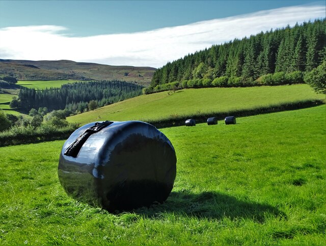
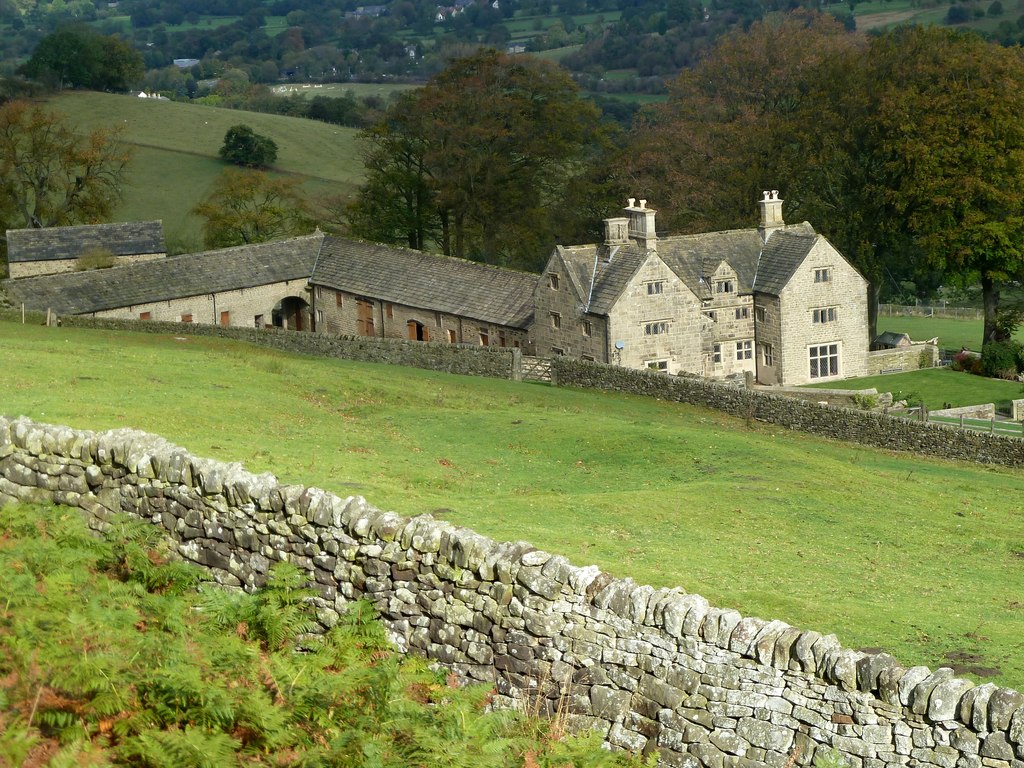
White Edge Plantation is a picturesque woodland located in Derbyshire, England. Situated near the village of Baslow, this enchanting plantation covers an expansive area of approximately 200 hectares. As part of the Peak District National Park, White Edge Plantation is renowned for its natural beauty and rich biodiversity.

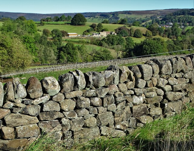
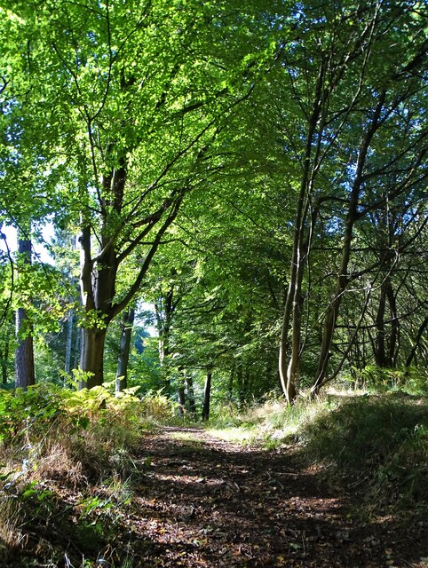
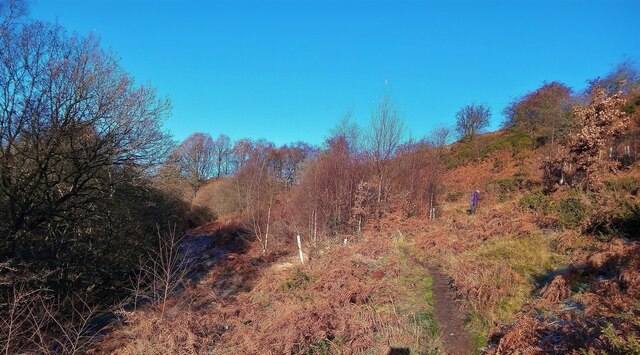
The plantation predominantly consists of native broadleaf trees, including oak, birch, and beech, which create a dense canopy overhead. This lush woodland is intersected by a network of well-maintained footpaths, allowing visitors to explore its diverse flora and fauna. The forest floor is adorned with a vibrant carpet of wildflowers, such as bluebells and primroses, during the spring months.

White Edge Plantation is also home to a variety of wildlife species. Birds such as woodpeckers, owls, and thrushes can be spotted among the treetops, while small mammals like squirrels and rabbits scurry through the underbrush. The plantation is particularly notable for its population of red deer, which can often be observed grazing in the open meadows adjacent to the woodland.

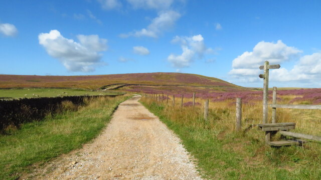
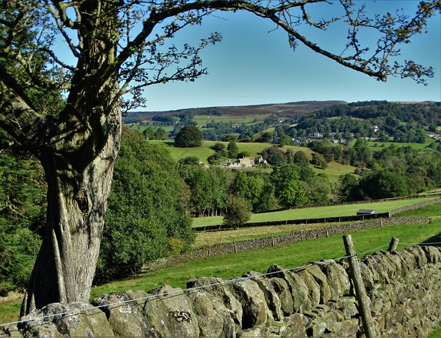
Visitors to White Edge Plantation can enjoy numerous recreational activities such as hiking, birdwatching, and photography. The plantation offers breathtaking panoramic views of the surrounding countryside, with vistas stretching across the rolling hills and valleys of Derbyshire. Whether seeking solitude in nature or embarking on an outdoor adventure, White Edge Plantation provides a tranquil and captivating escape for nature enthusiasts and explorers alike.

If you have any feedback on the listing, please let us know in the comments section below.

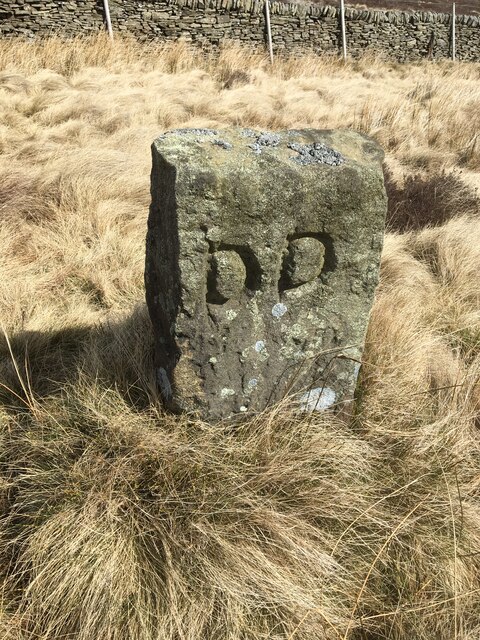
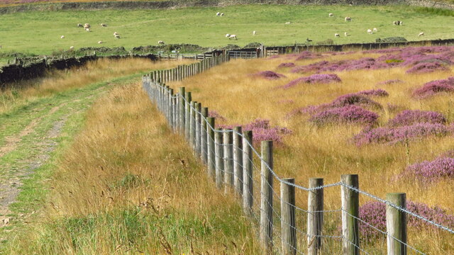
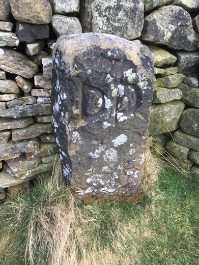
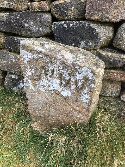
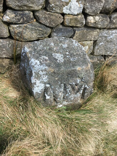
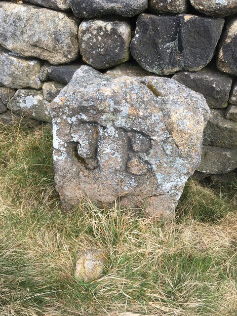
White Edge Plantation Images

Images are sourced within 2km of 53.314906/-1.6880709 or Grid Reference SK2079. Thanks to Geograph Open Source API. All images are credited.

Old Boundary Marker by Siney Sitch on Abney Moor Estate Boundary Marker in the valley of Siney Sitch on Abney Moor. Inscribed D D thought to be for the Duke of Devonshire. Brough and Shatton parish. The inscription indicates this marks the boundary of an estate.

Milestone Society National ID: DE_BRSH01em
Old Boundary Marker by Siney Sitch on Abney Moor
Estate Boundary Marker in the valley of Siney Sitch on Abney Moor. Inscribed D D thought to be for the Duke of Devonshire. Brough and Shatton parish. The inscription indicates this marks the boundary of an estate. Milestone Society National ID: DE_BRSH01em
Pond on Abney Moor
Pond on Abney Moor
Track & path jct NW end of Duper Lane, Abney
View SW towards northern end of Duper Lane, Abney
On Burton Bole, Abney Moor - view SW
On Shatton Lane with view to Win Hill
Abney Moor Footpath on Abney Moor.
Abney Moor
Footpath on Abney Moor.
Shatton Edge View across the valley to Shatton Edge.
Shatton Edge
View across the valley to Shatton Edge.
It's not that deep Overtaking on the stepping stones
It's not that deep
Overtaking on the stepping stones
View to Broadhay from Highlow Wood Broadhay is the farm you can see in the centre of this photograph with Hathersage beyond
View to Broadhay from Highlow Wood
Broadhay is the farm you can see in the centre of this photograph with Hathersage beyond
Hay bales wrapped in plastic With Birch Low to the right. One wonders how much plastic is used in this way in The British Isles each year. Farmers never used to use it.
Hay bales wrapped in plastic
With Birch Low to the right. One wonders how much plastic is used in this way in The British Isles each year. Farmers never used to use it.
Drystone wall  with view to Broadhay
Drystone wall with view to Broadhay
In Callow Wood
In Callow Wood
Bretton Clough The trees planted about 8 years ago have naturally grown. See an older photo by Peter Barr <a href="https://www.geograph.org.uk/photo/3791331">SK2078 : Bretton Clough</a>. The tree guards were left in place but hundreds were unofficially removed by volunteers taking Covid lockdown exercise in 2020/21. The plastic was removed and disposed of responsibly.
Bretton Clough
The trees planted about 8 years ago have naturally grown. See an older photo by Peter Barr SK2078 : Bretton Clough. The tree guards were left in place but hundreds were unofficially removed by volunteers taking Covid lockdown exercise in 2020/21. The plastic was removed and disposed of responsibly.
Old Boundary Marker by Siney Sitch on Abney Moor Estate Boundary Marker against a drystone wall in the valley of Siney Sitch on Abney Moor. Inscribed D D thought to be for the Duke of Devonshire. Abney and Abney Grange parish. The inscription indicates this marks the boundary of an estate.

Milestone Society National ID: DE_AAG02em
Old Boundary Marker by Siney Sitch on Abney Moor
Estate Boundary Marker against a drystone wall in the valley of Siney Sitch on Abney Moor. Inscribed D D thought to be for the Duke of Devonshire. Abney and Abney Grange parish. The inscription indicates this marks the boundary of an estate. Milestone Society National ID: DE_AAG02em
Old Boundary Marker by Siney Sitch on Abney Moor Estate Boundary Marker against a drystone wall in the valley of Siney Sitch on Abney Moor. Inscribed W W thought to be for local landowner Walter Wilson. Abney and Abney Grange parish. The inscription indicates this marks the boundary of an estate.

Milestone Society National ID: DE_AAG03em
Old Boundary Marker by Siney Sitch on Abney Moor
Estate Boundary Marker against a drystone wall in the valley of Siney Sitch on Abney Moor. Inscribed W W thought to be for local landowner Walter Wilson. Abney and Abney Grange parish. The inscription indicates this marks the boundary of an estate. Milestone Society National ID: DE_AAG03em
Old Boundary Marker by Siney Sitch on Abney Moor Estate Boundary Marker against a drystone wall in the valley of Siney Sitch on Abney Moor. Abney and Abney Grange parish. The inscription indicates this marks the boundary of an estate.

Milestone Society National ID: DE_AAG04em
Old Boundary Marker by Siney Sitch on Abney Moor
Estate Boundary Marker against a drystone wall in the valley of Siney Sitch on Abney Moor. Abney and Abney Grange parish. The inscription indicates this marks the boundary of an estate. Milestone Society National ID: DE_AAG04em
Old Boundary Marker by Siney Sitch on Abney Moor Estate Boundary Marker against a drystone wall in the valley of Siney Sitch on Abney Moor. Abney and Abney Grange parish. The inscription indicates this marks the boundary of an estate.

Milestone Society National ID: DE_AAG05em
Old Boundary Marker by Siney Sitch on Abney Moor
Estate Boundary Marker against a drystone wall in the valley of Siney Sitch on Abney Moor. Abney and Abney Grange parish. The inscription indicates this marks the boundary of an estate. Milestone Society National ID: DE_AAG05em
Show me another place!

White Edge Plantation is located at Grid Ref: SK2079 (Lat: 53.314906, Lng: -1.6880709)

Administrative County: Derbyshire

District: Derbyshire Dales

Police Authority: Derbyshire

What 3 Words

///beakers.creamed.even. Near Hathersage, Derbyshire

Related Wikis

Abney and Abney Grange

Abney and Abney Grange is a civil parish in the Derbyshire Dales district of Derbyshire, England. It covers the villages of Abney and Abney Grange....
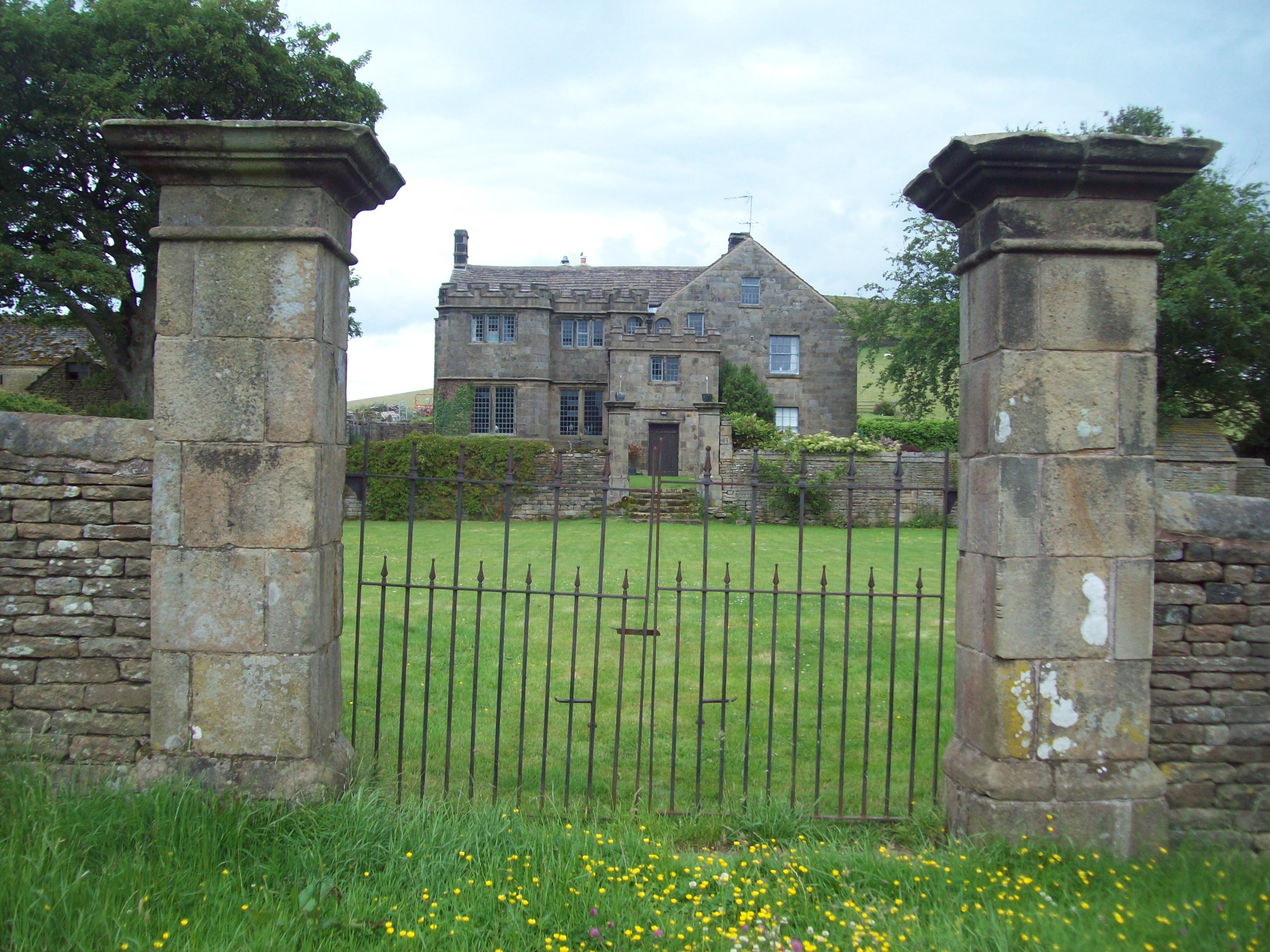
Highlow Hall

Highlow Hall is a historic Elizabethan manor house in Highlow civil parish, near Hathersage, Derbyshire, England. It was owned by the Eyre family from...

Offerton, Derbyshire

Offerton is a hamlet and civil parish in the Derbyshire Dales district, in Derbyshire, England. It lies on the River Derwent. The village features Offerton...

Highlow

Highlow is a civil parish within the Derbyshire Dales district, in the county of Derbyshire, England. Largely rural, Highlow's population is reported with...

Bretton Brook

Bretton Brook is a stream flowing through Bretton in the Derbyshire Peak District. The stream is a tributary of the Highlow Brook, which is a direct...

Highlow Brook

Highlow Brook is a stream in the civil parish of Highlow in the Derbyshire Peak District. The stream is a tributaries of the River Derwent, flowing southeast...

Eyam Moor

Eyam Moor is a plateau-topped hill between the villages of Eyam and Hathersage in Derbyshire, in the Peak District of England. The summit of Sir William...

Abney, Derbyshire

Abney (Old English Abba's Island) is a village in the English county of Derbyshire. The settlement was mentioned as Habenai in the Domesday book of 1086...

Nearby Amenities

Located within 500m of 53.314906,-1.6880709
Stoke Ford
Place: locality
Source Name: local_knowledge
Lat/Long: 53.3119924/-1.6847879
Information: guidepost
Operator: Peak & Northern Footpaths Society
Ref: 99
Source: survey;gps
Tourism: information
Lat/Long: 53.3118057/-1.6846499
Barrier: stile
Material: wood
Source: survey;gps
Stile: stepover
Lat/Long: 53.3121813/-1.6845569
Bench
Backrest: yes
Lat/Long: 53.3120137/-1.684812
Barrier: kissing_gate
Lat/Long: 53.3122244/-1.6848569
The data included in this document is from www.openstreetmap.org. The data is made available under ODbL.

Have you been to White Edge Plantation?

Leave your review of White Edge Plantation below (or comments, questions and feedback).