Park Hill
Hill, Mountain in Yorkshire
England
Park Hill
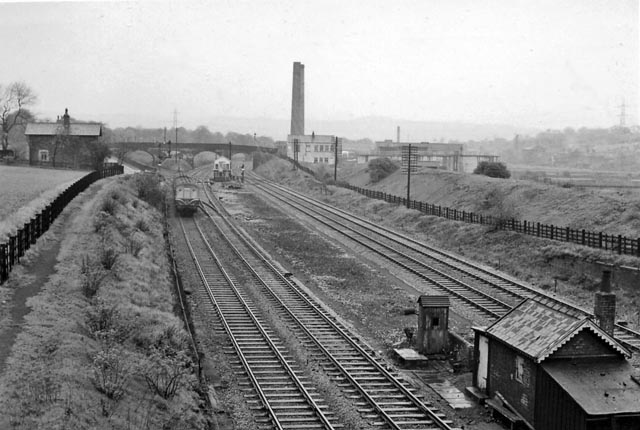
Park Hill is a prominent hill located in the county of Yorkshire, England. It is situated in the eastern part of the county, near the town of Sheffield. Standing at an elevation of approximately 272 meters (892 feet), Park Hill overlooks the city and offers stunning panoramic views of the surrounding landscape.
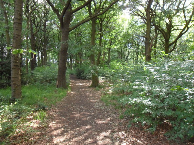
The hill is part of the Peak District National Park, renowned for its natural beauty and diverse wildlife. Park Hill is covered in lush green vegetation, including grasses, shrubs, and trees, which provide a habitat for various species of birds, mammals, and insects.
Visitors to Park Hill can enjoy a range of outdoor activities, such as hiking, walking, and picnicking. The hill features well-maintained footpaths and trails that lead up to its summit, allowing visitors to explore its slopes and enjoy the breathtaking vistas. On a clear day, one can see the city of Sheffield, as well as the rolling hills and valleys that stretch out towards the horizon.
In addition to its natural beauty, Park Hill also holds historical significance. It is believed that the hill has been inhabited since prehistoric times, with evidence of ancient settlements and burial mounds found in the vicinity. The hill has also been used as a grazing area for livestock throughout the centuries, contributing to the rural heritage of the region.
Overall, Park Hill in Yorkshire offers a perfect blend of natural splendor and historical charm, making it a favored destination for nature enthusiasts and history buffs alike.
If you have any feedback on the listing, please let us know in the comments section below.
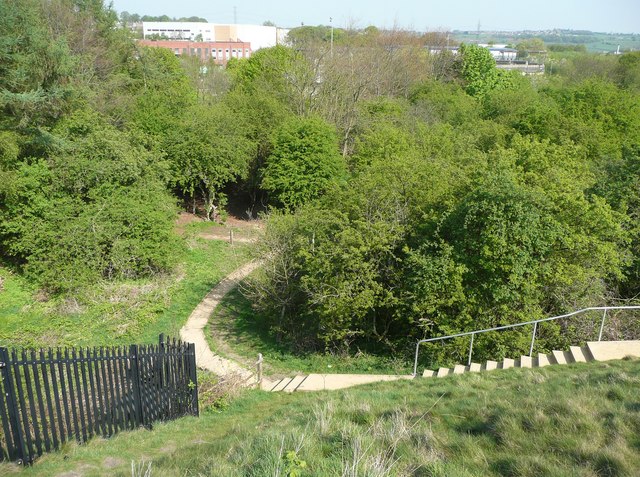
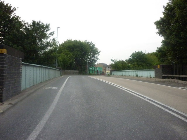
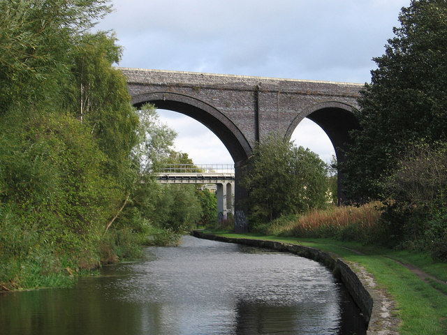
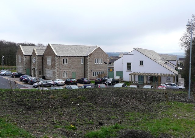
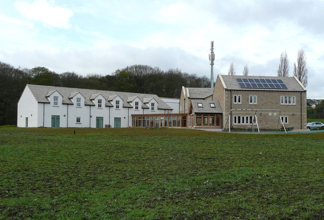
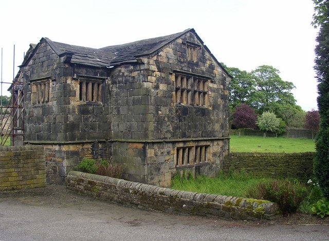
Park Hill Images
Images are sourced within 2km of 53.686257/-1.7507776 or Grid Reference SE1621. Thanks to Geograph Open Source API. All images are credited.


Park Hill is located at Grid Ref: SE1621 (Lat: 53.686257, Lng: -1.7507776)
Division: West Riding
Unitary Authority: Kirklees
Police Authority: West Yorkshire
What 3 Words
///socket.slams.played. Near Brighouse, West Yorkshire
Nearby Locations
Related Wikis

Bradley, Huddersfield
Bradley is a district of Huddersfield, West Yorkshire, England, 3 miles north-east of the town centre. It is generally just off the A62 Leeds Road and...

Robin Hood's Grave
Robin Hood's Grave is the name given to a monument in Kirklees Park Estate, West Yorkshire, England, near the now-ruined Kirklees Priory. It is alleged...
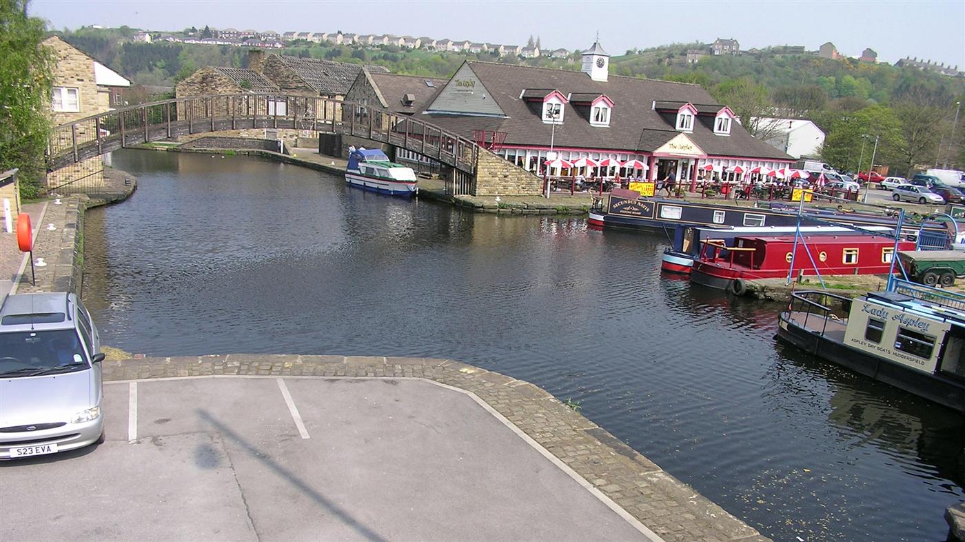
Huddersfield Broad Canal
The Huddersfield Broad Canal or Sir John Ramsden's Canal, is a wide-locked navigable canal in West Yorkshire in northern England. The waterway is 3.75...
Kirklees Hall
Kirklees Hall is a 16th-century Grade I listed Jacobean hall, close to the English village of Clifton in Calderdale, West Yorkshire. The first evidence...

Cooper Bridge railway station
Cooper Bridge was a railway station built by the Manchester and Leeds Railway to serve the town of Huddersfield in West Yorkshire, England. == History... ==
Bradley railway station
Bradley railway station served the district of Bradley, West Yorkshire, England until closure in 1950. == History == Bradley station was opened in 1847...
Kirklees Priory
Kirklees Priory was a Cistercian nunnery whose site is in the present-day Kirklees Park, Clifton near Brighouse, Calderdale, West Yorkshire, England. It...

Colne Bridge Mill
Colne Bridge Mill (English: ) was a factory, built in 1775, in the village of Colne Bridge near Bradley and Kirkheaton, Huddersfield, West Yorkshire, England...
Related Videos
WETHERSPOONS FULL ENGLISH BREAKFAST - Is it all hype ??? - Food Review - WETHERSPOONS WEEK - Day 3
WETHERSPOONS FULL ENGLISH BREAKFAST - Is it all hype ??? - Food Review - WETHERSPOONS WEEK - Day 3 ...


WETHERSPOONS CURRY CLUB - Chicken Tikka Masala with Basmati Rice, Naan Bread WETHERSPOONS WEEK DAY 4
WETHERSPOONS CURRY CLUB - Chicken Tikka Masala with Basmati Rice, Naan Bread WETHERSPOONS WEEK DAY 4 ...
FART COMPILATION
we all fart I just happen to film these ones lol. all in 1 evening.
Nearby Amenities
Located within 500m of 53.686257,-1.7507776Have you been to Park Hill?
Leave your review of Park Hill below (or comments, questions and feedback).