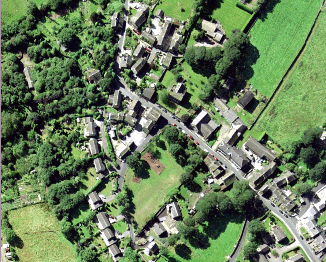
Sude Hill

Hill, Mountain in Yorkshire

England

Sude Hill

Old milestone On the A635 from Shepley Lane Head down into New Mills and Holmfirth is a West Riding CC 19C milestone which is the last in the series east from Greenfield which used to be in Yorkshire.  The tollroad from Greenfield to Shepley Lane Head was first enacted in 1823. The milestone is opposite Gate Foot Lane and a pub.   This used to be the Crossroads PH then renamed Toss 'o Coin now derelict.   This metal attachment has the name of the foundry on the bevel, Brayshaw & Booth/Makers/Liversedge.  The stone is painted black.  Grade II listed 1313617.
Old milestone Credit: Chris Minto

Sude Hill, located in the county of Yorkshire, England, is a prominent hill/mountain that offers breathtaking views and a rich natural environment. Standing at an elevation of approximately 450 meters (1,480 feet) above sea level, it is one of the noteworthy peaks in the region.

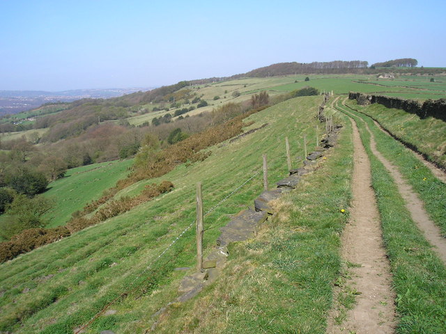
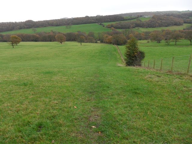
Sude Hill is situated within the North York Moors National Park, a protected area known for its outstanding beauty and diverse wildlife. The hill itself is characterized by its gently sloping sides and a distinct peak that provides a vantage point for panoramic views of the surrounding landscapes.

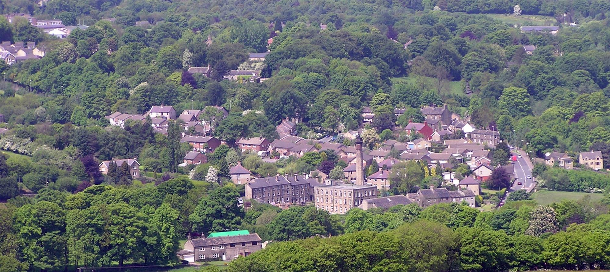
The vegetation on Sude Hill is primarily composed of heather moorland, interspersed with patches of grasses and shrubs. This unique habitat supports a variety of plant and animal species, including the rare bilberry, cotton grass, and curlew birds. The hill's geographical location also contributes to its scenic beauty, as it offers vistas of rolling hills, deep valleys, and nearby villages.

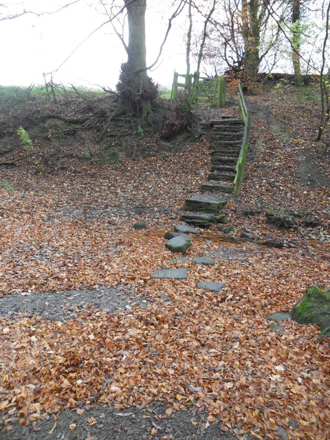
Sude Hill is a popular destination for outdoor enthusiasts, attracting hikers, walkers, and nature lovers. Several well-marked footpaths and trails traverse the area, allowing visitors to explore its natural wonders. One such trail is the Cleveland Way, a long-distance footpath that passes through Sude Hill, offering stunning views along its route.

Overall, Sude Hill in Yorkshire is a captivating destination that combines natural beauty, biodiversity, and recreational opportunities. Whether it's admiring the picturesque scenery or immersing oneself in the tranquility of the moors, this hill/mountain provides an unforgettable experience for those who venture to its summit.

If you have any feedback on the listing, please let us know in the comments section below.
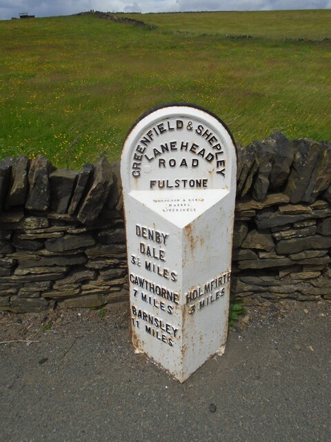
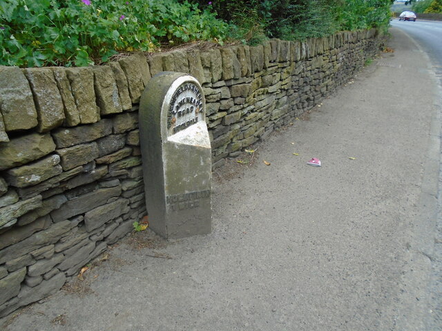
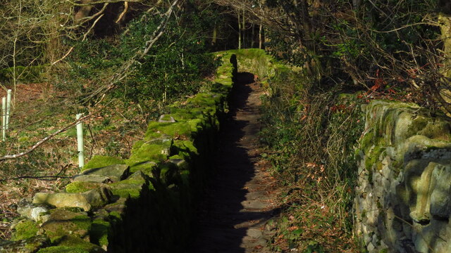
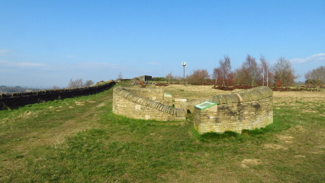
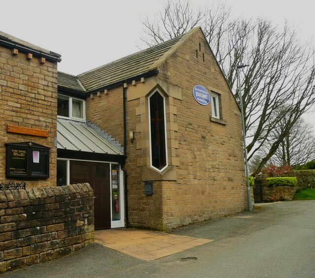
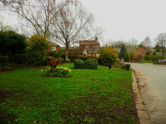
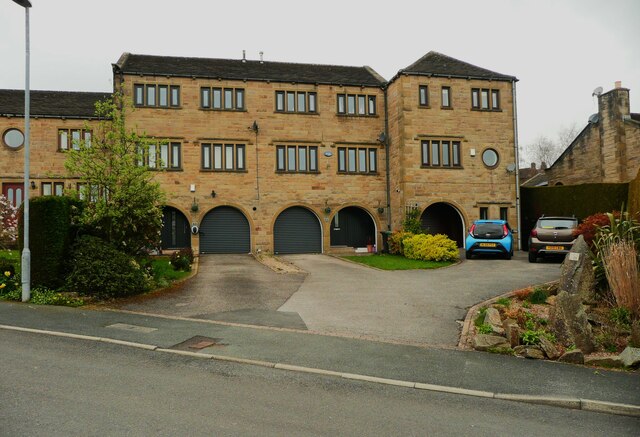
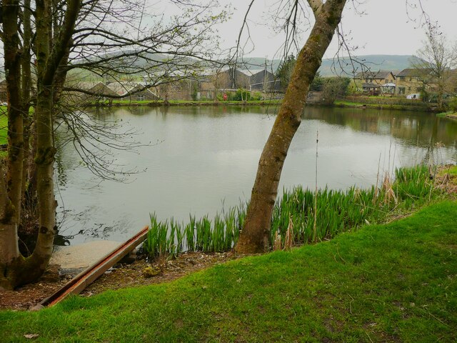
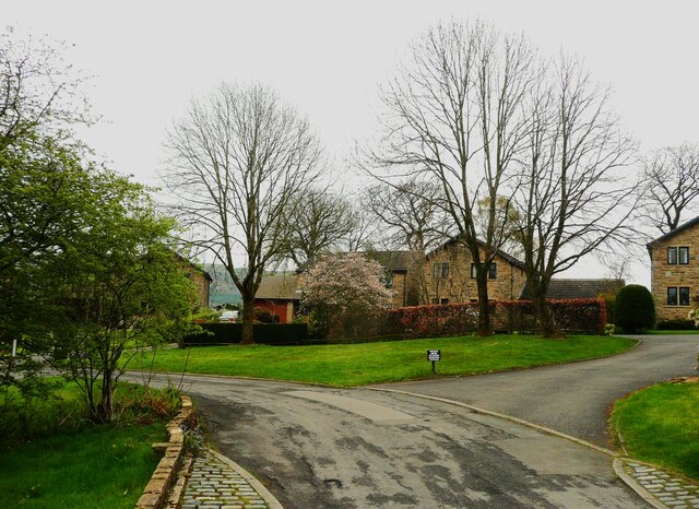
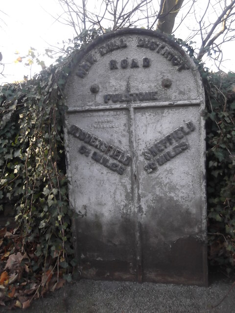
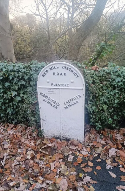
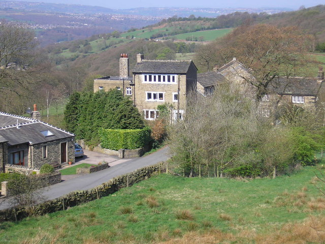
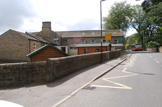
Sude Hill Images

Images are sourced within 2km of 53.575425/-1.7514744 or Grid Reference SE1608. Thanks to Geograph Open Source API. All images are credited.

Old milestone On the A635 from Shepley Lane Head down into New Mills and Holmfirth is a West Riding CC 19C milestone which is the last in the series east from Greenfield which used to be in Yorkshire.  The tollroad from Greenfield to Shepley Lane Head was first enacted in 1823. The milestone is opposite Gate Foot Lane and a pub.   This used to be the Crossroads PH then renamed Toss 'o Coin now derelict.   This metal attachment has the name of the foundry on the bevel, Brayshaw & Booth/Makers/Liversedge.  The stone is painted black.  Grade II listed 1313617.
Old milestone
On the A635 from Shepley Lane Head down into New Mills and Holmfirth is a West Riding CC 19C milestone which is the last in the series east from Greenfield which used to be in Yorkshire. The tollroad from Greenfield to Shepley Lane Head was first enacted in 1823. The milestone is opposite Gate Foot Lane and a pub. This used to be the Crossroads PH then renamed Toss 'o Coin now derelict. This metal attachment has the name of the foundry on the bevel, Brayshaw & Booth/Makers/Liversedge. The stone is painted black. Grade II listed 1313617.
Old milestone On a bend on the south side of the A635 between Holmfirth and New Mills is this 19C West Riding CC milestone.   This area is called Wooldale and that name is on the top section.  Left face - HOLMFIRTH/1 MILE, right face - DENBY/DALE/5¾ MILES/CAWTHORNE/9 MILES/BARNSLEY/13 MILES.   The foundry name, BRAYSHAW & BOOTH/LIVERSEDGE is on the bevel.   Grade II listed 1313589.  It is in need of a clean and possible repaint.
Old milestone
On a bend on the south side of the A635 between Holmfirth and New Mills is this 19C West Riding CC milestone. This area is called Wooldale and that name is on the top section. Left face - HOLMFIRTH/1 MILE, right face - DENBY/DALE/5¾ MILES/CAWTHORNE/9 MILES/BARNSLEY/13 MILES. The foundry name, BRAYSHAW & BOOTH/LIVERSEDGE is on the bevel. Grade II listed 1313589. It is in need of a clean and possible repaint.
Interior of St Andrew's church, Thongsbridge For the outside of the church, see <a href="https://www.geograph.org.uk/photo/751457">SE1409 : St Andrew's Church, Thongsbridge, Wooldale</a>. This is the inside, looking liturgical west (geographically south-west). 

The church was built in 1877 as a chapel of ease. A school was added in 1891. There was a burial ground opened in 1938 but it was never used for burials and was sold in 1988. 

Note: the building was closed for worship in 2013 and sold to a private owner in 2020 (after this photo was taken) with planning permission for residential conversion, so is no longer publicly accessible. This view shows it as it had been as a place of worship.
Interior of St Andrew's church, Thongsbridge
For the outside of the church, see SE1409 : St Andrew's Church, Thongsbridge, Wooldale. This is the inside, looking liturgical west (geographically south-west). The church was built in 1877 as a chapel of ease. A school was added in 1891. There was a burial ground opened in 1938 but it was never used for burials and was sold in 1988. Note: the building was closed for worship in 2013 and sold to a private owner in 2020 (after this photo was taken) with planning permission for residential conversion, so is no longer publicly accessible. This view shows it as it had been as a place of worship.
Hepworth - Holy Trinity Church
Enclosed path running N down to Dean Dike from Hepworth Church
Stone sculpture with seating area at Wooldale Cliff above Holmfirth
Scholes Methodist Church, Wadman Road This is the entrance doorway and a tall corner window.
Scholes Methodist Church, Wadman Road
This is the entrance doorway and a tall corner window.
A little park at the wells, White Wells Road, Scholes The pump base and well weren't photogenic; they could do with cleaning and tidying.
A little park at the wells, White Wells Road, Scholes
The pump base and well weren't photogenic; they could do with cleaning and tidying.
Houses on Wickleton Gate, Scholes Houses with an unusual design, with arched entrances to the lower ground floor.
Houses on Wickleton Gate, Scholes
Houses with an unusual design, with arched entrances to the lower ground floor.
Millpond, Lee Mills, Scholes This is now a fishing lake. I had hoped that there was a path alongside it to the bottom end of St George's Road but the gate was locked, with a Keep Out sign. The heron that I saw had no such problems.
Millpond, Lee Mills, Scholes
This is now a fishing lake. I had hoped that there was a path alongside it to the bottom end of St George's Road but the gate was locked, with a Keep Out sign. The heron that I saw had no such problems.
Grass and trees, Wickleden Gate, Scholes It is good that three mature trees have been spared and a grass are created for them. These trees were on an old field boundary, so were probably hedgerow trees. there was a small mill dam behind them.
Grass and trees, Wickleden Gate, Scholes
It is good that three mature trees have been spared and a grass are created for them. These trees were on an old field boundary, so were probably hedgerow trees. there was a small mill dam behind them.
Old milestone Where space on a road or path was limited, Brayshaw and Booth of Liversedge made flat castings for the West Riding CC instead of protruding ones.   This one is on the A616 Sheffield Road, New Mill opposite No. 30 Fulstone.   When a town name had more than 10 letters the name had to be cast at an angle as with Huddersfield.   Then Sheffield was cast the same way to match.   The foundry name on these flat plates is always at the top of the left-hand side.  This milestone is Grade II listed 1228473.
Old milestone
Where space on a road or path was limited, Brayshaw and Booth of Liversedge made flat castings for the West Riding CC instead of protruding ones. This one is on the A616 Sheffield Road, New Mill opposite No. 30 Fulstone. When a town name had more than 10 letters the name had to be cast at an angle as with Huddersfield. Then Sheffield was cast the same way to match. The foundry name on these flat plates is always at the top of the left-hand side. This milestone is Grade II listed 1228473.
Old Milestone, A616, Sheffield Road, New Mill Opposite No 30 Fulstone. Located on the West side of road, opposite a terrace row, against stone wall. Metal plate attached to stone post, Brayshaw & Booth casting design, erected by Wadsley & Langsett - New Mill District turnpike trust, 19th century. An earlier photograph can be found here <a title="https://www.geograph.org.uk/photo/6748931" href="https://www.geograph.org.uk/photo/6748931">Link</a>.

Inscription reads: HUDDERSFIELD / 6½ MILES :: SHEFFIELD / 20 MILES // NEW MILL DISTRICT / ROAD / FULSTONE :: BRAYSHAW & BOOTH / MAKERS / LIVERSEDGE 

Grade II listed by Historic England. <span class="nowrap"><a title="https://historicengland.org.uk/listing/the-list/list-entry/1228473" rel="nofollow ugc noopener" href="https://historicengland.org.uk/listing/the-list/list-entry/1228473">Link</a><img style="margin-left:2px;" alt="External link" title="External link - shift click to open in new window" src="https://s1.geograph.org.uk/img/external.png" width="10" height="10"/></span>

Milestone Society National ID: YW_SFHU20
Old Milestone, A616, Sheffield Road, New Mill
Opposite No 30 Fulstone. Located on the West side of road, opposite a terrace row, against stone wall. Metal plate attached to stone post, Brayshaw & Booth casting design, erected by Wadsley & Langsett - New Mill District turnpike trust, 19th century. An earlier photograph can be found here Link. Inscription reads: HUDDERSFIELD / 6½ MILES :: SHEFFIELD / 20 MILES // NEW MILL DISTRICT / ROAD / FULSTONE :: BRAYSHAW & BOOTH / MAKERS / LIVERSEDGE Grade II listed by Historic England. LinkExternal link Milestone Society National ID: YW_SFHU20
Top of the Hill A weavers' hamlet below Thurstonland.
Top of the Hill
A weavers' hamlet below Thurstonland.
Lane near Thurstonland An old lane along the edge of a steep drop.
Lane near Thurstonland
An old lane along the edge of a steep drop.
Thurstonland Primary School
Stone Wood Dike, near Shepley Stepping stones over Stone Wood Dike.
Stone Wood Dike, near Shepley
Stepping stones over Stone Wood Dike.
Field path, near Thurstonland Looking down field-edge path back towards Shepley.  Mathewman Wood is in the distance.
Field path, near Thurstonland
Looking down field-edge path back towards Shepley. Mathewman Wood is in the distance.
Show me another place!

Sude Hill is located at Grid Ref: SE1608 (Lat: 53.575425, Lng: -1.7514744)

Division: West Riding

Unitary Authority: Kirklees

Police Authority: West Yorkshire

What 3 Words

///plotted.punk.slanting. Near Holmfirth, West Yorkshire

Related Wikis

New Mill, West Yorkshire

New Mill, West Yorkshire, England, is a small, semi-rural village near the town of Holmfirth. It is in the metropolitan borough of Kirklees and the civil...

A635 road

The A635 is a main road that runs between Manchester and Doncaster running east–west through Stalybridge, Saddleworth Moor, Holmfirth, Barnsley and the...

Jackson Bridge

Jackson Bridge is a small village in the civil parish of Holme Valley in the Metropolitan Borough of Kirklees in West Yorkshire, England and within the...

Totties

Totties is a hamlet between New Mill and Scholes near Holmfirth in West Yorkshire, England. Although it consists of no more than 70-80 houses, it has within...

Wooldale

Wooldale is a small village nestled on a hill, overlooking the Kirkroyds area of New Mill, Holmfirth in West Yorkshire, England. It has a population of...

Scholes, Holme Valley

Scholes is a village and former civil parish, now in the parish of Holme Valley, in Kirklees, West Yorkshire, England. It is situated 1 mile (2 km) to...

Holmfirth High School

Holmfirth High School is a coeducational secondary school located on Heys Road in Thongsbridge, Holmfirth, West Yorkshire, England. Holmfirth High School...

Thurstonland

Thurstonland is a village in the civil parish of Kirkburton, in Kirklees, West Yorkshire, England. It has a population of almost 400. The village is on...

Nearby Amenities

Located within 500m of 53.575425,-1.7514744
Crossing
Crossing: zebra
Crossing Island: no
Source: survey
Tactile Paving: yes
Lat/Long: 53.5760754/-1.7558451
New Mill Crossroads
Junction: yes
Lat/Long: 53.5758675/-1.7551783
Bus Stop
Penistone Road Church Street
Bench: no
Bin: no
Bus: yes
Local Ref: 45020889
Naptan AtcoCode: 450020889
Naptan Bearing: W
Naptan CommonName: Penistone Road Church Street
Naptan Crossing: Church Street
Naptan Indicator: Stop 45020889
Naptan Landmark: Church
Naptan PlusbusZoneRef: LEEDS
Naptan ShortCommonName: Church Street
Naptan Street: Penistone Road
Naptan Verified: no
Public Transport: platform
Shelter: yes
Source: naptan_import
Lat/Long: 53.5740271/-1.7510304
Bus Stop
Penistone Road Church Street
Bench: no
Bin: no
Bus: yes
Local Ref: 45020890
Naptan AtcoCode: 450020890
Naptan Bearing: E
Naptan CommonName: Penistone Road Church Street
Naptan Crossing: Church Street
Naptan Indicator: Stop 45020890
Naptan Landmark: Church
Naptan PlusbusZoneRef: LEEDS
Naptan ShortCommonName: Church Street
Naptan Street: Penistone Road
Naptan Verified: no
Public Transport: platform
Shelter: no
Source: naptan_import
Lat/Long: 53.5740441/-1.7505622
Bus Stop
Holmfirth Road Greenhill Bank Road
Bench: yes
Bin: yes
Bus: yes
Lit: yes
Local Ref: 45022009
Naptan AtcoCode: 450022009
Naptan Bearing: SE
Naptan CommonName: Holmfirth Road Greenhill Bank Road
Naptan Crossing: Greenhill Bank Road
Naptan Indicator: Stop 45022009
Naptan PlusbusZoneRef: LEEDS
Naptan ShortCommonName: Greenhill Bank Road
Naptan Street: Holmfirth Road
Naptan Verified: no
Public Transport: platform
Shelter: yes
Source: naptan_import
Tactile Paving: no
Lat/Long: 53.5763029/-1.7562426
Bus Stop
Holmfirth Road Greenhill Bank Road
Bench: no
Bin: yes
Bus: yes
Lit: no
Local Ref: 45022010
Naptan AtcoCode: 450022010
Naptan Bearing: NW
Naptan CommonName: Holmfirth Road Greenhill Bank Road
Naptan Crossing: Greenhill Bank Road
Naptan Indicator: Stop 45022010
Naptan Landmark: Play Ground
Naptan PlusbusZoneRef: LEEDS
Naptan ShortCommonName: Greenhill Bank Road
Naptan Street: Holmfirth Road
Naptan Verified: no
Public Transport: platform
Shelter: yes
Source: naptan_import
Tactile Paving: no
Lat/Long: 53.5764114/-1.7565592
Bus Stop
Sheffield Road Spring Wood
Bus: yes
Local Ref: 45021995
Naptan AtcoCode: 450021995
Naptan Bearing: N
Naptan CommonName: Sheffield Road Spring Wood
Naptan Indicator: Stop 45021995
Naptan PlusbusZoneRef: LEEDS
Naptan ShortCommonName: New Mill Dike
Naptan Street: Sheffield Road
Naptan Verified: no
Public Transport: platform
Source: naptan_import
Lat/Long: 53.5729143/-1.7562923
Bus Stop
Sheffield Road Water Hall Court
Bench: no
Bin: yes
Bus: yes
Local Ref: 45021996
Naptan AtcoCode: 450021996
Naptan Bearing: N
Naptan CommonName: Sheffield Road Water Hall Court
Naptan Crossing: Water Hall Court
Naptan Indicator: Stop 45021996
Naptan Landmark: New Mill Club
Naptan PlusbusZoneRef: LEEDS
Naptan ShortCommonName: Water Hall Court
Naptan Street: Sheffield Road
Naptan Verified: no
Public Transport: platform
Shelter: yes
Source: naptan_import
Lat/Long: 53.5752943/-1.7553121
Bus Stop
Sheffield Road Water Hall Court
Bus: yes
Local Ref: 45021997
Naptan AtcoCode: 450021997
Naptan Bearing: S
Naptan CommonName: Sheffield Road Water Hall Court
Naptan Crossing: Water Hall Court
Naptan Indicator: Stop 45021997
Naptan Landmark: New Mill Club
Naptan PlusbusZoneRef: LEEDS
Naptan ShortCommonName: Water Hall Court
Naptan Street: Sheffield Road
Naptan Verified: no
Public Transport: platform
Source: naptan_import
Lat/Long: 53.5752669/-1.7551159
Sheffield Road
Local Ref: 45051179
Naptan AtcoCode: 450051179
Naptan Bearing: S
Naptan BusStopType: CUS
Naptan CommonName: Sheffield Road
Naptan Indicator: Stop 45051179
Naptan PlusbusZoneRef: LEEDS
Naptan ShortCommonName: Spring Wood
Naptan Street: Sheffield Road
Naptan Verified: no
Source: naptan_import
Lat/Long: 53.5728959/-1.7560961
Fast Food
Cuisine: pizza
Source: survey
Lat/Long: 53.5760736/-1.7552481
Turning Circle
The Crescent
Lat/Long: 53.5769219/-1.7577753
Barrier: stile
Stile: stepover
Lat/Long: 53.5759117/-1.7495965
Post Box
Collection Times: Mo-Fr 09:00; Sa 07:00
Operator: Royal Mail
Post Box Type: lamp
Ref: HD9 220D
Lat/Long: 53.5739441/-1.749934
Removed Amenity: telephone
Lat/Long: 53.5758081/-1.7555398
Post Box
Collection Plate Date: 2017-09-19
Collection Times: Mo-Fr 17:00; Sa 11:15
Operator: Royal Mail
Post Box Type: pillar
Ref: HD9 384
Royal Cypher: GVIR
Royal Cypher Wikidata: Q33102169
Source: survey
Lat/Long: 53.5760212/-1.7553746
Pharmacy
The Valley Pharmacy
Dispensing: yes
Healthcare: pharmacy
Phone: +44 1484 766097
Source: survey
Lat/Long: 53.5760964/-1.7553738
Fast Food
B Medina
Cuisine: asian
Source: survey
Lat/Long: 53.576088/-1.7551729
Crossing
Crossing: zebra
Source: survey
Lat/Long: 53.5753926/-1.7552309
Post Office
New Mill Post Office
Addr City: Holmfirth
Addr Country: GB
Addr Postcode: HD9 7JU
Addr Suburb: New Mill
Brand: Post Office
Brand Wikidata: Q1783168
Contact Website: https://www.postoffice.co.uk/branch-finder/207320x/new-mill
Ref Pol Id: 7352
Lat/Long: 53.5760466/-1.7553285
Waste Basket
Colour: black
Material: metal
Source: survey
Waste: litter
Lat/Long: 53.5766225/-1.7563503
Pub
The White Hart
Source: survey
Lat/Long: 53.5759702/-1.7547948
Waste Basket
Check Date: 2023-08-24
Material: metal
Source: survey
Lat/Long: 53.5763917/-1.756284
Waste Basket
Check Date: 2023-08-25
Material: metal
Source: survey
Lat/Long: 53.5759446/-1.7554036
Waste Basket
Check Date: 2023-08-20
Material: metal
Source: survey
Lat/Long: 53.5760657/-1.7551166
Waste Basket
Check Date: 2023-08-20
Material: metal
Source: survey
Lat/Long: 53.5760498/-1.7551837
Waste Basket
Check Date: 2023-08-24
Material: metal
Source: survey
Lat/Long: 53.575999/-1.7555484
Defibrillator
Access: yes
Defibrillator Location: On the outside wall at the back of the club on a balcony up some metal steps.
Emergency: defibrillator
Indoor: no
Level: 1
Opening Hours: 24/7
Lat/Long: 53.5753614/-1.7558555
Recycling
Colour: white
Recycling Glass Bottles: yes
Recycling Type: container
Lat/Long: 53.5767044/-1.7563932
Barrier: stile
Stile: ladder
Lat/Long: 53.5798661/-1.752492
Power: pole
Lat/Long: 53.5726517/-1.7471992
Material: wood
Power: pole
Lat/Long: 53.5740696/-1.747421
Power: pole
Lat/Long: 53.5747794/-1.7482529
Power: pole
Lat/Long: 53.575921/-1.7495777
Power: pole
Lat/Long: 53.5767112/-1.7505359
Power: pole
Lat/Long: 53.5777924/-1.7516883
Power: pole
Lat/Long: 53.579007/-1.7528344
Barrier: stile
Stile: stepover
Lat/Long: 53.571714/-1.753205
Defibrillator
Access: yes
Colour Border: yellow
Colour Main: green
Defibrillator Location: wall
Description: New Mill Co-Op
Emergency: defibrillator
Indoor: no
Opening Hours: 24/7
Ref: AAH86
Source: survey
Support: wall
Survey Date: 2021-06-23
Lat/Long: 53.5760283/-1.7554964
Stop
Direction: backward
Stop: minor
Lat/Long: 53.5762411/-1.7577286
Generator Method: photovoltaic
Generator Output Electricity: small_installation
Generator Source: solar
Generator Type: solar_photovoltaic_panel
Power: generator
Lat/Long: 53.5743181/-1.7518991
Description: 8 panels
Generator Method: photovoltaic
Generator Output Electricity: small_installation
Generator Source: solar
Generator Type: solar_photovoltaic_panel
Note: roof household
Power: generator
Lat/Long: 53.5739549/-1.7496108
Bench
Backrest: yes
Lat/Long: 53.5760195/-1.7554107
Bench
Backrest: yes
Lat/Long: 53.5760169/-1.7554277
Recycling
Colour: green
Recycling Glass Bottles: yes
Recycling Type: container
Lat/Long: 53.576708/-1.7563769
Recycling
Colour: brown
Recycling Glass Bottles: yes
Recycling Type: container
Lat/Long: 53.5767018/-1.7563605
Recycling
Colour: green
Recycling Glass Bottles: yes
Recycling Type: container
Lat/Long: 53.576691/-1.75635
Recycling
Colour: white
Recycling Glass Bottles: yes
Recycling Type: container
Lat/Long: 53.5766802/-1.75634
Recycling
Colour: brown
Recycling Glass Bottles: yes
Recycling Type: container
Lat/Long: 53.5766694/-1.7563307
Recycling
Colour: green
Recycling Glass Bottles: yes
Recycling Type: container
Lat/Long: 53.5766656/-1.7563494
Recycling
Colour: blue
Operator: Variety, the Children's Charity
Recycling Shoes: yes
Recycling Type: container
Lat/Long: 53.5766503/-1.7563588
Recycling
Colour: yellow
Operator: Yorkshire Air Ambulance
Recycling Clothes: yes
Recycling Shoes: yes
Recycling Type: container
Lat/Long: 53.5766336/-1.756357
Waste Basket
Colour: black
Material: metal
Source: survey
Waste: litter
Lat/Long: 53.5766144/-1.7563441
Waste Basket
Colour: black
Material: metal
Source: survey
Waste: litter
Lat/Long: 53.5767263/-1.7563871
Bench
Backrest: yes
Colour: black
Material: metal
Lat/Long: 53.5767271/-1.7563366
Parking Space
Capacity: 1
Parking Space: police
Lat/Long: 53.573793/-1.7498357
Cafe
Cafe Root
Opening Hours: Tu-Sa 10:00-15:00
Lat/Long: 53.5739019/-1.7490236
Bench
Backrest: yes
Lat/Long: 53.5751207/-1.7531064
Barrier: stile
Stile: stepover
Lat/Long: 53.5743445/-1.7465555
Bench
Backrest: yes
Lat/Long: 53.5742997/-1.7485456
Barrier: stile
Stile: stepover
Lat/Long: 53.5744827/-1.7442016
Bench
Backrest: yes
Lat/Long: 53.5747771/-1.7486645
Bench
Backrest: no
Lat/Long: 53.5747352/-1.7483072
Bench
Backrest: yes
Lat/Long: 53.5748087/-1.7477153
Bench
Lat/Long: 53.5748352/-1.7477476
Public Bookcase
Public Bookcase Type: wooden_cabinet
Lat/Long: 53.574826/-1.7477159
Watering Place
Lat/Long: 53.5740836/-1.757326
Barrier: stile
Stile: stepover
Lat/Long: 53.5777147/-1.7512265
Defibrillator
Access: yes
Check Date: 2023-03-10
Defibrillator Location: On outside wall.
Emergency: defibrillator
Indoor: no
Opening Hours: 24/7
Lat/Long: 53.5743598/-1.7561822
The data included in this document is from www.openstreetmap.org. The data is made available under ODbL.

Have you been to Sude Hill?

Leave your review of Sude Hill below (or comments, questions and feedback).