Clickemin Hill

Hill, Mountain in Durham

England

Clickemin Hill

WW2 Pill box, West Hamsteels Surveying the Lanchester Valley. Unmapped and almost on the grid line; a close call.
WW2 Pill box, West Hamsteels Credit: Mick Garratt

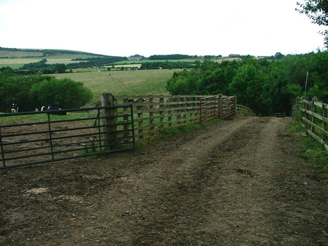
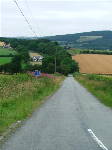
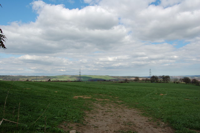
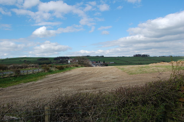
Clickemin Hill is a prominent hill located in Durham, England. It sits at an elevation of 225 meters (738 feet) above sea level and offers stunning views of the surrounding countryside. The hill is popular with hikers and nature enthusiasts due to its well-maintained trails and diverse flora and fauna.

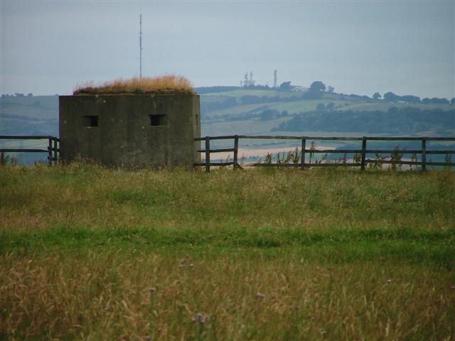
The name "Clickemin" is thought to originate from the Old English words "clycc" meaning hill and "dun" meaning fort, suggesting that the hill may have been used as a defensive position in ancient times. Archaeological evidence supports this theory, with the remains of an Iron Age hill fort found on the summit of Clickemin Hill.

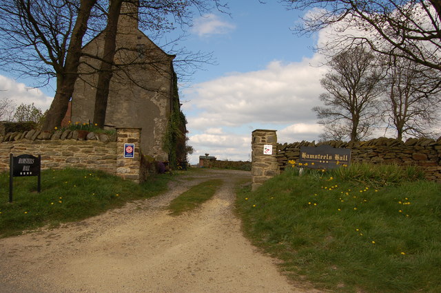
Today, visitors to Clickemin Hill can explore the ancient ruins and enjoy a leisurely walk through the picturesque landscape. The hill is also home to a variety of wildlife, including birds of prey and rare plants. In addition to its natural beauty, Clickemin Hill holds historical significance as a site of cultural heritage in Durham.

Overall, Clickemin Hill is a must-visit destination for those seeking outdoor adventure and a glimpse into the region's rich history.

If you have any feedback on the listing, please let us know in the comments section below.

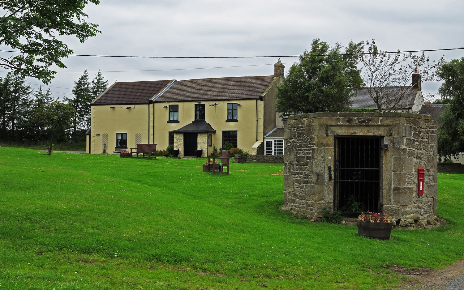
Clickemin Hill Images

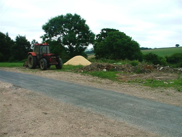
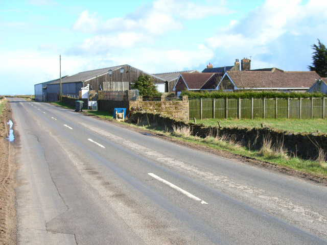
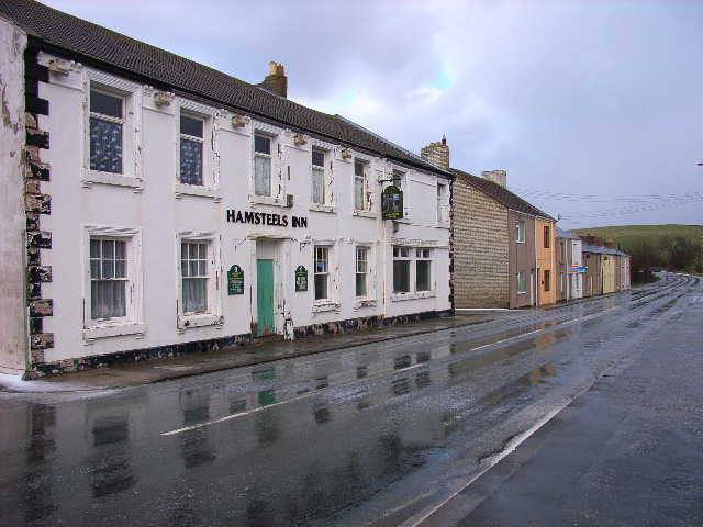
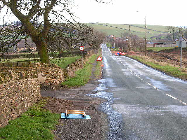
Images are sourced within 2km of 54.792196/-1.7441387 or Grid Reference NZ1644. Thanks to Geograph Open Source API. All images are credited.

WW2 Pill box, West Hamsteels Surveying the Lanchester Valley. Unmapped and almost on the grid line; a close call.
WW2 Pill box, West Hamsteels
Surveying the Lanchester Valley. Unmapped and almost on the grid line; a close call.
Lanchester Nurseries The Roman road 'Dere Street' passes through the field of cows and underneath the left hand most polytunnels.
Lanchester Nurseries
The Roman road 'Dere Street' passes through the field of cows and underneath the left hand most polytunnels.
Public Footpath Heading North From Malton House Farm Descending into Hamsteels Beck
Public Footpath Heading North From Malton House Farm
Descending into Hamsteels Beck
No Through Road to Biggen Farm Dropping down to Blackburn Beck
No Through Road to Biggen Farm
Dropping down to Blackburn Beck
Square House
Square House
Unclassified Road at Hamsteels Hall Farm
Valley of the River Browney Viewed from the road between Cornsay village and Wilks Hill. Lanchester in the distance, and the transmitter mast at Burnhope on the skyline
Valley of the River Browney
Viewed from the road between Cornsay village and Wilks Hill. Lanchester in the distance, and the transmitter mast at Burnhope on the skyline
Click-em-Inn Farm, near Wilk's Hill The bungalow in the foreground runs a gun dog breeding business
Click-em-Inn Farm, near Wilk's Hill
The bungalow in the foreground runs a gun dog breeding business
Valley of the Hedleyhope Burn Looking south-west from Wilk's Hill
Valley of the Hedleyhope Burn
Looking south-west from Wilk's Hill
Quebec The one in County Durham, not the one in Canada! Taken shortly after a vicious hailstorm.
Quebec
The one in County Durham, not the one in Canada! Taken shortly after a vicious hailstorm.
Wilk's Hill Looking east along the road down to Quebec
Wilk's Hill
Looking east along the road down to Quebec
Farmland near Hamsteels Hall
Hamsteels Hall near Lanchester
Pillbox above Lanchester
South Terrace Cornsay Colliery
Entrance to Rowley Farm near Cornsay Colliery
Cattle Grid Rowley Farm
Field Rowley Farm near Cornsay Colliery
Show me another place!

Clickemin Hill is located at Grid Ref: NZ1644 (Lat: 54.792196, Lng: -1.7441387)

Unitary Authority: County Durham

Police Authority: Durham

What 3 Words

///spelled.daydreams.passing. Near Lanchester, Co. Durham

Nearby Locations

Clickemin Hill

Related Wikis

Cornsay Colliery

Cornsay Colliery is a village in County Durham, England. It is situated a few miles to the west of Durham, close to Cornsay, Quebec and Esh Winning. Regarding...

Cornsay

Cornsay is a hamlet and civil parish in County Durham, England. The population of the Civil Parish taken at the 2011 census was 1,128. It is 6 miles (9...

Quebec, County Durham

Quebec is a small village in County Durham, in North East England. Once a coal mining village, it is situated 6 miles (10 km) west of the city of Durham...

Esh, County Durham

Esh is a village and civil parish situated around five miles north-west of Durham in County Durham, England. The central area of the village contains...

Nearby Amenities

Located within 500m of 54.792196,-1.7441387
Man Made: tower
Note: Looks like a mast for various mobile companies?
Tower Type: communication
Lat/Long: 54.7936526/-1.7496725
Bus Stop
Click-em-inn Farm
Naptan AtcoCode: 13001214D
Naptan Bearing: SE
Naptan CommonName: Click-em-inn Farm
Naptan Indicator: south east bound
Naptan Landmark: Landmark not known
Naptan NaptanCode: duradgjd
Naptan Notes: opp entrance to Click-Em-Inn Farm- Ragpath Lane- nr Cornsay
Naptan Street: Unclassified Road
Naptan Verified: no
Source: naptan_import
Lat/Long: 54.7922203/-1.7451581
Bus Stop
Click-em-inn Farm
Naptan AtcoCode: 13001214H
Naptan Bearing: NW
Naptan CommonName: Click-em-inn Farm
Naptan Indicator: north west bound
Naptan Landmark: Landmark not known
Naptan NaptanCode: duradgjg
Naptan Notes: entrance to Click-Em-Inn Farm- Ragpath Lane- nr Cornsay
Naptan Street: Unclassified Road
Naptan Verified: no
Source: naptan_import
Lat/Long: 54.7921395/-1.7452052
Access: yes
Barrier: cattle_grid
Lat/Long: 54.7879112/-1.7462281
Click-em-inn Farm
Place: farm
Source Name: OS_OpenData_StreetView
Lat/Long: 54.7920181/-1.7460832
Barrier: entrance
Lat/Long: 54.794355/-1.7444561
The data included in this document is from www.openstreetmap.org. The data is made available under ODbL.

Have you been to Clickemin Hill?

Leave your review of Clickemin Hill below (or comments, questions and feedback).