Kirklees Cut
Lake, Pool, Pond, Freshwater Marsh in Yorkshire
England
Kirklees Cut
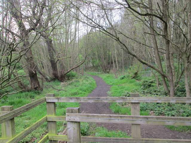
Kirklees Cut is a picturesque freshwater marsh located in Yorkshire, England. Situated amidst the rolling hills and lush greenery of the region, this natural marvel offers a diverse aquatic ecosystem that comprises a lake, pool, pond, and freshwater marsh.
The centerpiece of Kirklees Cut is its expansive lake, which stretches over a considerable area, sparkling under the sun's rays. The lake is home to a myriad of aquatic plants and provides a vital habitat for numerous species of fish, amphibians, and waterfowl. The calm and serene waters of the lake are ideal for recreational activities such as fishing and boating.
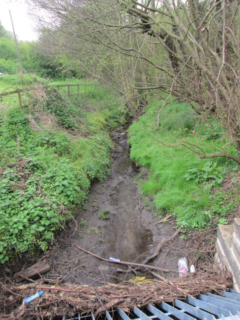
Adjacent to the lake is a smaller pool, which serves as a breeding ground for various water creatures. This pool is often teeming with tadpoles, newts, and other aquatic larvae during the breeding season, attracting nature enthusiasts and researchers alike.
In addition to the lake and pool, Kirklees Cut also boasts a tranquil pond. This smaller body of water is surrounded by reeds and rushes, creating a haven for dragonflies, water beetles, and other invertebrates. The pond is an excellent spot for birdwatching, with a variety of water birds frequenting its shores throughout the year.
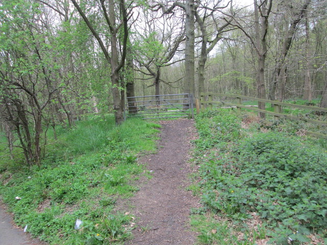
Surrounding the lake, pool, and pond is a thriving freshwater marsh. This marshland is characterized by its waterlogged soil and an abundance of marsh plants such as sedges and rushes. The marsh provides a vital habitat for marsh birds, amphibians, and small mammals, contributing to the overall biodiversity of the area.
Overall, Kirklees Cut is a remarkable natural feature, offering a diverse range of aquatic environments within its boundaries. It serves as a valuable ecosystem and a haven for various plant and animal species, making it an attractive destination for nature lovers and a site of scientific interest.
If you have any feedback on the listing, please let us know in the comments section below.
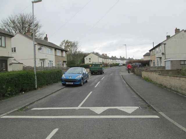
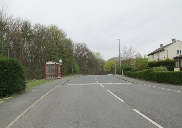
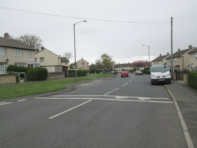
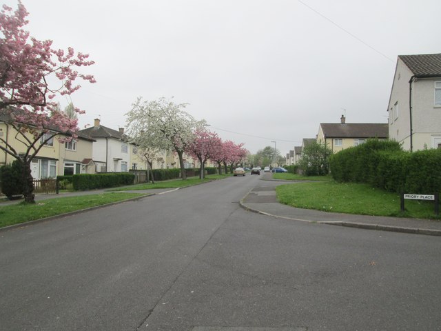
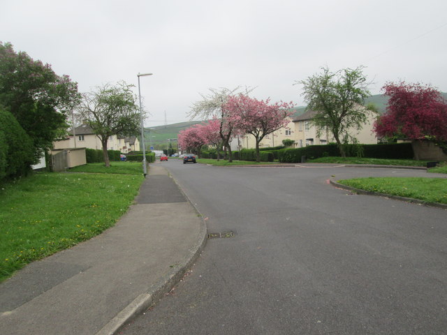
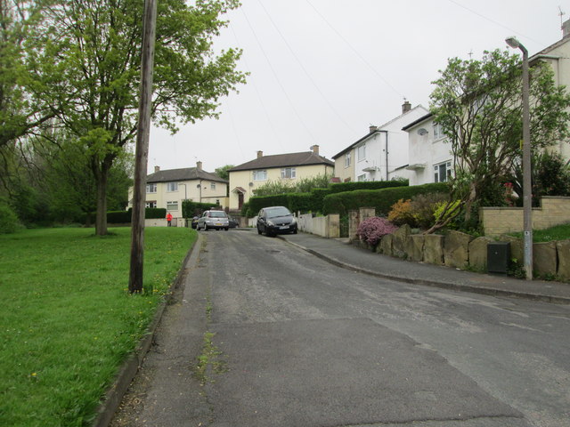
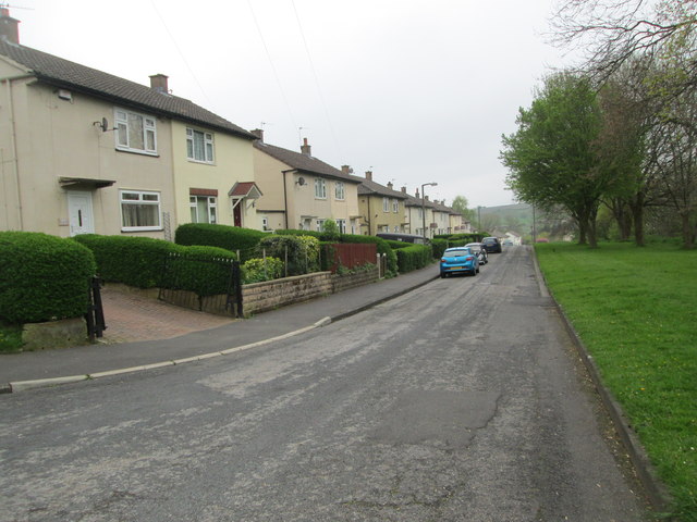
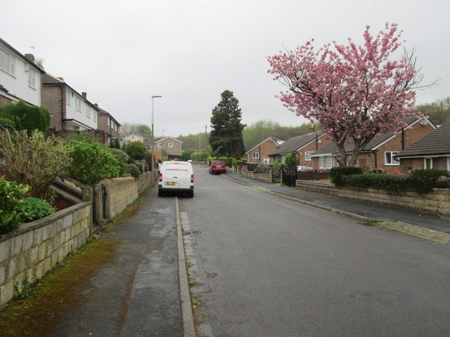
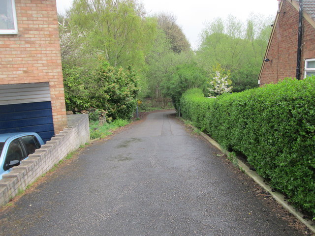
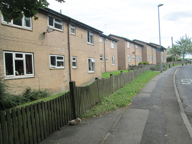
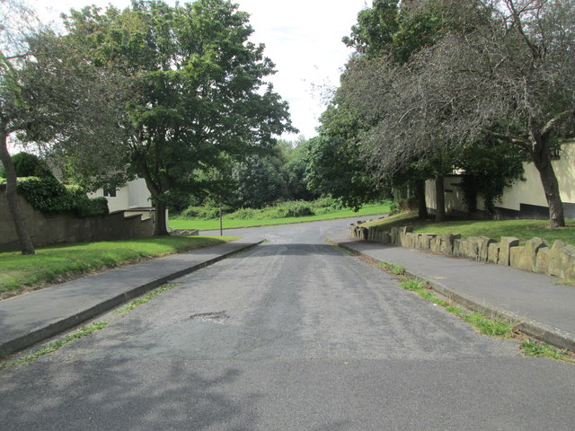
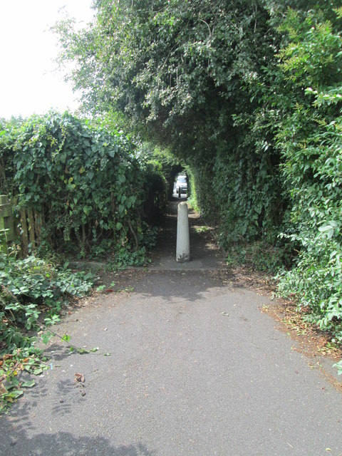
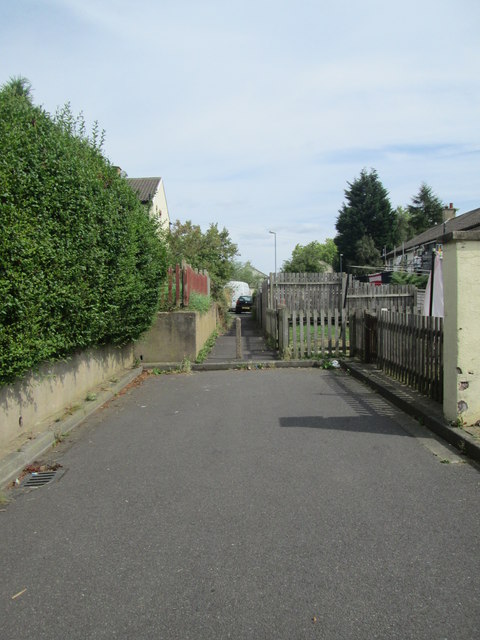
Kirklees Cut Images
Images are sourced within 2km of 53.692263/-1.7513782 or Grid Reference SE1621. Thanks to Geograph Open Source API. All images are credited.
Kirklees Cut is located at Grid Ref: SE1621 (Lat: 53.692263, Lng: -1.7513782)
Division: West Riding
Unitary Authority: Kirklees
Police Authority: West Yorkshire
What 3 Words
///layers.cable.bowls. Near Brighouse, West Yorkshire
Nearby Locations
Related Wikis
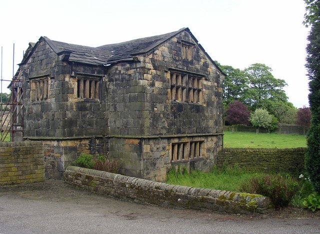
Kirklees Hall
Kirklees Hall is a 16th-century Grade I listed Jacobean hall, close to the English village of Clifton in Calderdale, West Yorkshire. The first evidence...
Kirklees Priory
Kirklees Priory was a Cistercian nunnery whose site is in the present-day Kirklees Park, Clifton near Brighouse, Calderdale, West Yorkshire, England. It...

Robin Hood's Grave
Robin Hood's Grave is the name given to a monument in Kirklees Park Estate, West Yorkshire, England, near the now-ruined Kirklees Priory. It is alleged...

Clifton, West Yorkshire
Clifton is a village on the eastern outskirts of Brighouse in the Calderdale district of West Yorkshire, England. == History == Clifton is mentioned as...

Blakeborough's Bridge
Blakeborough's Bridge crosses the River Calder in Brighouse, West Yorkshire, England. It was built in 1962 to link J. Blakeborough and Sons works and offices...
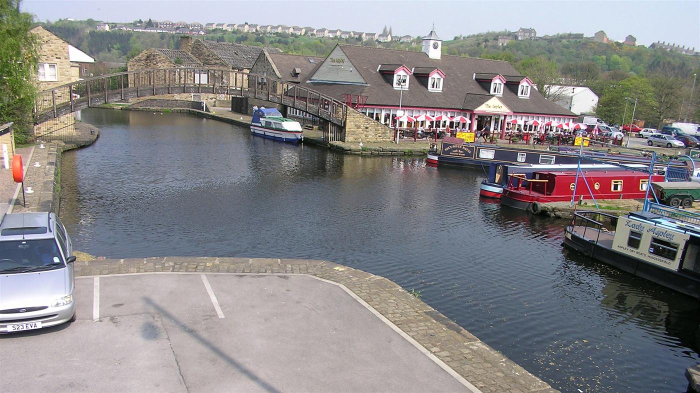
Huddersfield Broad Canal
The Huddersfield Broad Canal or Sir John Ramsden's Canal, is a wide-locked navigable canal in West Yorkshire in northern England. The waterway is 3.75...

Cooper Bridge railway station
Cooper Bridge was a railway station built by the Manchester and Leeds Railway to serve the town of Huddersfield in West Yorkshire, England. == History... ==

Bradley, Huddersfield
Bradley is a district of Huddersfield, West Yorkshire, England, 3 miles north-east of the town centre. It is generally just off the A62 Leeds Road and...
Related Videos

WETHERSPOONS FULL ENGLISH BREAKFAST - Is it all hype ??? - Food Review - WETHERSPOONS WEEK - Day 3
WETHERSPOONS FULL ENGLISH BREAKFAST - Is it all hype ??? - Food Review - WETHERSPOONS WEEK - Day 3 ...
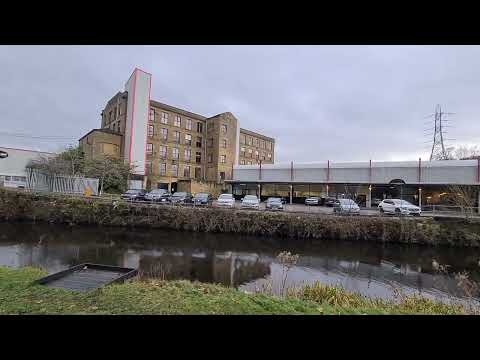
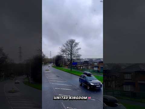
WALKING TO BRIGHOUSE
Hello Jamie here and with another video. Snippets of walking towards Brighouse, but didn't film snippets in Brighouse though as it ...

WETHERSPOONS CURRY CLUB - Chicken Tikka Masala with Basmati Rice, Naan Bread WETHERSPOONS WEEK DAY 4
WETHERSPOONS CURRY CLUB - Chicken Tikka Masala with Basmati Rice, Naan Bread WETHERSPOONS WEEK DAY 4 ...
Nearby Amenities
Located within 500m of 53.692263,-1.7513782Have you been to Kirklees Cut?
Leave your review of Kirklees Cut below (or comments, questions and feedback).