Bradley Island Woodland
Wood, Forest in Yorkshire
England
Bradley Island Woodland
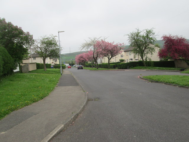
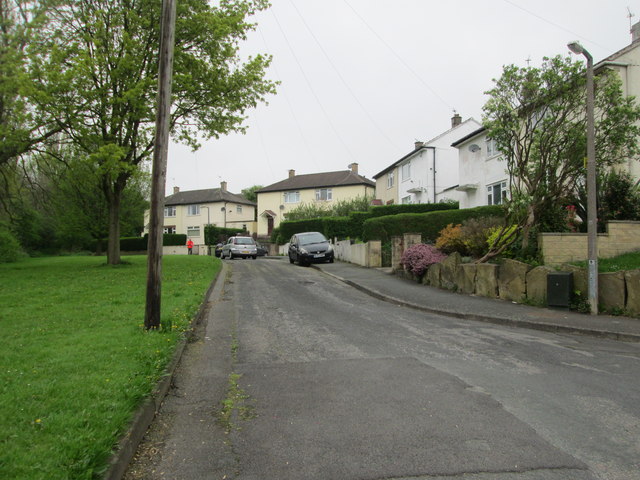
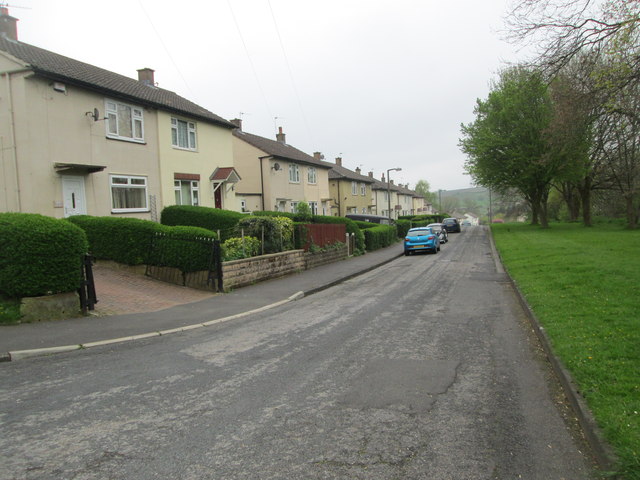
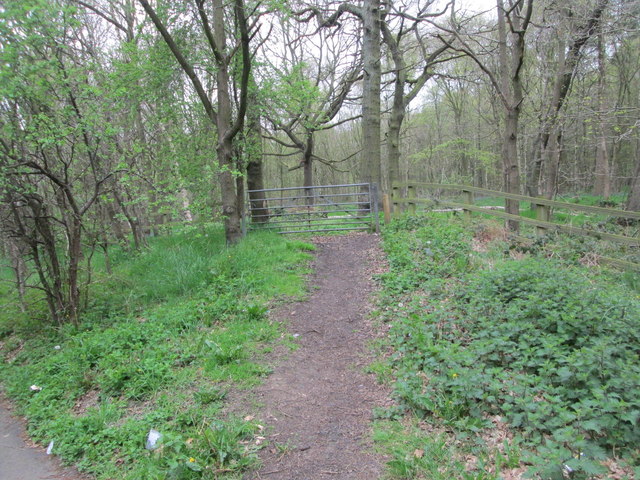
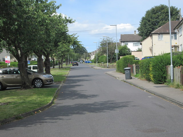
Bradley Island Woodland, located in Yorkshire, England, is a stunning natural gem that offers visitors a tranquil escape into nature. Spanning over several acres, this woodland is a mix of wood and forest, boasting an abundance of native trees, plants, and wildlife.
The woodland is characterized by its dense canopy of oak, beech, and chestnut trees, providing a picturesque setting for leisurely walks and exploration. The forest floor is covered in a lush carpet of ferns, bluebells, and wildflowers, creating a vibrant and colorful atmosphere during the spring and summer months.
Walking trails wind through the woodland, allowing visitors to immerse themselves in its beauty while discovering hidden nooks and crannies along the way. Nature enthusiasts will be delighted to spot a variety of bird species, including woodpeckers, owls, and songbirds, filling the air with their melodic calls. Squirrels, rabbits, and occasionally deer can also be spotted as they roam freely in their natural habitat.
The woodland is well-maintained, with designated picnic areas and benches strategically placed for visitors to rest and enjoy a peaceful moment surrounded by nature. Interpretive signs provide information about the local flora and fauna, enhancing the educational value of the woodland.
Bradley Island Woodland is a popular destination for families, hikers, and nature lovers seeking solace and serenity away from the hustle and bustle of city life. Its natural beauty and diverse ecosystem make it a must-visit location for anyone looking to reconnect with nature in Yorkshire.
If you have any feedback on the listing, please let us know in the comments section below.
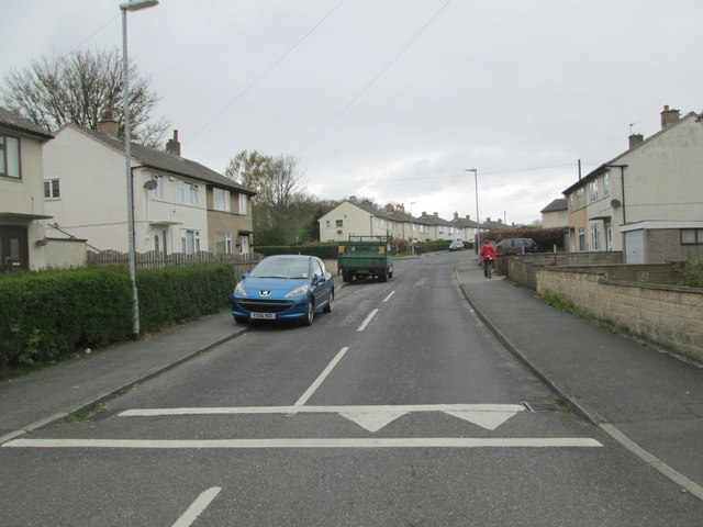
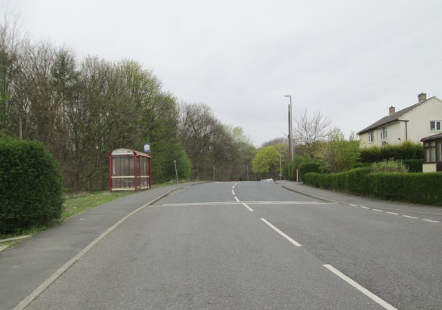
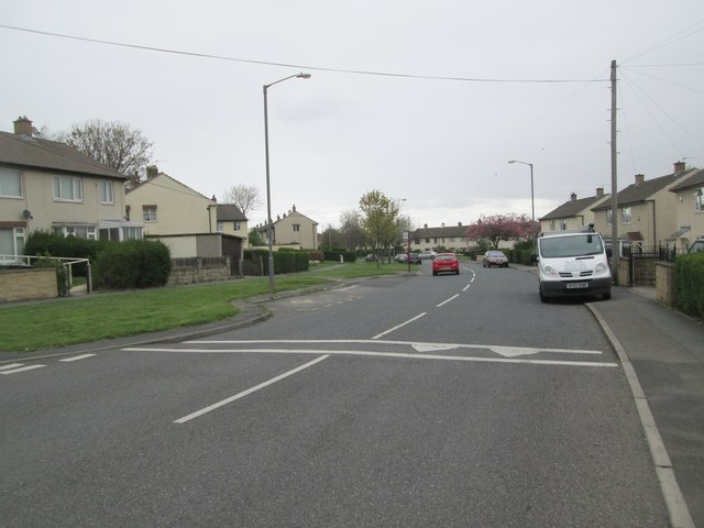
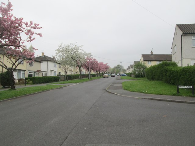
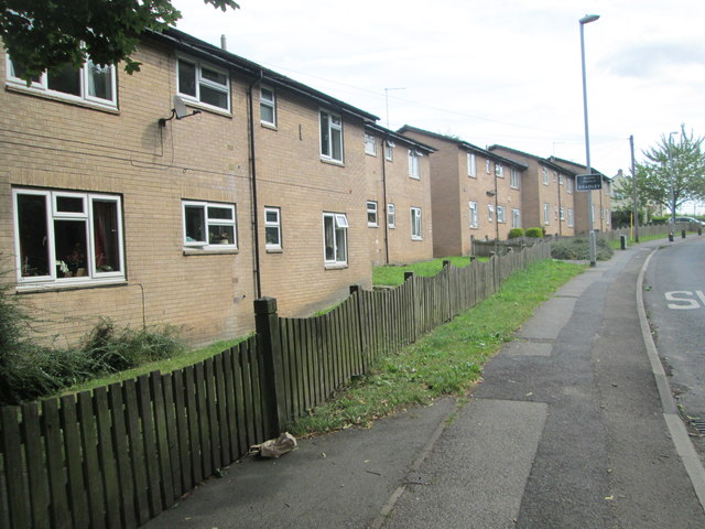
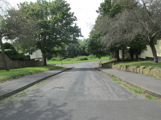
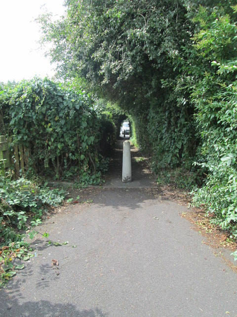
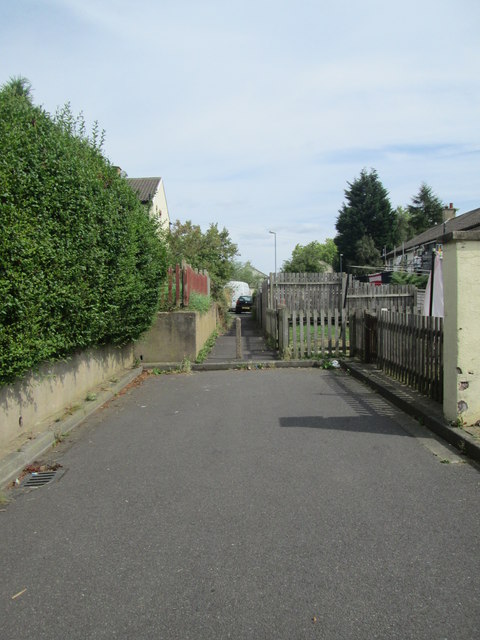
Bradley Island Woodland Images
Images are sourced within 2km of 53.693145/-1.7478898 or Grid Reference SE1621. Thanks to Geograph Open Source API. All images are credited.


Bradley Island Woodland is located at Grid Ref: SE1621 (Lat: 53.693145, Lng: -1.7478898)
Division: West Riding
Unitary Authority: Kirklees
Police Authority: West Yorkshire
What 3 Words
///puppy.pays.star. Near Brighouse, West Yorkshire
Nearby Locations
Related Wikis
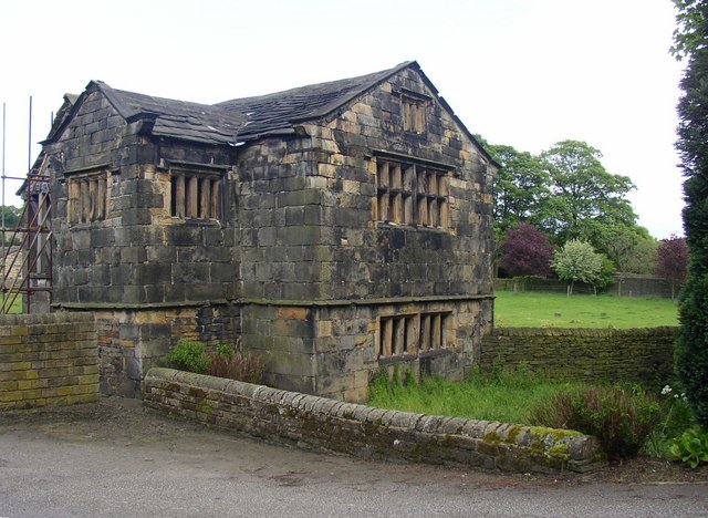
Kirklees Hall
Kirklees Hall is a 16th-century Grade I listed Jacobean hall, close to the English village of Clifton in Calderdale, West Yorkshire. The first evidence...
Kirklees Priory
Kirklees Priory was a Cistercian nunnery whose site is in the present-day Kirklees Park, Clifton near Brighouse, Calderdale, West Yorkshire, England. It...

Robin Hood's Grave
Robin Hood's Grave is the name given to a monument in Kirklees Park Estate, West Yorkshire, England, near the now-ruined Kirklees Priory. It is alleged...
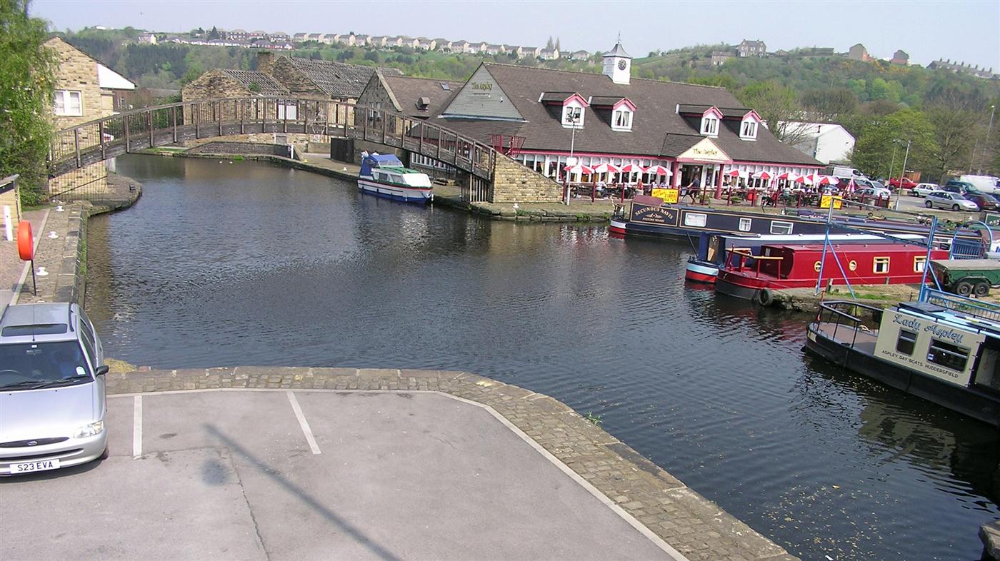
Huddersfield Broad Canal
The Huddersfield Broad Canal or Sir John Ramsden's Canal, is a wide-locked navigable canal in West Yorkshire in northern England. The waterway is 3.75...

Clifton, West Yorkshire
Clifton is a village on the eastern outskirts of Brighouse in the Calderdale district of West Yorkshire, England. == History == Clifton is mentioned as...

Cooper Bridge railway station
Cooper Bridge was a railway station built by the Manchester and Leeds Railway to serve the town of Huddersfield in West Yorkshire, England. == History... ==

Blakeborough's Bridge
Blakeborough's Bridge crosses the River Calder in Brighouse, West Yorkshire, England. It was built in 1962 to link J. Blakeborough and Sons works and offices...

Bradley, Huddersfield
Bradley is a district of Huddersfield, West Yorkshire, England, 3 miles north-east of the town centre. It is generally just off the A62 Leeds Road and...
Nearby Amenities
Located within 500m of 53.693145,-1.7478898Have you been to Bradley Island Woodland?
Leave your review of Bradley Island Woodland below (or comments, questions and feedback).