Baker's Hill
Hill, Mountain in Gloucestershire Cotswold
England
Baker's Hill
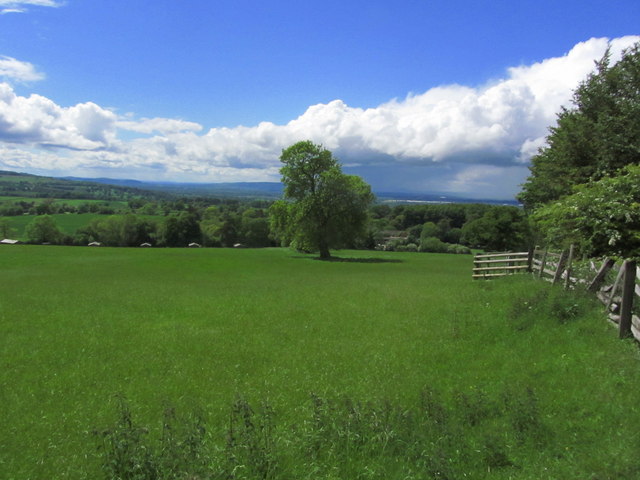
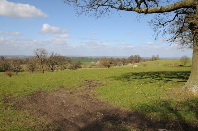
Baker's Hill is a picturesque hill located in the county of Gloucestershire, England. It is situated in the scenic countryside, offering stunning views of the surrounding landscape. With an elevation of approximately 300 meters, it is often referred to as Baker's Mountain by locals.
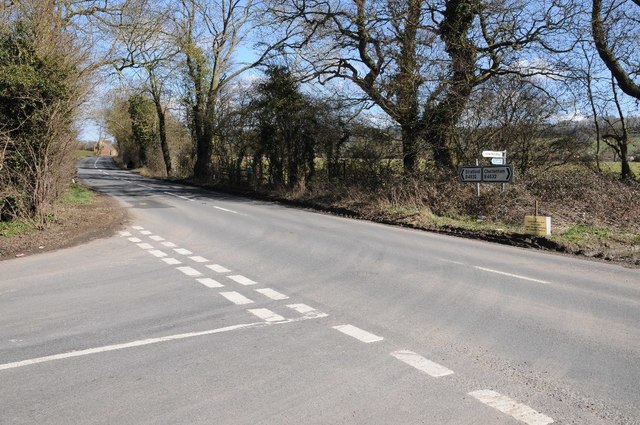
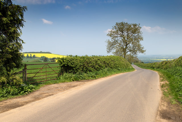
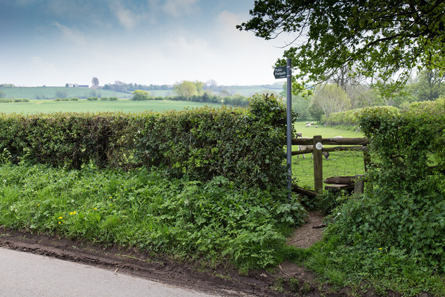
The hill is known for its tranquil ambiance and is a popular destination for outdoor enthusiasts. It is a haven for hikers and nature lovers, who can explore the well-maintained trails that crisscross the hill. These trails offer a variety of walking and hiking options, catering to different fitness levels and preferences.
Baker's Hill is abundant in diverse flora and fauna, showcasing the region's natural beauty. The hill is covered in lush greenery, including ancient woodlands and wildflower meadows, providing a habitat for a wide range of plant and animal species. Visitors can spot various bird species, such as woodpeckers and owls, as well as deer and other woodland creatures.
The hill also holds historical significance, with remnants of ancient settlements and burial mounds found in the vicinity. Archaeological excavations have revealed artifacts and structures that date back centuries, shedding light on the area's rich heritage.
Baker's Hill offers a peaceful retreat away from the hustle and bustle of city life. Its idyllic setting, combined with its natural and historical attractions, make it a must-visit destination for those seeking a tranquil escape in the heart of Gloucestershire.
If you have any feedback on the listing, please let us know in the comments section below.
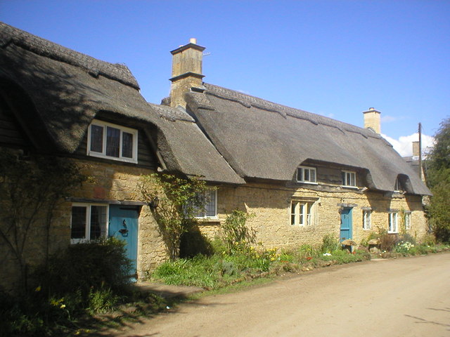
Baker's Hill Images
Images are sourced within 2km of 52.080775/-1.7597052 or Grid Reference SP1642. Thanks to Geograph Open Source API. All images are credited.


Baker's Hill is located at Grid Ref: SP1642 (Lat: 52.080775, Lng: -1.7597052)
Administrative County: Gloucestershire
District: Cotswold
Police Authority: Gloucestershire
What 3 Words
///tingled.friend.collision. Near Mickleton, Gloucestershire
Nearby Locations
Related Wikis
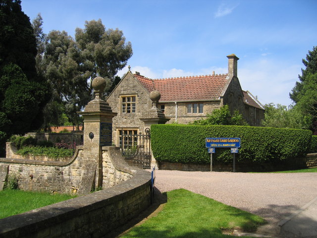
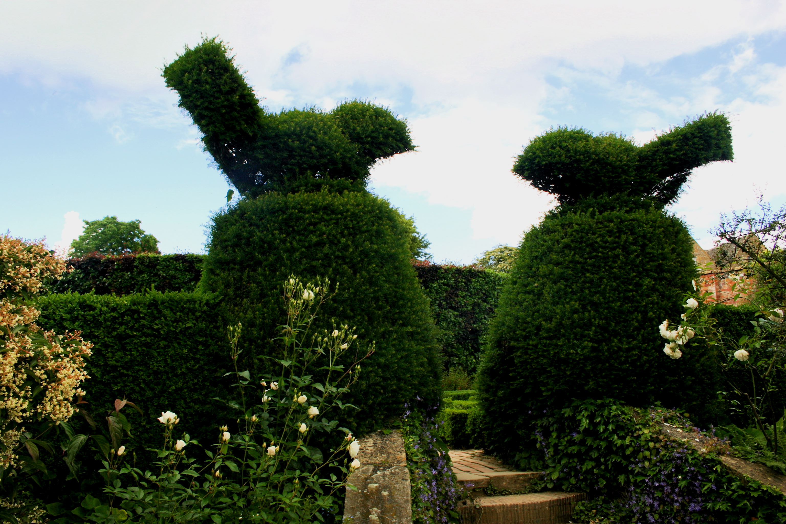
Kiftsgate Court Gardens
Kiftsgate Court Gardens is situated above the village of Mickleton in the county of Gloucestershire, England, in the far north of the county close to the...
Hidcote Manor Garden
Hidcote Manor Garden is a garden in the United Kingdom, located at the village of Hidcote Bartrim, near Chipping Campden, Gloucestershire. It is one of...
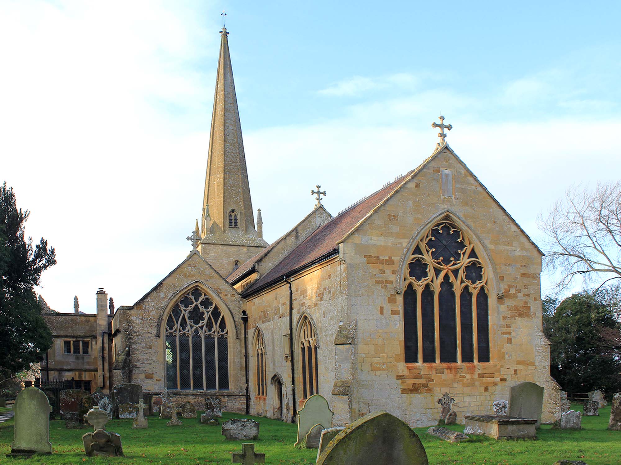
Church of St Lawrence, Mickleton
The Anglican Church of St Lawrence at Mickleton in the Cotswold District of Gloucestershire, England was built in the 12th century. It is a grade I listed...

Three Ways House Hotel
Three Ways House Hotel is a hotel in Mickleton, Gloucestershire, England. Built in 1871 as a house for a doctor, the now hotel features a weekly dining...

Mickleton, Gloucestershire
Mickleton is a village and civil parish in the Cotswold District of Gloucestershire, England. The village is the northernmost settlement in Gloucestershire...

Mickleton Halt railway station
Mickleton Halt was a railway station on the Great Western Railway line between Oxford and Worcester Shrub Hill to serve Mickleton and the surrounding villages...
Hidcote Bartrim
Hidcote Bartrim is a hamlet and former civil parish, now in the parish of Ebrington, in the Cotswold district of Gloucestershire, England. The nearest...

Campden Tunnel Gravel Pit
Campden Tunnel Gravel Pit (grid reference SP161408) is a 0.2-hectare (0.49-acre) geological Site of Special Scientific Interest in Gloucestershire, notified...
Nearby Amenities
Located within 500m of 52.080775,-1.7597052Have you been to Baker's Hill?
Leave your review of Baker's Hill below (or comments, questions and feedback).