Winter Hill

Hill, Mountain in Northumberland

England

Winter Hill

Foot Bridge and Ford on Batt House Road
Foot Bridge and Ford on Batt House Road Credit: Clive Nicholson

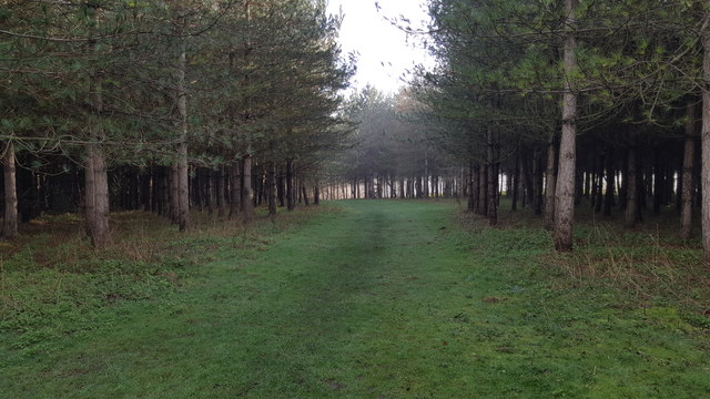
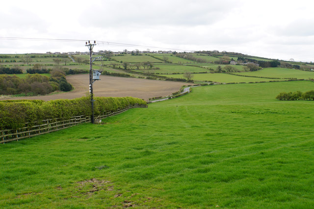
Winter Hill is a prominent hill located in Northumberland, a county in the northeast of England. With an elevation of 317 meters (1,040 feet), it is classified as a hill rather than a mountain. Winter Hill is situated within the Northumberland National Park, renowned for its stunning landscapes and rich biodiversity.

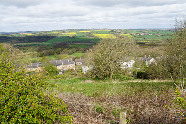
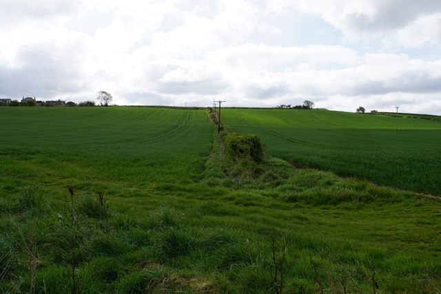
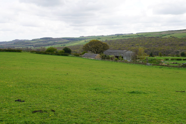
The hill is composed mainly of sedimentary rocks, including sandstone and limestone, which were formed millions of years ago. Its distinctive shape and steep slopes make it a prominent feature in the surrounding landscape. Winter Hill offers breathtaking panoramic views of the surrounding countryside, including the Cheviot Hills to the north and the North Pennines to the south.

The hill is covered with a mix of grasses, heather, and shrubs, providing a habitat for a diverse range of flora and fauna. It is home to several species of birds, such as curlews, lapwings, and red grouse, which thrive in the open moorland environment.

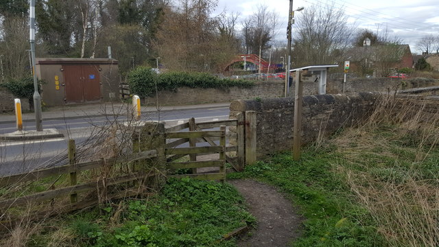
Winter Hill is a popular destination for outdoor enthusiasts, offering opportunities for hiking, walking, and nature exploration. The area boasts a network of well-maintained footpaths, allowing visitors to explore the hill at their own pace. Additionally, the hill is a great spot for birdwatching, as well as star-gazing due to its remote location away from light pollution.

Overall, Winter Hill is a picturesque and ecologically significant hill in Northumberland, attracting nature lovers and adventurers alike with its stunning vistas and diverse wildlife.

If you have any feedback on the listing, please let us know in the comments section below.
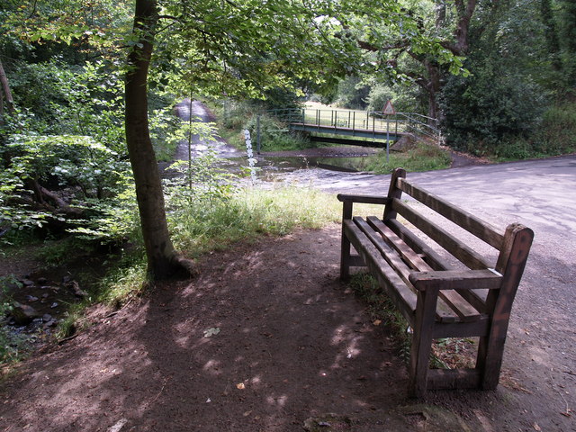
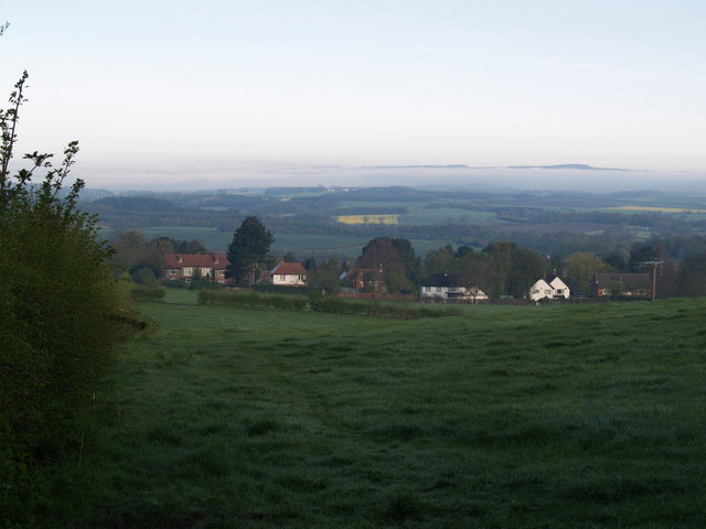
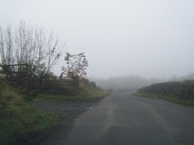
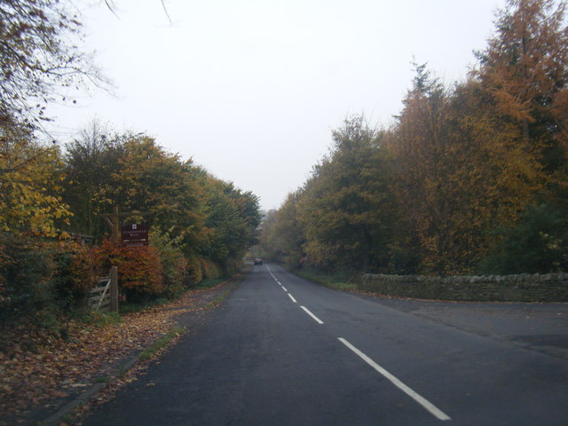
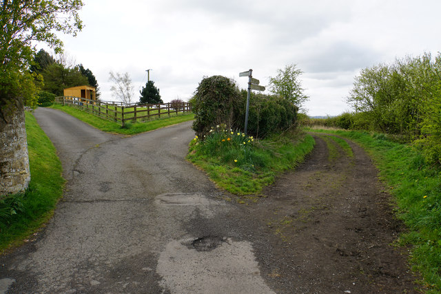
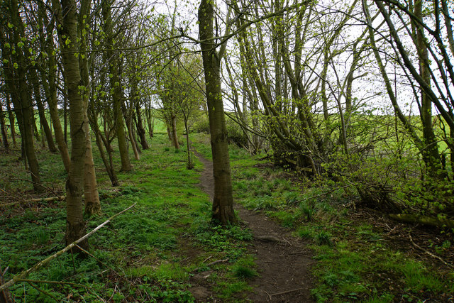
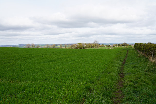
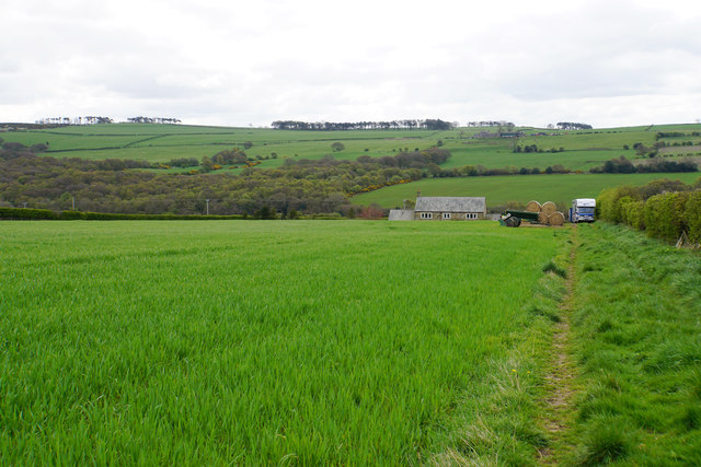
Winter Hill Images

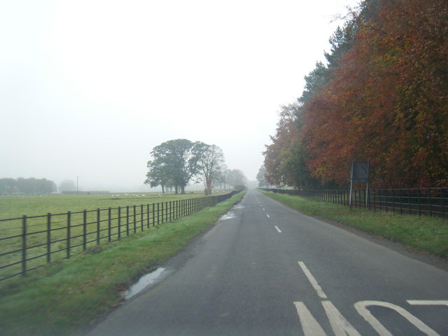
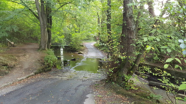
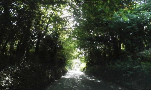
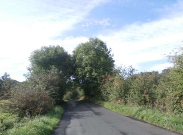
Images are sourced within 2km of 54.948392/-1.9006447 or Grid Reference NZ0661. Thanks to Geograph Open Source API. All images are credited.

Foot Bridge and Ford on Batt House Road
East Ridley, Stocksfield Houses at East Ridley
East Ridley, Stocksfield
Houses at East Ridley
B6309 north of Old Ridley
B6309 near Stocksfield Hall
National Cycle Route 72 near Bywell Castle
Ford and footbridge on Batt House Road
The B6309 near Stocksfield
The B6309 near Guessburn
Footpath in woods near Guessburn
Kissing Gate on footpath where it meets A695 near Stocksfield Station
Hillside above West Mickley Looking down from Mount Pleasant, with the Tyne valley ahead.
Hillside above West Mickley
Looking down from Mount Pleasant, with the Tyne valley ahead.
Fields by High Mickley Part of the hillside which climbs to Mickley Moor on the southern side of the Tyne valley. Some houses of High Mickley can be seen high to the left. The new crops are growing well.
Fields by High Mickley
Part of the hillside which climbs to Mickley Moor on the southern side of the Tyne valley. Some houses of High Mickley can be seen high to the left. The new crops are growing well.
A choice of routes Several tracks and paths leaving High Mickley.
A choice of routes
Several tracks and paths leaving High Mickley.
Footpath near High Mickley The path runs parallel to Ward Lane which is to the right, and is currently much more pleasant walking.
Footpath near High Mickley
The path runs parallel to Ward Lane which is to the right, and is currently much more pleasant walking.
Bridleway on Broom Hill Heading towards High Mickley which can be seen ahead. The Tyne valley opens out beyond.
Bridleway on Broom Hill
Heading towards High Mickley which can be seen ahead. The Tyne valley opens out beyond.
Bridleway approaching Mickley Moor West Farm
Road to Hedley on the Hill The village lives up to its name, standing on the brow of the hill to the left.
Road to Hedley on the Hill
The village lives up to its name, standing on the brow of the hill to the left.
Barns on Mickley Moor
Show me another place!

Winter Hill is located at Grid Ref: NZ0661 (Lat: 54.948392, Lng: -1.9006447)

Unitary Authority: Northumberland

Police Authority: Northumbria

What 3 Words

///maddening.unfounded.arranged. Near Stocksfield, Northumberland

Related Wikis

Branch End

Branch End is part of the village of Stocksfield in Northumberland, England. It is situated at the junction of the A695 Main Road with New Ridley Road...

West Mickley

West Mickley is a hamlet east of Stocksfield, in the southern part of Northumberland, England. Along with the neighbouring settlements of High Mickley...
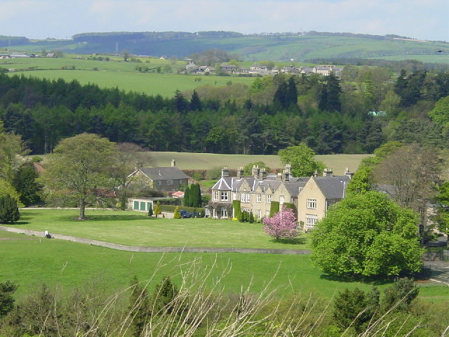
Stocksfield

Stocksfield is a small commuter village situated close to the River Tyne, about 14 miles (23 km) west of Newcastle upon Tyne in the southern part of Northumberland...

Stocksfield Parish

Stocksfield, formerly Broomley and Stocksfield is a civil parish in Northumberland, England. At the 2001 census, the parish, which includes the village...

Nearby Amenities

Located within 500m of 54.948392,-1.9006447
Post Office
Branch End Post Office
Addr City: Stocksfield
Addr Postcode: NE43 7DW
Addr Street: Main Road
Opening Hours: Mo-Sa 06:00-22:00; Su 07:00-22:00
Ref Pol Id: 145749
Lat/Long: 54.9469503/-1.897123
Pharmacy
Boots
Addr City: Stocksfield
Addr County: Northumberland
Addr Housenumber: 1
Addr Postcode: NE43 7LA
Addr Street: Alexandra Terrace
Brand Wikidata: Q6123139
Dispensing: yes
Fhrs Id: 287436
Lat/Long: 54.9468846/-1.8982829
Fuel
Esso
Brand: Esso
Brand Wikidata: Q867662
Brand Wikipedia: en:Esso
Contact Website: https://www.esso.co.uk/en-gb/find-station/esso-stocksfield-essobranchend-100200326
Fuel Diesel: yes
Fuel Gasoline: yes
Fuel Octane 95: yes
Fuel Octane 98: yes
Lat/Long: 54.9471008/-1.8971885
Recycling
Glass recycling containers
Recycling Type: container
Lat/Long: 54.948686/-1.9083894
New Ridley Road Garage
Addr City: Stocksfield
Addr Postcode: NE43 7LD
Addr Street: New Ridley Road
Phone: +44 1661 844303
Shop: car_repair
Lat/Long: 54.9457976/-1.898448
Bus Stop
Bench: yes
Bus: yes
Departures Board: timetable
Naptan AtcoCode: 3100Z062611
Naptan NaptanCode: nldgataw
Passenger Information Display: no
Public Transport: platform
Shelter: yes
Lat/Long: 54.9453178/-1.903597
Bus Stop
Branch End, Surgery
Bench: yes
Bin: yes
Bus: yes
Covered: yes
Departures Board: timetable
Public Transport: platform
Shelter: yes
Tactile Paving: no
Lat/Long: 54.9469767/-1.8979421
Bus Stop
Bench: yes
Bin: yes
Bus: yes
Covered: no
Departures Board: timetable
Naptan AtcoCode: 3100Z062612
Naptan NaptanCode: nldagtag
Public Transport: platform
Shelter: yes
Lat/Long: 54.9460929/-1.9042365
Bus Stop
Bench: no
Bin: yes
Bus: yes
Departures Board: timetable
Passenger Information Display: no
Public Transport: platform
Shelter: yes
Tactile Paving: no
Lat/Long: 54.9464852/-1.8985547
Place Of Worship
Friends Meeting House
Addr City: Stocksfield
Denomination: quaker
Religion: christian
Lat/Long: 54.9465974/-1.8981208
New Ridley Rd Garage
Addr City: Stocksfield
Addr Postcode: NE43 7LD
Addr Street: New Ridley Road
Phone: +44 1661 844303
Shop: car
Lat/Long: 54.9457823/-1.8986008
All Weather Sports Pitch
Leisure: sports_centre
Lat/Long: 54.9489465/-1.908305
Branch End News
Addr City: Stocksfield
Addr County: Northumberland
Addr Housenumber: 13
Addr Postcode: NE43 7LA
Addr Street: Alexandra Terrace
Fhrs Id: 287463
Shop: convenience
Lat/Long: 54.9464993/-1.8990636
Blue Bell Garage
Phone: +44 1661 842 586
Shop: car_repair
Lat/Long: 54.9484892/-1.8942419
Noexit: yes
Lat/Long: 54.945878/-1.9060183
Noexit: yes
Lat/Long: 54.9461953/-1.9055436
C K Hair Design
Addr City: Stocksfield
Addr Postcode: NE43 7JR
Phone: +44 1661 843745
Shop: hairdresser
Lat/Long: 54.9450683/-1.9019716
Telephone
Lat/Long: 54.9461369/-1.9043079
Post Box
Operator: Royal Mail
Operator Wikidata: Q638098
Post Box Type: lamp
Ref: NE43 234
Royal Cypher: EIIR
Royal Cypher Wikidata: Q33102113
Lat/Long: 54.9460797/-1.904186
Waste Basket
Lat/Long: 54.9469949/-1.8979037
Post Box
Operator: Royal Mail
Operator Wikidata: Q638098
Post Box Type: pillar
Ref: NE43 305
Royal Cypher: EIIR
Royal Cypher Wikidata: Q33102113
Lat/Long: 54.9467755/-1.8982734
Daniel Benson Hair
Addr City: Stocksfield
Phone: +44 1661 842425
Shop: hairdresser
Lat/Long: 54.9468151/-1.8984377
Waste Basket
Lat/Long: 54.9468205/-1.8981481
Crossing
Button Operated: yes
Crossing: traffic_signals
Tactile Paving: yes
Lat/Long: 54.9465448/-1.8985854
Generator Method: photovoltaic
Generator Output Electricity: yes
Generator Source: solar
Generator Type: solar_photovoltaic_panel
Location: roof
Power: generator
Lat/Long: 54.9441557/-1.9000023
Generator Method: photovoltaic
Generator Output Electricity: yes
Generator Source: solar
Generator Type: solar_photovoltaic_panel
Location: roof
Power: generator
Lat/Long: 54.9464989/-1.8990099
Generator Method: photovoltaic
Generator Output Electricity: yes
Generator Source: solar
Generator Type: solar_photovoltaic_panel
Location: roof
Power: generator
Lat/Long: 54.9459505/-1.9001659
Dryer
Lat/Long: 54.9470796/-1.8968688
Generator Method: photovoltaic
Generator Output Electricity: yes
Generator Source: solar
Generator Type: solar_photovoltaic_panel
Location: roof
Power: generator
Lat/Long: 54.9482675/-1.9075771
Washing Machine
Lat/Long: 54.9470687/-1.8968964
Grit Bin
Colour: yellow
Material: plastic
Lat/Long: 54.9478056/-1.8961013
The data included in this document is from www.openstreetmap.org. The data is made available under ODbL.

Have you been to Winter Hill?

Leave your review of Winter Hill below (or comments, questions and feedback).