Stormer Hill
Hill, Mountain in Yorkshire
England
Stormer Hill

Stormer Hill is a prominent hill located in the county of Yorkshire, England. Situated within the picturesque Yorkshire Dales National Park, it is part of the Pennine range and reaches a height of approximately 365 meters (1,198 feet) above sea level. Offering stunning panoramic views of the surrounding countryside, Stormer Hill has become a popular destination for outdoor enthusiasts and nature lovers.
The hill is characterized by its rolling green slopes, covered in a patchwork of fields, meadows, and woodlands. The landscape is dotted with traditional dry stone walls, adding to its charm and rustic feel. Stormer Hill is home to a diverse range of flora and fauna, with various species of plants, birds, and mammals thriving in its rich ecosystem.
Hikers and walkers are drawn to Stormer Hill due to its accessible trails, making it suitable for individuals of varying fitness levels. The hill offers a variety of routes, ranging from gentle strolls to more challenging hikes, catering to all abilities. Visitors can enjoy a peaceful and tranquil experience, immersing themselves in the beauty of the Yorkshire countryside.
The surrounding area of Stormer Hill also offers a range of amenities for visitors. Nearby villages provide accommodation options, including cozy bed and breakfasts and charming country cottages. Local pubs and restaurants offer a taste of traditional Yorkshire cuisine, allowing visitors to savor the flavors of the region.
Overall, Stormer Hill is a picturesque and idyllic location within the Yorkshire Dales, offering visitors a chance to immerse themselves in the natural beauty of the region and enjoy a peaceful escape from the hustle and bustle of everyday life.
If you have any feedback on the listing, please let us know in the comments section below.
Stormer Hill Images
Images are sourced within 2km of 53.697703/-1.9033937 or Grid Reference SE0622. Thanks to Geograph Open Source API. All images are credited.


Stormer Hill is located at Grid Ref: SE0622 (Lat: 53.697703, Lng: -1.9033937)
Division: West Riding
Unitary Authority: Calderdale
Police Authority: West Yorkshire
What 3 Words
///former.globe.cycle. Near Sowerby Bridge, West Yorkshire
Nearby Locations
Related Wikis
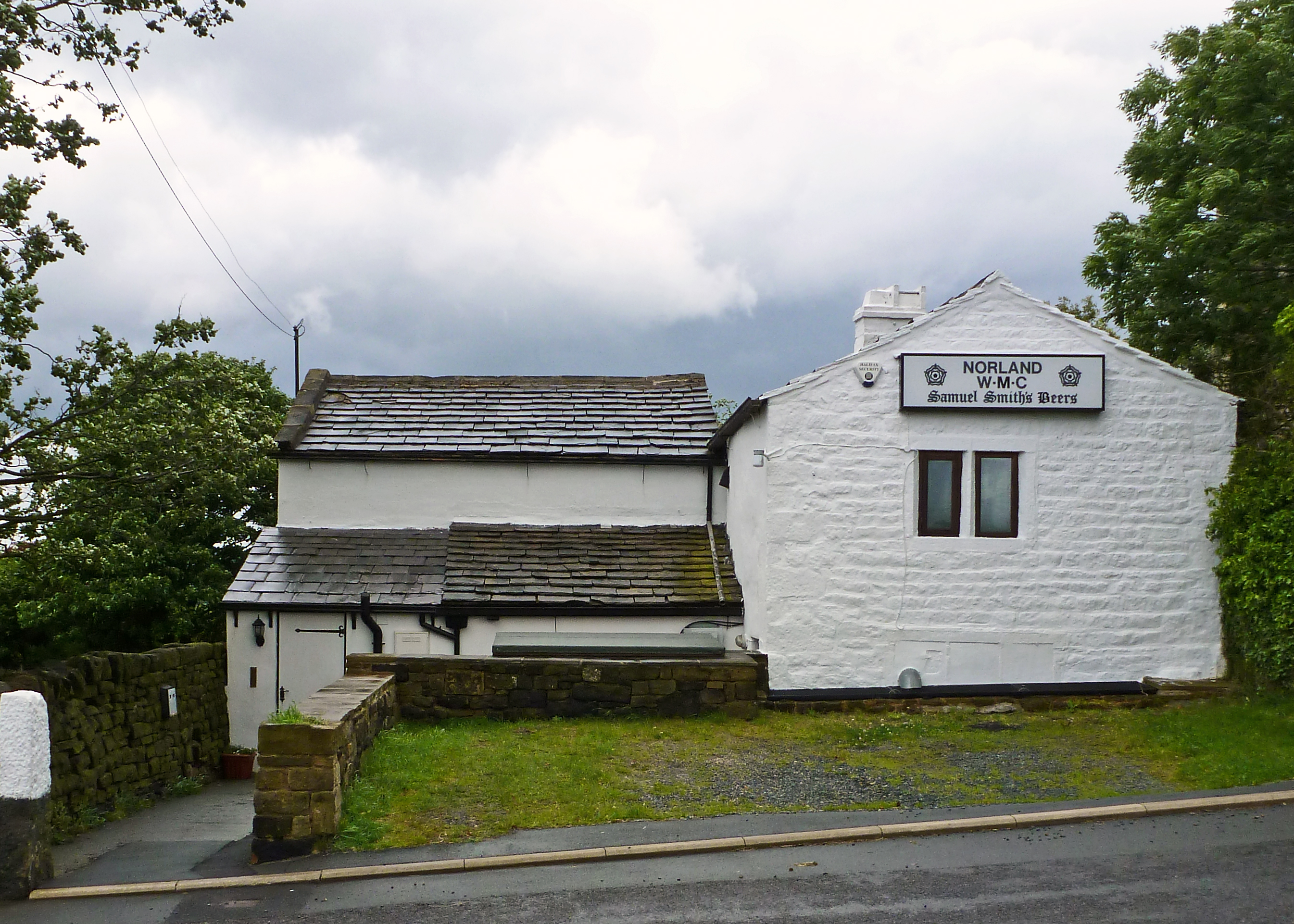
Norland, West Yorkshire
Norland is a dispersed village south of Sowerby Bridge in the metropolitan borough of Calderdale in West Yorkshire, England. == History == Historically...

Watson's Crossing Halt railway station
Watson's Crossing Halt was a halt on the Rishworth branch, in West Yorkshire, England built by the Lancashire & Yorkshire Railway. It was located just...

Sowerby Bridge railway station
Sowerby Bridge railway station serves the town of Sowerby Bridge in West Yorkshire, England. It lies on the Caldervale Line 4.5 miles (7 km) west of Halifax...
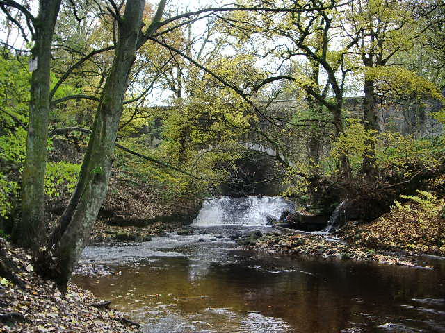
River Ryburn
The River Ryburn is a river in West Yorkshire, England. It flows through the villages of Rishworth, Ripponden and Triangle before flowing into the River...
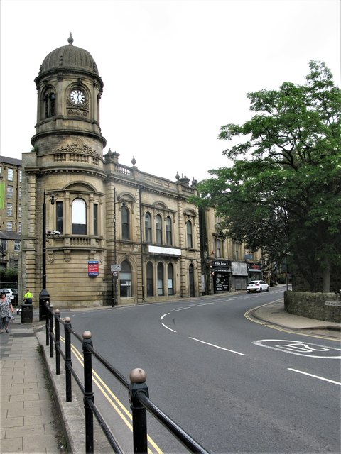
Sowerby Bridge Town Hall
Sowerby Bridge Town Hall is a former municipal building in Town Hall Street in Sowerby Bridge, West Yorkshire, England. The building, which was initially...

Tuel Lane Lock
Tuel Lane Lock is a canal lock, situated on the Rochdale Canal in Sowerby Bridge, England. It was built in 1996 as part of the canal's restoration, and...
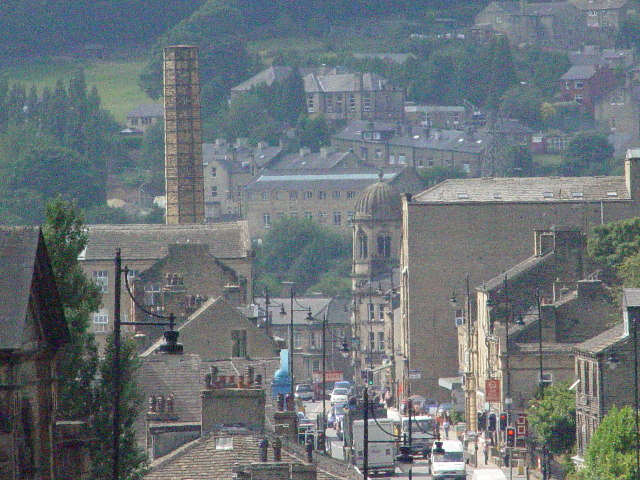
Sowerby Bridge
Sowerby Bridge ( SOR-bi) is a market town in the Upper Calder Valley in Calderdale in West Yorkshire, England. The Calderdale Council ward population at...

Triangle railway station
Triangle railway station was a railway station near Triangle on the Rishworth branch built by the Lancashire & Yorkshire Railway. When open, services ran...
Nearby Amenities
Located within 500m of 53.697703,-1.9033937Have you been to Stormer Hill?
Leave your review of Stormer Hill below (or comments, questions and feedback).