Pen Hill
Hill, Mountain in Gloucestershire Cotswold
England
Pen Hill
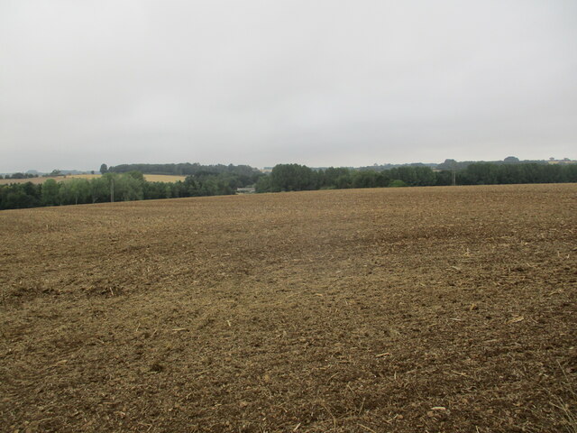
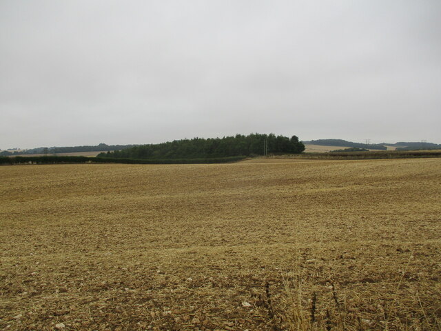
Pen Hill is a prominent hill located in the county of Gloucestershire, England. Situated near the village of Stanton, it is part of the scenic Cotswold Hills, renowned for their rolling landscape and picturesque beauty. Rising to a height of approximately 305 meters (1,001 feet), Pen Hill offers panoramic views of the surrounding countryside, making it a popular destination for hikers, nature enthusiasts, and photographers.
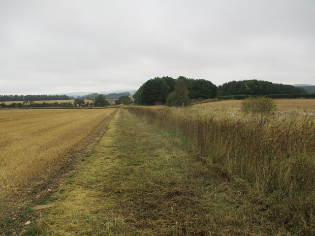
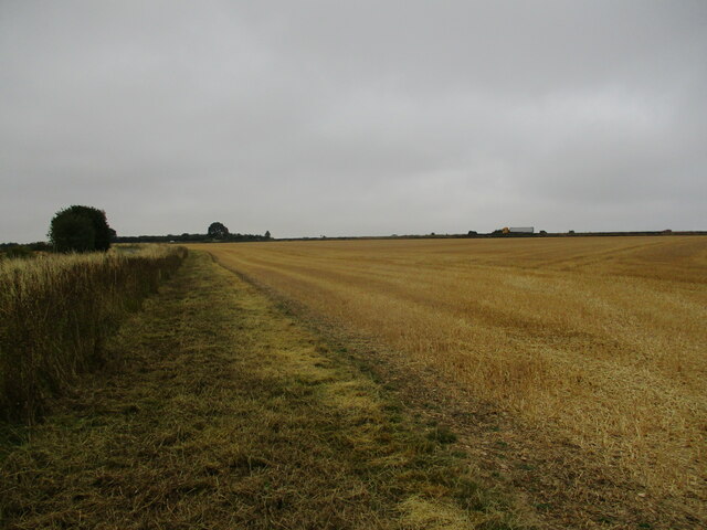
The hill is characterized by its distinctive shape, with a long ridge that runs from east to west. The slopes are predominantly covered in pastureland, dotted with sheep and cattle, giving it a quintessential English countryside charm. At the summit, visitors can find a trig point and a stone cairn, providing a sense of accomplishment for those who reach the top.
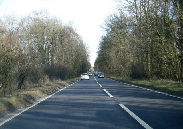
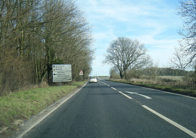
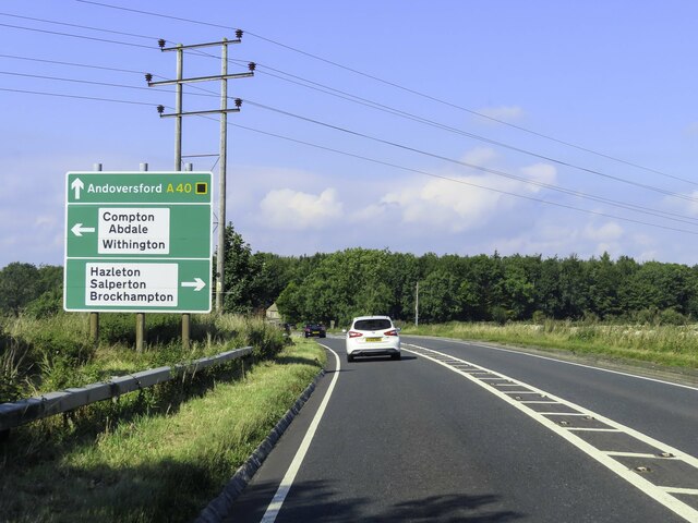
Pen Hill is intersected by several footpaths and bridleways, making it easily accessible for walkers of all abilities. One of the most popular routes is the Cotswold Way, a long-distance trail that stretches over 160 kilometers (100 miles) from Chipping Campden to Bath. The hill is also home to a variety of wildlife, including birds, rabbits, and even the occasional deer.
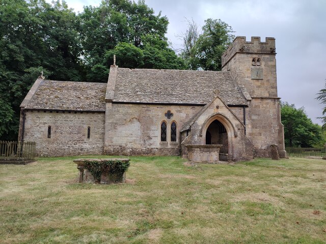
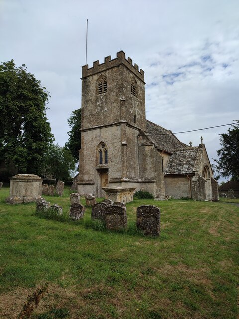
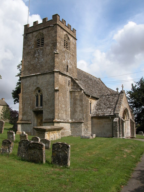
The area surrounding Pen Hill is rich in history, with evidence of human habitation dating back thousands of years. Nearby, the village of Stanton boasts a number of historic buildings, including a 12th-century church and charming thatched-roof cottages.
Overall, Pen Hill in Gloucestershire is a picturesque and historically significant hill, offering visitors the chance to immerse themselves in the natural beauty and cultural heritage of the Cotswolds.
If you have any feedback on the listing, please let us know in the comments section below.
Pen Hill Images
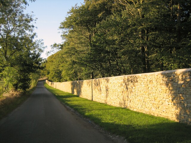
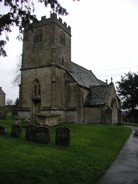
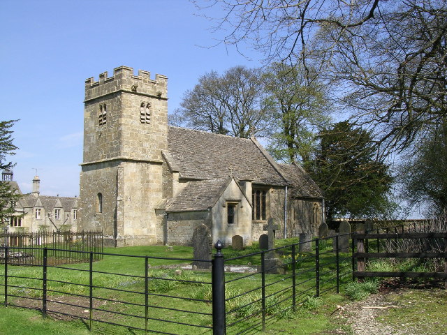
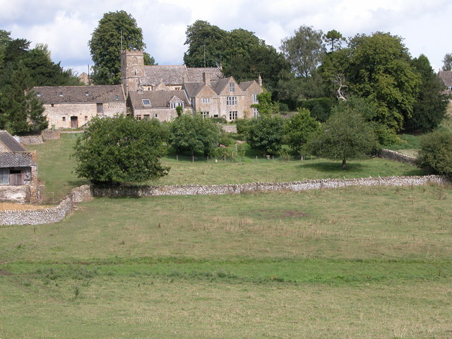
Images are sourced within 2km of 51.873585/-1.9075728 or Grid Reference SP0619. Thanks to Geograph Open Source API. All images are credited.
Pen Hill is located at Grid Ref: SP0619 (Lat: 51.873585, Lng: -1.9075728)
Administrative County: Gloucestershire
District: Cotswold
Police Authority: Gloucestershire
What 3 Words
///finger.eclipses.unsecured. Near Westfield, Gloucestershire
Nearby Locations
Related Wikis

Hampen Railway Cutting
Hampen Railway Cutting (grid reference SP062205) is a 3.9-hectare (9.6-acre) geological Site of Special Scientific Interest in Gloucestershire, notified...

Salperton
Salperton is a village and former civil parish, now in the parish of Hazleton, in the Cotswolds about 8 miles (13 km) east of Cheltenham in Gloucestershire...

Hazleton, Gloucestershire
Hazleton or Haselton is a village and civil parish in the Cotswold District of Gloucestershire, England. The population of the civil parish in the 2011...
Hazleton Abbey
Hazleton Abbey was an abbey at Hazleton in Gloucestershire, England. It was formed in the 12th century. Monks from Kingswood Abbey bought the land after...
Nearby Amenities
Located within 500m of 51.873585,-1.9075728Have you been to Pen Hill?
Leave your review of Pen Hill below (or comments, questions and feedback).