Merryshield Common

Downs, Moorland in Northumberland

England

Merryshield Common

B6309 north of Old Ridley
B6309 north of Old Ridley Credit: Colin Pyle

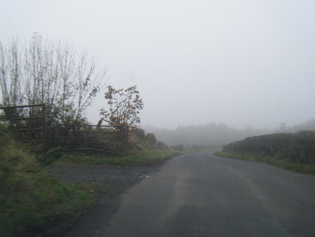
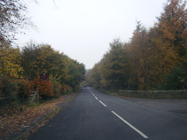
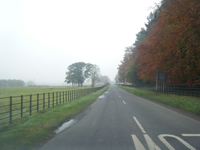
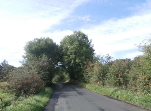
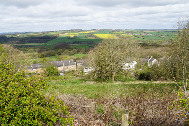
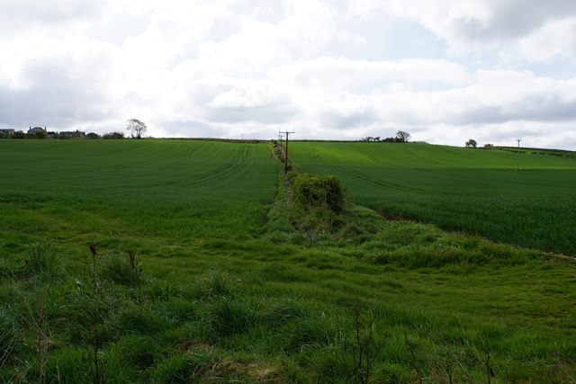
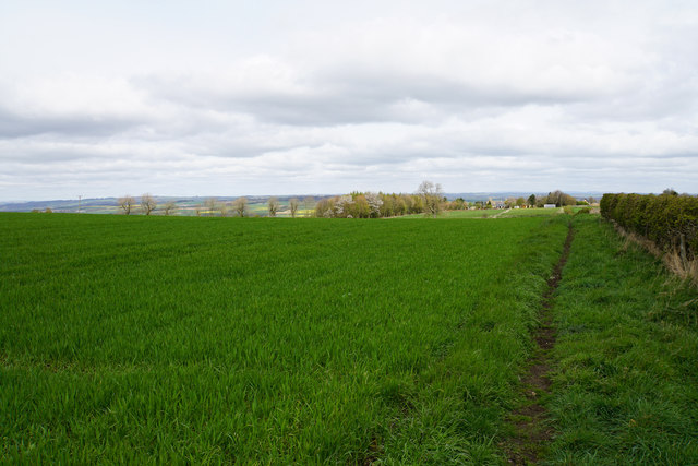
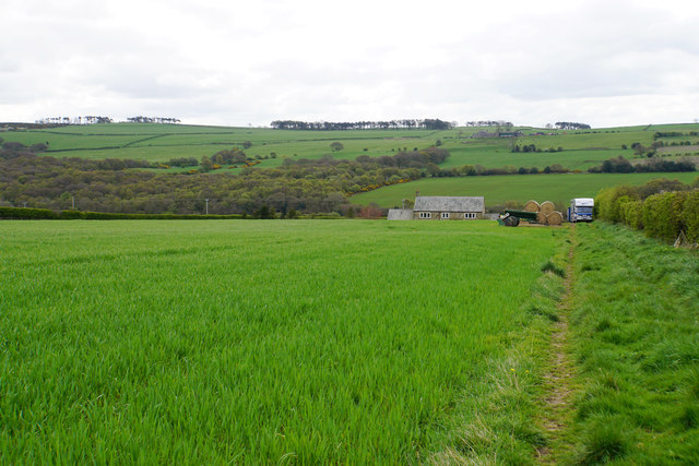
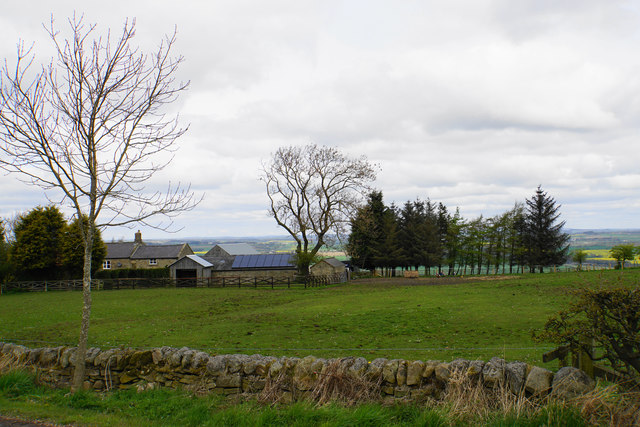
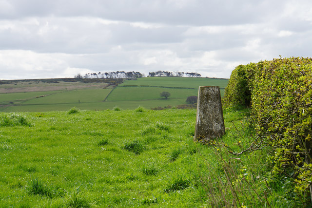
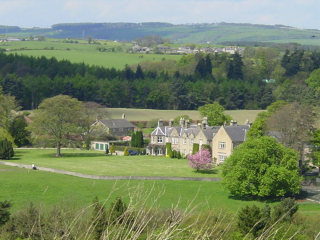
Merryshield Common is a vast expanse of rugged moorland located in Northumberland, England. Situated in the north of the county, it covers an area of approximately 5 square miles and is a prominent part of the North Pennines Area of Outstanding Natural Beauty. The common is characterized by its rolling hills, expansive heather-covered slopes, and rocky outcrops, providing a stunning and wild landscape for visitors to explore.

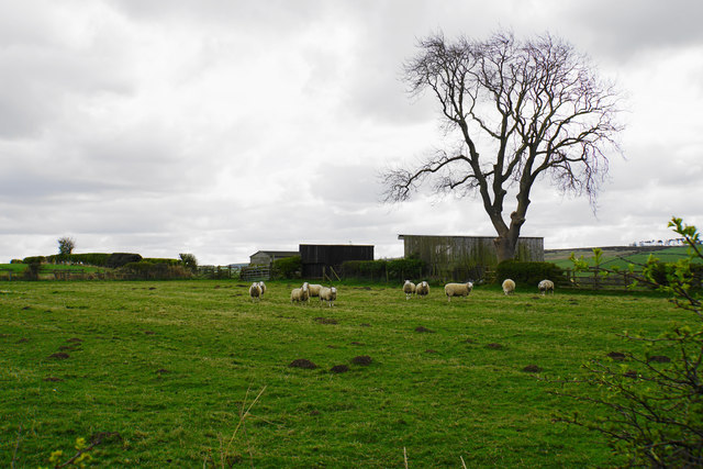
The common is renowned for its rich biodiversity, with a variety of plants, birds, and animals calling it home. Heather dominates the landscape, painting the moorland in vibrant shades of purple during the summer months. Rare bird species, such as the golden plover and curlew, can be spotted flying overhead, while ground-nesting birds like the red grouse find refuge in the heather.

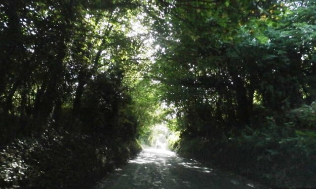
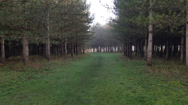
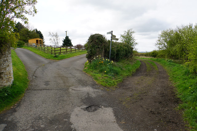
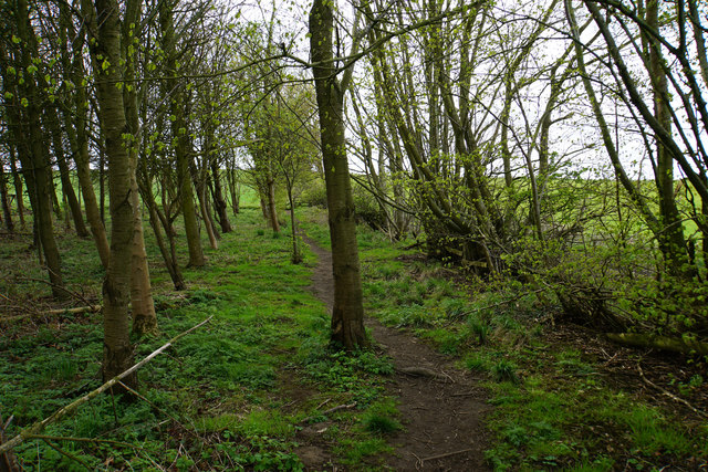
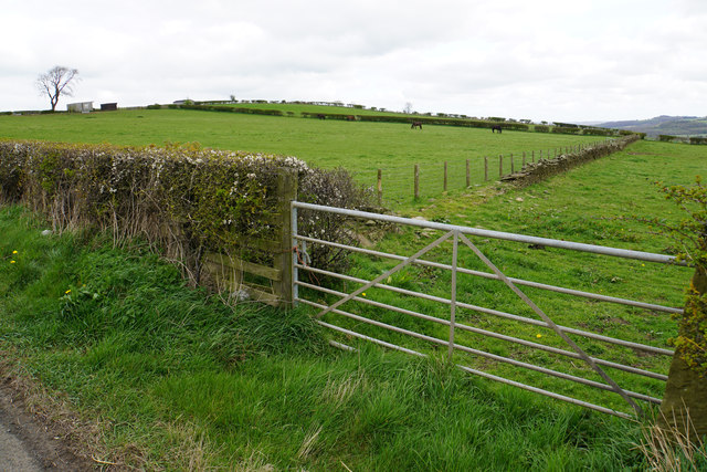
The terrain of Merryshield Common is a blend of gentle downs and steep slopes, offering visitors diverse walking opportunities. Hikers and ramblers can enjoy the stunning panoramas and take in the peaceful atmosphere as they venture across the moorland. The common is also intersected by several footpaths, making it easily accessible for those looking to explore the area.

Merryshield Common is a popular destination for nature enthusiasts and photographers, who are drawn to its untouched beauty and tranquil surroundings. Its remote location adds to its allure, providing a sense of escape and serenity. Whether visitors seek a peaceful stroll or a more challenging hike, Merryshield Common offers a captivating and unspoiled natural experience in the heart of Northumberland.

If you have any feedback on the listing, please let us know in the comments section below.

Merryshield Common Images

Images are sourced within 2km of 54.952182/-1.8982308 or Grid Reference NZ0661. Thanks to Geograph Open Source API. All images are credited.

B6309 north of Old Ridley
B6309 near Stocksfield Hall
National Cycle Route 72 near Bywell Castle
The B6309 near Stocksfield
The B6309 near Guessburn
Footpath in woods near Guessburn
Kissing Gate on footpath where it meets A695 near Stocksfield Station
Hillside above West Mickley Looking down from Mount Pleasant, with the Tyne valley ahead.
Hillside above West Mickley
Looking down from Mount Pleasant, with the Tyne valley ahead.
Fields by High Mickley Part of the hillside which climbs to Mickley Moor on the southern side of the Tyne valley. Some houses of High Mickley can be seen high to the left. The new crops are growing well.
Fields by High Mickley
Part of the hillside which climbs to Mickley Moor on the southern side of the Tyne valley. Some houses of High Mickley can be seen high to the left. The new crops are growing well.
A choice of routes Several tracks and paths leaving High Mickley.
A choice of routes
Several tracks and paths leaving High Mickley.
Footpath near High Mickley The path runs parallel to Ward Lane which is to the right, and is currently much more pleasant walking.
Footpath near High Mickley
The path runs parallel to Ward Lane which is to the right, and is currently much more pleasant walking.
Bridleway on Broom Hill Heading towards High Mickley which can be seen ahead. The Tyne valley opens out beyond.
Bridleway on Broom Hill
Heading towards High Mickley which can be seen ahead. The Tyne valley opens out beyond.
Bridleway approaching Mickley Moor West Farm
Field entrance on Mickley Moor The highest point is ahead at just over 200 metres above sea level.
Field entrance on Mickley Moor
The highest point is ahead at just over 200 metres above sea level.
Sheep on Mickley Moor This is roughly the highest point of the moor, which is all now farmland.
Sheep on Mickley Moor
This is roughly the highest point of the moor, which is all now farmland.
Reservoir near High Mickley Set above Prudhoe on Edgewell House Road, and I presume it supplies the town.
Reservoir near High Mickley
Set above Prudhoe on Edgewell House Road, and I presume it supplies the town.
East Farm A farm on the edge of High Mickley which now I think caters just for horses.
East Farm
A farm on the edge of High Mickley which now I think caters just for horses.
Trig point near High Mickley In a private field just off Edgewell House Road,
Trig point near High Mickley
In a private field just off Edgewell House Road,
Show me another place!

Merryshield Common is located at Grid Ref: NZ0661 (Lat: 54.952182, Lng: -1.8982308)

Unitary Authority: Northumberland

Police Authority: Northumbria

What 3 Words

///oldest.flattery.violin. Near Stocksfield, Northumberland

Related Wikis

Branch End

Branch End is part of the village of Stocksfield in Northumberland, England. It is situated at the junction of the A695 Main Road with New Ridley Road...

West Mickley

West Mickley is a hamlet east of Stocksfield, in the southern part of Northumberland, England. Along with the neighbouring settlements of High Mickley...

Cherryburn

Cherryburn is a cottage in Mickley, Northumberland, England. It was the birthplace of Thomas Bewick, an English wood engraver and ornithologist. The cottage...

Stocksfield

Stocksfield is a small commuter village situated close to the River Tyne, about 14 miles (23 km) west of Newcastle upon Tyne in the southern part of Northumberland...

Nearby Amenities

Located within 500m of 54.952182,-1.8982308
Blue Bell Garage
Phone: +44 1661 842 586
Shop: car_repair
Lat/Long: 54.9484892/-1.8942419
Bus Stop
Bench: no
Naptan AtcoCode: 3100Z070617
Naptan NaptanCode: nldadpag
Shelter: yes
Lat/Long: 54.9504003/-1.891439
Barrier: stile
Source: survey
Lat/Long: 54.9536494/-1.8932657
Bus Stop
Bench: no
Bus: yes
Public Transport: platform
Shelter: no
Lat/Long: 54.9504826/-1.891049
The data included in this document is from www.openstreetmap.org. The data is made available under ODbL.

Have you been to Merryshield Common?

Leave your review of Merryshield Common below (or comments, questions and feedback).