Green Hill
Hill, Mountain in Northumberland
England
Green Hill
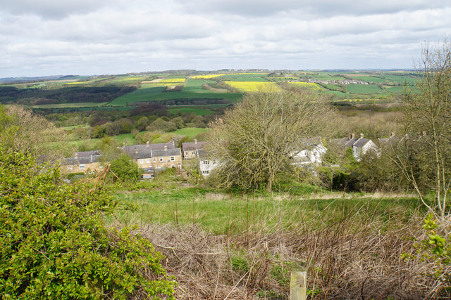
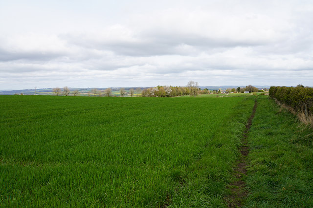
Green Hill is a prominent hill located in Northumberland, England. It is part of the Cheviot Hills range, which forms a natural border between England and Scotland. Standing at an elevation of approximately 619 meters (2,030 feet), it is one of the highest peaks in the area, offering breathtaking views of the surrounding countryside.
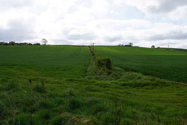
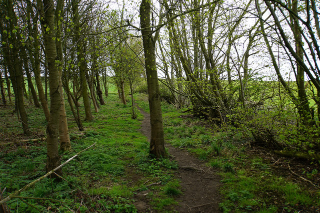
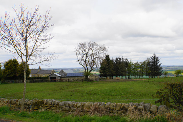
This hill is known for its lush green landscape, covered in a variety of vegetation including heather, grasses, and some scattered trees. It is particularly stunning during spring and summer when the hills come alive with vibrant colors. The hill's beauty is enhanced by the presence of several streams that flow down its slopes, creating a serene and picturesque atmosphere.
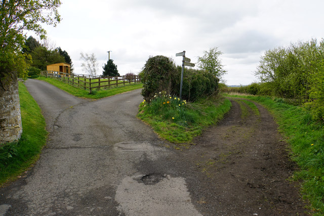
Green Hill is a popular destination for hikers and nature enthusiasts, offering a range of walking trails suitable for all abilities. The most common route to the summit starts from the nearby village of Alwinton, providing hikers with a moderate but rewarding challenge. The panoramic views from the top are truly spectacular, stretching across Northumberland National Park and even as far as the Scottish borders on a clear day.
The hill also holds historical significance, as it was once part of the Anglo-Scottish border and witnessed conflicts between the two nations. Ruins of old settlements and ancient fortifications can still be seen in the area, adding an element of intrigue and historical curiosity to any visit.
Overall, Green Hill is a captivating natural landmark, offering visitors a chance to immerse themselves in the beauty of Northumberland's countryside while enjoying its rich historical heritage.
If you have any feedback on the listing, please let us know in the comments section below.
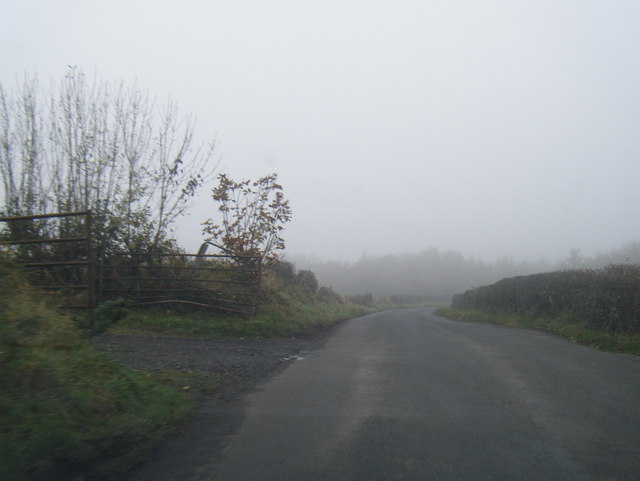
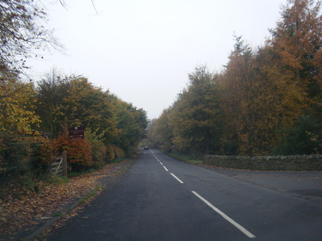
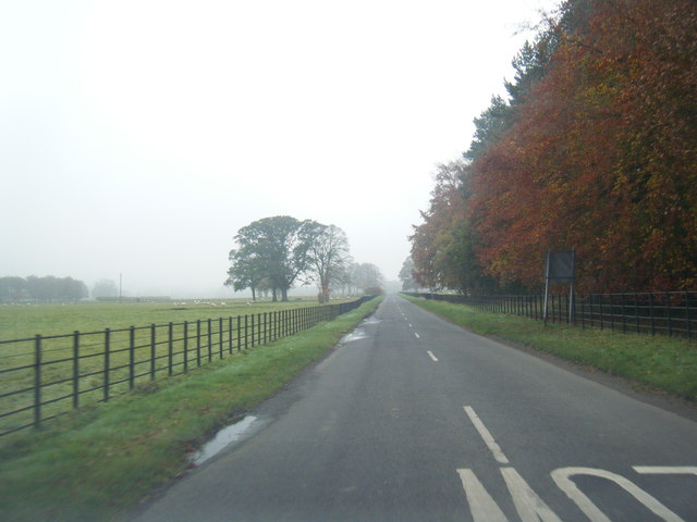
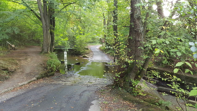
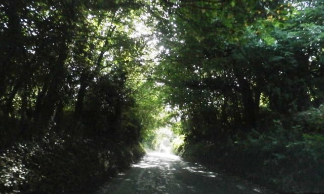
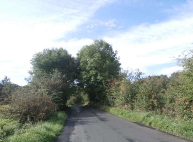
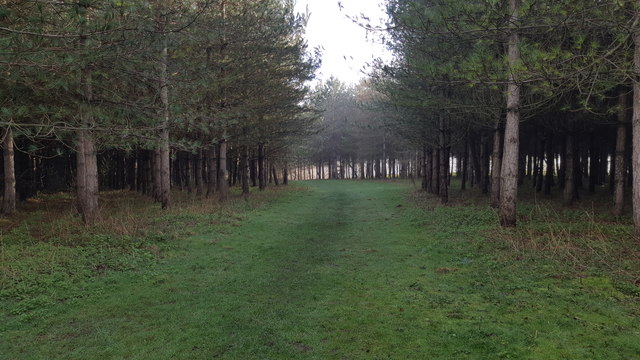
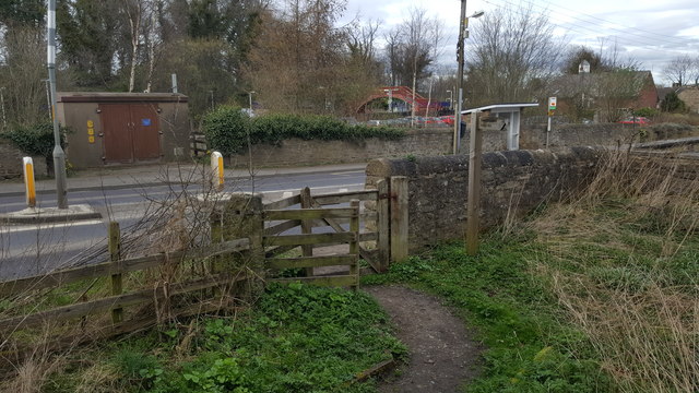
Green Hill Images
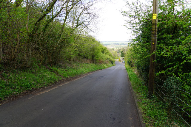
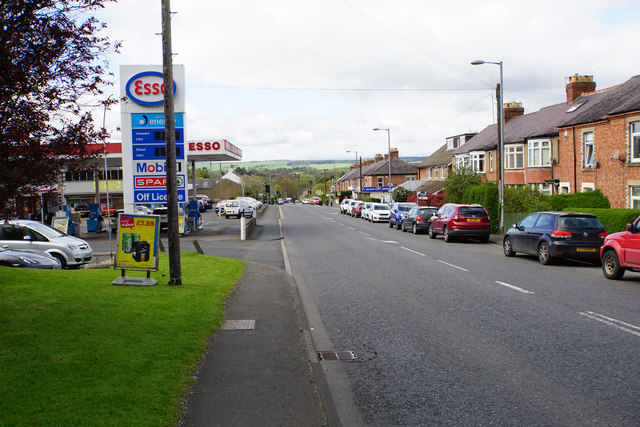
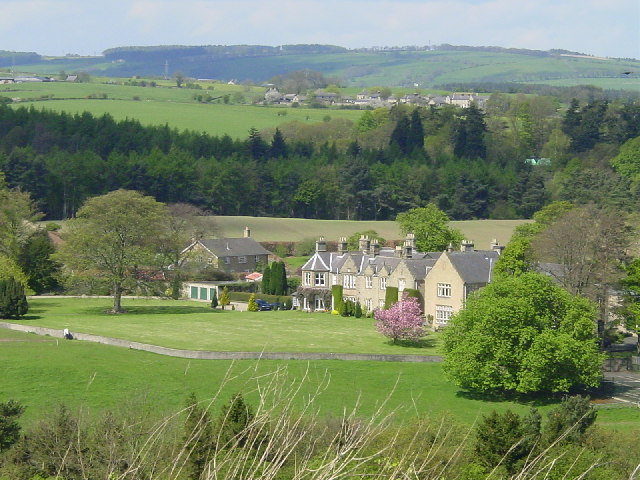
Images are sourced within 2km of 54.950497/-1.9040275 or Grid Reference NZ0661. Thanks to Geograph Open Source API. All images are credited.
Green Hill is located at Grid Ref: NZ0661 (Lat: 54.950497, Lng: -1.9040275)
Unitary Authority: Northumberland
Police Authority: Northumbria
What 3 Words
///persuade.fevered.realm. Near Stocksfield, Northumberland
Nearby Locations
Related Wikis

Branch End
Branch End is part of the village of Stocksfield in Northumberland, England. It is situated at the junction of the A695 Main Road with New Ridley Road...
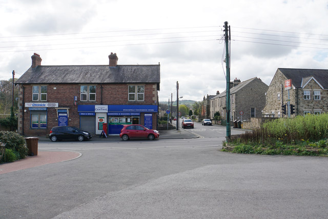
Stocksfield
Stocksfield is a small commuter village situated close to the River Tyne, about 14 miles (23 km) west of Newcastle upon Tyne in the southern part of Northumberland...
Stocksfield Parish
Stocksfield, formerly Broomley and Stocksfield is a civil parish in Northumberland, England. At the 2001 census, the parish, which includes the village...

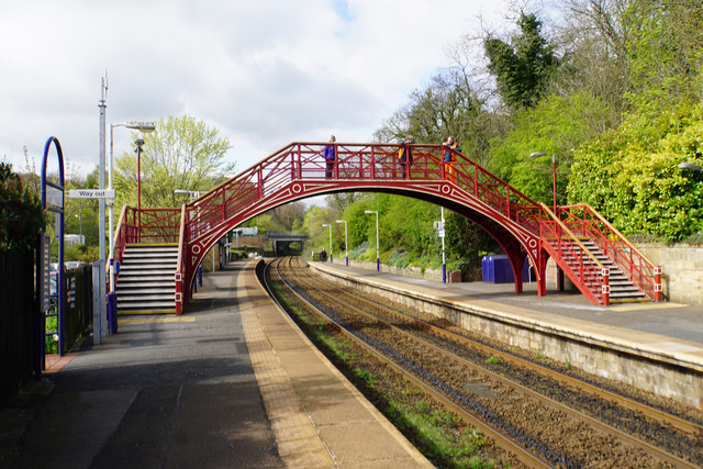
Stocksfield railway station
Stocksfield is a railway station on the Tyne Valley Line, which runs between Newcastle and Carlisle via Hexham. The station, situated 14 miles 47 chains...
Nearby Amenities
Located within 500m of 54.950497,-1.9040275Have you been to Green Hill?
Leave your review of Green Hill below (or comments, questions and feedback).