Black Edge
Hill, Mountain in Derbyshire High Peak
England
Black Edge

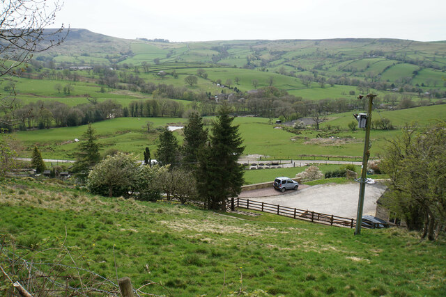
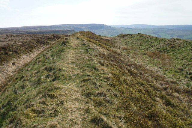
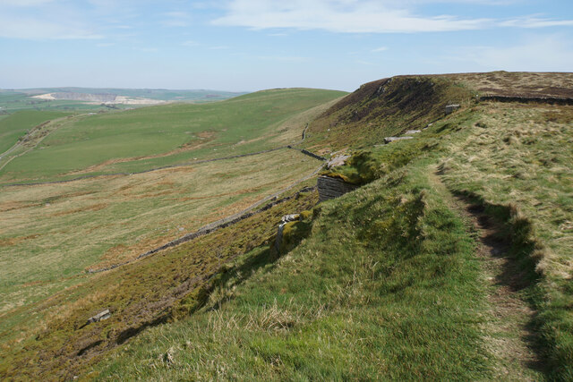
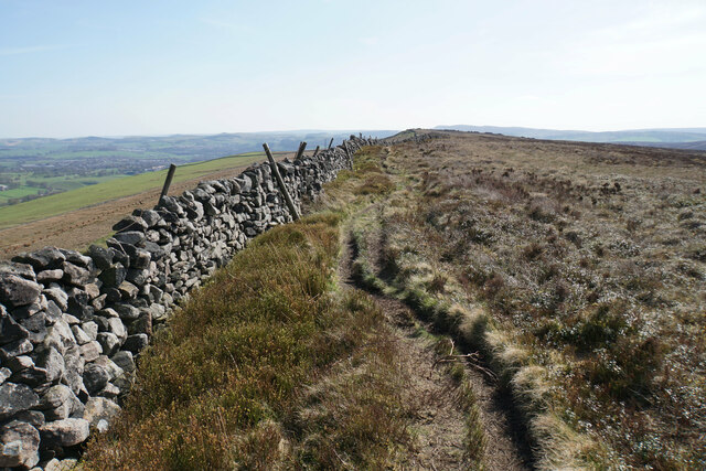
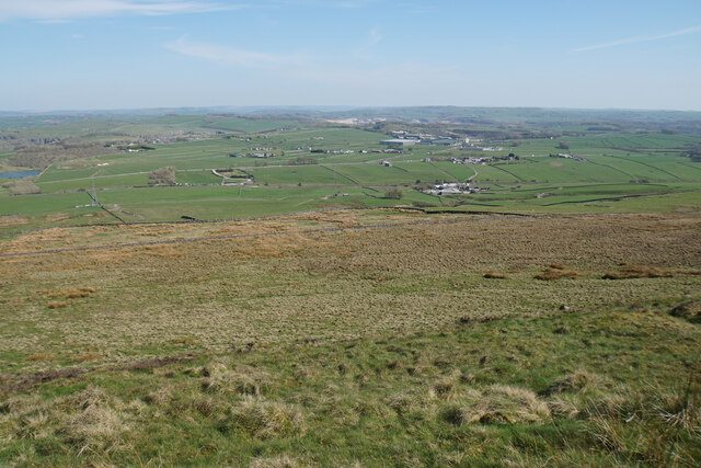
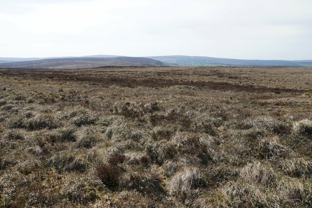
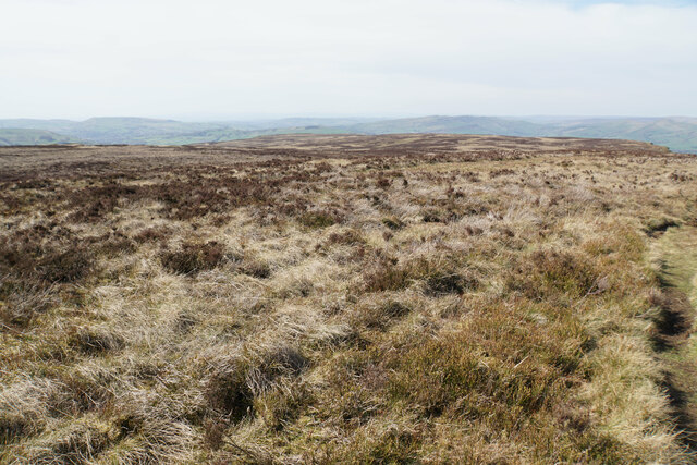
Black Edge is a prominent hill located in Derbyshire, England. It is part of the Pennine range and is situated near the town of Chapel-en-le-Frith. Rising to a height of 507 meters (1,663 feet), Black Edge offers breathtaking panoramic views of the surrounding countryside.
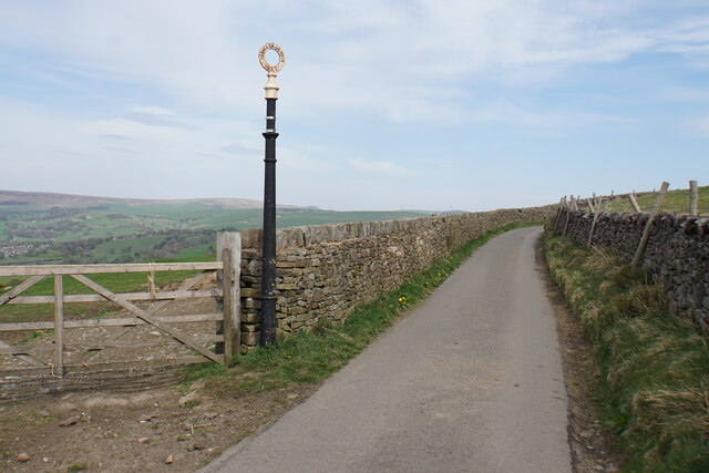
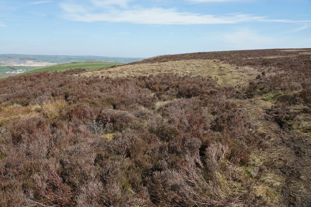
The hill is known for its distinctive dark-colored gritstone, which gives it its name. It is a popular destination for hikers and outdoor enthusiasts, attracting visitors from both local and distant areas. The ascent to the summit is relatively challenging, with steep inclines and rugged terrain, but the rewarding views make it well worth the effort.
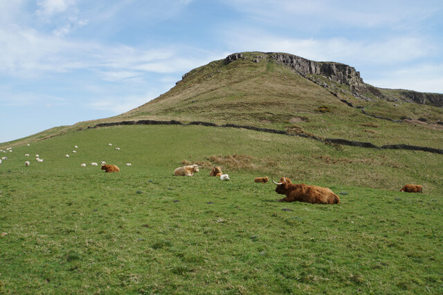
The hill is also famous for its historical significance. It was once a strategic location for signaling, with beacon fires lit on its summit to warn against approaching enemies. Additionally, remnants of the region's mining heritage can be found on Black Edge, with abandoned quarry workings and old mine shafts dotting the landscape.
Wildlife enthusiasts will appreciate the diverse range of flora and fauna that inhabit the hill. The heather-covered moorland provides a habitat for various bird species, including red grouse and peregrine falcons. Rare plants such as bilberry and cotton grass can also be spotted in the area.
Overall, Black Edge is a natural gem in Derbyshire, offering a challenging yet rewarding outdoor experience with its stunning views, historical significance, and abundant wildlife.
If you have any feedback on the listing, please let us know in the comments section below.
Black Edge Images
Images are sourced within 2km of 53.289983/-1.9076436 or Grid Reference SK0677. Thanks to Geograph Open Source API. All images are credited.


Black Edge is located at Grid Ref: SK0677 (Lat: 53.289983, Lng: -1.9076436)
Administrative County: Derbyshire
District: High Peak
Police Authority: Derbyshire
What 3 Words
///wiggly.issuer.juggles. Near Dove Holes, Derbyshire
Nearby Locations
Related Wikis

Black Edge
Black Edge is a summit, 507 metres (1,663 ft) high, on a sharp ridgeline above the village of Dove Holes in the Dark Peak area of the Peak District in...
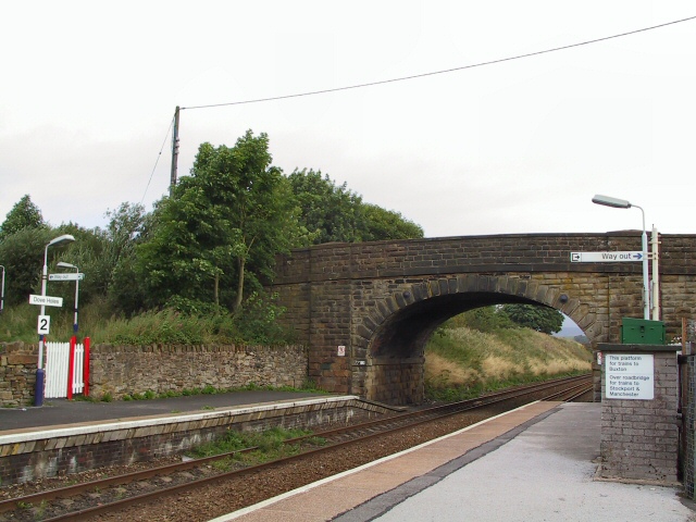
Dove Holes railway station
Dove Holes railway station serves the village of Dove Holes, Derbyshire, England. The station is on the Buxton line between Manchester Piccadilly and Buxton...

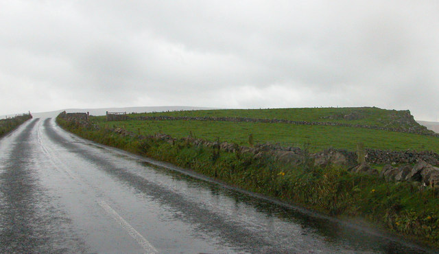
Dove Holes
Dove Holes is a village in the High Peak district of Derbyshire, England. It has a population of about 1,200 (2001), shown in the 2011 Census as being...
Batham Gate
Batham Gate is the medieval name for a Roman road in Derbyshire, England, which ran south-west from Templebrough on the River Don in South Yorkshire to...
Nearby Amenities
Located within 500m of 53.289983,-1.9076436Have you been to Black Edge?
Leave your review of Black Edge below (or comments, questions and feedback).