Staker Hill

Hill, Mountain in Derbyshire High Peak

England

Staker Hill

Minor road passing Thirkelow Rocks
Minor road passing Thirkelow Rocks Credit: Graham Hogg

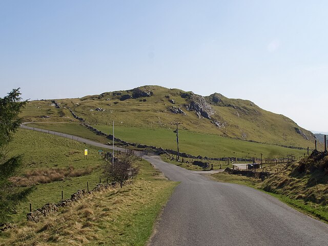
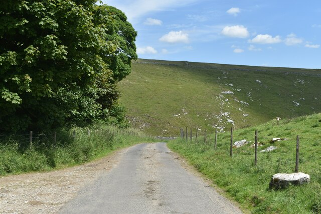
Staker Hill is a prominent landmark located in the county of Derbyshire, England. Situated near the village of Staker Hill, it is a picturesque hill that offers stunning views of the surrounding countryside. Although referred to as a hill, its elevation and rugged terrain give it the appearance and feel of a small mountain.

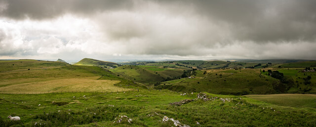
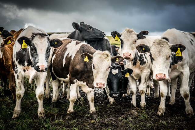
With an altitude of approximately 350 meters (1148 feet), Staker Hill stands as a striking feature in the region. Its distinctive shape and steep slopes make it easily identifiable from a distance. Covered in lush green vegetation, the hill is home to a variety of plant and animal species, contributing to its natural beauty and ecological significance.

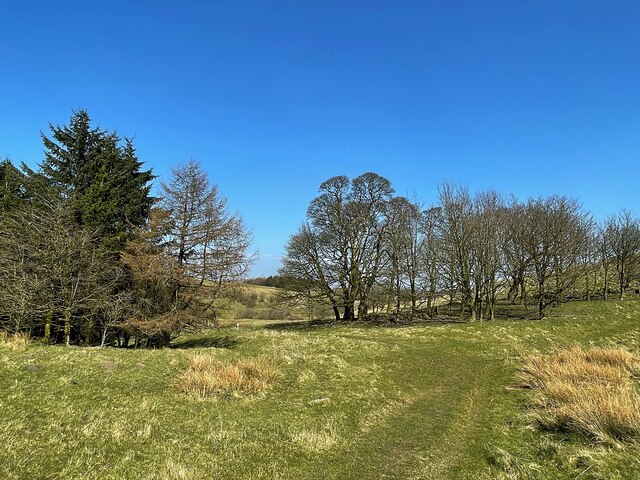
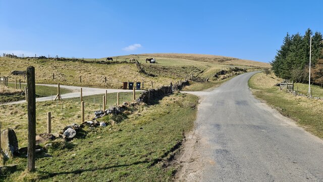
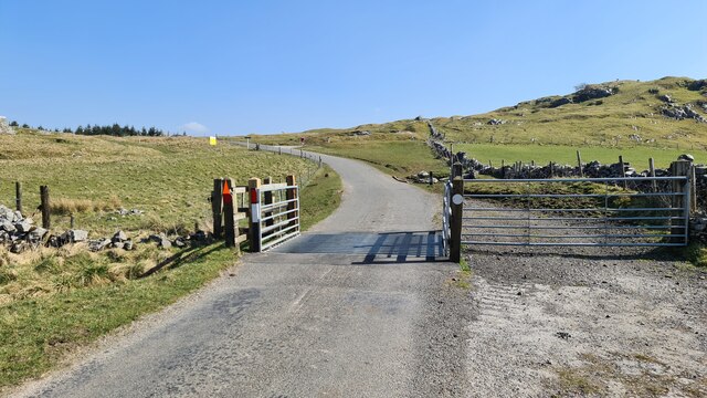
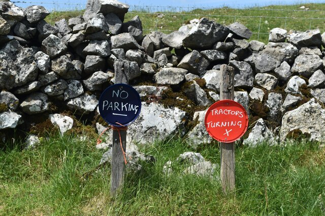
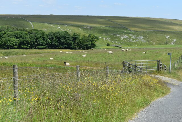
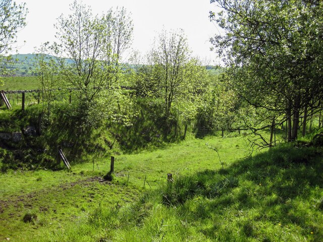
Hikers and nature enthusiasts are drawn to Staker Hill for its scenic trails and panoramic vistas. The hill offers a range of routes to suit different levels of fitness and experience, making it accessible to both casual walkers and more seasoned adventurers. The pathways meander through woodlands, across open fields, and along the hill's undulating slopes, providing diverse and captivating landscapes throughout the journey.

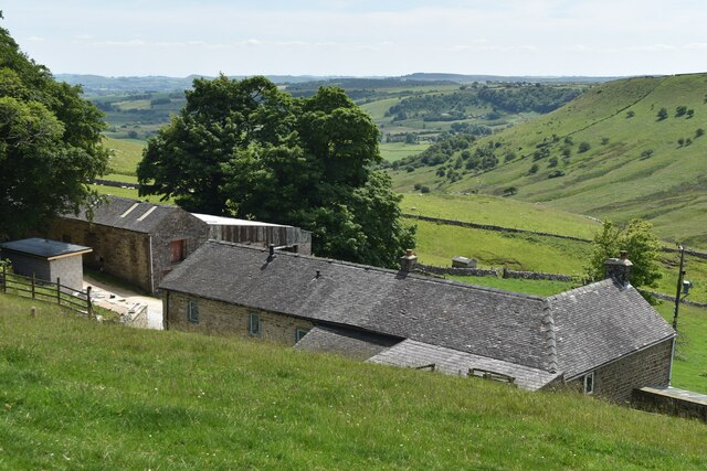
At the summit of Staker Hill, visitors are rewarded with breathtaking views of the surrounding Derbyshire Dales and the distant peaks of the Peak District National Park. On a clear day, it is possible to spot landmarks such as Kinder Scout and Mam Tor. The hill's vantage point also offers a fantastic opportunity to observe local wildlife, including birds of prey hovering above and small mammals scurrying through the undergrowth.

Overall, Staker Hill is a remarkable natural landmark that combines stunning scenery, biodiversity, and recreational opportunities. Whether exploring its trails or simply admiring its beauty from afar, visitors to this Derbyshire gem are sure to be captivated by its charm.

If you have any feedback on the listing, please let us know in the comments section below.
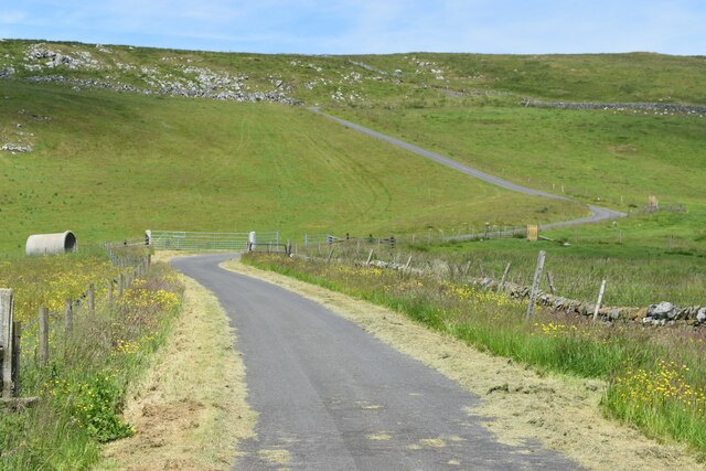
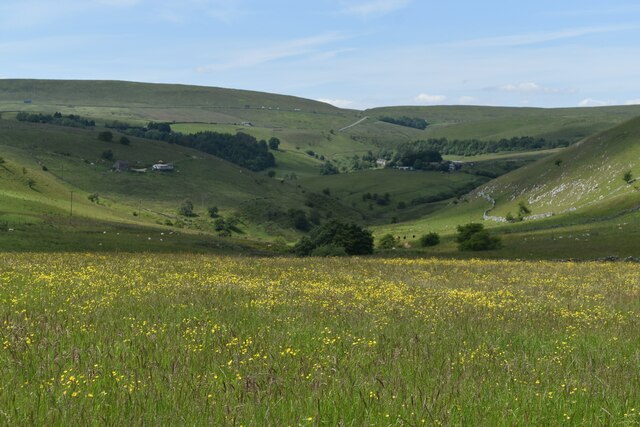
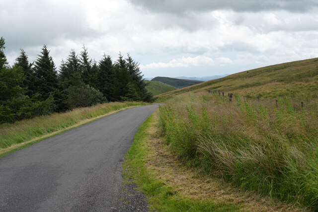
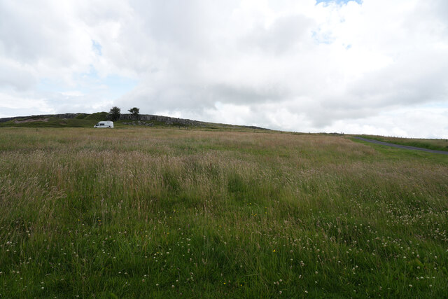
Staker Hill Images

Images are sourced within 2km of 53.227601/-1.9079573 or Grid Reference SK0670. Thanks to Geograph Open Source API. All images are credited.

Minor road passing Thirkelow Rocks
Footpath through trees On moorland near Turncliffe Common
Footpath through trees
On moorland near Turncliffe Common
Road below Thirkelow Rocks
Greensides
Greensides
Lane into Dowel Dale at Owl Hole The lane descends from this point to Dowall Hall through a miniature limestone valley, with crags and caves and a short gorge section at the lower end.
Lane into Dowel Dale at Owl Hole
The lane descends from this point to Dowall Hall through a miniature limestone valley, with crags and caves and a short gorge section at the lower end.
Chocolate lid signs I was expecting something agricultural but these signs are made from popular chocolate box lids!
Chocolate lid signs
I was expecting something agricultural but these signs are made from popular chocolate box lids!
View towards Greensides
View over Stoop Farm
Road from Booth Farm
Valley view north of Booth Farm
Near Leap Edge Not really very far from Buxton, but the area looks quite bleak.
Near Leap Edge
Not really very far from Buxton, but the area looks quite bleak.
Near Buxton Raceway The view is looking east with the Buxton Raceway to the north but not really visible from this spot.
Near Buxton Raceway
The view is looking east with the Buxton Raceway to the north but not really visible from this spot.
Thirkelow Hill Summit 451m / 1480ft Class TuMP 

The Peak on the left, just poking out is Chrome Hill and Hollins Hill Next to it.

<span class="nowrap"><a title="https://www.hill-bagging.co.uk/mountaindetails.php?qu=S&rf=16504" rel="nofollow ugc noopener" href="https://www.hill-bagging.co.uk/mountaindetails.php?qu=S&rf=16504">Link</a><img style="margin-left:2px;" alt="External link" title="External link - shift click to open in new window" src="https://s1.geograph.org.uk/img/external.png" width="10" height="10"/></span>
Thirkelow Hill Summit 451m / 1480ft
Class TuMP The Peak on the left, just poking out is Chrome Hill and Hollins Hill Next to it. LinkExternal link
New Friends It's always good to make new friends when out walking . These were a tad boisterous...
New Friends
It's always good to make new friends when out walking . These were a tad boisterous...
WW2 Pill Box, High Edge 462m / 1516ft Class : Tump / Ethel 


<span class="nowrap"><a title="https://www.hill-bagging.co.uk/mountaindetails.php?qu=S&rf=16499" rel="nofollow ugc noopener" href="https://www.hill-bagging.co.uk/mountaindetails.php?qu=S&rf=16499">Link</a><img style="margin-left:2px;" alt="External link" title="External link - shift click to open in new window" src="https://s1.geograph.org.uk/img/external.png" width="10" height="10"/></span>
WW2 Pill Box, High Edge 462m / 1516ft
Class : Tump / Ethel LinkExternal link
Cairn and Pill Box, High Edge It's showing on the map as a cairn but there is a WW2 pill box right in the centre.
Cairn and Pill Box, High Edge
It's showing on the map as a cairn but there is a WW2 pill box right in the centre.
Old Harpur Hill Rail link Track bed of the old steeply inclined rail link from the Ashbourne-Buxton line to the works around Harpur Hill.
Old Harpur Hill Rail link
Track bed of the old steeply inclined rail link from the Ashbourne-Buxton line to the works around Harpur Hill.
Show me another place!

Staker Hill is located at Grid Ref: SK0670 (Lat: 53.227601, Lng: -1.9079573)

Administrative County: Derbyshire

District: High Peak

Police Authority: Derbyshire

What 3 Words

///nuns.croutons.handfuls. Near Buxton, Derbyshire

Nearby Locations

Staker Hill

Related Wikis

Harpur Hill Quarry

Harpur Hill Quarry is a disused limestone quarry on Harpur Hill, Derbyshire, England. Limestone was extracted there from 1835 to 1952 for lime burning...

Health and Safety Laboratory

The Health and Safety Laboratory (HSE Laboratory or HSL Buxton) is a large 550-acre research site in rural High Peak, Derbyshire, south of Buxton. It researches...

RAF Harpur Hill

RAF Harpur Hill is a former Royal Air Force station, situated at Harpur Hill near Buxton, Derbyshire in England. The site was operational from 1938 to...

Harpur Hill

Harpur Hill is a small village on the outskirts of Buxton, Derbyshire, England. It is in the Cote Heath ward of the High Peak Borough Council. It has...

Nearby Amenities

Located within 500m of 53.227601,-1.9079573
Archaeological Site: tumulus
Historic: archaeological_site
Source: NLS-OS-1st_Series
Lat/Long: 53.2319341/-1.9078875
The data included in this document is from www.openstreetmap.org. The data is made available under ODbL.

Have you been to Staker Hill?

Leave your review of Staker Hill below (or comments, questions and feedback).