Badger's Hill

Hill, Mountain in Worcestershire Wychavon

England

Badger's Hill

Drive to the Vale Golf and Country Club Looking east from the Bishampton to Evesham Road.
Drive to the Vale Golf and Country Club Credit: Jonathan Billinger

Badger's Hill is a prominent geographical feature located in Worcestershire, England. It is classified as a hill rather than a mountain, with an elevation of approximately 238 meters (781 feet) above sea level. This makes it a notable landmark within the region's topography.

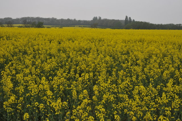
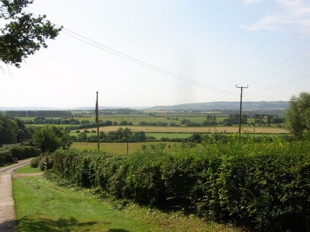
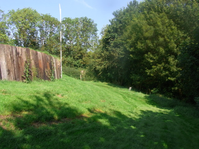
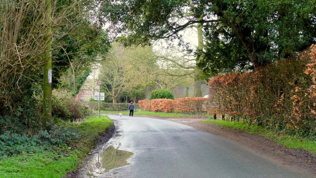
Situated in the picturesque countryside, Badger's Hill offers breathtaking panoramic views of the surrounding landscape. It is nestled within an area known for its rolling hills, green pastures, and charming villages, making it a popular destination for nature enthusiasts and hikers seeking stunning vistas.

The hill gets its name from the presence of badgers in the area, who are known to inhabit the extensive network of burrows that dot its slopes. This adds to the hill's allure, as wildlife enthusiasts can often spot these elusive creatures and observe their natural behavior.

Badger's Hill is also known for its rich biodiversity. The hillside is adorned with a variety of flora and fauna, including a mix of deciduous and coniferous trees, wildflowers, and various species of birds and small mammals. This makes it an excellent spot for birdwatching and nature photography.

Additionally, the hill has historical significance, as it is believed to have been a site of human activity dating back to the prehistoric era. Archaeological evidence suggests that ancient settlements and burial mounds were once present in the vicinity.

Overall, Badger's Hill in Worcestershire offers visitors a chance to immerse themselves in the beauty of the English countryside while enjoying the tranquility and natural wonders it has to offer.

If you have any feedback on the listing, please let us know in the comments section below.

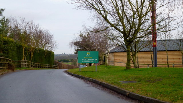
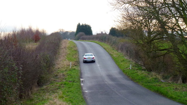
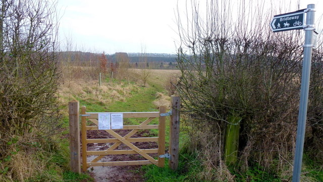
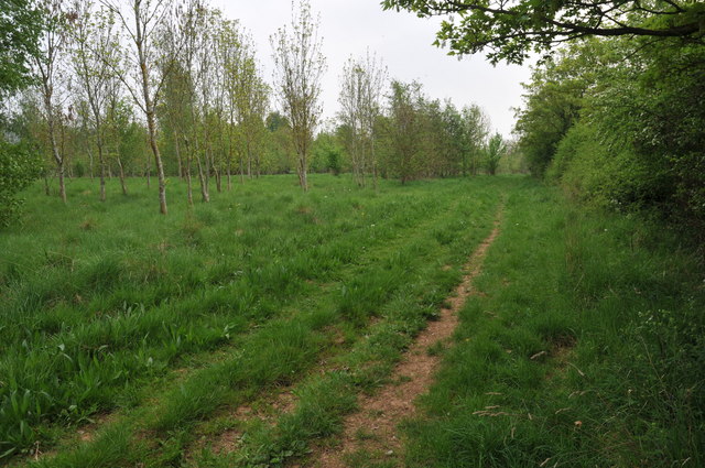
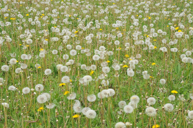
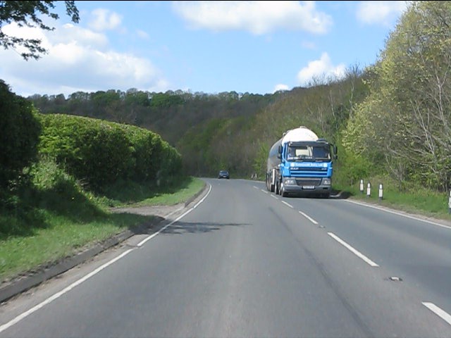
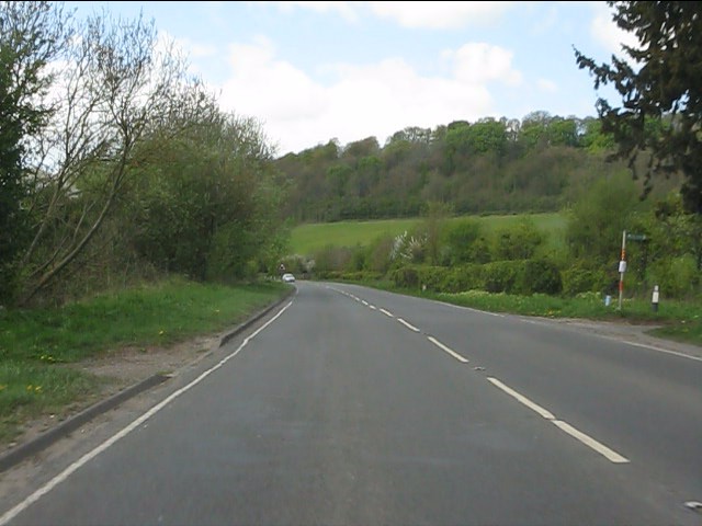
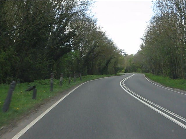
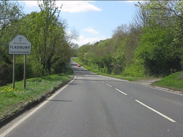
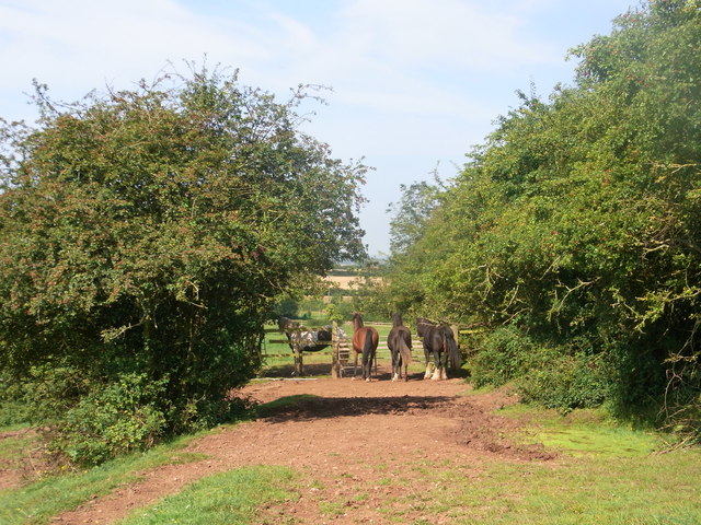
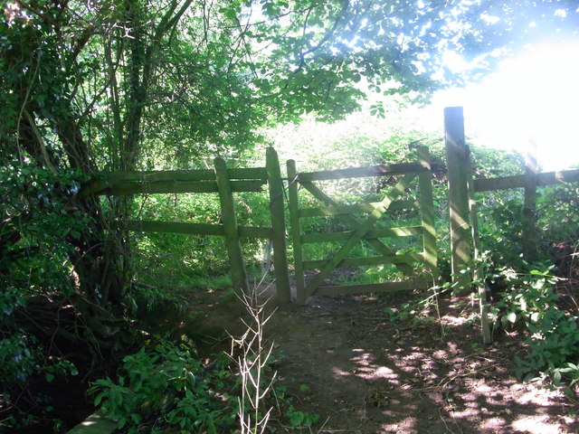
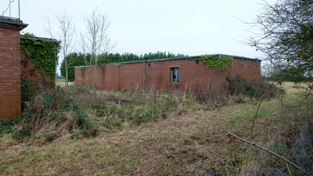
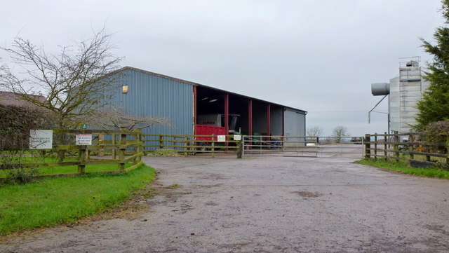
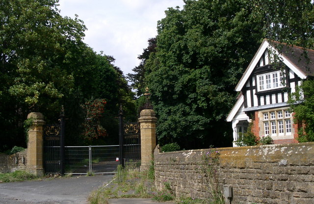
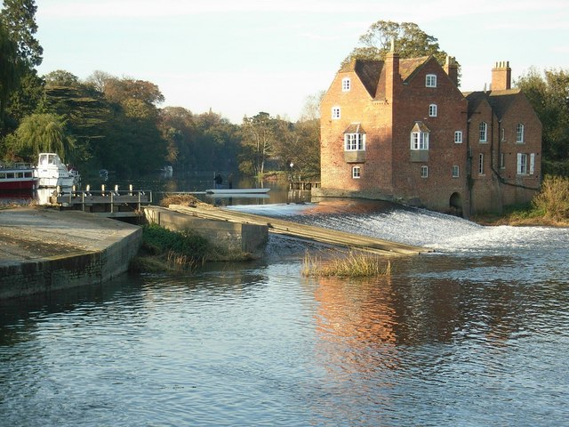
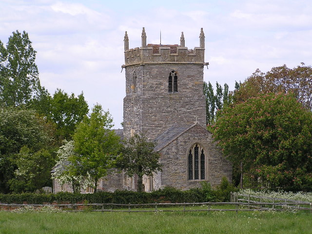
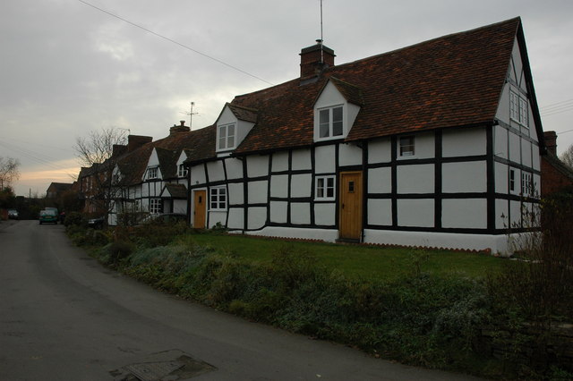
Badger's Hill Images

Images are sourced within 2km of 52.136356/-1.9925616 or Grid Reference SP0048. Thanks to Geograph Open Source API. All images are credited.

Drive to the Vale Golf and Country Club Looking east from the Bishampton to Evesham Road.
Drive to the Vale Golf and Country Club
Looking east from the Bishampton to Evesham Road.
Hillfurze Road Looking south towards Evesham.
Hillfurze Road
Looking south towards Evesham.
Bridleway onto The Vale Golf Course The path doesn't reach the Bishampton Bank in the distance but instead takes a 90-degree turn south to finish at Badger Hill.
Bridleway onto The Vale Golf Course
The path doesn't reach the Bishampton Bank in the distance but instead takes a 90-degree turn south to finish at Badger Hill.
Oilseed Rape in the Lenches This is square has no building within it, farmland and arable land predominate.
Oilseed Rape in the Lenches
This is square has no building within it, farmland and arable land predominate.
Bridleway near Vale Golf Club This bridleway runs parallel with Bishampton Bank to the south of Vale Golf Club.
Bridleway near Vale Golf Club
This bridleway runs parallel with Bishampton Bank to the south of Vale Golf Club.
Dandelions gone to seed Dandelions gone to seed beside a bridleway near the Vale Golf Club.
Dandelions gone to seed
Dandelions gone to seed beside a bridleway near the Vale Golf Club.
A44 west of Wood Norton
A44 at the access to Craycombe Hill
A44 south of Craycombe Hill
A44 entering Fladbury
Guardians of the gate Bridleway through the farm, no waymarks at all.
Guardians of the gate
Bridleway through the farm, no waymarks at all.
Bridleway gate almost hidden under the trees Right-of-way very little used and poorly marked (not at all).
Bridleway gate almost hidden under the trees
Right-of-way very little used and poorly marked (not at all).
Wychavon Way below Highclere View to the south with Bredon Hill in the distance.
Wychavon Way below Highclere
View to the south with Bredon Hill in the distance.
Footpath on the edge of Evesham Golf Course Former line of the Wychavon Way, now diverted further north via Machine Farm and Hill so avoiding having to walk a section alongside the busy A44.
Footpath on the edge of Evesham Golf Course
Former line of the Wychavon Way, now diverted further north via Machine Farm and Hill so avoiding having to walk a section alongside the busy A44.
Sheriff's Lench Lady and dog out for a walk on a mild January afternoon.
Sheriff's Lench
Lady and dog out for a walk on a mild January afternoon.
Disused property, Sheriff's Lench, 1 The disused buildings are north of the hamlet.
Disused property, Sheriff's Lench, 1
The disused buildings are north of the hamlet.
Disused property, Sheriff's Lench, 2 The disused buildings are north of the hamlet.
Possibly Ministry of Defence?
Disused property, Sheriff's Lench, 2
The disused buildings are north of the hamlet. Possibly Ministry of Defence?
Manor Farm, Sheriff's Lench Modern buildings; clean and tidy.
Manor Farm, Sheriff's Lench
Modern buildings; clean and tidy.
Show me another place!

Badger's Hill is located at Grid Ref: SP0048 (Lat: 52.136356, Lng: -1.9925616)

Administrative County: Worcestershire

District: Wychavon

Police Authority: West Mercia

What 3 Words

///touched.caveman.redouble. Near Harvington, Worcestershire

Related Wikis

Norton and Lenchwick

Norton and Lenchwick is a civil parish in the Wychavon district, in the county of Worcestershire, England. The parish population in 2021 was 1,056. The...

Wood Norton Hall

Wood Norton Hall is a Grade II* listed Victorian stately home to the northwest of Evesham, Worcestershire, England. It was the last home in England of...

Fladbury railway station

Fladbury railway station was a station in Fladbury, Worcestershire, England. The station was opened in 1854 and closed in 1966. == References == ��2�...

Ab Lench

Ab Lench is a village and former civil parish, now in the parish of South Lenches, in the Wychavon district, in the county of Worcestershire, England...

Fladbury

Fladbury is a traditional English village located in rural Worcestershire, England. The village was mentioned in the Domesday Book, almost 1,000 years...

Throckmorton, Worcestershire

Throckmorton is a small village and civil parish in the administrative district of Wychavon, in the county of Worcestershire, England. The village lies...

Hill and Moor

Hill and Moor is a civil parish in the Wychavon district of Worcestershire, England. It includes the village Lower Moor and the hamlets of Upper Moor...

Lower Moor

Lower Moor is a village between Wyre Piddle and Fladbury in the district of Wychavon in Worcestershire, England.

Nearby Amenities

Located within 500m of 52.136356,-1.9925616
Power: pole
Lat/Long: 52.1334653/-1.9971591
Hill Furze East
Power: pole
Transformer: distribution
Voltage Primary: 11000
Lat/Long: 52.1338644/-1.9960085
Power: pole
Lat/Long: 52.1376077/-1.986214
Power: pole
Lat/Long: 52.1377478/-1.9869957
Power: pole
Lat/Long: 52.138422/-1.9903338
Power: pole
Lat/Long: 52.1392033/-1.99308
Power: pole
Lat/Long: 52.1405307/-1.9938485
Power: pole
Lat/Long: 52.1380038/-1.9882152
Barrier: kissing_gate
Lat/Long: 52.133584/-1.9966778
Barrier: kissing_gate
Lat/Long: 52.1333832/-1.9960755
Barrier: kissing_gate
Lat/Long: 52.134533/-1.9982469
Badgers Hill North
Power: pole
Transformer: distribution
Voltage Primary: 11000
Lat/Long: 52.140292/-1.99002
Power: pole
Lat/Long: 52.1396852/-1.990007
Power: pole
Lat/Long: 52.139151/-1.9899978
Location Transition: yes
Power: pole
Lat/Long: 52.1386296/-1.9899955
The Bungalow
Power: pole
Transformer: distribution
Voltage Primary: 11000
Lat/Long: 52.1374726/-1.9868562
Power: pole
Lat/Long: 52.1377889/-1.9881808
Badgers Hill Top
Location Transition: yes
Power: pole
Transformer: distribution
Voltage Primary: 11000
Lat/Long: 52.1381598/-1.9897852
Power: pole
Lat/Long: 52.1376542/-1.9895405
Power: pole
Lat/Long: 52.1371755/-1.9893325
Badgers Hill
Power: pole
Transformer: distribution
Voltage Primary: 11000
Lat/Long: 52.1369807/-1.9896705
Power: pole
Lat/Long: 52.1364559/-1.9905163
Power: pole
Lat/Long: 52.1357471/-1.9916481
Power: pole
Lat/Long: 52.1339418/-1.9946895
Power: pole
Lat/Long: 52.1350937/-1.9927088
Power: pole
Lat/Long: 52.1344117/-1.9937718
Power: pole
Lat/Long: 52.1341596/-1.9942207
The data included in this document is from www.openstreetmap.org. The data is made available under ODbL.

Have you been to Badger's Hill?

Leave your review of Badger's Hill below (or comments, questions and feedback).