Badger's Hill

Settlement in Worcestershire Wychavon

England

Badger's Hill

Bridleway near Vale Golf Club This bridleway runs parallel with Bishampton Bank to the south of Vale Golf Club.
Bridleway near Vale Golf Club Credit: Philip Halling

Badger's Hill is a quaint and picturesque village located in Worcestershire, England. Nestled in the heart of the county, this idyllic rural settlement is surrounded by lush green fields, rolling hills, and is known for its stunning natural beauty.

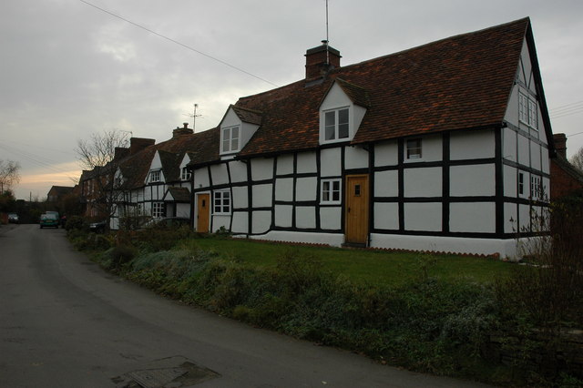
The village itself is small, with a population of around 500 residents. It is characterized by its charming thatched-roof cottages, traditional stone buildings, and well-manicured gardens that give it a timeless and serene atmosphere. The villagers take great pride in maintaining the village's historic appearance, which adds to its overall charm and appeal.

Badger's Hill is a haven for nature lovers and outdoor enthusiasts. The surrounding countryside offers numerous walking and cycling trails, allowing visitors to explore the area's unspoiled landscapes and enjoy breathtaking views. The village is also home to a small but thriving wildlife sanctuary, where visitors can spot various bird species, rabbits, and even the occasional badger.

Despite its small size, Badger's Hill boasts a strong sense of community spirit. The villagers often organize events and activities throughout the year, such as summer fairs, Christmas markets, and community picnics. These events bring residents together and create a warm and welcoming atmosphere that is highly valued by both locals and visitors alike.

In conclusion, Badger's Hill is a charming and picturesque village in Worcestershire, offering a peaceful retreat from the hustle and bustle of modern life. With its stunning natural landscapes, quaint architecture, and strong community spirit, it is a place that captures the hearts of all who visit.

If you have any feedback on the listing, please let us know in the comments section below.

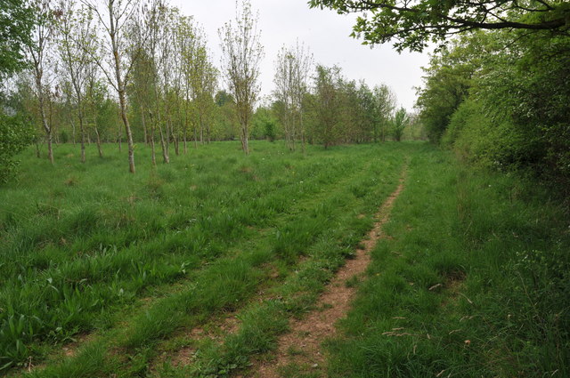
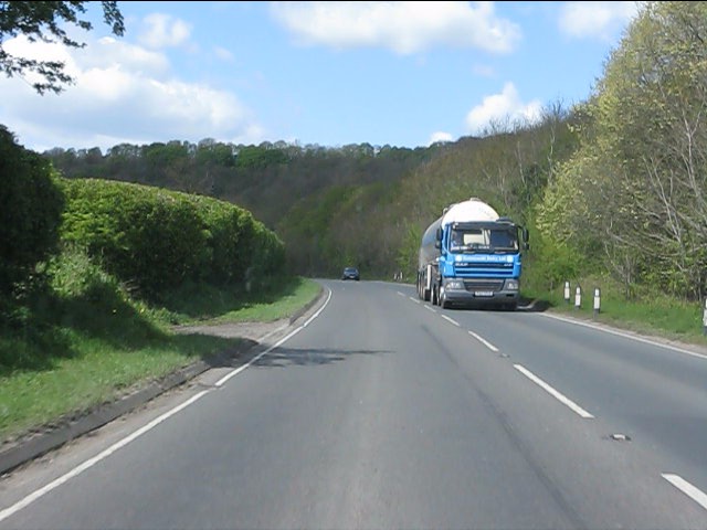
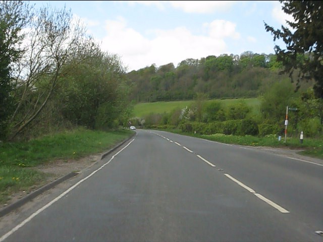
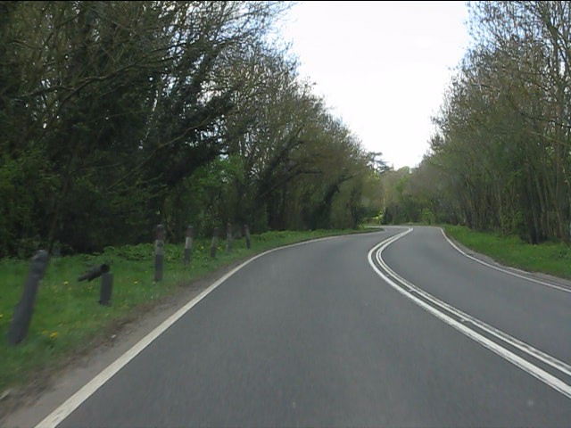
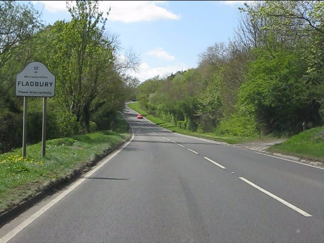
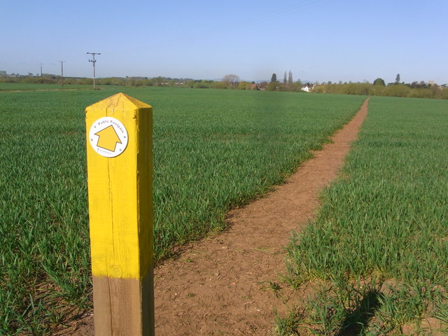
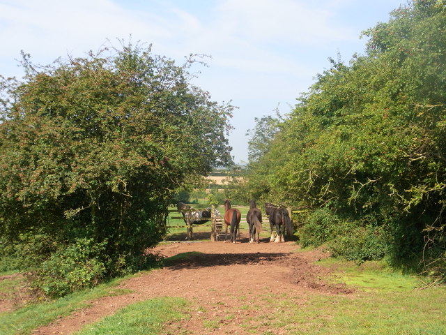
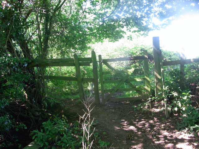
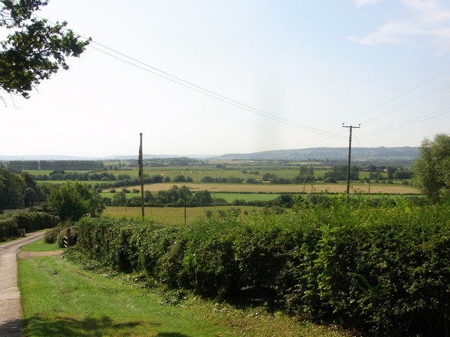
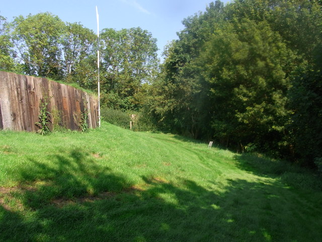
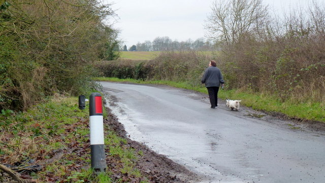
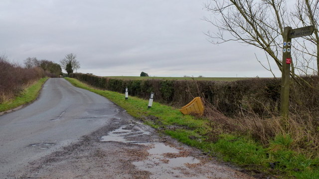
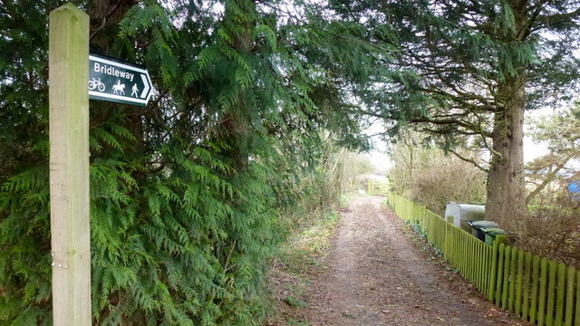
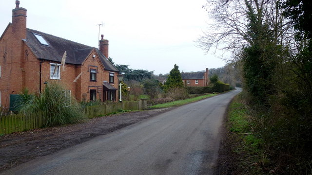
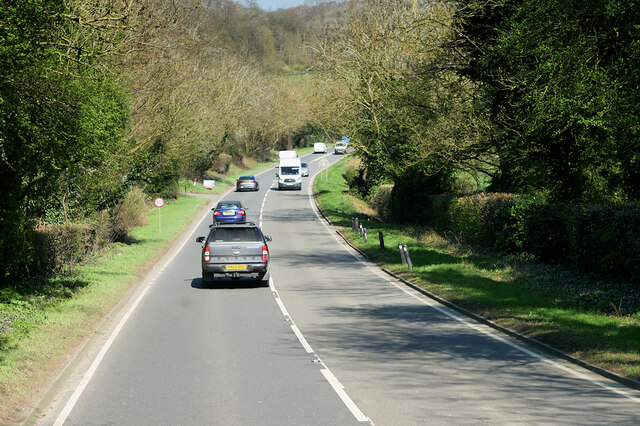
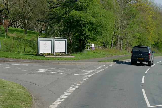
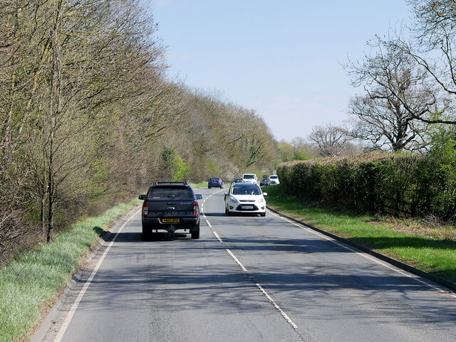
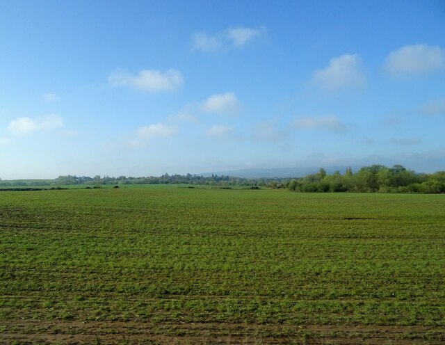
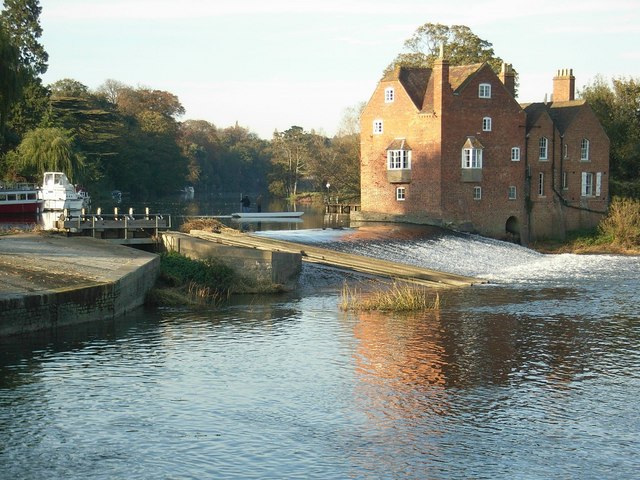
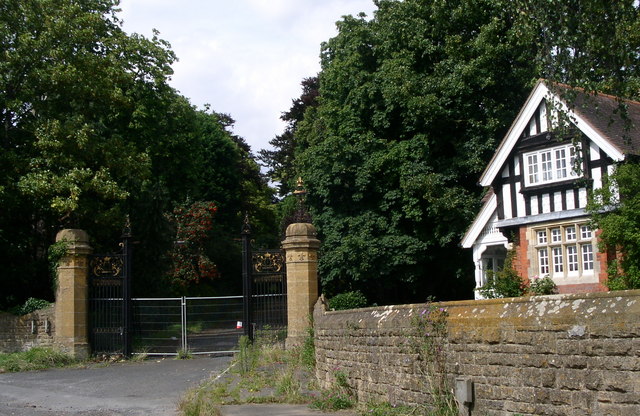
Badger's Hill Images

Images are sourced within 2km of 52.130305/-2.0014153 or Grid Reference SP0048. Thanks to Geograph Open Source API. All images are credited.

Bridleway near Vale Golf Club This bridleway runs parallel with Bishampton Bank to the south of Vale Golf Club.
Bridleway near Vale Golf Club
This bridleway runs parallel with Bishampton Bank to the south of Vale Golf Club.
A44 west of Wood Norton
A44 at the access to Craycombe Hill
A44 south of Craycombe Hill
A44 entering Fladbury
Through the crop towards Fladbury
Guardians of the gate Bridleway through the farm, no waymarks at all.
Guardians of the gate
Bridleway through the farm, no waymarks at all.
Bridleway gate almost hidden under the trees Right-of-way very little used and poorly marked (not at all).
Bridleway gate almost hidden under the trees
Right-of-way very little used and poorly marked (not at all).
Wychavon Way below Highclere View to the south with Bredon Hill in the distance.
Wychavon Way below Highclere
View to the south with Bredon Hill in the distance.
Footpath on the edge of Evesham Golf Course Former line of the Wychavon Way, now diverted further north via Machine Farm and Hill so avoiding having to walk a section alongside the busy A44.
Footpath on the edge of Evesham Golf Course
Former line of the Wychavon Way, now diverted further north via Machine Farm and Hill so avoiding having to walk a section alongside the busy A44.
Walking the dog The same lady and canine as in <a href="https://www.geograph.org.uk/photo/3280561">SP0149 : Sheriff's Lench</a> proceeding west along the lane towards Badger's Hill.
Walking the dog
The same lady and canine as in SP0149 : Sheriff's Lench proceeding west along the lane towards Badger's Hill.
Road to The Lenches The bridleway heading back over my right shoulder takes the public directly to the Evesham Road at Woodnorton Farm
Road to The Lenches
The bridleway heading back over my right shoulder takes the public directly to the Evesham Road at Woodnorton Farm
Bridleway at Hill Furze Heading north.
Bridleway at Hill Furze
Heading north.
Hill Furze Hamlet tucked into a fold of hills in East Worcestershire.
Hill Furze
Hamlet tucked into a fold of hills in East Worcestershire.
A44, Evesham Road The A44 is a major road in the United Kingdom that runs for 155 miles from Oxford in southern England to Aberystwyth in west Wales.
<span class="nowrap"><a title="http://www.sabre-roads.org.uk/wiki/index.php?title=A44" rel="nofollow ugc noopener" href="http://www.sabre-roads.org.uk/wiki/index.php?title=A44">Link</a><img style="margin-left:2px;" alt="External link" title="External link - shift click to open in new window" src="https://s1.geograph.org.uk/img/external.png" width="10" height="10"/></span>  SABRE
<span class="nowrap"><a title="https://en.wikipedia.org/wiki/A44_road" rel="nofollow ugc noopener" href="https://en.wikipedia.org/wiki/A44_road">Link</a><img style="margin-left:2px;" alt="External link" title="External link - shift click to open in new window" src="https://s1.geograph.org.uk/img/external.png" width="10" height="10"/></span>  Wikipedia
A44, Evesham Road
The A44 is a major road in the United Kingdom that runs for 155 miles from Oxford in southern England to Aberystwyth in west Wales. LinkExternal link SABRE LinkExternal link Wikipedia
A44 passing Wood Norton Hall The A44 is a major road in the United Kingdom that runs for 155 miles from Oxford in southern England to Aberystwyth in west Wales.
<span class="nowrap"><a title="http://www.sabre-roads.org.uk/wiki/index.php?title=A44" rel="nofollow ugc noopener" href="http://www.sabre-roads.org.uk/wiki/index.php?title=A44">Link</a><img style="margin-left:2px;" alt="External link" title="External link - shift click to open in new window" src="https://s1.geograph.org.uk/img/external.png" width="10" height="10"/></span>  SABRE
<span class="nowrap"><a title="https://en.wikipedia.org/wiki/A44_road" rel="nofollow ugc noopener" href="https://en.wikipedia.org/wiki/A44_road">Link</a><img style="margin-left:2px;" alt="External link" title="External link - shift click to open in new window" src="https://s1.geograph.org.uk/img/external.png" width="10" height="10"/></span>  Wikipedia
A44 passing Wood Norton Hall
The A44 is a major road in the United Kingdom that runs for 155 miles from Oxford in southern England to Aberystwyth in west Wales. LinkExternal link SABRE LinkExternal link Wikipedia
A44, Evesham Road
A44, Evesham Road
Crop field near Fladbury
Show me another place!

Badger's Hill is located at Grid Ref: SP0048 (Lat: 52.130305, Lng: -2.0014153)

Administrative County: Worcestershire

District: Wychavon

Police Authority: West Mercia

What 3 Words

///flattery.judge.spit. Near Harvington, Worcestershire

Related Wikis

Norton and Lenchwick

Norton and Lenchwick is a civil parish in the Wychavon district, in the county of Worcestershire, England. The parish population in 2021 was 1,056. The...

Fladbury railway station

Fladbury railway station was a station in Fladbury, Worcestershire, England. The station was opened in 1854 and closed in 1966. == References == ��2�...

Fladbury

Fladbury is a traditional English village located in rural Worcestershire, England. The village was mentioned in the Domesday Book, almost 1,000 years...

Wood Norton Hall

Wood Norton Hall is a Grade II* listed Victorian stately home to the northwest of Evesham, Worcestershire, England. It was the last home in England of...

Hill and Moor

Hill and Moor is a civil parish in the Wychavon district of Worcestershire, England. It includes the village Lower Moor and the hamlets of Upper Moor...

Lower Moor

Lower Moor is a village between Wyre Piddle and Fladbury in the district of Wychavon in Worcestershire, England.

Throckmorton, Worcestershire

Throckmorton is a small village and civil parish in the administrative district of Wychavon, in the county of Worcestershire, England. The village lies...

Charlton, Worcestershire

Charlton is a village in the Wychavon district of the county of Worcestershire, England. During the 2007 United Kingdom floods, many homes were affected...

Nearby Amenities

Located within 500m of 52.130305,-2.0014153
Power: pole
Lat/Long: 52.1293593/-2.0085148
Power: pole
Lat/Long: 52.1309186/-2.0078735
Power: pole
Lat/Long: 52.1310668/-2.0067267
Power: pole
Lat/Long: 52.1312095/-2.0057061
Power: pole
Lat/Long: 52.1313431/-2.0047371
Power: pole
Lat/Long: 52.1315125/-2.0041321
Power: pole
Lat/Long: 52.1318404/-2.0029424
Power: pole
Lat/Long: 52.1321689/-2.0017772
Post Box
Collection Times: Mo-Fr 09:00; Sa 07:00
Historic Operator: Post Office
Manufacturer: Abbot Engineering
Operator: Royal Mail
Post Box Type: lamp
Ref: WR11 228D
Royal Cypher: EIIR
Royal Cypher Wikidata: Q33102113
Source: survey;gps;bing
Source Ref: dracos;Royal Mail
Lat/Long: 52.1323172/-2.0067517
Power: pole
Lat/Long: 52.1324902/-2.0006254
Power: pole
Lat/Long: 52.1328188/-1.9994144
Power: pole
Lat/Long: 52.133135/-1.9982827
Power: pole
Lat/Long: 52.1334653/-1.9971591
Barrier: kissing_gate
Lat/Long: 52.133584/-1.9966778
Barrier: kissing_gate
Lat/Long: 52.1333832/-1.9960755
Machine Farm
Power: pole
Transformer: distribution
Voltage Primary: 11000
Lat/Long: 52.1301981/-2.0027231
Power: pole
Lat/Long: 52.1307685/-2.0033318
Hill Furze West
Power: pole
Transformer: distribution
Voltage Primary: 11000
Lat/Long: 52.1324979/-2.0051963
Power: pole
Lat/Long: 52.132005/-2.0046487
Power: pole
Lat/Long: 52.1301662/-2.0081424
The data included in this document is from www.openstreetmap.org. The data is made available under ODbL.

Have you been to Badger's Hill?

Leave your review of Badger's Hill below (or comments, questions and feedback).