Hill Furze

Settlement in Worcestershire Wychavon

England

Hill Furze

Hillfurze Road Looking south towards Evesham.
Hillfurze Road Credit: Jonathan Billinger

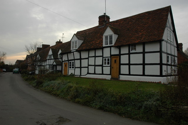
Hill Furze is a small village located in the county of Worcestershire, England. Situated just a few miles southeast of the city of Worcester, Hill Furze is nestled in the picturesque countryside of the West Midlands region. With a population of around 200 residents, it is a tight-knit community known for its tranquility and rural charm.

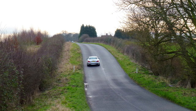
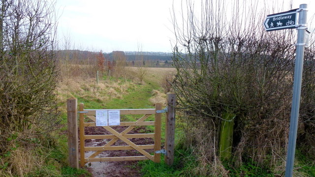
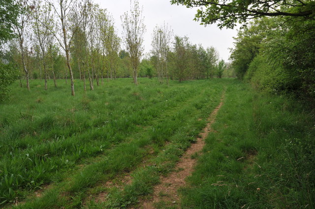
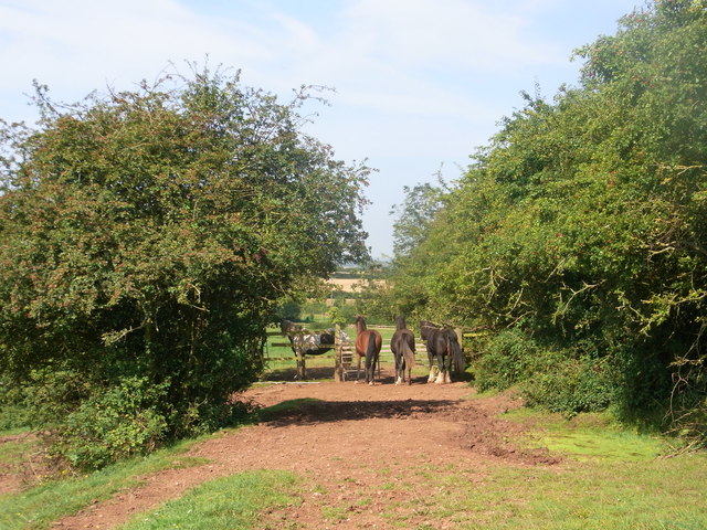
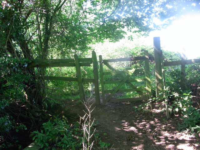
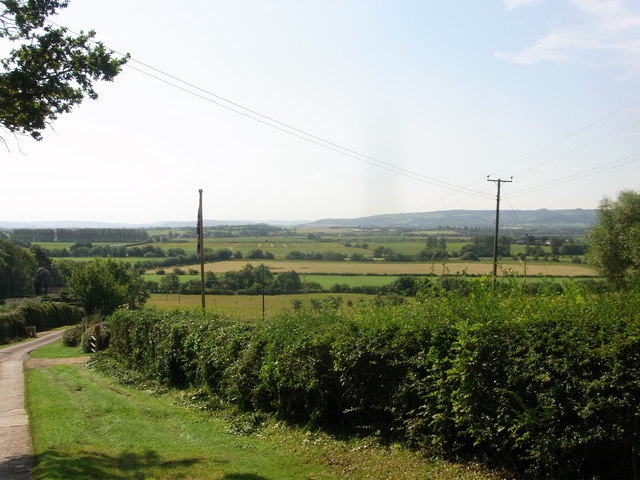
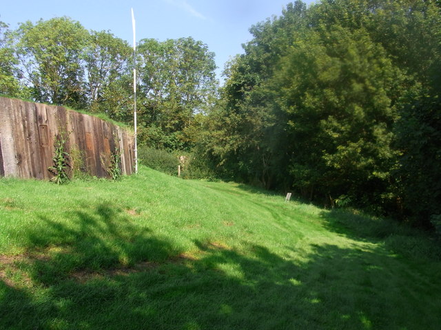
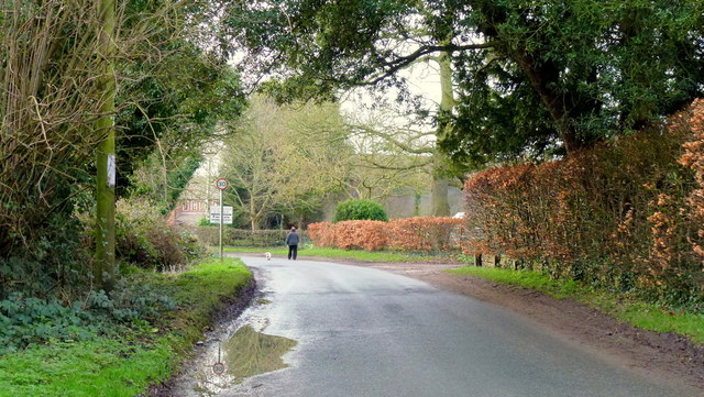
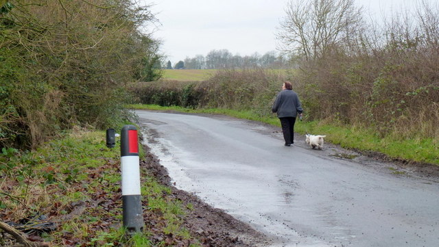
The village is surrounded by rolling hills and lush green fields, offering breathtaking views of the Worcestershire countryside. It is an ideal location for nature lovers and those seeking a peaceful retreat from the hustle and bustle of city life. The nearby Claines Brook meanders through the area, providing a serene setting for leisurely walks and picnics.

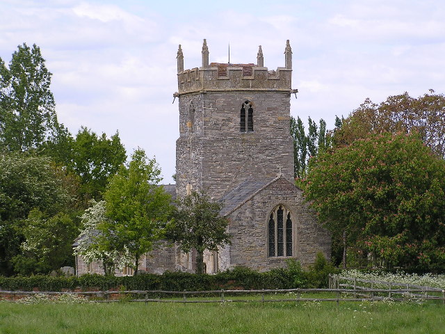
In terms of amenities, Hill Furze is relatively small, with a local pub being the central hub of social activity. The village also boasts a church, St. John the Baptist, which dates back to the 12th century and adds to the historical character of the area.

Despite its rural setting, Hill Furze benefits from its proximity to Worcester, which offers a wider range of amenities, including shopping centers, restaurants, and cultural attractions. The village is well-connected by road, and the Worcester Foregate Street railway station is just a short drive away, providing convenient access to major cities such as Birmingham and London.

Overall, Hill Furze is a charming village that offers a peaceful and idyllic lifestyle, with the added convenience of nearby urban amenities.

If you have any feedback on the listing, please let us know in the comments section below.
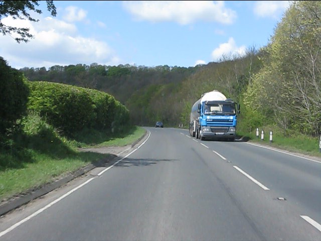
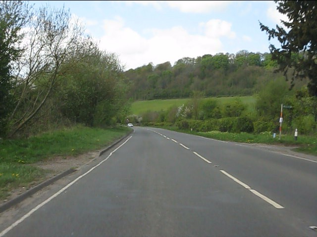
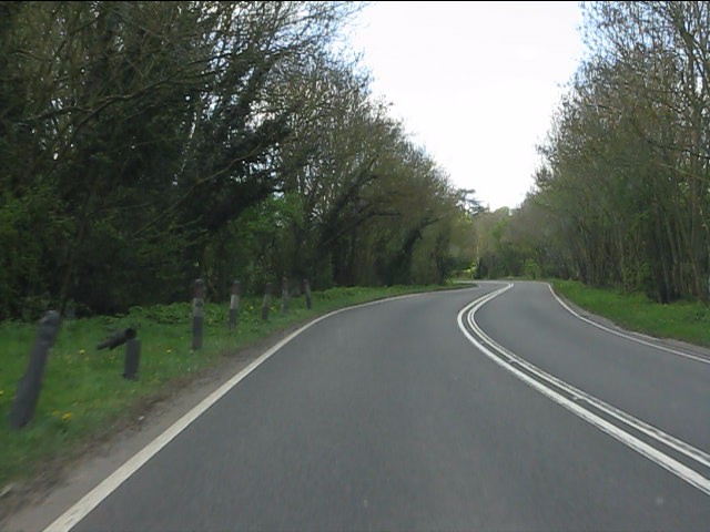
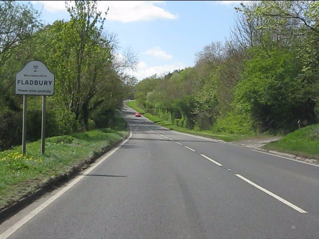
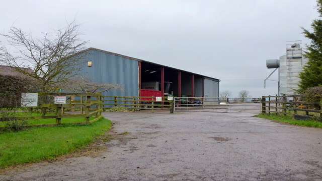
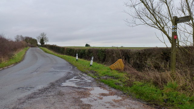
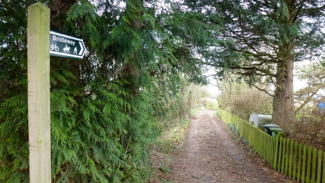
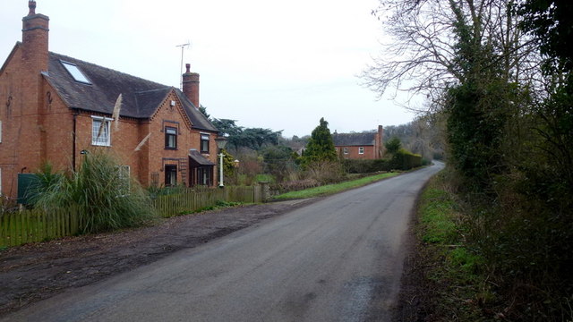
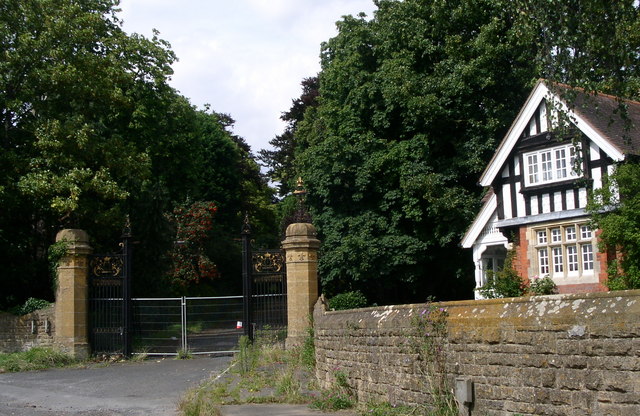
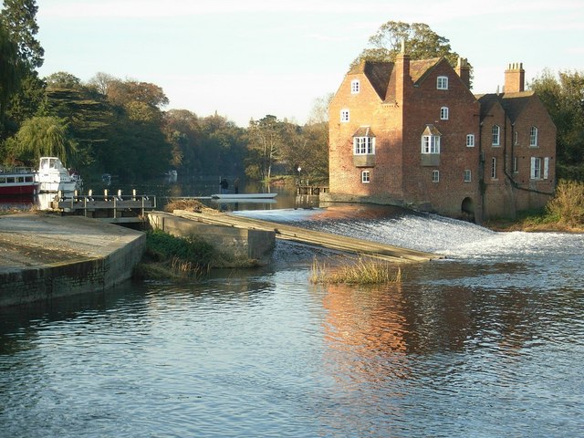
Hill Furze Images

Images are sourced within 2km of 52.134063/-1.9960537 or Grid Reference SP0048. Thanks to Geograph Open Source API. All images are credited.

Hillfurze Road Looking south towards Evesham.
Hillfurze Road
Looking south towards Evesham.
Bridleway onto The Vale Golf Course The path doesn't reach the Bishampton Bank in the distance but instead takes a 90-degree turn south to finish at Badger Hill.
Bridleway onto The Vale Golf Course
The path doesn't reach the Bishampton Bank in the distance but instead takes a 90-degree turn south to finish at Badger Hill.
Bridleway near Vale Golf Club This bridleway runs parallel with Bishampton Bank to the south of Vale Golf Club.
Bridleway near Vale Golf Club
This bridleway runs parallel with Bishampton Bank to the south of Vale Golf Club.
Dandelions gone to seed Dandelions gone to seed beside a bridleway near the Vale Golf Club.
Dandelions gone to seed
Dandelions gone to seed beside a bridleway near the Vale Golf Club.
A44 west of Wood Norton
A44 at the access to Craycombe Hill
A44 south of Craycombe Hill
A44 entering Fladbury
Guardians of the gate Bridleway through the farm, no waymarks at all.
Guardians of the gate
Bridleway through the farm, no waymarks at all.
Bridleway gate almost hidden under the trees Right-of-way very little used and poorly marked (not at all).
Bridleway gate almost hidden under the trees
Right-of-way very little used and poorly marked (not at all).
Wychavon Way below Highclere View to the south with Bredon Hill in the distance.
Wychavon Way below Highclere
View to the south with Bredon Hill in the distance.
Footpath on the edge of Evesham Golf Course Former line of the Wychavon Way, now diverted further north via Machine Farm and Hill so avoiding having to walk a section alongside the busy A44.
Footpath on the edge of Evesham Golf Course
Former line of the Wychavon Way, now diverted further north via Machine Farm and Hill so avoiding having to walk a section alongside the busy A44.
Sheriff's Lench Lady and dog out for a walk on a mild January afternoon.
Sheriff's Lench
Lady and dog out for a walk on a mild January afternoon.
Manor Farm, Sheriff's Lench Modern buildings; clean and tidy.
Manor Farm, Sheriff's Lench
Modern buildings; clean and tidy.
Walking the dog The same lady and canine as in <a href="https://www.geograph.org.uk/photo/3280561">SP0149 : Sheriff's Lench</a> proceeding west along the lane towards Badger's Hill.
Walking the dog
The same lady and canine as in SP0149 : Sheriff's Lench proceeding west along the lane towards Badger's Hill.
Road to The Lenches The bridleway heading back over my right shoulder takes the public directly to the Evesham Road at Woodnorton Farm
Road to The Lenches
The bridleway heading back over my right shoulder takes the public directly to the Evesham Road at Woodnorton Farm
Bridleway at Hill Furze Heading north.
Bridleway at Hill Furze
Heading north.
Hill Furze Hamlet tucked into a fold of hills in East Worcestershire.
Hill Furze
Hamlet tucked into a fold of hills in East Worcestershire.
Show me another place!

Hill Furze is located at Grid Ref: SP0048 (Lat: 52.134063, Lng: -1.9960537)

Administrative County: Worcestershire

District: Wychavon

Police Authority: West Mercia

What 3 Words

///spectacle.earplugs.acre. Near Harvington, Worcestershire

Related Wikis

Norton and Lenchwick

Norton and Lenchwick is a civil parish in the Wychavon district, in the county of Worcestershire, England. The parish population in 2021 was 1,056. The...

Wood Norton Hall

Wood Norton Hall is a Grade II* listed Victorian stately home to the northwest of Evesham, Worcestershire, England. It was the last home in England of...

Fladbury railway station

Fladbury railway station was a station in Fladbury, Worcestershire, England. The station was opened in 1854 and closed in 1966. == References == ��2�...

Fladbury

Fladbury is a traditional English village located in rural Worcestershire, England. The village was mentioned in the Domesday Book, almost 1,000 years...

Throckmorton, Worcestershire

Throckmorton is a small village and civil parish in the administrative district of Wychavon, in the county of Worcestershire, England. The village lies...

Hill and Moor

Hill and Moor is a civil parish in the Wychavon district of Worcestershire, England. It includes the village Lower Moor and the hamlets of Upper Moor...

Ab Lench

Ab Lench is a village and former civil parish, now in the parish of South Lenches, in the Wychavon district, in the county of Worcestershire, England...

Lower Moor

Lower Moor is a village between Wyre Piddle and Fladbury in the district of Wychavon in Worcestershire, England.

Nearby Amenities

Located within 500m of 52.134063,-1.9960537
Power: pole
Lat/Long: 52.1321689/-2.0017772
Power: pole
Lat/Long: 52.1324902/-2.0006254
Power: pole
Lat/Long: 52.1328188/-1.9994144
Power: pole
Lat/Long: 52.133135/-1.9982827
Power: pole
Lat/Long: 52.1334653/-1.9971591
Hill Furze East
Power: pole
Transformer: distribution
Voltage Primary: 11000
Lat/Long: 52.1338644/-1.9960085
Barrier: kissing_gate
Lat/Long: 52.133584/-1.9966778
Barrier: kissing_gate
Lat/Long: 52.1333832/-1.9960755
Barrier: kissing_gate
Lat/Long: 52.134533/-1.9982469
Power: pole
Lat/Long: 52.1364559/-1.9905163
Power: pole
Lat/Long: 52.1357471/-1.9916481
Power: pole
Lat/Long: 52.1339418/-1.9946895
Power: pole
Lat/Long: 52.1350937/-1.9927088
Power: pole
Lat/Long: 52.1344117/-1.9937718
Power: pole
Lat/Long: 52.1341596/-1.9942207
The data included in this document is from www.openstreetmap.org. The data is made available under ODbL.

Have you been to Hill Furze?

Leave your review of Hill Furze below (or comments, questions and feedback).