Badger Street
Settlement in Somerset Somerset West and Taunton
England
Badger Street
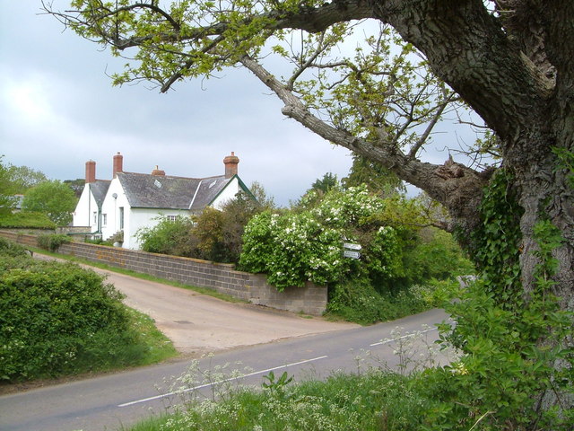
Badger Street is a charming residential street located in the picturesque county of Somerset, in the southwest of England. Nestled in the heart of the countryside, this quaint and peaceful street offers a serene living environment for its residents.
The street is lined with a mixture of traditional cottages and more modern houses, each exuding its own unique character. The well-maintained gardens and colorful flower beds that adorn the front of the properties add to the overall charm and beauty of the street.
Badger Street benefits from its close proximity to the nearby town center, which is just a short walk away. Here, residents can find a range of amenities including shops, cafes, and restaurants, providing all the essentials for everyday living.
Nature lovers will be delighted to discover the abundance of green spaces surrounding Badger Street. The street is within easy reach of several parks and nature reserves, offering residents the perfect opportunity to enjoy leisurely walks and picnics in the great outdoors.
Transport links in Badger Street are excellent, with regular bus services connecting the street to neighboring towns and villages. The closest train station is just a few miles away, providing easy access to larger cities such as Bristol and Bath.
Overall, Badger Street is a delightful place to live, offering a peaceful and idyllic lifestyle surrounded by natural beauty, yet with convenient access to nearby amenities and transport links.
If you have any feedback on the listing, please let us know in the comments section below.
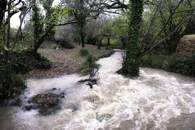
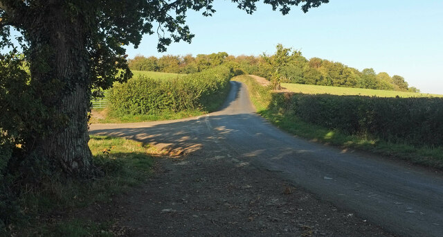
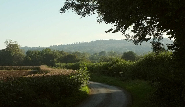
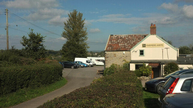
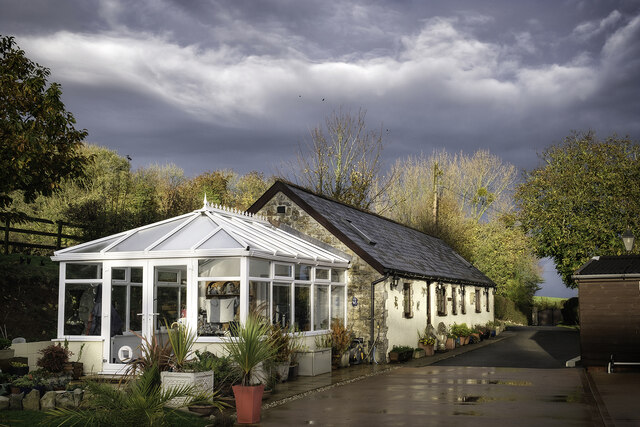
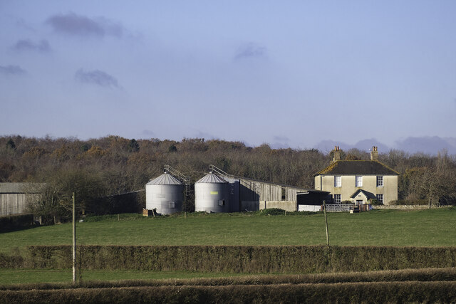
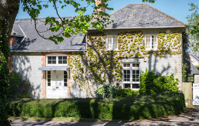
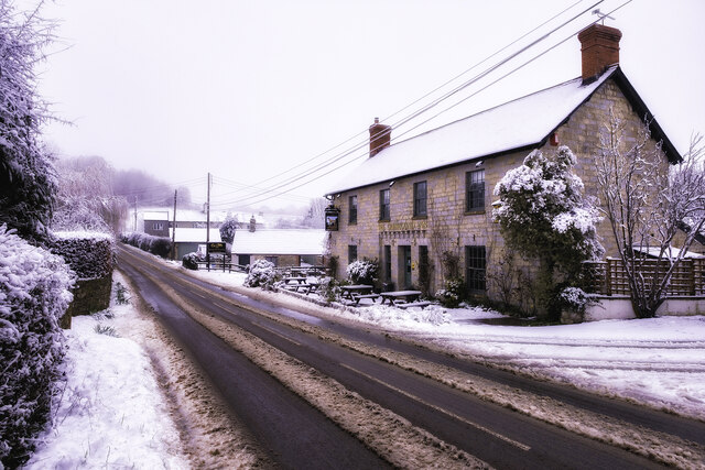
Badger Street Images
Images are sourced within 2km of 50.972537/-3.052656 or Grid Reference ST2619. Thanks to Geograph Open Source API. All images are credited.


Badger Street is located at Grid Ref: ST2619 (Lat: 50.972537, Lng: -3.052656)
Administrative County: Somerset
District: Somerset West and Taunton
Police Authority: Avon and Somerset
What 3 Words
///hides.superbly.costumed. Near Taunton, Somerset
Nearby Locations
Related Wikis

Staple Fitzpaine
Staple Fitzpaine is a village and civil parish in Somerset, England, situated 5 miles (8.0 km) south of Taunton. The village has a population of 189 and...
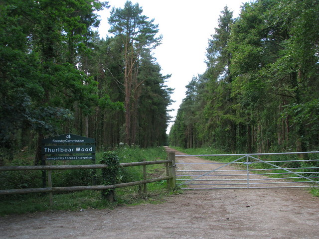
Thurlbear Wood and Quarrylands
Thurlbear Wood and Quarrylands (grid reference ST270210) is a 26.7 hectare (65.8 acre) biological Site of Special Scientific Interest south of Stoke St...

William Portman Almshouses
The William Portman Almshouses in Staple Fitzpaine, Somerset, England was built in 1643. It is a Grade II* listed building. == History == The almshouses...

Bickenhall
Bickenhall is a hamlet and parish in Somerset, England, situated 5 miles (8.0 km) south east of Taunton. The parish, which includes the hamlet of Batten...
Orchard Portman
Orchard Portman is a village and civil parish in Somerset, England, situated 2 miles (3.2 km) south of Taunton. The village has a population of 150.The...
Stoke St Mary
Stoke St Mary is a village and civil parish in Somerset, England, situated 2 miles (3.2 km) south east of Taunton. == History == The earliest recorded...
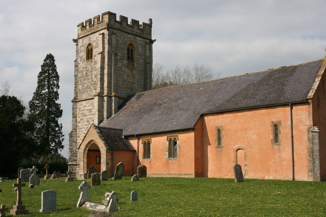
Church of St Mary, Stoke St Mary
The Anglican Church of St Mary in Stoke St Mary, Somerset, England was built in the 13th century. It is a Grade II* listed building. == History == The...
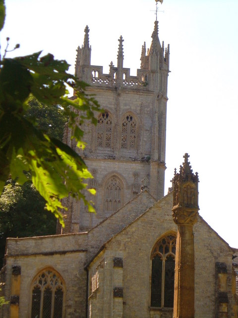
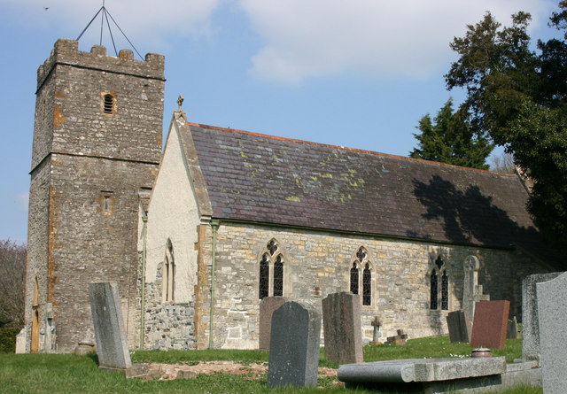
Church of St Thomas, Thurlbear
The Church of St Thomas in the village of Thurlbear, which is in the parish of Orchard Portman, Somerset, England, dates from the 12th century. It has...
Nearby Amenities
Located within 500m of 50.972537,-3.052656Have you been to Badger Street?
Leave your review of Badger Street below (or comments, questions and feedback).