Badgers Mount

Settlement in Kent Sevenoaks

England

Badgers Mount

Shoreham Cross Seen from the steep footpath up to Meenfield Wood.
Shoreham Cross Credit: Trevor Harris

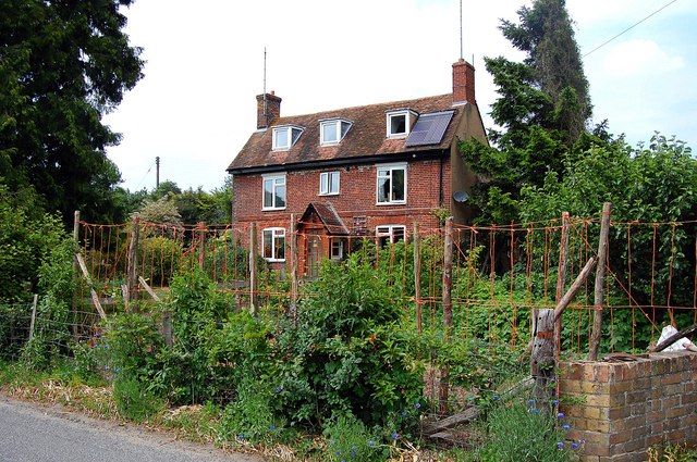
Badgers Mount is a small village located in the Sevenoaks District of the county of Kent, England. Situated on the southeastern edge of Greater London, it is nestled between the towns of Orpington and Sevenoaks. The village is primarily residential and is known for its picturesque countryside surroundings.

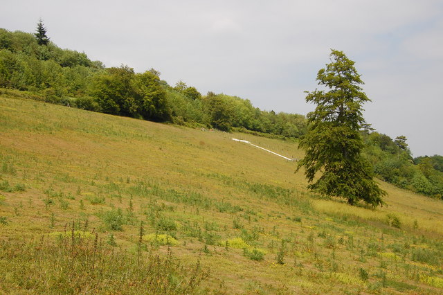
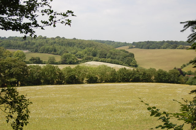
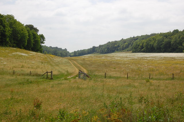
Badgers Mount is characterized by its quaint and peaceful atmosphere, making it an ideal place for those seeking a tranquil living environment. The village is surrounded by green fields and woodlands, offering residents stunning views and opportunities for outdoor activities such as hiking and walking.

The village itself is relatively small, with a few local amenities including a pub, a primary school, and a village hall. For a wider range of amenities and services, residents can easily access nearby towns and villages. The village also benefits from good transport links, with the M25 motorway and several major A-roads within close proximity, providing easy access to London and other parts of Kent.

Badgers Mount is also known for its proximity to popular attractions and landmarks. The nearby Knole Park, a renowned deer park and historic house, offers residents the chance to explore its stunning grounds and enjoy its rich history. Additionally, the nearby National Trust property of Chartwell, the former home of Sir Winston Churchill, is a popular destination for history enthusiasts.

Overall, Badgers Mount is a charming village that offers residents a peaceful and idyllic countryside lifestyle while still providing easy access to larger towns and cities.

If you have any feedback on the listing, please let us know in the comments section below.

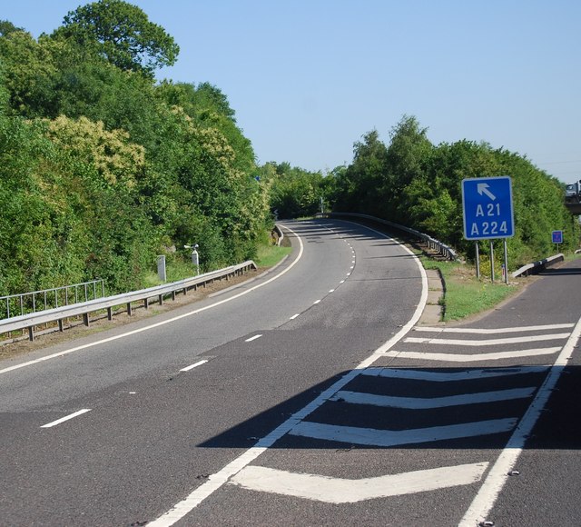
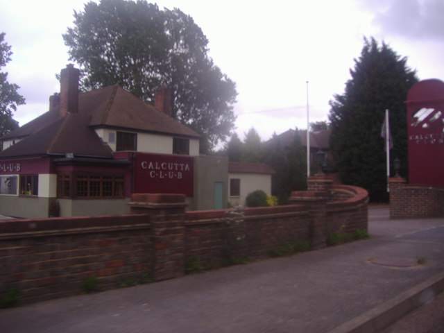
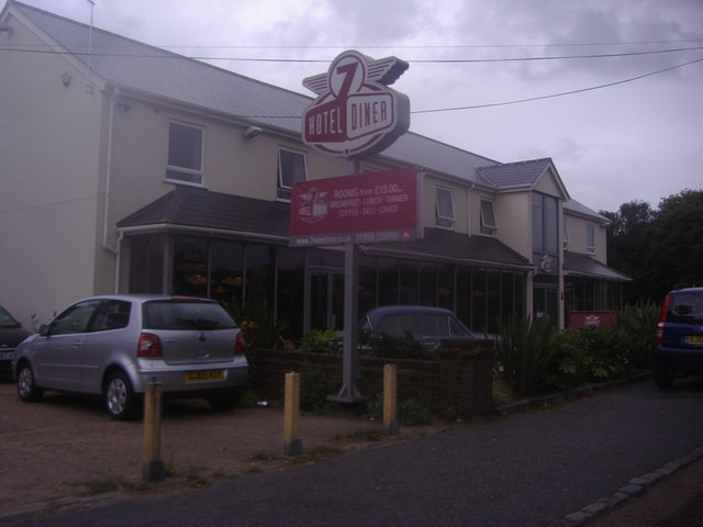
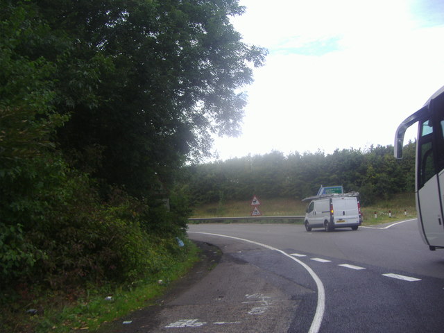
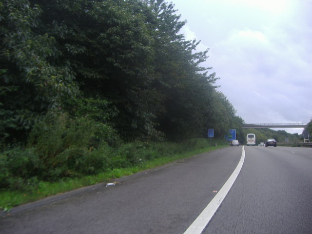
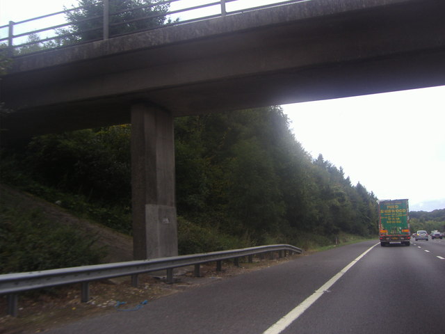
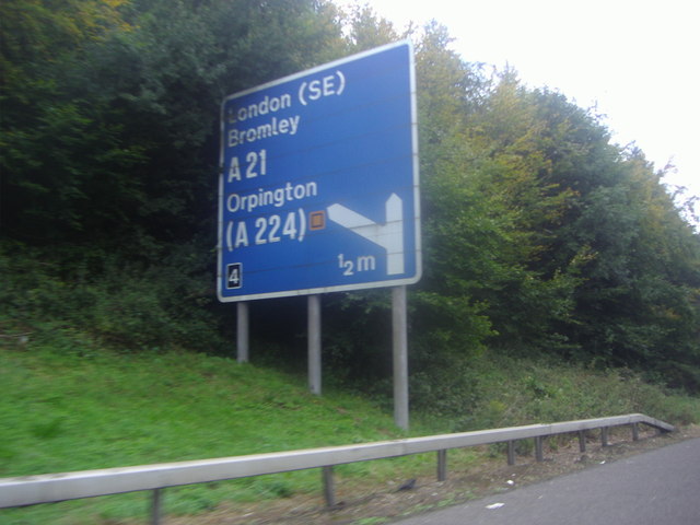
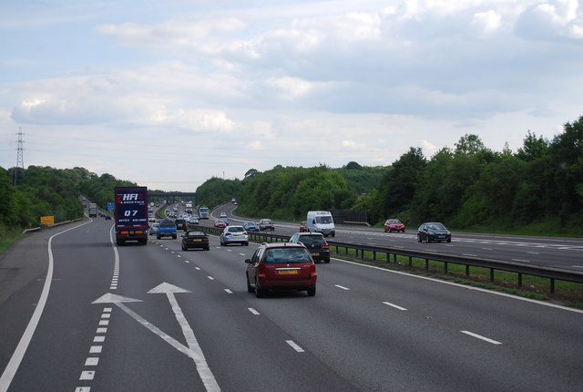
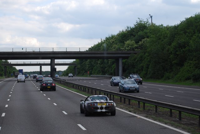
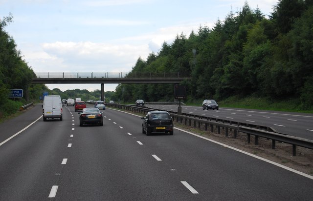
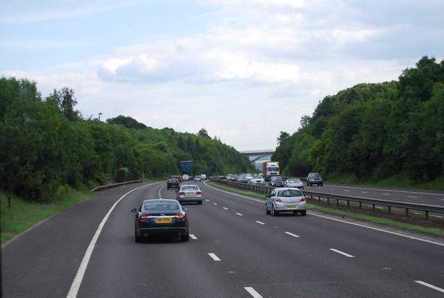
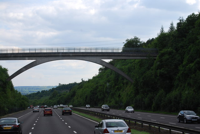
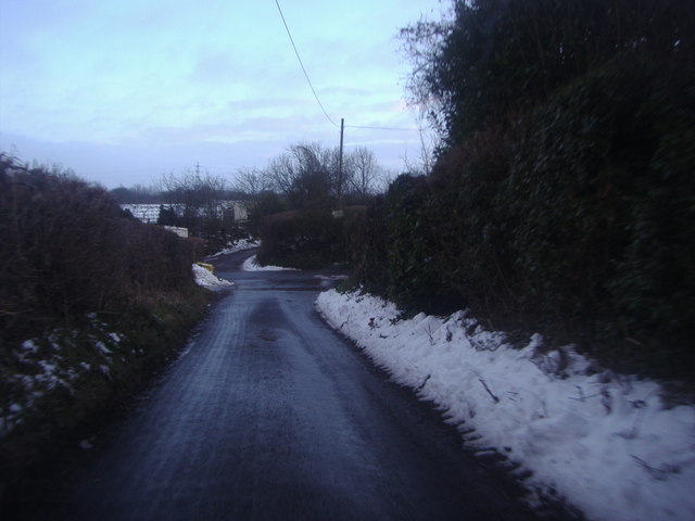
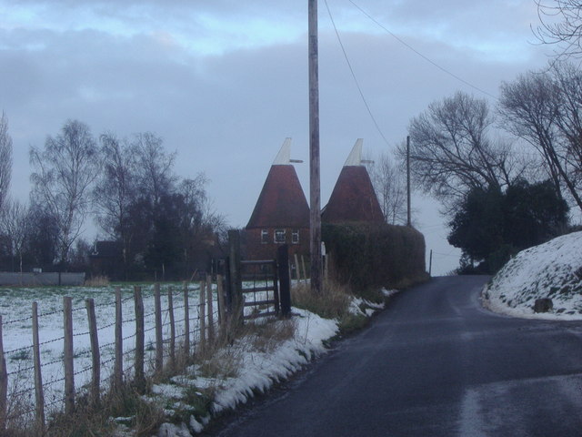
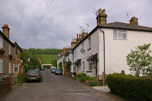
Badgers Mount Images

Images are sourced within 2km of 51.338489/0.148195 or Grid Reference TQ4962. Thanks to Geograph Open Source API. All images are credited.

Shoreham Cross Seen from the steep footpath up to Meenfield Wood.
Shoreham Cross
Seen from the steep footpath up to Meenfield Wood.
View from Meenfield Wood Emerging from Meenfield Wood towards Timberden Bottom, the pasture studded with white daisies.
View from Meenfield Wood
Emerging from Meenfield Wood towards Timberden Bottom, the pasture studded with white daisies.
Valley View Taken from the point where the footpath meets Shacklands Road at Timberden Bottom.
Hard to believe how close is the M25.
Valley View
Taken from the point where the footpath meets Shacklands Road at Timberden Bottom. Hard to believe how close is the M25.
Timberden Farm There should be a good crop of beans in the front garden later in the year.
Timberden Farm
There should be a good crop of beans in the front garden later in the year.
Junction 4, M25 The M25 is a 117 mile orbital motorway that encircles London. It was constructed between 1975 and 1986.
The motorway is not a continuous loop as a section to the East of London at The Dartford Crossing is an A-Road.
Wikipedia; <span class="nowrap"><a title="http://en.wikipedia.org/wiki/M25_motorway" rel="nofollow ugc noopener" href="http://en.wikipedia.org/wiki/M25_motorway">Link</a><img style="margin-left:2px;" alt="External link" title="External link - shift click to open in new window" src="https://s1.geograph.org.uk/img/external.png" width="10" height="10"/></span>
Junction 4, M25
The M25 is a 117 mile orbital motorway that encircles London. It was constructed between 1975 and 1986. The motorway is not a continuous loop as a section to the East of London at The Dartford Crossing is an A-Road. Wikipedia; LinkExternal link
The Calcutta Club, London Road Halstead
7 Hotel and Diner, London Road Halstead This seems to have been built within the last year or so before I took it in 2011
7 Hotel and Diner, London Road Halstead
This seems to have been built within the last year or so before I took it in 2011
Exit 4 roundabout on the M25 Leading to Badgers Mount on the left turnoff
Exit 4 roundabout on the M25
Leading to Badgers Mount on the left turnoff
The M25 sliproad to Badgers Mount
Footbridge over the M25, Badgers Mount
Sign for the junction 4 exit on the M25
Junction 4, M25 The M25 is a 117 mile orbital motorway that encircles London. It was constructed between 1975 and 1986.
The motorway is not a continuous loop as a section to the East of London at The Dartford Crossing is an A-Road.
Wikipedia; <span class="nowrap"><a title="http://en.wikipedia.org/wiki/M25_motorway" rel="nofollow ugc noopener" href="http://en.wikipedia.org/wiki/M25_motorway">Link</a><img style="margin-left:2px;" alt="External link" title="External link - shift click to open in new window" src="https://s1.geograph.org.uk/img/external.png" width="10" height="10"/></span>
Junction 4, M25
The M25 is a 117 mile orbital motorway that encircles London. It was constructed between 1975 and 1986. The motorway is not a continuous loop as a section to the East of London at The Dartford Crossing is an A-Road. Wikipedia; LinkExternal link
Footbridge over the M25 The M25 is a 117 mile orbital motorway that encircles London. It was constructed between 1975 and 1986.
The motorway is not a continuous loop as a section to the East of London at The Dartford Crossing is an A-Road.
Wikipedia; <span class="nowrap"><a title="http://en.wikipedia.org/wiki/M25_motorway" rel="nofollow ugc noopener" href="http://en.wikipedia.org/wiki/M25_motorway">Link</a><img style="margin-left:2px;" alt="External link" title="External link - shift click to open in new window" src="https://s1.geograph.org.uk/img/external.png" width="10" height="10"/></span>
Footbridge over the M25
The M25 is a 117 mile orbital motorway that encircles London. It was constructed between 1975 and 1986. The motorway is not a continuous loop as a section to the East of London at The Dartford Crossing is an A-Road. Wikipedia; LinkExternal link
M25 heading south The M25 is a 117 mile orbital motorway that encircles London. It was constructed between 1975 and 1986.
The motorway is not a continuous loop as a section to the East of London at The Dartford Crossing is an A-Road.
Wikipedia; <span class="nowrap"><a title="http://en.wikipedia.org/wiki/M25_motorway" rel="nofollow ugc noopener" href="http://en.wikipedia.org/wiki/M25_motorway">Link</a><img style="margin-left:2px;" alt="External link" title="External link - shift click to open in new window" src="https://s1.geograph.org.uk/img/external.png" width="10" height="10"/></span>
M25 heading south
The M25 is a 117 mile orbital motorway that encircles London. It was constructed between 1975 and 1986. The motorway is not a continuous loop as a section to the East of London at The Dartford Crossing is an A-Road. Wikipedia; LinkExternal link
Footbridge over the M25 The M25 is a 117 mile orbital motorway that encircles London. It was constructed between 1975 and 1986.
The motorway is not a continuous loop as a section to the East of London at The Dartford Crossing is an A-Road.
Wikipedia; <span class="nowrap"><a title="http://en.wikipedia.org/wiki/M25_motorway" rel="nofollow ugc noopener" href="http://en.wikipedia.org/wiki/M25_motorway">Link</a><img style="margin-left:2px;" alt="External link" title="External link - shift click to open in new window" src="https://s1.geograph.org.uk/img/external.png" width="10" height="10"/></span>
Footbridge over the M25
The M25 is a 117 mile orbital motorway that encircles London. It was constructed between 1975 and 1986. The motorway is not a continuous loop as a section to the East of London at The Dartford Crossing is an A-Road. Wikipedia; LinkExternal link
Firmingers Road at the junction of Rock Hill
Oast house on Well Hill Road
Show me another place!

Badgers Mount is located at Grid Ref: TQ4962 (Lat: 51.338489, Lng: 0.148195)

Administrative County: Kent

District: Sevenoaks

Police Authority: Kent

What 3 Words

///weeks.export.plus. Near Otford, Kent

Related Wikis

Badgers Mount

Badgers Mount is a village and civil parish in the Sevenoaks District of Kent, England It is located 3.6 miles south east of Orpington and 5.6 miles north...

Halstead, Kent

Halstead is a village and civil parish in the Sevenoaks District of Kent, England. It is located 4.7 miles south east of Orpington & 6.1 miles north west...

Knockholt railway station

Knockholt railway station is on the South Eastern Main Line, located in the London Borough of Bromley, Greater London. It is 16 miles 44 chains (26.6 km...

St Margaret's Church, Halstead

St Margaret's Church is an Anglican parish church in the village of Halstead and the Sevenoaks deanery, although the church also serves the village of...

Shoreham Memorial Cross

The Shoreham Memorial Cross is a Christian cross hill figure carved into a chalk escarpment above the village of Shoreham, Kent. The concept of the cross...

Well Hill

Well Hill is a small rural hamlet within the civil parish of Shoreham in the Sevenoaks District of Kent, England. It lies 3 miles south east of Orpington...

Shoreham, Kent

Shoreham is a village and civil parish in the Sevenoaks District of Kent, England. It is located 5.2 miles north of Sevenoaks. The probable derivation...

Hewitt's Chalk Bank

Hewitt's Chalk Bank is a 4-hectare (10-acre) nature reserve north-east of Pratt's Bottom in the London Borough of Bromley. It is managed by the Kent Wildlife...

Nearby Amenities

Located within 500m of 51.338489,0.148195
Bus Stop
Foxes Garage
Bus: yes
Fixme: Can somebody confirm is there is a bus stop here? If yes, can they set naptan:verified to yes.
Flag: no
Naptan AtcoCode: 240098601
Naptan Bearing: N
Naptan BusStopType: CUS
Naptan CommonName: Foxes Garage
Naptan Indicator: adj
Naptan Landmark: Badgers Road
Naptan NaptanCode: kntgpatg
Naptan Street: Orpington By-Pass Road
Naptan Verified: no
Public Transport: platform
Ref: kntgpatg
Source: naptan_import
Source Date: 2018-04-11T09:49:00
Lat/Long: 51.3397952/0.1449128
Bus Stop
Badgers Rise
Bus: yes
Naptan AtcoCode: 2400A034680A
Naptan Bearing: S
Naptan CommonName: Badgers Rise
Naptan Indicator: adj
Naptan Landmark: Badgers Rise
Naptan NaptanCode: kntdmdtj
Naptan Street: Old London Road
Naptan Verified: no
Public Transport: platform
Ref: kntdmdtj
Source: naptan_import
Source Date: 2018-04-11T09:46:00
Lat/Long: 51.339434/0.1435176
Post Box
Collection Times: Mo-Fr 09:00; Sa 07:00; Su off
Colour: red
Ref: TN14 65
Royal Cypher: EIIR
Royal Cypher Wikidata: Q33102113
Lat/Long: 51.3393737/0.1435573
Bus Stop
Badgers Rise
Bus: yes
Naptan AtcoCode: 2400A034590A
Naptan Bearing: N
Naptan CommonName: Badgers Rise
Naptan Indicator: opp
Naptan Landmark: Badgers Rise
Naptan NaptanCode: kntdmdpt
Naptan Street: Old London Road
Naptan Verified: no
Public Transport: platform
Ref: kntdmdpt
Source: naptan_import
Source Date: 2018-04-11T09:47:00
Lat/Long: 51.3394744/0.1432754
Give Way
Lat/Long: 51.3351341/0.1469749
Post Box
Collection Times: Mo-Fr 09:00; Sa 07:00; Su off
Colour: red
Ref: TN14 64
Royal Cypher: EIIR
Royal Cypher Wikidata: Q33102113
Lat/Long: 51.3402617/0.1482439
The data included in this document is from www.openstreetmap.org. The data is made available under ODbL.

Have you been to Badgers Mount?

Leave your review of Badgers Mount below (or comments, questions and feedback).