Down Hill
Hill, Mountain in Northumberland
England
Down Hill

Down Hill is a prominent hill located in Northumberland, England. It is situated near the village of Down Hill and is a popular destination for hikers and nature enthusiasts. The hill offers stunning panoramic views of the surrounding countryside, including the North Sea to the east and the Cheviot Hills to the west.
At a height of approximately 280 meters (920 feet) above sea level, Down Hill is not a particularly high peak, but its gradual slopes make it an accessible and enjoyable climb for visitors of all fitness levels. The hill is covered in lush greenery, with a variety of plant and animal species calling it home.
In addition to its natural beauty, Down Hill is also known for its historical significance. The ruins of an ancient hill fort can be found on its summit, providing a glimpse into the area's rich past. Overall, Down Hill offers a peaceful and picturesque setting for outdoor activities and exploration, making it a must-visit destination for anyone looking to experience the beauty of Northumberland's landscape.
If you have any feedback on the listing, please let us know in the comments section below.
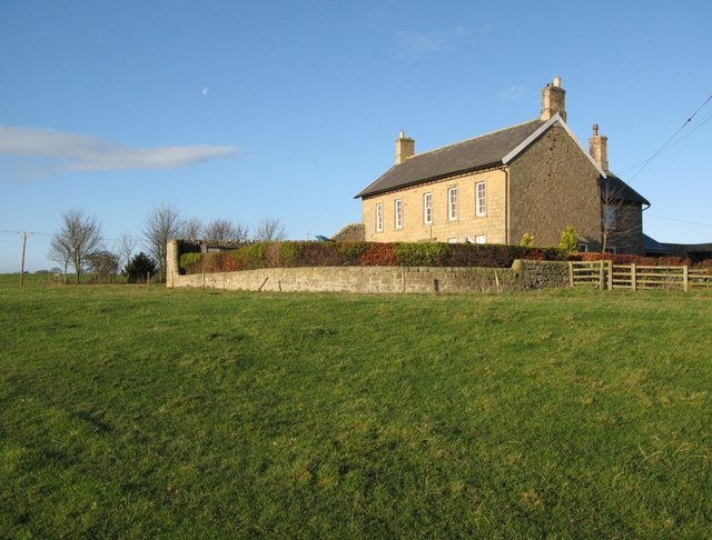
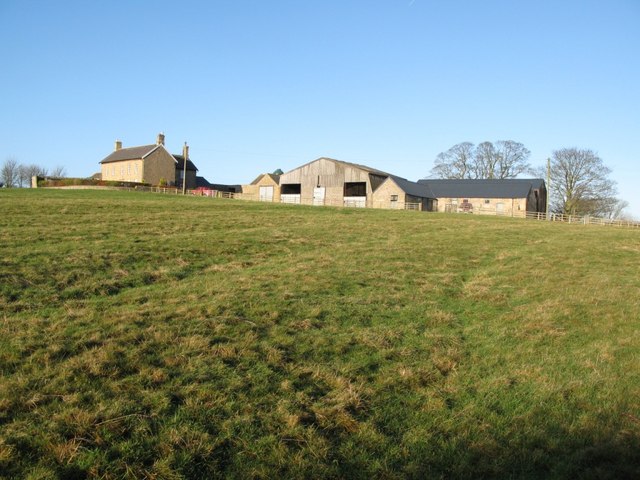
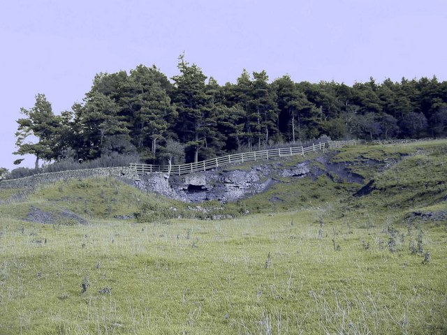
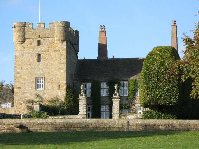
Down Hill Images
Images are sourced within 2km of 55.010904/-1.9920108 or Grid Reference NZ0068. Thanks to Geograph Open Source API. All images are credited.


Down Hill is located at Grid Ref: NZ0068 (Lat: 55.010904, Lng: -1.9920108)
Unitary Authority: Northumberland
Police Authority: Northumbria
What 3 Words
///sensual.outs.alerting. Near Corbridge, Northumberland
Nearby Locations
Related Wikis
Milecastle 21
Milecastle 21 (Down Hill) was a milecastle of the Roman Hadrian's Wall. The site was identified by measurement only, as the milecastle's remains have...

Hunnum
Hunnum (also known as Onnum, and with the modern name of Halton Chesters) was a Roman fort on Hadrian's Wall located north of the modern-day village of...
Halton, Northumberland
Halton is a village and former civil parish, now in the parish of Whittington, in the southern part of Northumberland, England. It is situated 3 miles...
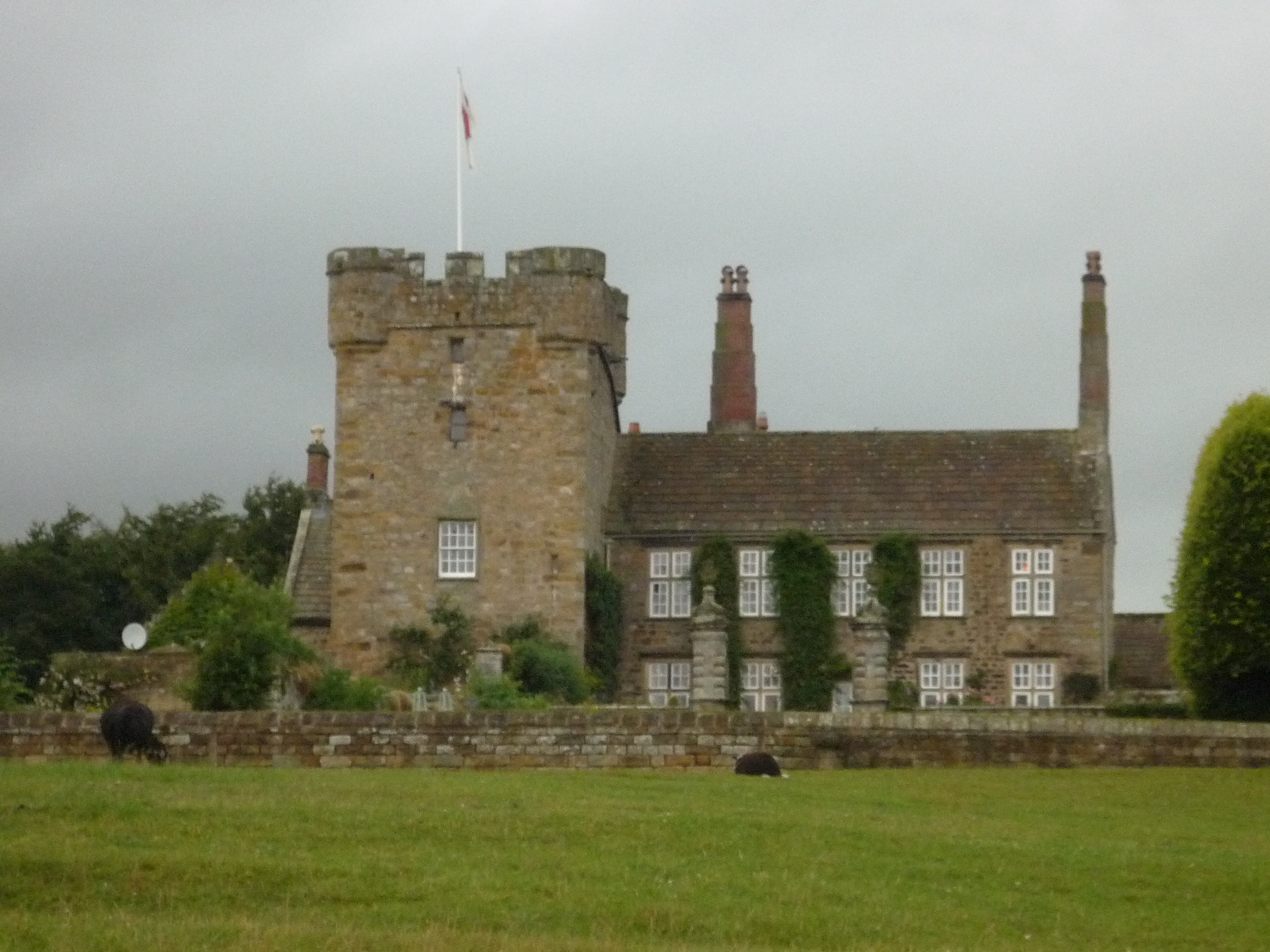
Halton Castle, Northumberland
Halton Castle is a pele tower and grade I listed building situated close to Hadrian's Wall to the north of the village of Corbridge in Northumberland,...
Nearby Amenities
Located within 500m of 55.010904,-1.9920108Have you been to Down Hill?
Leave your review of Down Hill below (or comments, questions and feedback).