Little Manshead Hill

Hill, Mountain in Yorkshire

England

Little Manshead Hill

Ruin on Collin Hill, below Manshead End This used to be a shooting box
Ruin on Collin Hill, below Manshead End Credit: John Slater

Little Manshead Hill is a prominent natural landmark located in the stunning county of Yorkshire, England. Situated in the heart of the Yorkshire Dales National Park, this hill stands at an impressive height of approximately 365 meters (1,198 feet) above sea level.

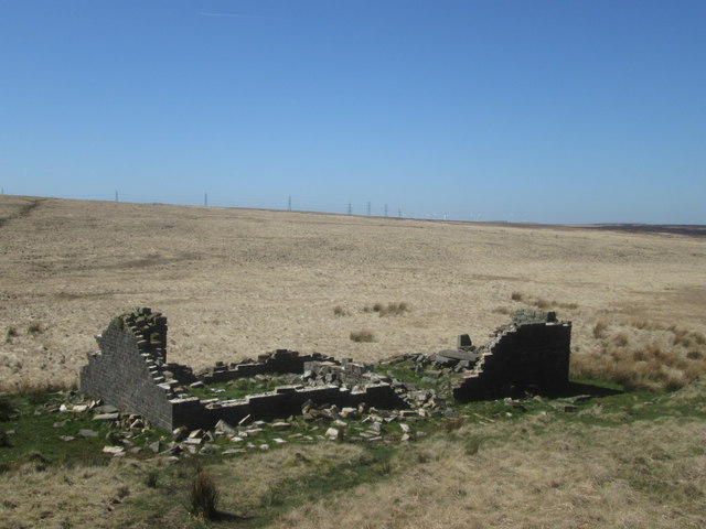
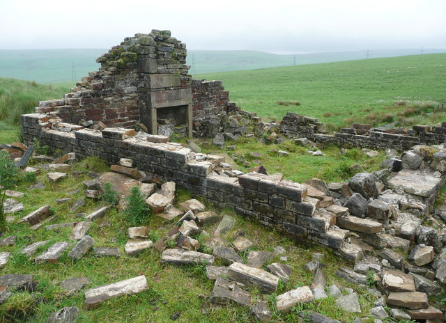
This picturesque hill is renowned for its outstanding panoramic views of the surrounding countryside, offering visitors a breathtaking vista of rolling hills, lush green valleys, and charming villages. Its vantage point provides a perfect spot for nature enthusiasts, hikers, and photographers to capture the beauty of the Yorkshire Dales.

Little Manshead Hill is adorned with an abundance of flora and fauna, boasting a diverse range of plant species and wildlife. It is home to numerous bird species, such as red grouse, skylarks, and curlews, making it a haven for birdwatchers. The hill's slopes are carpeted with heather, which transforms into a vibrant purple hue during the summer months, creating a spectacular sight.

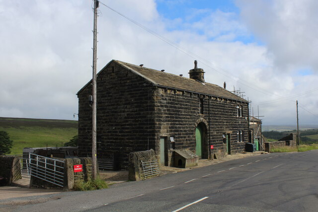
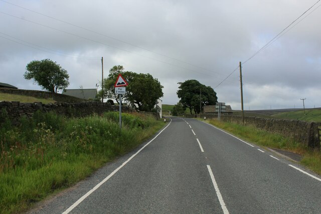
The hill is easily accessible via footpaths and bridleways, allowing visitors to explore its scenic surroundings. It is a popular destination for outdoor activities, including hiking, mountain biking, and horse riding. Additionally, the nearby villages provide quaint pubs and cafes, where visitors can relax and enjoy traditional Yorkshire delicacies.

Little Manshead Hill offers a tranquil retreat from the hustle and bustle of urban life, inviting visitors to immerse themselves in the natural beauty and tranquility of the Yorkshire Dales. Whether one seeks a challenging hike, a peaceful picnic spot, or simply a breathtaking view, this hill is a must-visit destination for nature enthusiasts and adventurers alike.

If you have any feedback on the listing, please let us know in the comments section below.

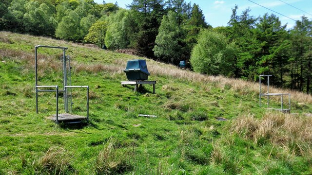
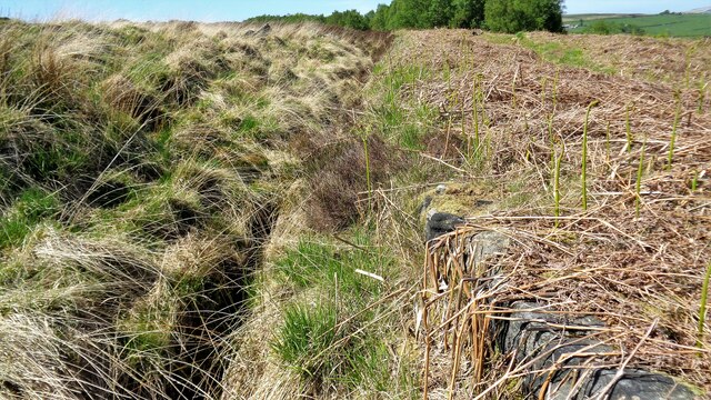
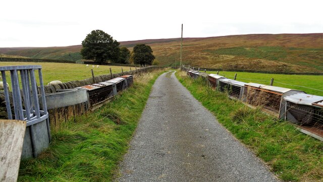
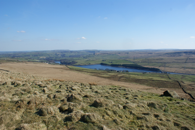
Little Manshead Hill Images

Images are sourced within 2km of 53.685626/-1.9924221 or Grid Reference SE0021. Thanks to Geograph Open Source API. All images are credited.

Ruin on Collin Hill, below Manshead End This used to be a shooting box
Ruin on Collin Hill, below Manshead End
This used to be a shooting box
Pond on the watershed, near Collin Hill, Soyland The photographer grid reference is from my GPS; I thought I was a little further south. The black building is the ruined shooting box below Collin Hill. The track shown on the map was not visible, although it is a broad strip of darker colour on the Google satellite image on 'Grab a Grid Reference Duo', which also shows what could be Lee Bridge (shown on the 1850 six-inch map) at <a href="https://www.geograph.org.uk/gridref/SD99191959">SD99191959</a>. Lee Bridge was on a track called Higher Liberty Gate.
Pond on the watershed, near Collin Hill, Soyland
The photographer grid reference is from my GPS; I thought I was a little further south. The black building is the ruined shooting box below Collin Hill. The track shown on the map was not visible, although it is a broad strip of darker colour on the Google satellite image on 'Grab a Grid Reference Duo', which also shows what could be Lee Bridge (shown on the 1850 six-inch map) at SD99191959. Lee Bridge was on a track called Higher Liberty Gate.
Ruined shooting box, Collin Hill, Soyland The building had two main rooms, each with a fireplace in the end wall. The fireplaces are made of smooth ashlar stone. The way that the pieces of stone are scattered by the side of the building suggests vandalism.
Ruined shooting box, Collin Hill, Soyland
The building had two main rooms, each with a fireplace in the end wall. The fireplaces are made of smooth ashlar stone. The way that the pieces of stone are scattered by the side of the building suggests vandalism.
Path from the ruined shooting box to Manshead End, Soyland This is a more direct path than the waymarked permissive path. It climbs up steeply from the shooting box, over Collin Hill, then descends to the little wet patch, with rushes, in this image. Then there is a climb up to Manshead End, with its bench seat and trig. pillar.
Path from the ruined shooting box to Manshead End, Soyland
This is a more direct path than the waymarked permissive path. It climbs up steeply from the shooting box, over Collin Hill, then descends to the little wet patch, with rushes, in this image. Then there is a climb up to Manshead End, with its bench seat and trig. pillar.
Trig point at Manshead End
On Soyland Moor with view towards Manshead End
Nearly at the top of Manshead End Manshead End is the southern end of the moorland plateau which forms Great Manshead Hill. This image is taken just below the rim of the plateau.
Nearly at the top of Manshead End
Manshead End is the southern end of the moorland plateau which forms Great Manshead Hill. This image is taken just below the rim of the plateau.
The western side of Manshead End Looking towards Stoodley Pike Monument which stands out in the centre.
The western side of Manshead End
Looking towards Stoodley Pike Monument which stands out in the centre.
Manshead End The southern end of the plateau of Great Manshead Hill, looking down towards Baitings Reservoir.
Manshead End
The southern end of the plateau of Great Manshead Hill, looking down towards Baitings Reservoir.
Trig point on Manshead End Quite a large moorland plateau. Halifax can be seen in the distance.
Trig point on Manshead End
Quite a large moorland plateau. Halifax can be seen in the distance.
Sykes Gate Farm Laithe style farm located at the junction of Blackstone Edge Road with New Road.
Sykes Gate Farm
Laithe style farm located at the junction of Blackstone Edge Road with New Road.
Blackstone Edge Road Section of the B6138 between Mytholmroyd in Calderdale and the A58 at Blackstone Reservoir.
The road climbs unremittingly for over 5 miles without a pause - making it the longest road ascent in England, thus attracting cyclists from far and wide. At this point the three mile mark has been passed, with legs starting to turn to jelly for most of the two wheeler fraternity.
Blackstone Edge Road
Section of the B6138 between Mytholmroyd in Calderdale and the A58 at Blackstone Reservoir. The road climbs unremittingly for over 5 miles without a pause - making it the longest road ascent in England, thus attracting cyclists from far and wide. At this point the three mile mark has been passed, with legs starting to turn to jelly for most of the two wheeler fraternity.
Clay Pigeon Shooting Stands Off the track to Higher House
Clay Pigeon Shooting Stands
Off the track to Higher House
Withins Clough Reservoir Catchwater It is hardly visible on Cove Hill
Withins Clough Reservoir Catchwater
It is hardly visible on Cove Hill
Liberty Rush Bed With Blake Moor across Turvin Clough
Liberty Rush Bed
With Blake Moor across Turvin Clough
Washfold Road View away from Sykes Gate Farm towards Turvin Clough
Washfold Road
View away from Sykes Gate Farm towards Turvin Clough
Path along the Edge of the Broad Ridge of Great Manshead Hill
Looking east along the A58, Rochdale Road Taken from near Baiting Reservoir.
Looking east along the A58, Rochdale Road
Taken from near Baiting Reservoir.
Show me another place!

Little Manshead Hill is located at Grid Ref: SE0021 (Lat: 53.685626, Lng: -1.9924221)

Division: West Riding

Unitary Authority: Calderdale

Police Authority: West Yorkshire

What 3 Words

///glides.shin.joked. Near Ripponden, West Yorkshire

Related Wikis

Cragg Vale

Cragg Vale is a village in Calderdale, West Yorkshire, England, located south of Mytholmroyd on the B6138 road which joins the A58 and the A646. The village...

Baitings Reservoir

Baitings Reservoir is a large water supply reservoir operated by Yorkshire Water close to Ripponden in the West Yorkshire Pennines, England. It lies in...
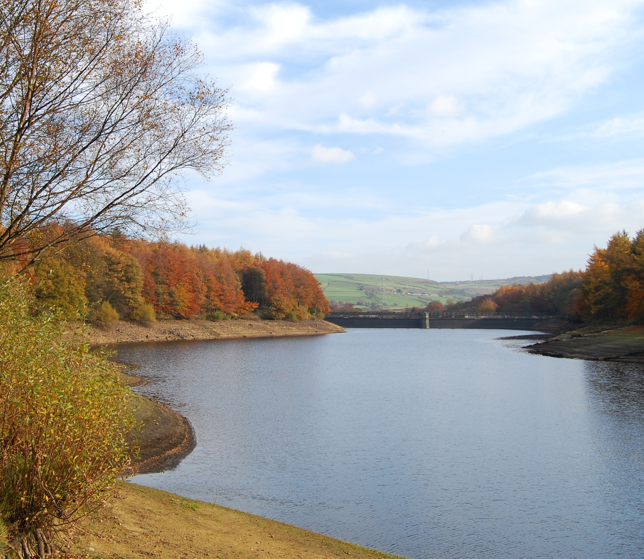
Ryburn Reservoir

Ryburn Reservoir is a supply reservoir operated by Yorkshire Water close to Ripponden in the Yorkshire Pennines, England. It lies in the valley of the...

Soyland

Soyland is a village in Calderdale, West Yorkshire, England. It is just north of Ripponden off the A58 road and is 5 miles (8 km) south west of Halifax...
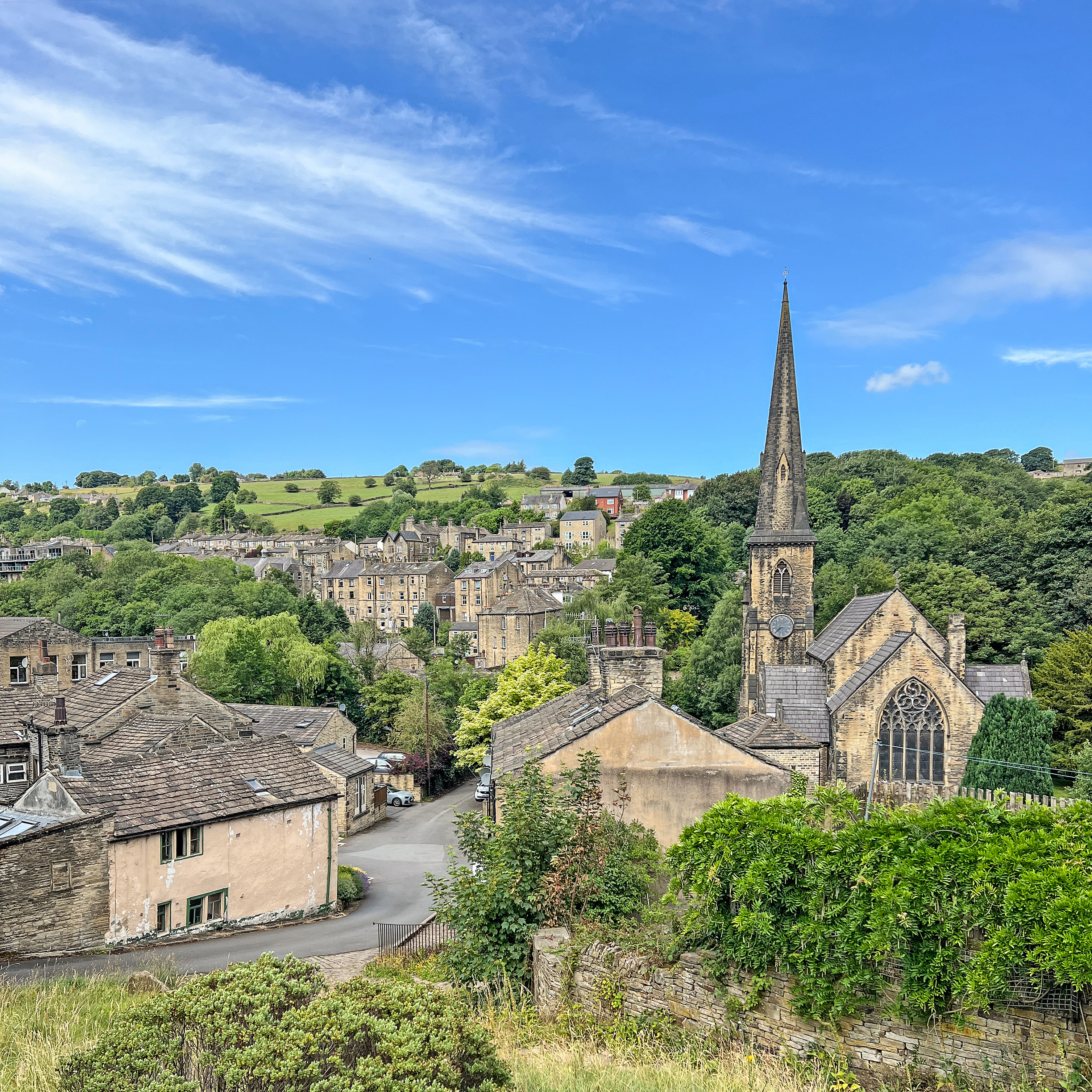
Ripponden

Ripponden is a village and civil parish on the River Ryburn near Halifax in West Yorkshire, England. Historically it was part of the West Riding of Yorkshire...

Rishworth

Rishworth is a village in Calderdale, West Yorkshire, England. Historically in the West Riding of Yorkshire, it has a small church, farms and schools...
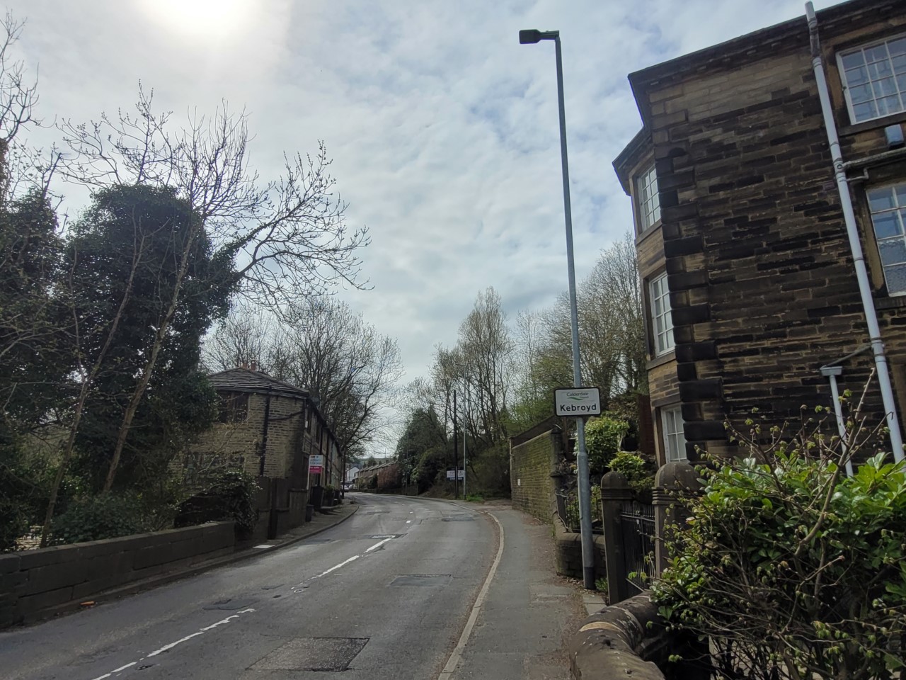
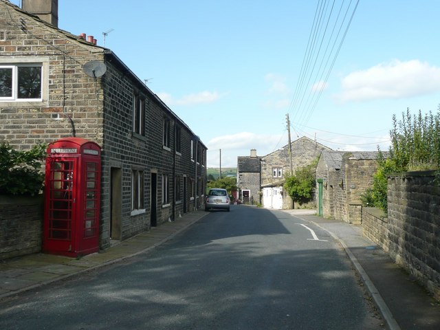
Kebroyd

Kebroyd is a small hamlet in the civil parish of Ripponden, in the Calderdale district, in West Yorkshire, England, within the valley of the River Ryburn...

Rishworth School

Rishworth School is a co-educational independent school in the village of Rishworth, near Halifax, in West Yorkshire, England. With Heathfield, its junior...

Nearby Amenities

Located within 500m of 53.685626,-1.9924221
Sykes
Place: locality
Source: NPE
Lat/Long: 53.6866014/-1.9984992
The data included in this document is from www.openstreetmap.org. The data is made available under ODbL.

Have you been to Little Manshead Hill?

Leave your review of Little Manshead Hill below (or comments, questions and feedback).